Bobolink Trail
View Photos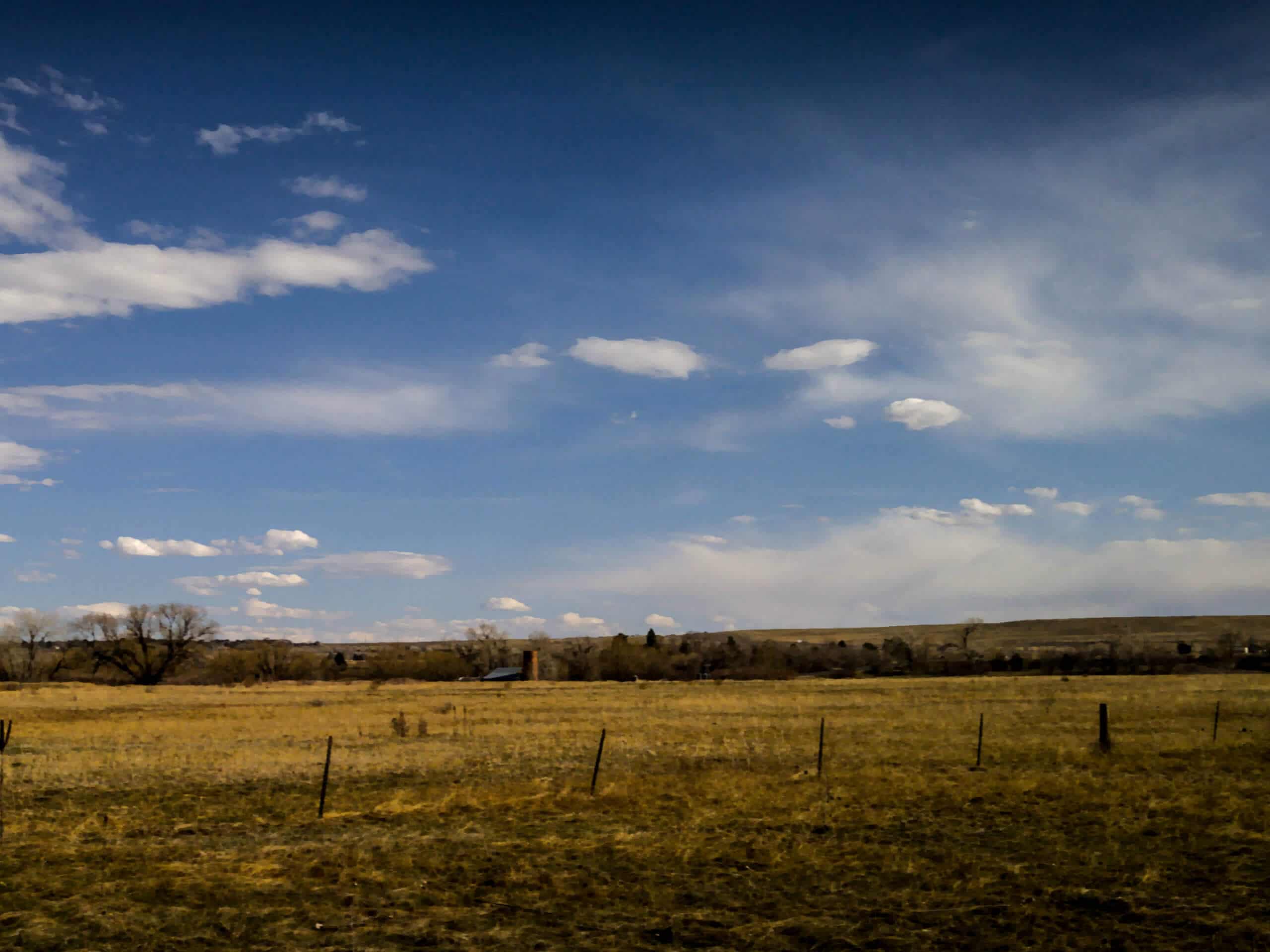
Bobolink Trail
Difficulty Rating:
Hike along the curves of the South Boulder Creek and through vibrant aspens as you walk the Bobolink Trail. Family-friendly, wheelchair and stroller accessible, this path checks all the boxes. Escape the hustle and bustle of the city and reconnect with nature along this urban woodland adventure.
Getting there
The Bobolink Trail departs from the trailhead off Baseline Road.

About
| Backcountry Campground | No |
| When to do | Year-round |
| Pets allowed | Yes - On Leash |
| Family friendly | Yes |
| Route Signage | Average |
| Crowd Levels | High |
| Route Type | Out and back |
Bobolink Trail
Elevation Graph
Weather
Bobolink Trail Description
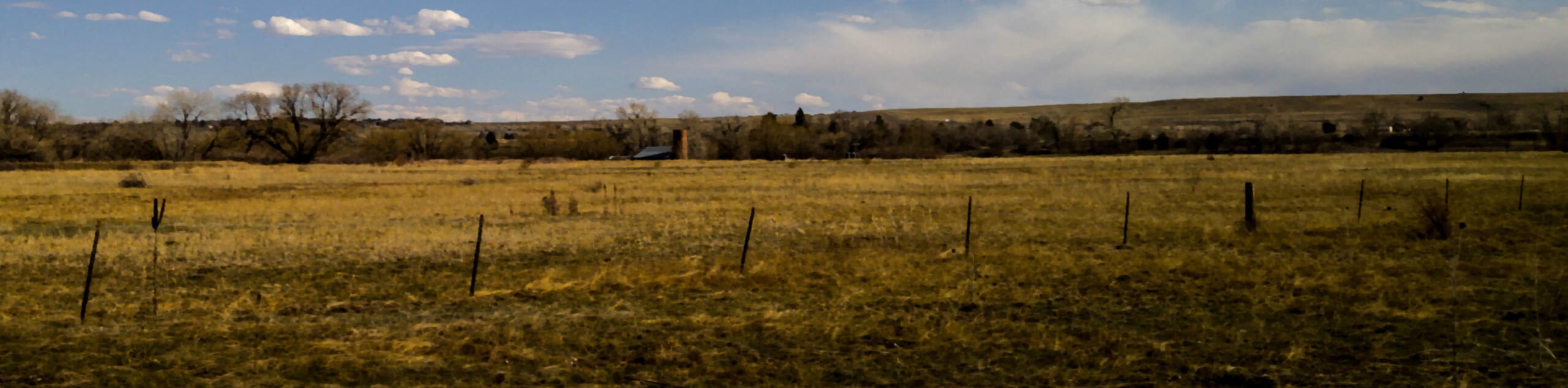
The Bobolink Hike is the perfect family-friendly nature walk located in Boulder’s city center. Great for a lunch break escape or a post-brunch walk, this charming adventure is a must-add to your Boulder itinerary. Open year-round, each season exhibits a different aspect of Colorado’s beauty. Autumn is our personal favorite time to hike this path as the aspen trees are at their peak vibrance, but in the summer you are rewarded with colorful wildflowers. The winter presents the perfect opportunity to snowshoe too, so you really can’t go wrong—just get out there into the fresh air. We know you will enjoy this walk just as much as we do.
Embark on your journey along the Bobolink Trail from the trailhead off Baseline Road. From here, track south along the South Boulder Creek Trail. As you wander along the path, you will be granted sparse views of the Baseline Reservoir in the east through the tree breaks. Not long after your departure from the trailhead, you will cross a small bridge over an intersecting stream. Continue hiking south along South Boulder Creek, enjoying the ambiance of the babbling waters. The path will weave between tree shade and grassy fields before delivering you to the trail’s end.
You will confront your turnaround point when you meet the South Boulder Road. From here, simply retrace your footing all the way back to the trailhead, marking the end of your adventure!
Similar hikes to the Bobolink Trail hike

Crown Rock Trail
The Crown Rock Trail is a short but sweet nature walk that presents the perfect excuse to get the family…
Chautauqua, Bluebell and Baird Trail
Immerse yourself into nature and get some fresh air along the Chautauqua, Bluebell and Baird Trail. Conveniently located just outside…
Bluebell, Woods Quarry, and Enchanted Mesa Loop
The Bluebell, Woods Quarry and Enchanted Mesa Loop is a charming nature walk in the Boulder Open Space. Conveniently located…
Comments