1st Flatiron hike
View Photos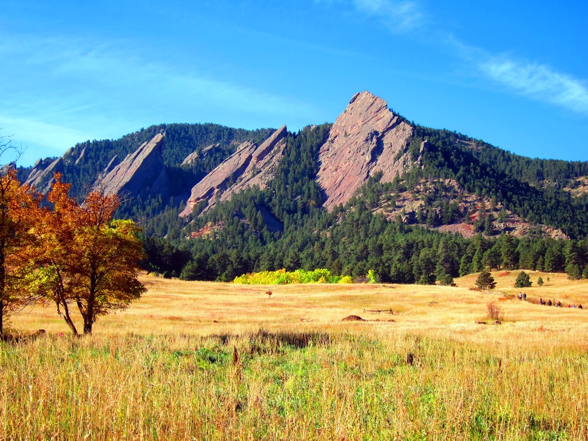
1st Flatiron hike
Difficulty Rating:
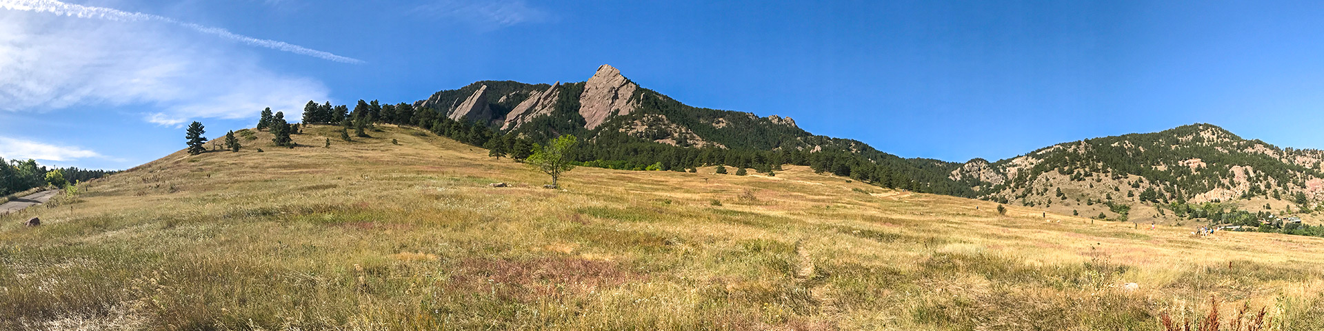
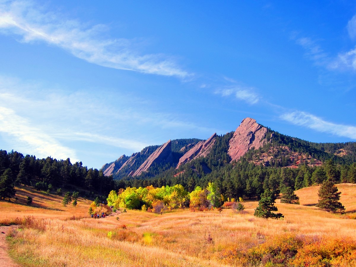
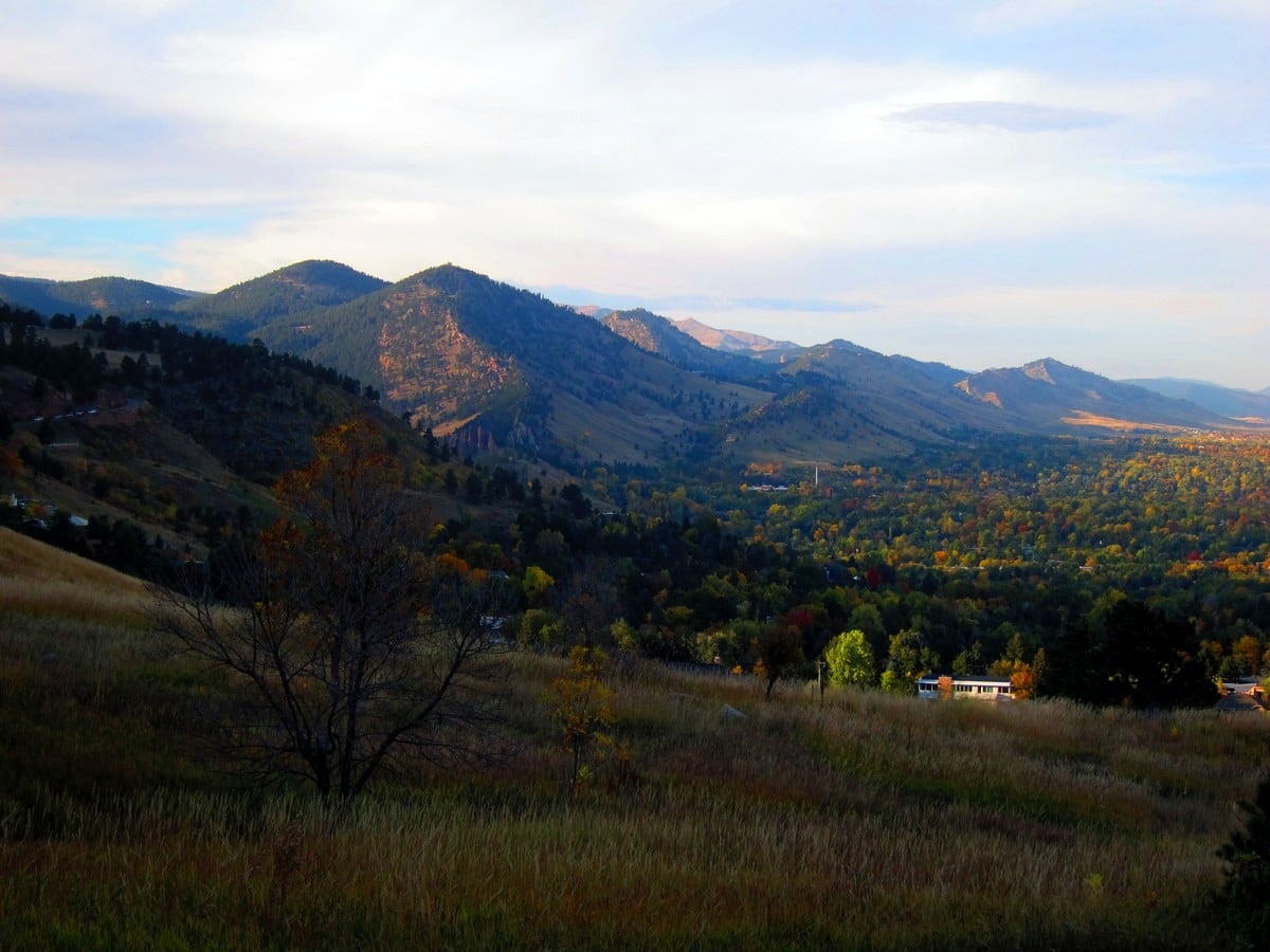
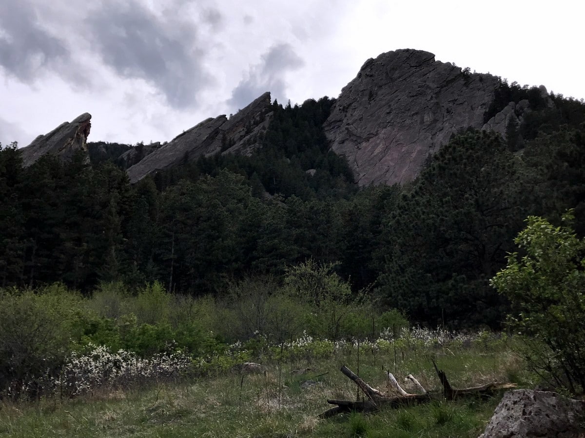
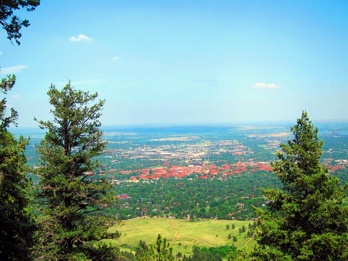
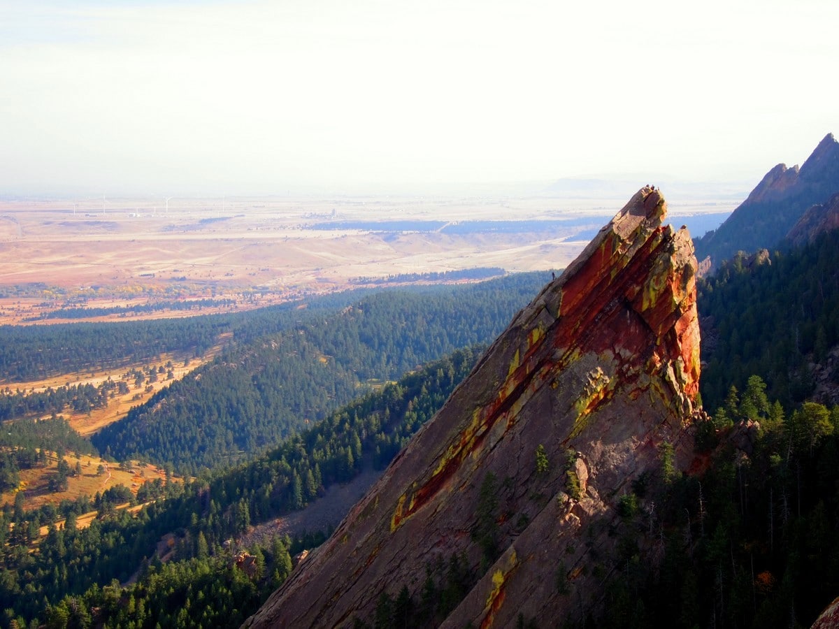
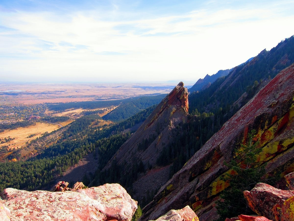
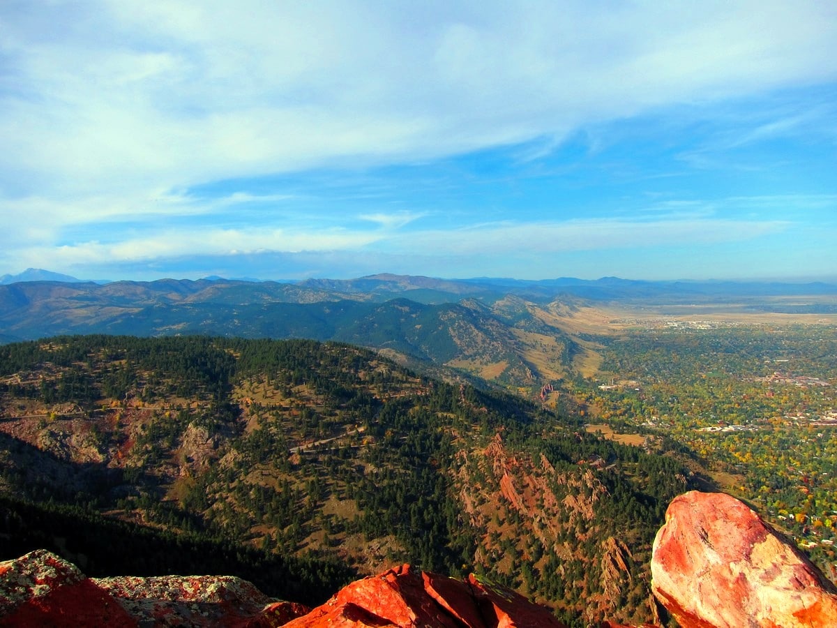
The 1st Flatiron hike is the most popular trail in Boulder. This hike is popular for a reason, it’s a great hike! Starting just outside of town, this short hike takes you to one of Boulder’s most recognizable natural features, the 1st Flatiron. This large blade of rock is beautiful and impressive. Make sure to bring your camera on this hike!
Getting there
This hike begins at Chautauqua Park at the base of the Boulder Flatirons. Take Baseline Rd. towards Flagstaff Mountain, parking is available along Baseline Rd. or in Chautauqua Park.

About
| When to do | Year round |
| Backcountry Campsites | No |
| Toilets | Yes, primitive pit toilet |
| Family friendly | Yes |
| Route Signage | Average |
| Crowd Levels | High |
| Route Type | Out and back |
1st Flatiron
Elevation Graph
Weather
Route Description for 1st Flatiron
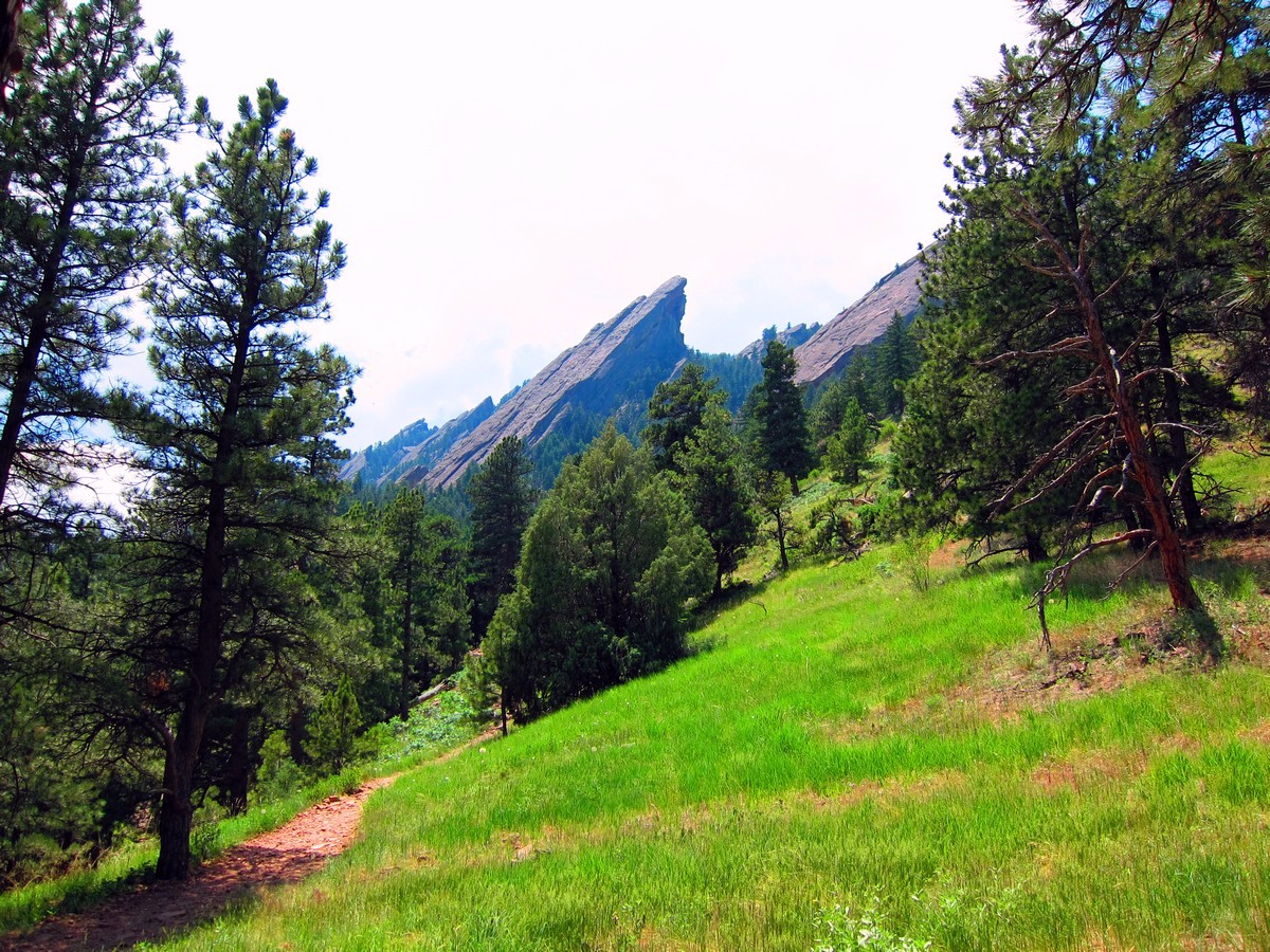
Starting from Chautauqua Park, pass by the Ranger Station and begin at the trailhead for Chautauqua Trail. Hike up hill, with the Flatirons directly in front of you along a wide gravel path.
At the second major junction, the trail connects with Flatirons Loop Trail, and after a short distance, take a right onto 1st / 2nd Flatiron Trail. The trail becomes narrower, rockier and steeper from this point on, as it quickly gains elevation.
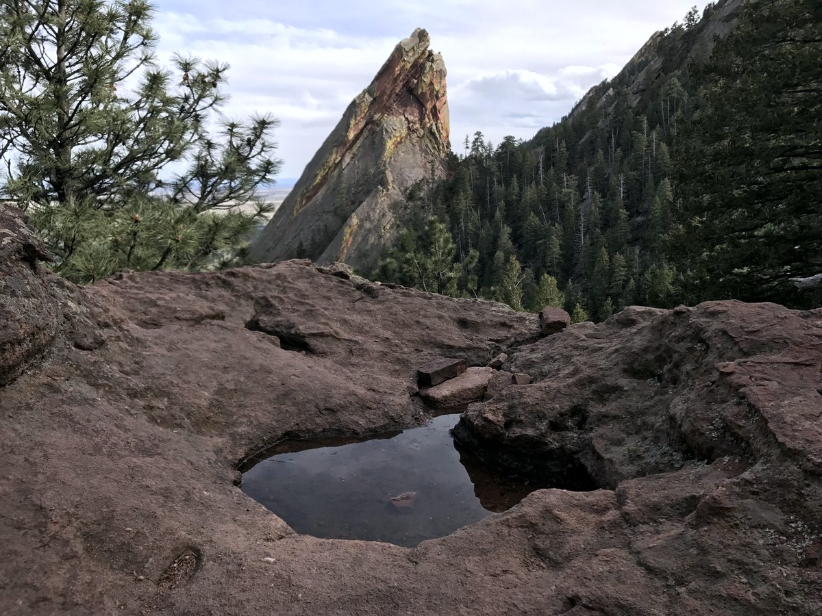
Hike aross a scree field along the well-defined path to the beginning of the steep switchbacks. Once at the base of the 1st Flatiron, you will pass a split in the trail and a bridge which is used for climbing access.
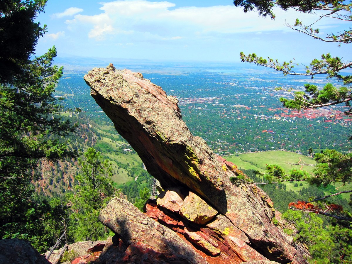
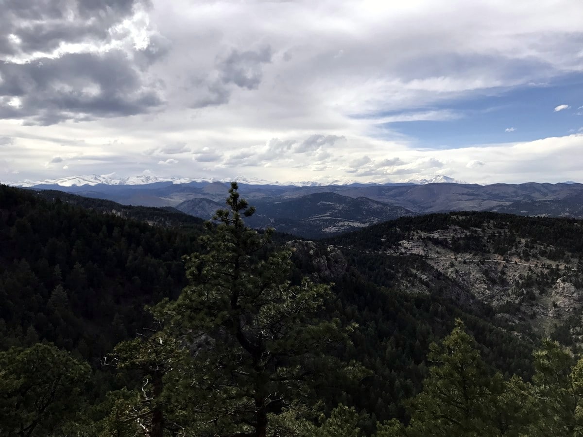
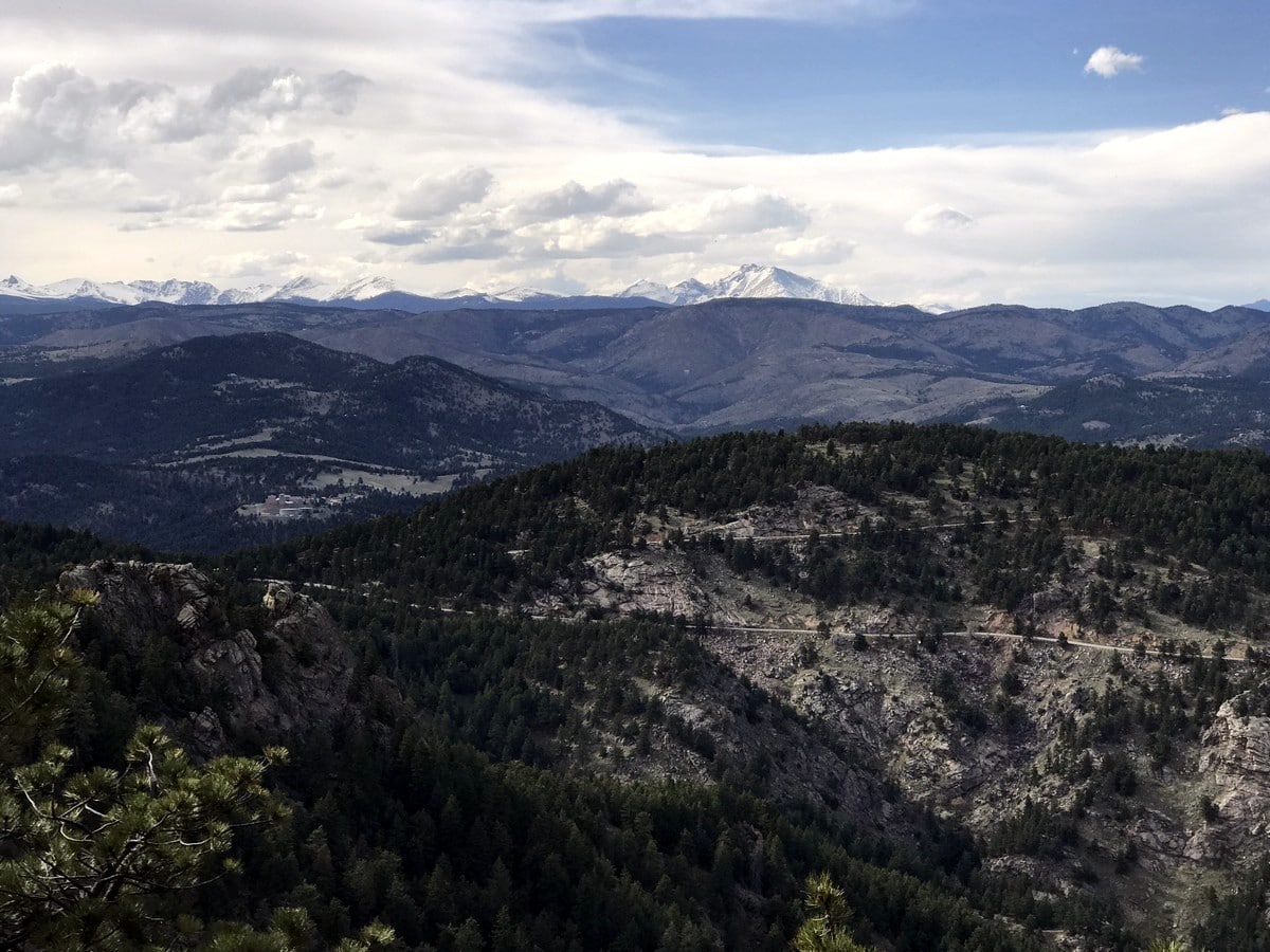
Part-way up the hike, there is one semi-technical section of hiking, where there are steps carved into the rocks for ascending a short rocky gully. Continue along the switchbacks, ping-ponging between the 1st and 2nd Flatirons, until finally reaching the saddle between the two.
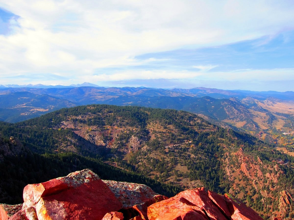
From the saddle, a spectacular view of the 3rd Flatiron becomes visible. The trail ends at an overlook on the backside of the 1st Flatiron. From the overlook, a view of Longs Peak (14259ft) and Indian Peaks Wilderness is off in the distance. To descend, hike back the way you came.
The Flatirons in general, are very popular and attract large groups of people. Its proximity to Downtown Boulder and Colorado University, make it a heavily trafficked trail. Despite its popularity, it is still an amazing hike and a must-do when in Boulder.
Find more amazing hikes around Boulder:
Insider Hints
You have to pay to park at the Chautauqua Park, but as we mentioned in ‘Getting There’ you can find additional parking along Baseline Road.
Heavy foot traffic and erosion hasn’t been great for this trail even with continual trail maintenance from local volunteers. Please don’t cut short the switchbacks and remain on the trail.

Similar hikes to the 1st Flatiron hike

NCAR to Fern Canyon Hike
The NCAR to Fern Canyon Hike is an awesome but challenging adventure up to the summit of Nebel Horn. Put…

Crown Rock Trail
The Crown Rock Trail is a short but sweet nature walk that presents the perfect excuse to get the family…

Rattlesnake Gulch Trail
The Rattlesnake Gulch Trail is an epic adventure through the Eldorado Canyon State Park. Ascend the steep cliffs of Eldorado…
TopherSan 4 years ago
Superb views! One of my favorite easy hikes.
Stevie M 4 years ago
Great hiking with fresh air. I think it was a good workout.
Anabelle Clyde 4 years ago
A bit challenging for such spectacular views. Now I know why this place is popular.
jennyspencer 4 years ago
The scenery was inspiring to see. It has unique features that would set it apart from the rest.
Jane Lewitt 4 years ago
The elevation and climbing were challenging. Phenomenal views throughout the hike!
Lux L. 4 years ago
I have nothing but praise for this hike! At first you might find it boring, but just keep going!
Sammy L. 4 years ago
I really enjoyed this with the beautiful views
will-perry 4 years ago
How big, how blue, how beautiful the sky was when we visited. Everything was perfect.
mendel 4 years ago
Glad we bought a new gopro to capture all our adventures here. It was magnificent!
Florence P. 4 years ago
Such a beautiful hike. Fairly-easy, just gradual elevation