Whychus Creek Trail hike
View Photos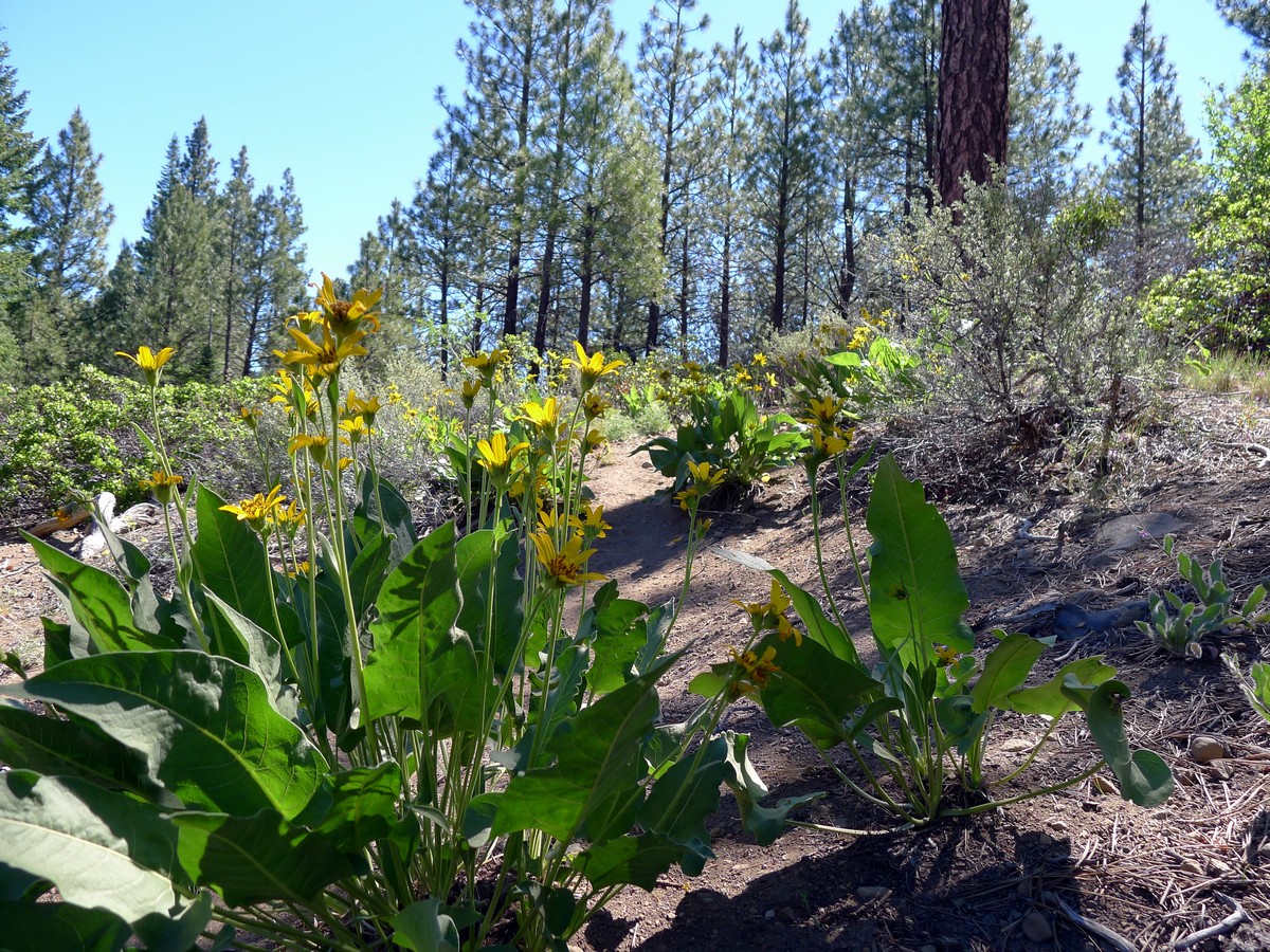
Getting there
From Bend head north on US-97 for a short while until you see signs for Sisters. Exit the highway and turn onto US-20 heading west toward Sisters. After driving 22.0mi, turn left onto Elms Street and follow this road for about 5.0mi. Look for a very small hiker symbol on the right. Park here to begin the hike.

About
| When to do | Year Round |
| Backcountry Campsites | Yes |
| Toilets | None |
| Family friendly | Yes |
| Route Signage | Average |
| Crowd Levels | Low |
| Route Type | Out and back |
Whychus Creek Trail
Elevation Graph
Weather
Route Description for Whychus Creek Trail
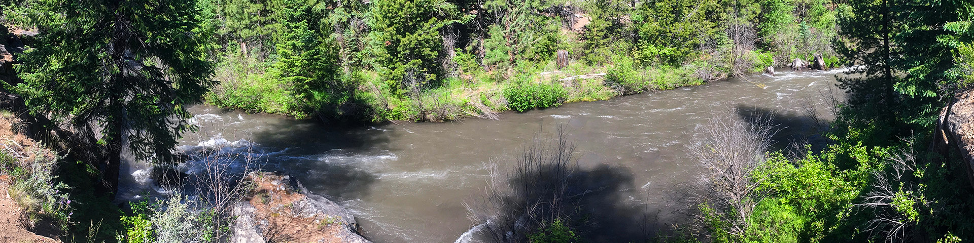
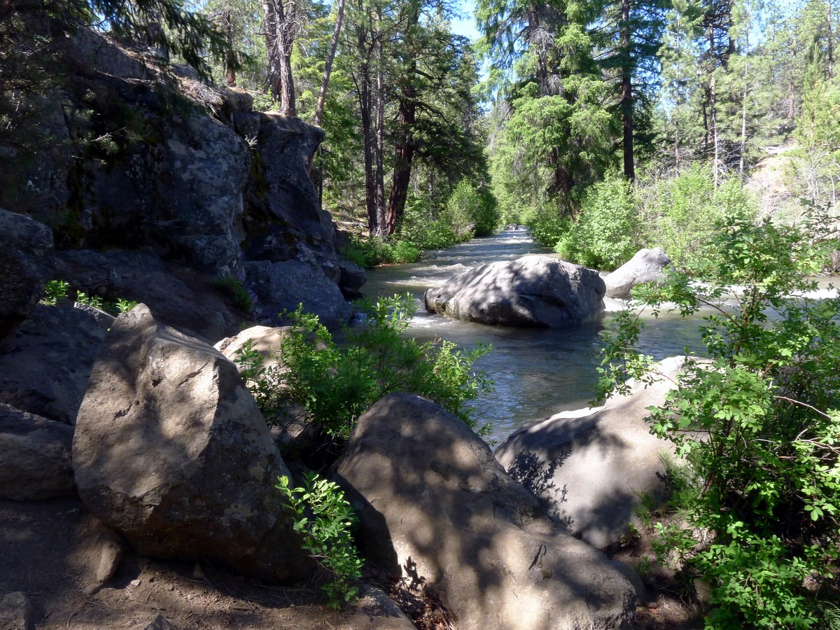
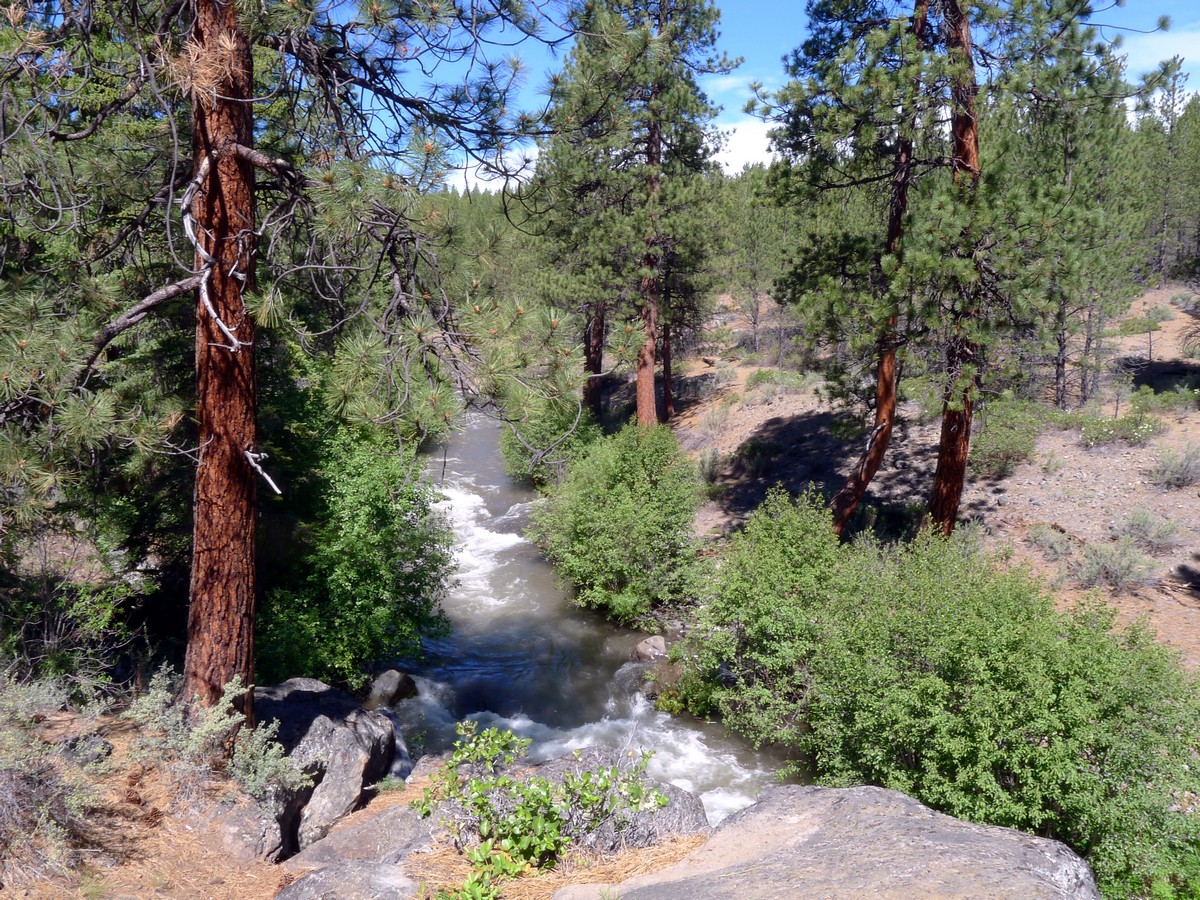
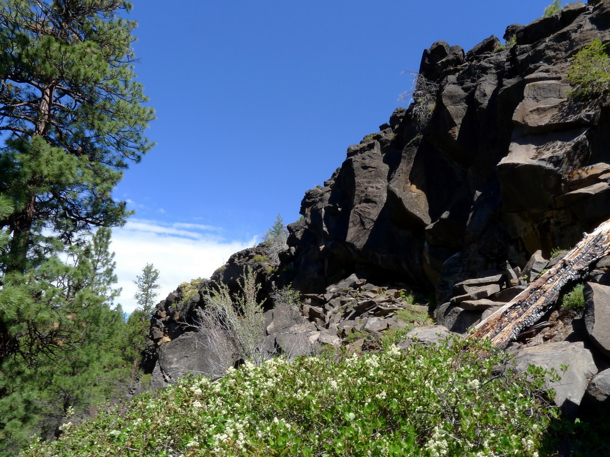
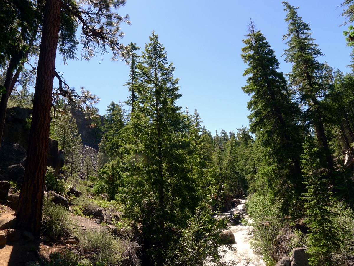
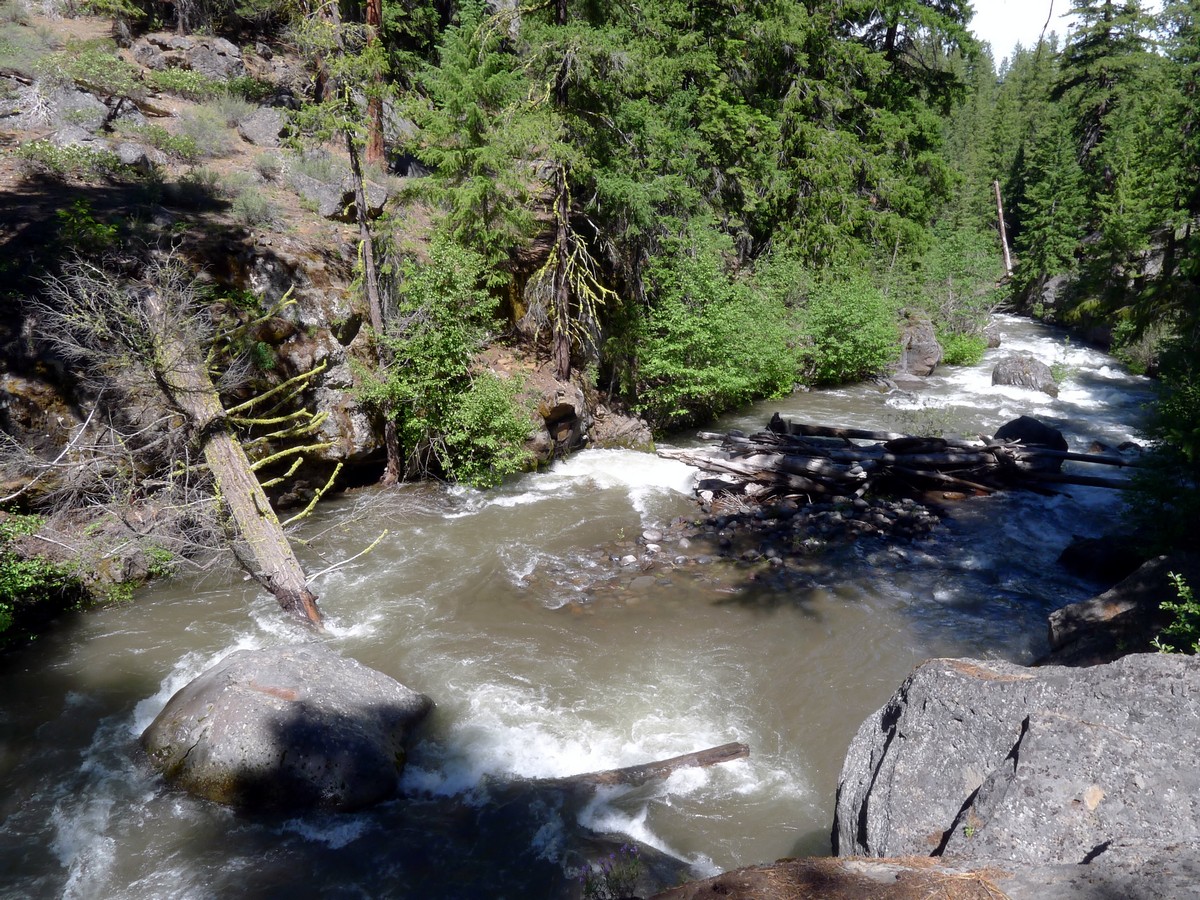
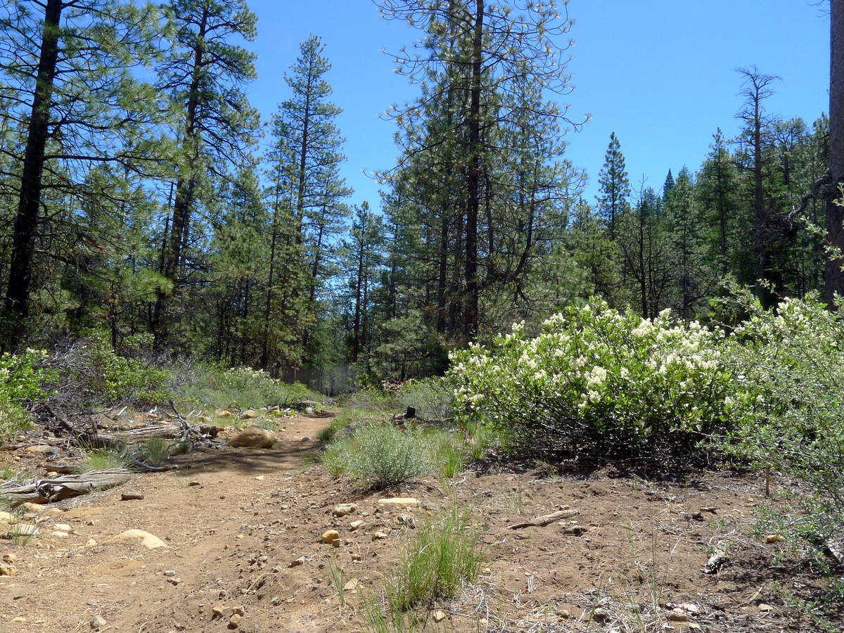
Descend along the single-track trail down to the river before turning left to begin following the river. The trail trends upwards along the river and never gains much elevation. You will pass by numerous small waterfalls as you climb.
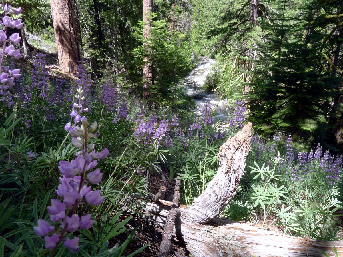
Weaving through awesome ponderosa pine forests, the trail never gets too far from the creek. Follow signs for the Whychus Creek Trail at all trail junctions. The trail ends at the junction of the Metolius and Windigo trails, where you will find a small walk-in campsite.
There are deep eddies along much of the walk, which offer many spots to jump in and cool off. The trees don’t always provide ample shade, so a dunk is sometimes necessary! After hiking beside this gurgling stream leading to a campsite, return the way you came.
Would you like to try an easier hike around Bend? Check out the Tumalo Falls.
Insider Hints
If hiking with kids, simply go for as long as you want then turn around.

Similar hikes to the Whychus Creek Trail hike
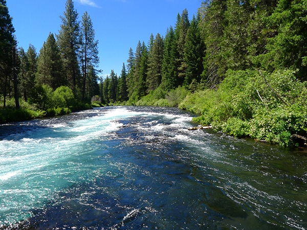
West Metolius River
It’s a postcard-perfect river walk: simple as that. The Metolius River is unbelievably beautiful and the easy hike along its…
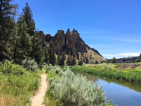
Smith Rock’s Summit Trail Loop
Hiking around the stunning Smith Rock State Park is popular for a reason! This wonderful trek near Bend circumnavigates the…
Green Lakes
Arguably the most popular hike near Bend, the Green Lakes Trail walks you up Fall Creek to the namesake lakes…
Sally S. Norbert 4 years ago
Beautiful waterfalls. Great hike!
Suzy TQ 4 years ago
Super fun, and a nice short hike if you only have a couple hours available. Bring better bug spray!
HIllaryPNW 4 years ago
Great scenic place, great trails, the great outdoors
Jennifer M. 4 years ago
Great and easy trail. There are some icy sections on the trail but it's still manageable. Would definitely go back again.
T Rob 4 years ago
The hike is in the heart of the Sisters Wilderness and waterfalls were magnificent
Adelina Krukova 5 years ago
Be prepared for a bit of a challenge with a pretty steep ascent. There are also lots of picnic spots here. Bring lots of water because it was pretty hot, especially if you arrive around 1pm.
sweethomealana 5 years ago
The trail itself is okay, with some beautiful views. There were some muddy spots in the shade. You can also bring your dogs here which is awesome.
AltaVito 5 years ago
Easy short hike! Safe and family-friendly.
Emma Paxton 5 years ago
The trail was easy to follow and we had a great time exploring the area.
Stewart M. 5 years ago
The river was not as beautiful as the previous river we visited so I'm a bit disappointed.