
West Metolius River hike
View Photos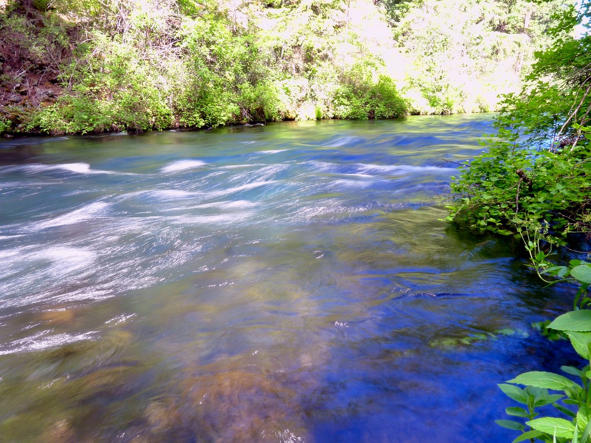
West Metolius River hike
Difficulty Rating:
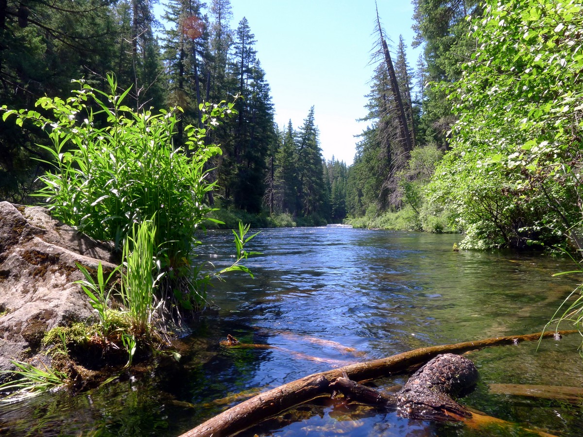
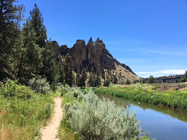
It’s a postcard-perfect river walk: simple as that. The Metolius River is unbelievably beautiful and the easy hike along its flank is worth the relatively long drive from Bend. The water is clear and flecked with stunning whitewater rapids. This truly is a trek worth taking.
Getting there
From Bend drive north along US-97 and then turn onto US-20 west towards Sisters for 32.0mi. After Black Butte Ranch turn right onto Camp Sherman Road and follow it for just under 3.0mi. Veer left to stay on Camp Sherman Road, which turns into NF-1419. After 5.5mi, turn right onto NF-1420 towards the Lower Canyon Creek Campground.

About
| When to do | Year Round |
| Backcountry Campsites | None |
| Toilets | At trailhead |
| Family friendly | Yes |
| Route Signage | Average |
| Crowd Levels | Moderate |
| Route Type | Out and back |
West Metolius River
Elevation Graph
Weather
Route Description for West Metolius River
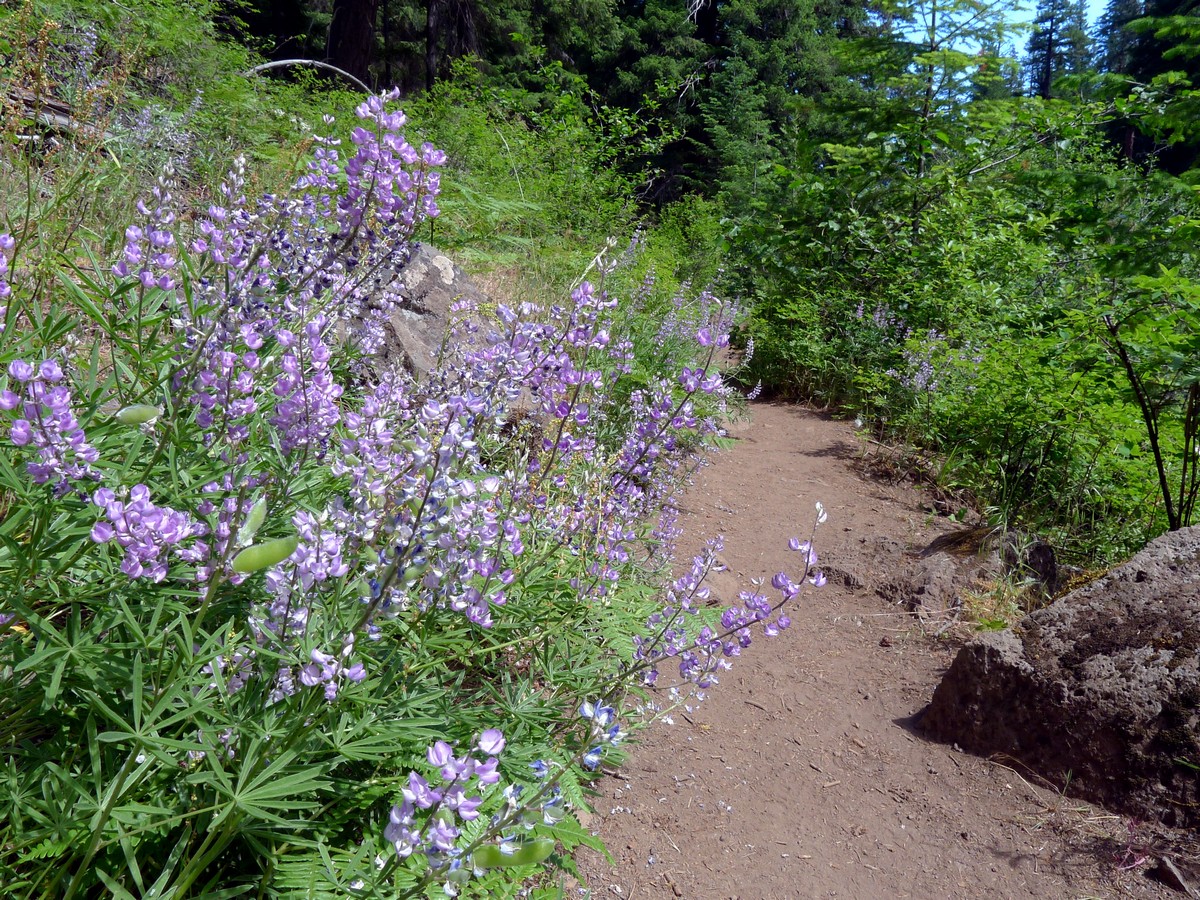
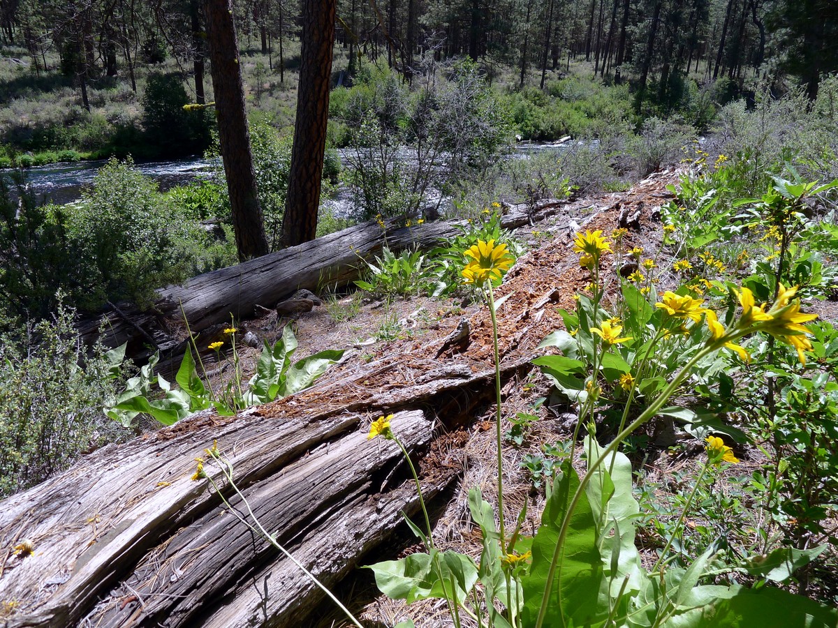
The trailhead is beside the small campground, where you’ll also find pit toilets. From the trailhead, descend down to the slow moving Metolius River. You will be shocked at how clear the river is! You will be able to see right down to the rocky bottom in the very center of the river. Begin hiking along the riverside, along the well-kept, flat trail.
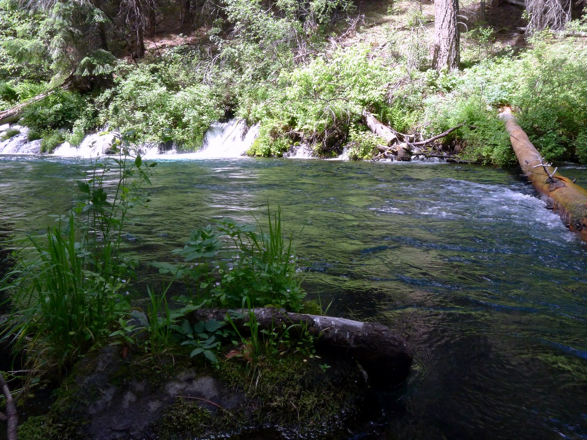
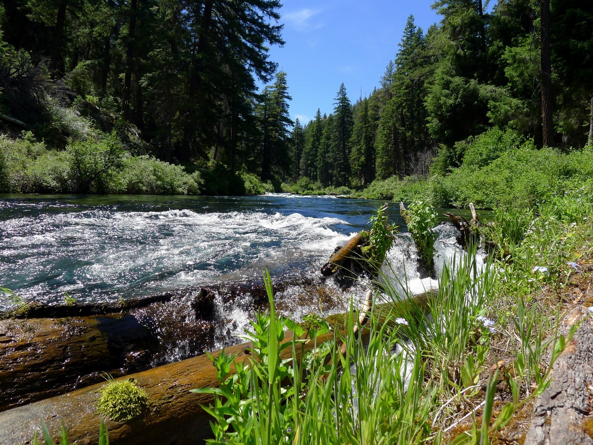
You will pass a small tributary waterfall, called Gushing Springs. This wide, short, gentle waterfall cascades slowly down to the river, creating a beautiful scene.
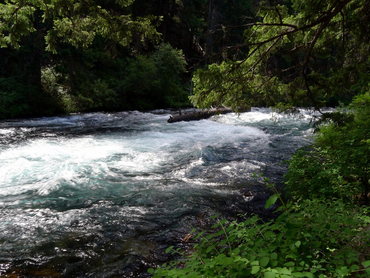
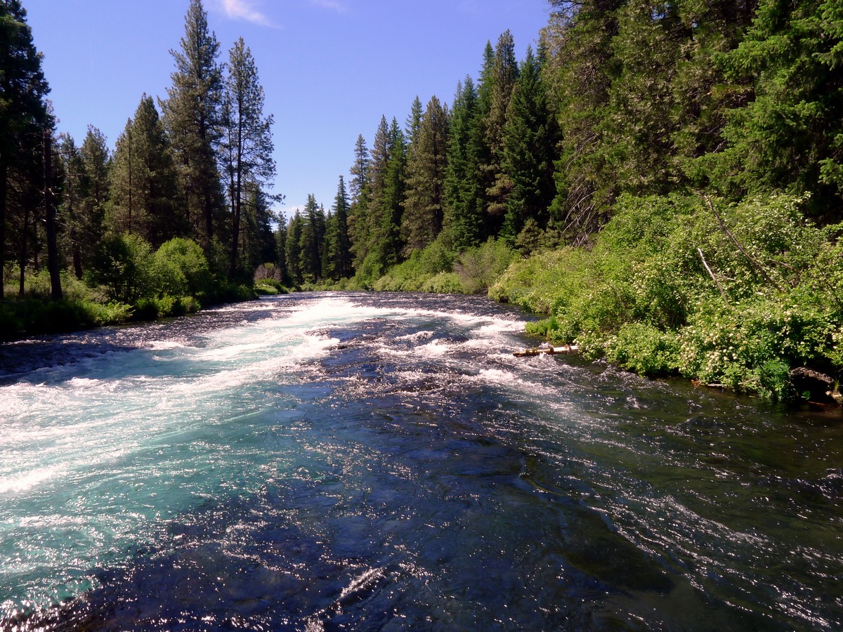
Continue hiking as the river veers left. You will pass by several sections of whitewater sets as you continue following the flow of the river. Approximately two-thirds of the way through, the trail will begin to ascend and you will traverse through a sparse forest. Soon you will arrive at the Wizard Fall Fish Hatchery, where you can feed the fish and is an interesting stop. Here there is a bridge and a parking area. This is also the turnaround point of the hike.
Return following your path you came out on.
Would you like to try a similar level hike around Bend? Check out the Tumalo Falls.
Insider Hints
You can also start the hike at the Wizard Falls Fish Hatchery, reached by going along NF-14 from Camp Sherman.
An option to extend the hike is to continue past the hatchery. You can go another 3.2mi to Pioneer Ford and the Lower Bridge.

Similar hikes to the West Metolius River hike
Smith Rock’s Summit Trail Loop
Hiking around the stunning Smith Rock State Park is popular for a reason! This wonderful trek near Bend circumnavigates the…
Black Butte
The trek up to Black Butte is a classic hike near Bend. The views from the top are nothing short…
Paulina Peak
The gradual hike to the gorgeous Paulina Peak is a top trek near Bend. The views from the top of…
Sally S. Norbert 4 years ago
Relatively flat with spectacular river views. I'd definitely comeback!
Suzy TQ 4 years ago
It’s an easy hike and gorgeous scenery. Ran into a lot of hikers and dogs. Everyone was friendly and courteous.
Kenny Walks 4 years ago
Beautiful hike. Love this trail.
HIllaryPNW 4 years ago
Just beautiful and peaceful.
Jennifer M. 4 years ago
Fantastic hiking experience. The benign trail was amazing. Also enjoyed the beautiful clear water from the lake.
T Rob 4 years ago
Did this a couple of days ago. Very peaceful hike.
VictoriaMD. 5 years ago
Great views of the forest. Beautiful rivers and wonderful camping area.
Adelina Krukova 5 years ago
The river is amazing. It has a vibrant and breathtaking blue color. It's a fun and enjoyable hike to do if you have children with you.
sweethomealana 5 years ago
Serene, beautiful and well maintained. The views of the river were beautiful, and you can see the snow-capped mountains in the distance.
Peter Snook 5 years ago
Great scenery and lots of interesting things to see. The path along the river is one of our favorites. This is a wonderful place to visit.