
Tiehack Hike
View Photos
Tiehack Hike
Difficulty Rating:
Seeking a killer workout? The Tiehack Hike is a butt-burner of a trek in the Buttermilk Ski Resort, a bustling ski trail in the winter months that turns into a technical summit trek in the summer. Trade your skis for a pair of hiking boots and enjoy the mountainous scenery from a different perspective.
Getting there
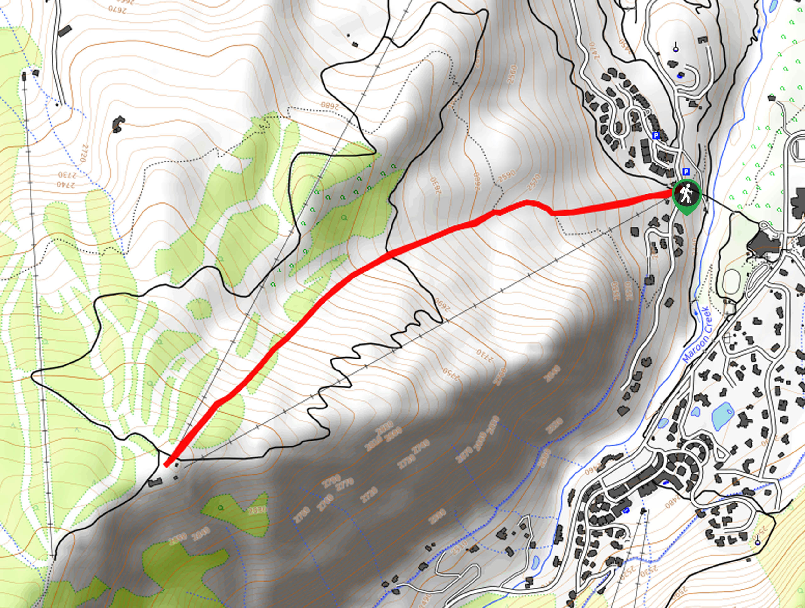
The Tiehack Trail departs from the trailhead off Meadow Lane in the Buttermilk Ski Resort.

About
| Backcountry Campground | No |
| When to do | May-October |
| Pets allowed | Yes - On Leash |
| Family friendly | Older Children only |
| Route Signage | Average |
| Crowd Levels | Low |
| Route Type | Out and back |
Tiehack Hike
Elevation Graph
Weather
Tiehack Hike Description
Demanding endurance, the Tiehack Hike is no easy feat—but the views from the top prove well worth the effort. Short and steep, this trek will give you an epic workout whilst exhibiting epic alpine views. Note: this adventure may prove to be more strenuous for those who are not yet acclimated to the area’s altitude, so we suggest taking it slow and packing plenty of water— more than you anticipate needing. Additionally, trekking poles may come in handy, especially along the descent.
Begin your journey along the Tiehack Hike from the parking lot off Meadow Lane. From here, track the Tiehack Trail west. Cloaked in snow and littered with skiers and snowboarders in the winter; a summer excursion here proves more secluded, as you hike up through the lush vegetation. Notice the Tiehack Express Chairlift above and ignore intersecting routes as you trek along the vertiginous terrain up Buttermilk Mountain.
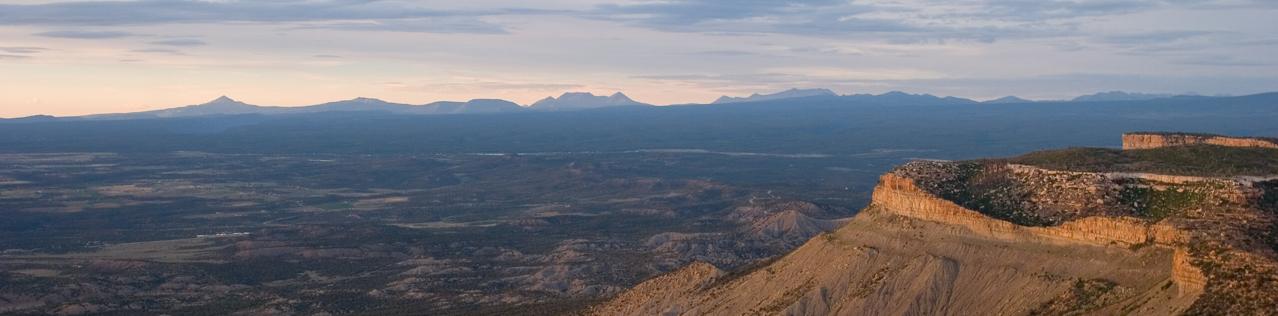
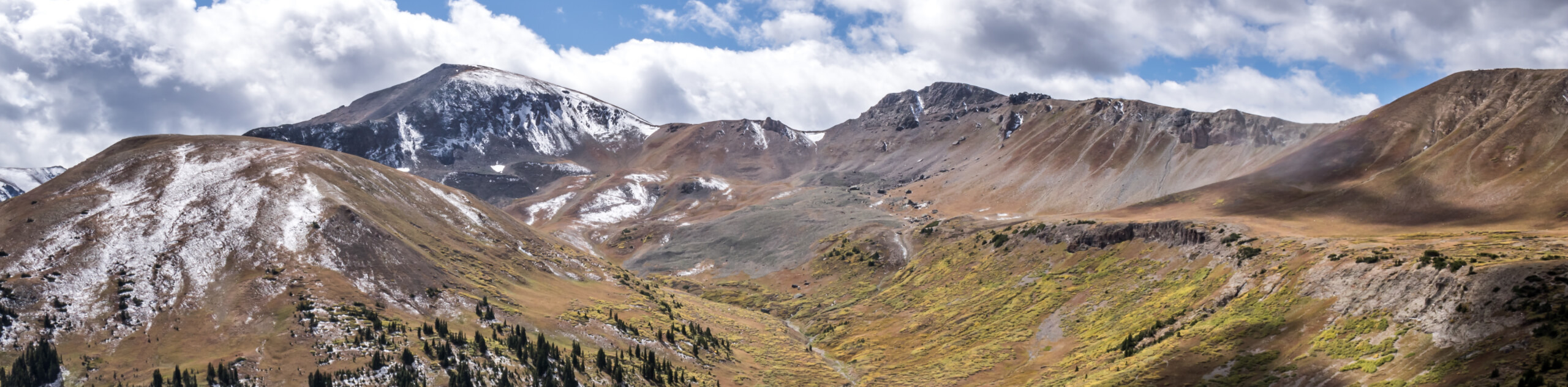
Soon the trail will guide you through a small pine forest before delivering you to the summit. From here you will be rewarded with dumbfounding views of the Elk Mountains and the Sawatch Mountain Range. Revel in the mountain vistas and notice the active city below and the Aspen Highlands Ski Resort in the east. Take a break, catch your breath, and when you are ready retrace your footing along the path back to the trailhead.
Similar hikes to the Tiehack Hike hike
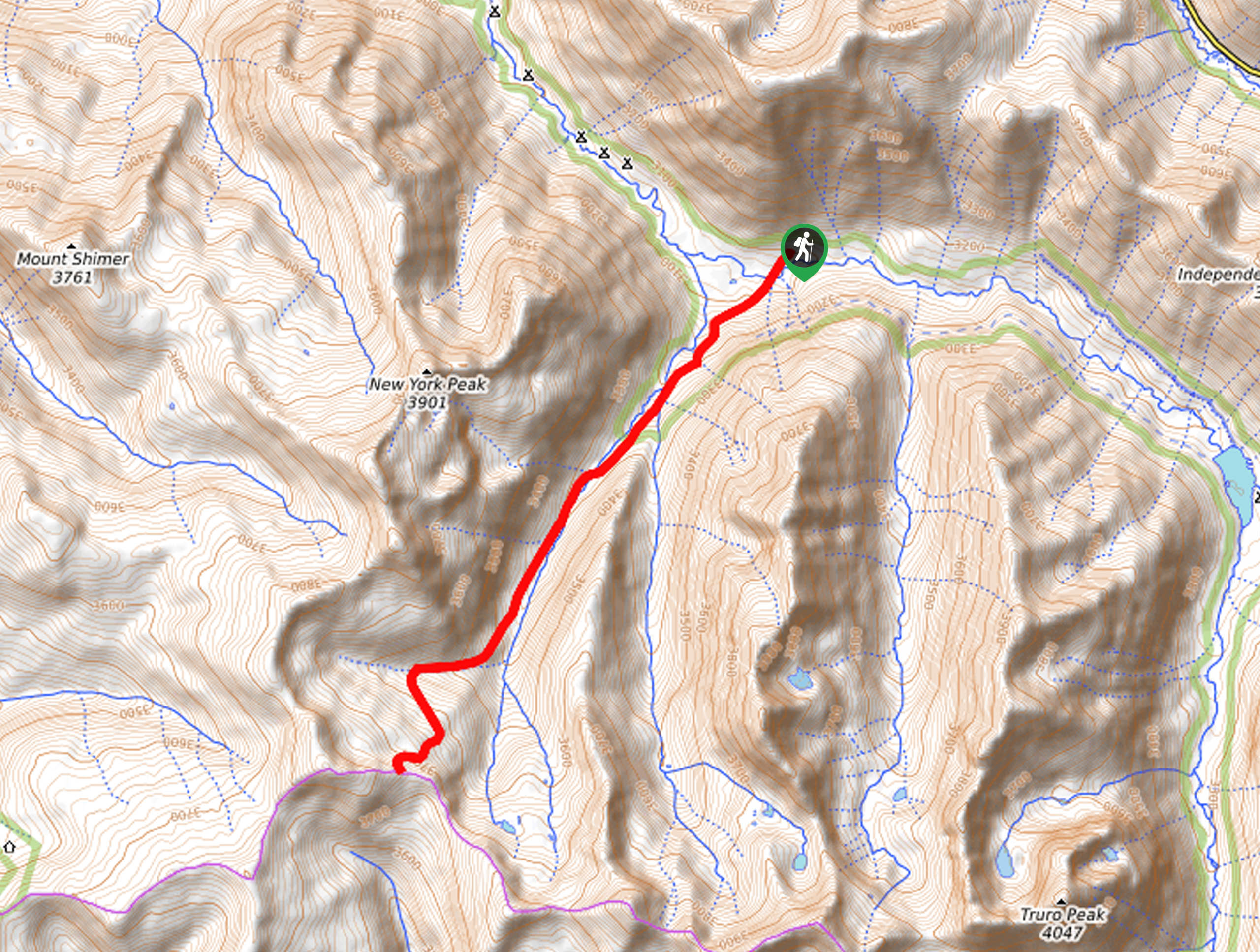
New York Creek Trail
The New York Creek Hike is a stunning adventure through Colorado’s high country. Featuring lush woodlands, expansive meadows, and mountain…
Montezuma Basin Trail
The Montezuma Basin Trail is an epic hike that attracts outdoor enthusiasts of all sorts. Hike, bike, or drive the…
Independence Pass Ridgeline Trail
The Independence Pass Ridgeline Trail is a stunning high-country expedition that exhibits sweeping mountain views. Delivering unbeatable panoramas from a…
Comments