Independence Pass Ridgeline Trail
View Photos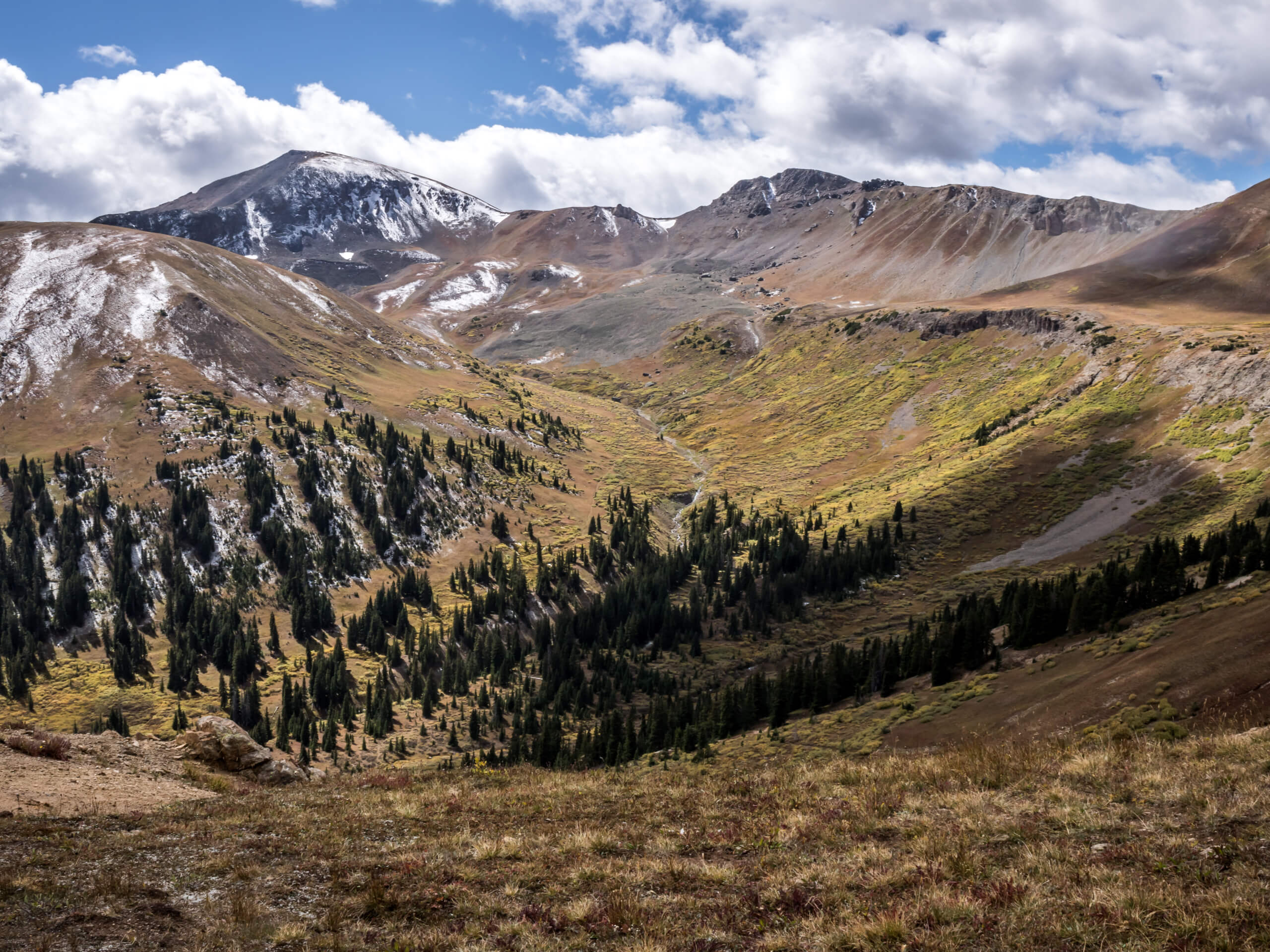
Independence Pass Ridgeline Trail
Difficulty Rating:
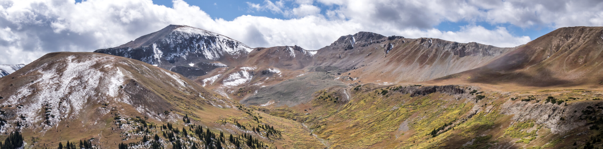
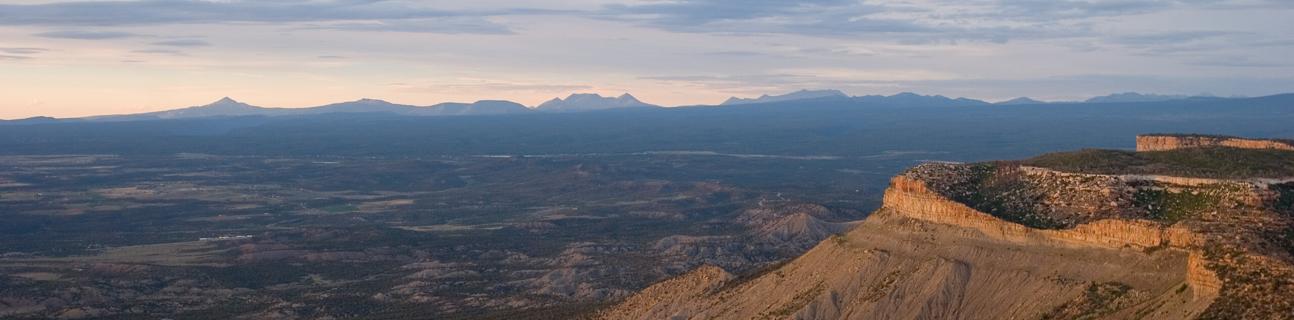
The Independence Pass Ridgeline Trail is a stunning high-country expedition that exhibits sweeping mountain views. Delivering unbeatable panoramas from a not-so-technical alpine hike, this amazing adventure is a must-add to your Colorado hiking itinerary.
Getting there
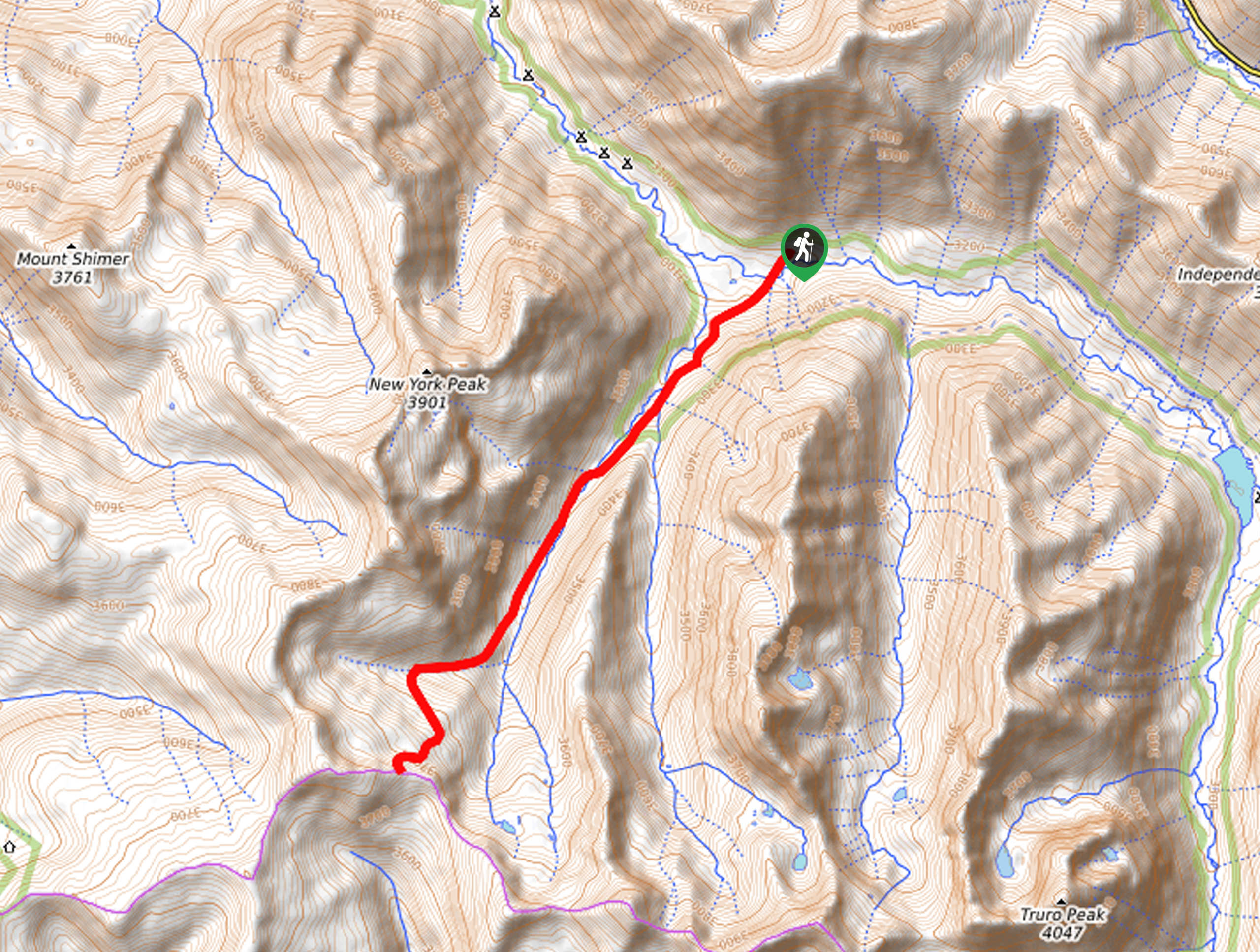
The Independence Pass Ridgeline Trail is accessed via the trailhead at the Independence Pass Continental Divide Lookout off State Highway 82.

About
| Backcountry Campground | No |
| When to do | April-October |
| Pets allowed | Yes - On Leash |
| Family friendly | Older Children only |
| Route Signage | Average |
| Crowd Levels | Moderate |
| Route Type | Out and back |
Independence Pass Ridgeline Trail
Elevation Graph
Weather
Independence Pass Ridgeline Trail Description
The Independence Pass Ridgeline Trail delivers unforgettable alpine views from a family-friendly trail. Note that the trail is located at a high altitude, so make sure you are acclimatized to the area’s elevation prior to your trek. Furthermore, the terrain is often snow-dusted and windy, so wear layers and consider bringing along snowshoes just in case! In the summer months, it is also important to be mindful of afternoon storms– check the forecast and keep an eye on the sky.
Embark on your adventure along the Independence Pass Ridgeline Trail from the Independence Pass and Continental Divide Lookout. From here, track the exposed trail southwest. Departing from the lookout, the path will gradually climb into the clouds. Revel in the sights of the neighboring snow-capped peaks that stretch for as far as the eye can see. Don’t forget to keep an eye out for marmots as you trek!
You will eventually meet the route’s end at an unofficial summit. From here you will be granted 360-degree panoramic views of the Colorado Rockies. Appreciate the grandeur of the mountainous wilderness and when you are done admiring the scenery, retrace your footing along the path back to the trailhead.
Similar hikes to the Independence Pass Ridgeline Trail hike
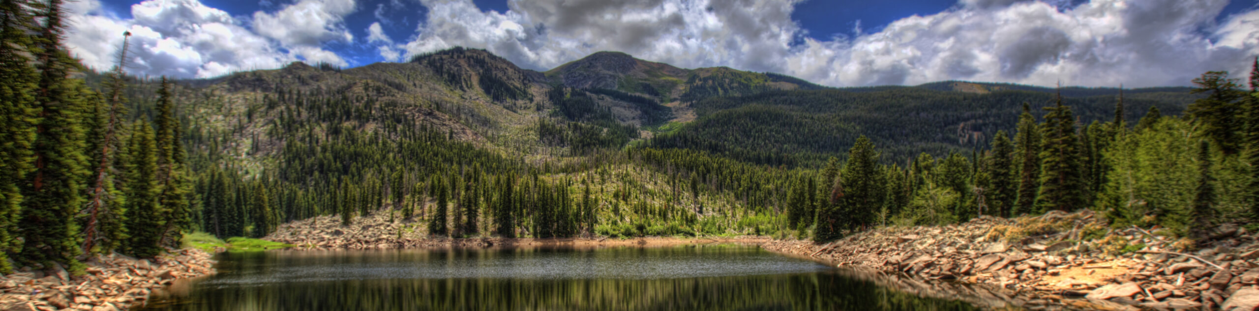
New York Creek Trail
The New York Creek Hike is a stunning adventure through Colorado’s high country. Featuring lush woodlands, expansive meadows, and mountain…
East of Aspen Trail
The East of Aspen Trail is a great escape into nature. Conveniently located near the city center, this trek is…
Montezuma Basin Trail
The Montezuma Basin Trail is an epic hike that attracts outdoor enthusiasts of all sorts. Hike, bike, or drive the…
Comments