
Sunnyside Trail
View Photos
Sunnyside Trail
Difficulty Rating:
The Sunnyside Trail is a challenging, but highly rewarding day-hike located just outside of Aspen’s city center. Conveniently located and incredibly scenic, this route is a crowd favorite. Escape the hustle and bustle of the city and reconnect with nature along this sunny path.
Getting there
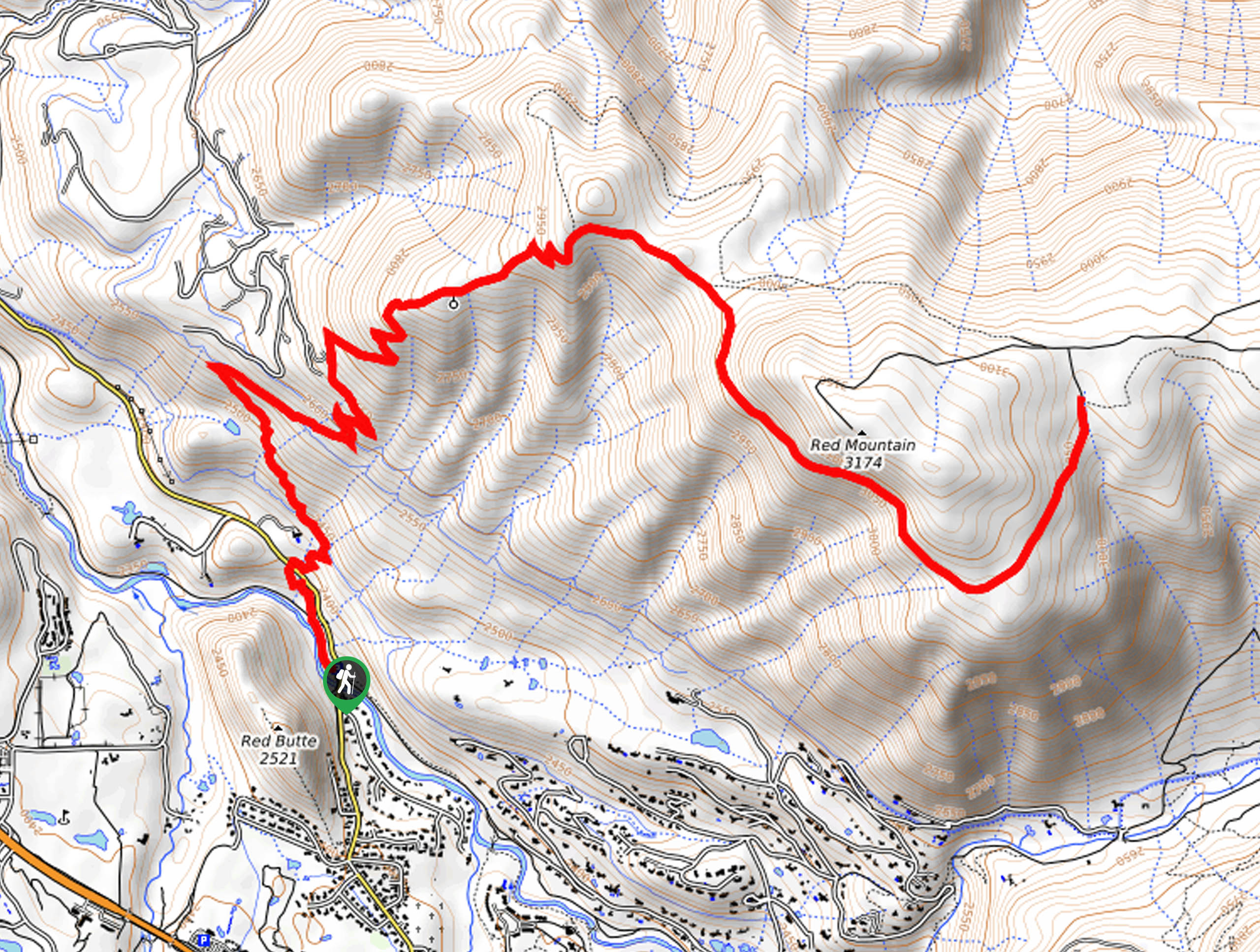
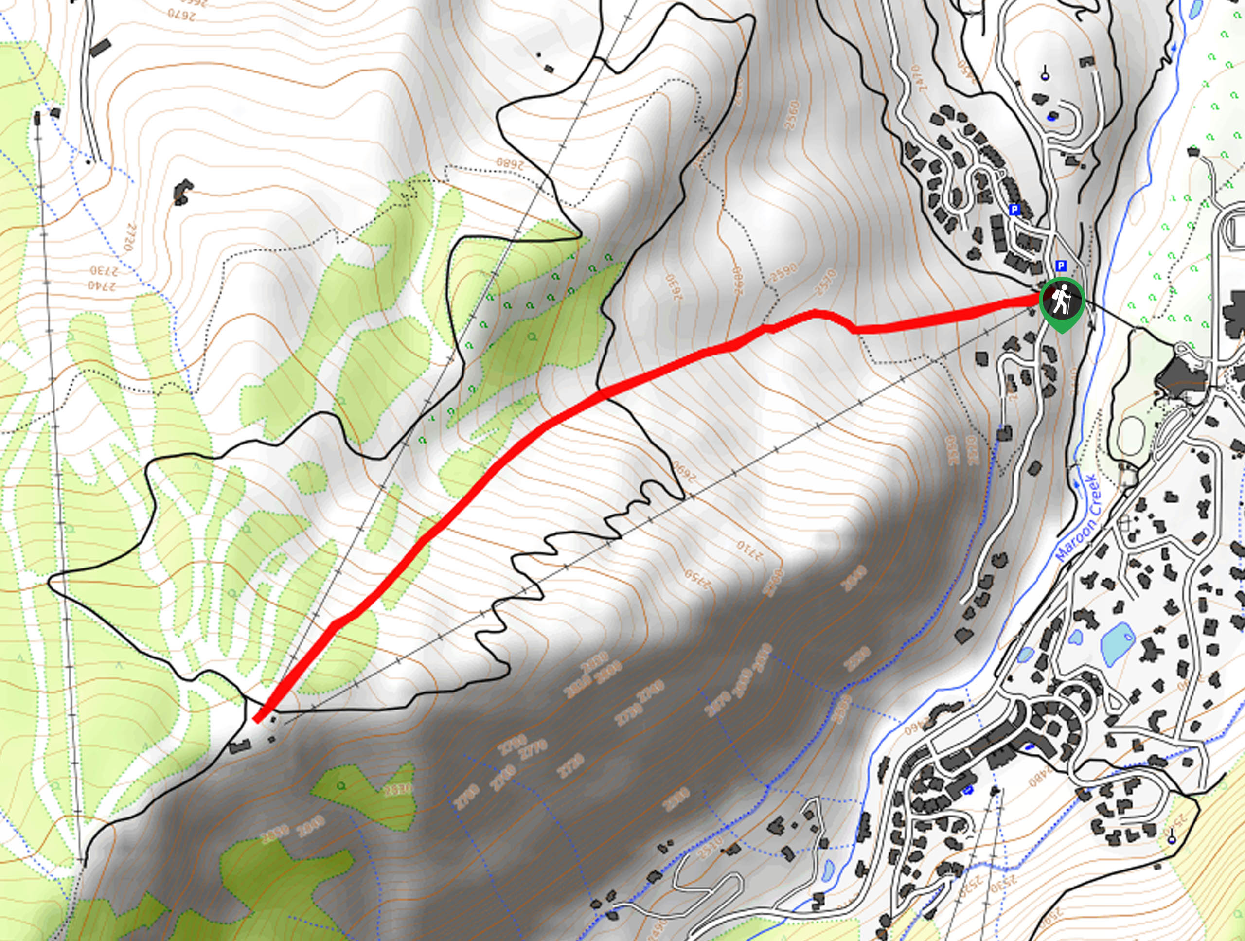
The Sunnyside Trail departs from the Rio Grande Trailhead off McLain Flats Road.

About
| Backcountry Campground | No |
| When to do | April-October |
| Pets allowed | Yes - On Leash |
| Family friendly | Older Children only |
| Route Signage | Average |
| Crowd Levels | Moderate |
| Route Type | Out and back |
Sunnyside Trail
Elevation Graph
Weather
Sunnyside Trail Description
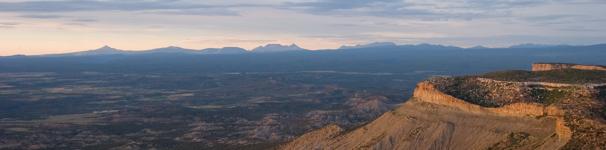
Enjoy sweeping vistas of the Elk Mountain Range and Aspen’s bustling ski resorts along the Sunnyside Trail. Like the name suggests, this trek is exposed to the sun, which makes for extremely warm conditions in the summer months. We suggest heading out in the early morning to beat the heat and the crowds! A great way to acclimatize to the area’s altitude, this trek does ascend in elevation. Be sure you pack plenty of water — way more than you anticipate needing. Trust us, the vertiginous terrain and exposed path will tire you!
Departing from the Rio Grande Trailhead, the Sunnyside Hike will briefly track the Rio Grande Trail before merging onto the Sunnyside Trail at the first intersection. Hikers will have to cross over McLain Flats Road before beginning the climb through the meadowlands. Ascend the vertigo-inducing terrain through several switchbacks up to the radio tower. From this point the terrain will be more level and shaded as it guides adventurers briefly along the edge of the woodlands.
From the southern slope of Red Mountain you will be rewarded with sweeping views of the mountainous landscape that stretches for as far as the eye can see. Soon you will meet the trail’s end. If you want some shade, consider trekking the Shadyside Trail before reconnecting with the Sunnyside Trail and heading back to the trailhead. If not, retrace your footing along the same path back to the parking lot.
Similar hikes to the Sunnyside Trail hike
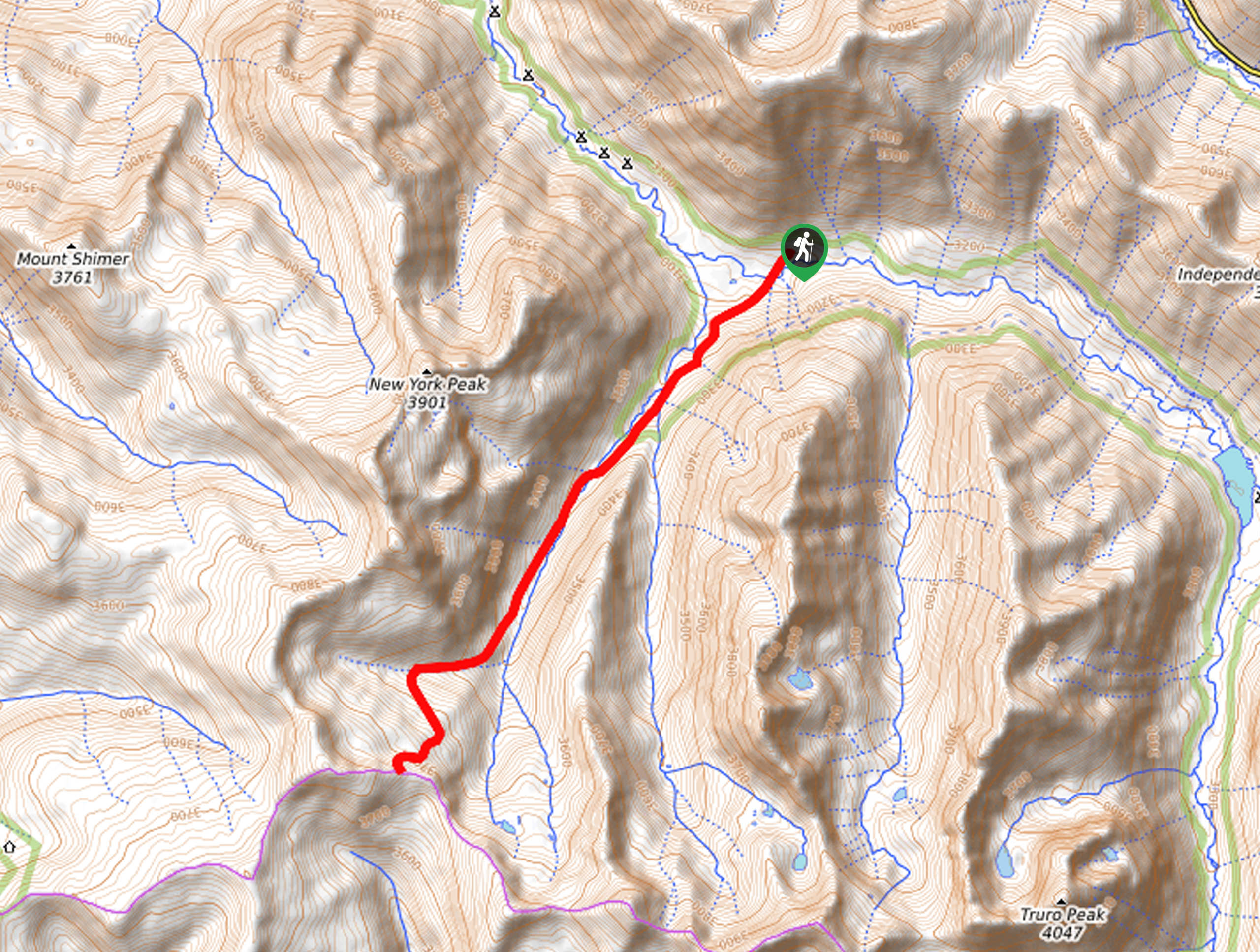
New York Creek Trail
The New York Creek Hike is a stunning adventure through Colorado’s high country. Featuring lush woodlands, expansive meadows, and mountain…
Montezuma Basin Trail
The Montezuma Basin Trail is an epic hike that attracts outdoor enthusiasts of all sorts. Hike, bike, or drive the…
Tiehack Hike
Seeking a killer workout? The Tiehack Hike is a butt-burner of a trek in the Buttermilk Ski Resort, a bustling…
Comments