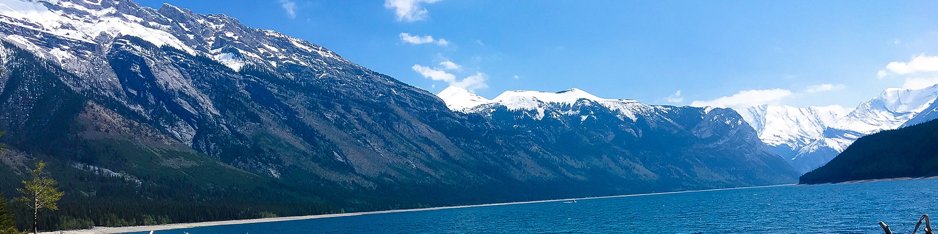
Lake Minnewanka backpacking trail
View Photos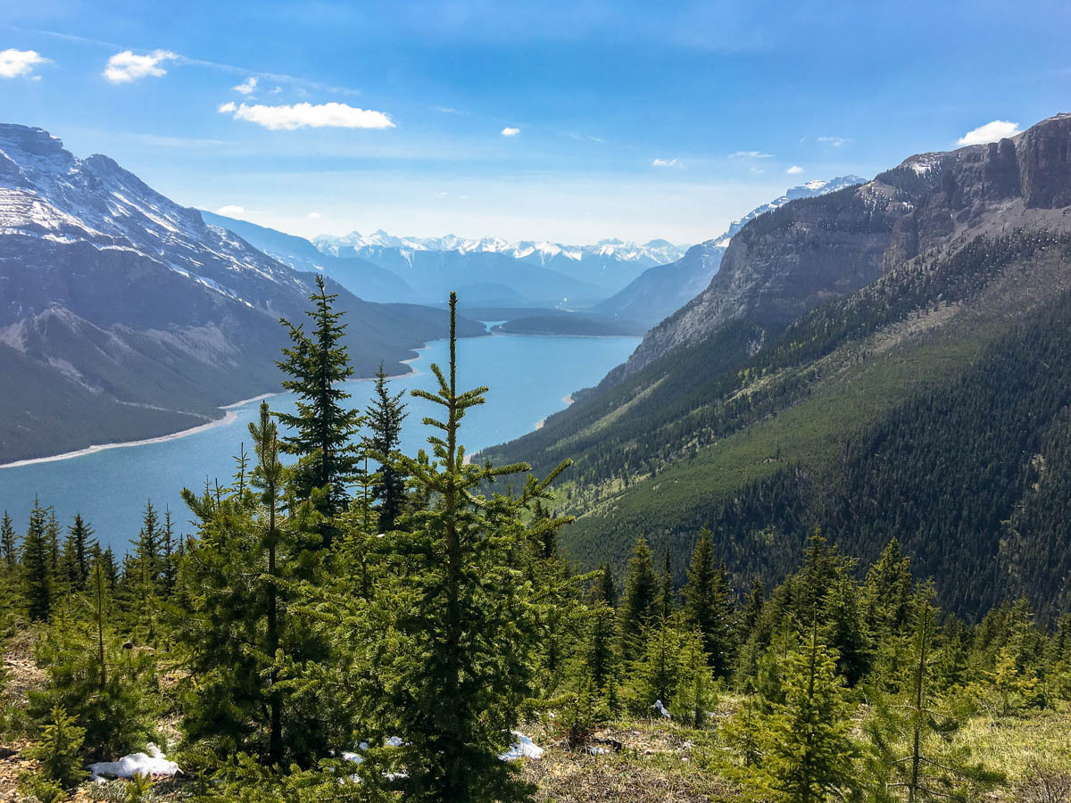
Lake Minnewanka backpacking trail
Difficulty Rating:
This is a Banff backpacking classic, a perfect trip to head out Friday after work and come back Sunday. Enjoy the stunning views over Lake Minnewanka while you stroll along the shore. If you plan on a 3-day trip, then head up to Aylmer Pass or Aylmer Lookout on the 2nd day before coming back on the 3rd day.
Getting there
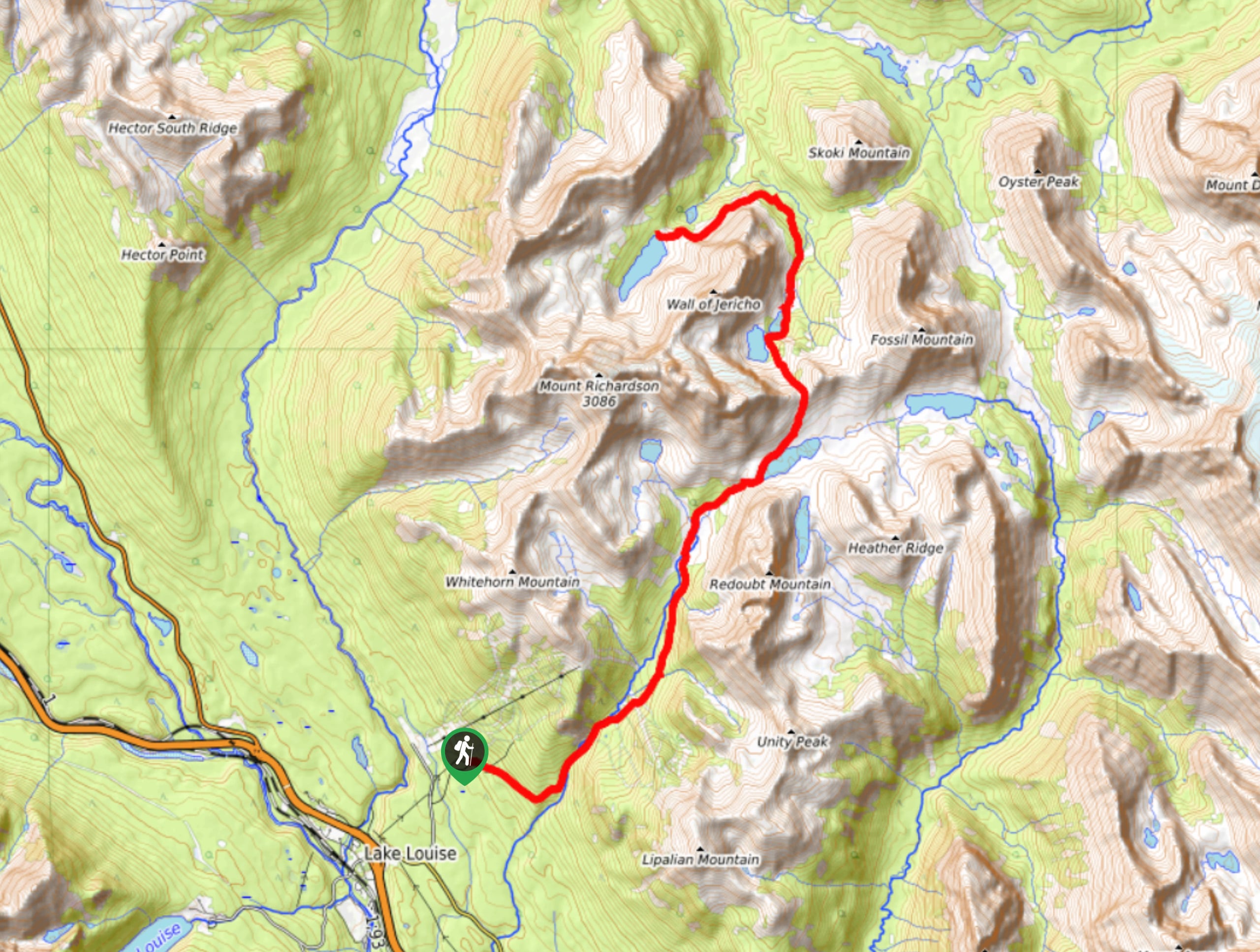
Drive to Lake Minnewanka, either from the Trans-Canada turnoff or take Banff Avenue North over the Trans-Canada Highway. Once on Lake Minnewanka Scenic Drive, head to the parking lot by the dam.

About
| Re-supply points | None |
| When to do | Mid June - September |
| Mountain Huts | No |
| Backcountry Campsites | Yes |
| Toilets | Trailhead |
| Pets allowed | No |
| Accommodation Type | Tent |
| Family friendly | No |
| Route Signage | Average |
| Crowd Levels | Moderate |
| Route Type | Out and back |
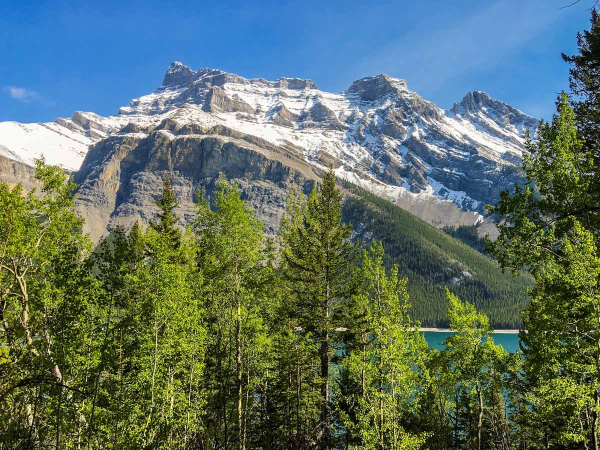
Lake Minnewanka
Elevation Graph
Weather
Route Description for Lake Minnewanka
This backpack goes through prime grizzly bear habitat, so make sure you meet the Parks Canada requirements for group size. As of 2018, from July 10 to September 15th you must hike / backpack in groups of 4 or more. Failure to do so means a fine of up to $25,000!
Day 1
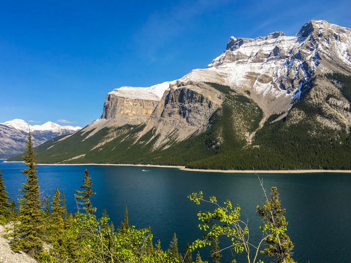
The backpack along the shores of Lake Minnewanka is a wonderful trip, perfect for novices who want to try something a bit more challenging. We like this trip as it offers the option of customizing the route distance depending on your fitness. The longer you go, the fewer people you will see.
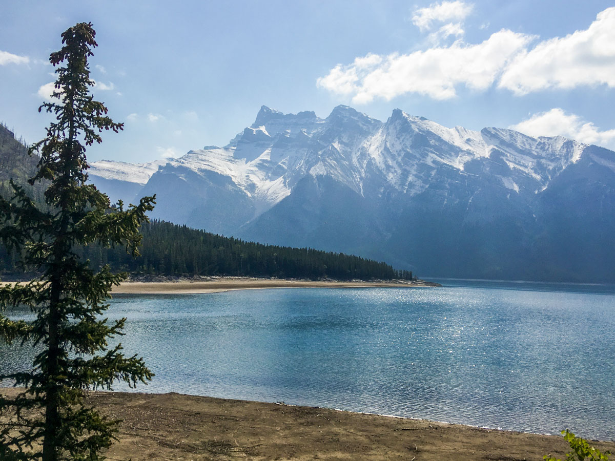
For this backpack, expect Lake Minnewanka to be on your right while you walk out and on your left on the way back.
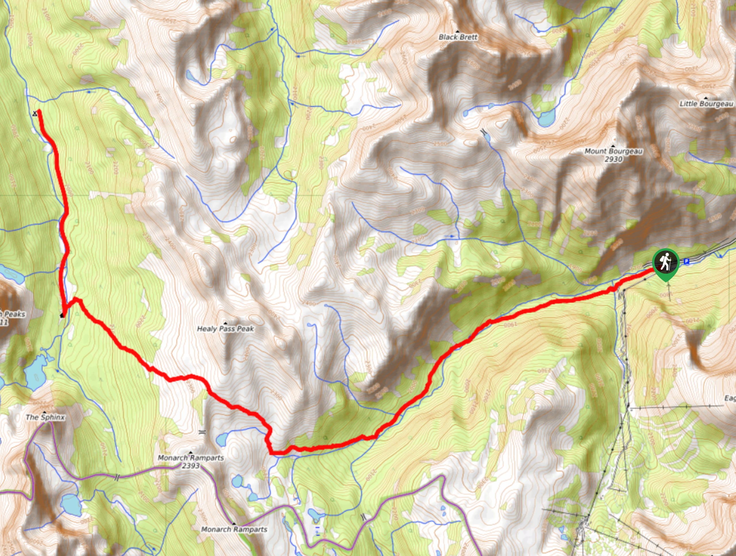
From the Lake Minnewanka parking lot, go in the direction of the lake and follow a road. There will be a few buildings on your left and Lake Minnewanka below on your right. You’ll pass above the boat launch for the Minnewanka River Cruises, a pretty way to spend the day.
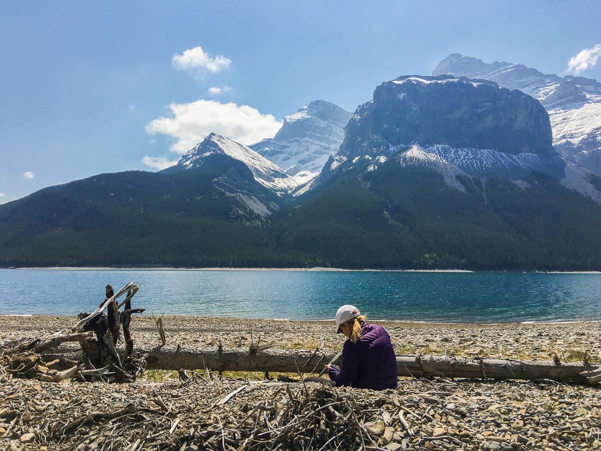
Continue on the road, as it becomes a path, passing several picnic areas. You can also scamper down to a man-made path closer to Lake Minnewanka, and there are some wonderful photo opportunities around here.
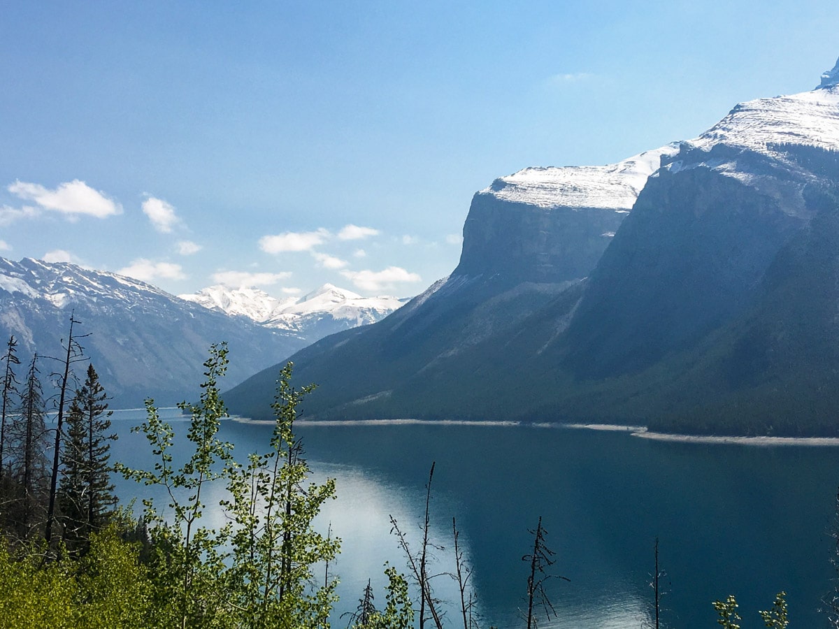
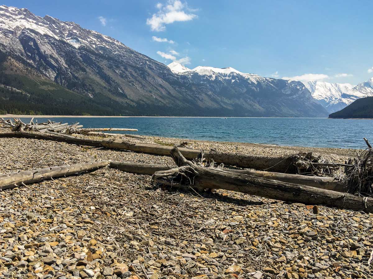
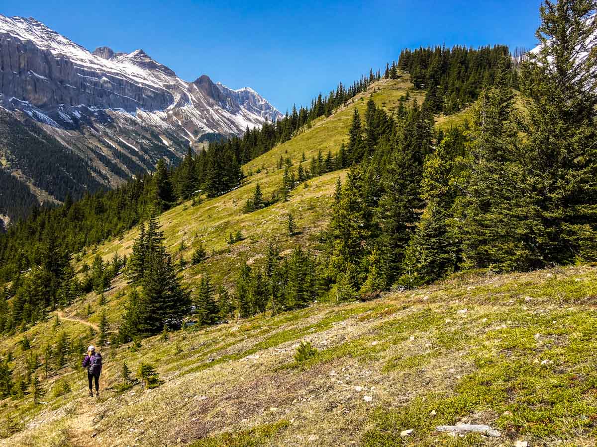
The path now continues to follow the scenic shoreline of Lake Minnewanka until you must cross over Stewart Canyon (1.0mi). After this bridge there is a path off to your left, up Stewart Canyon, however take the path that switchbacks up through the forest.
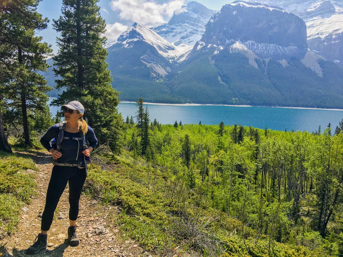
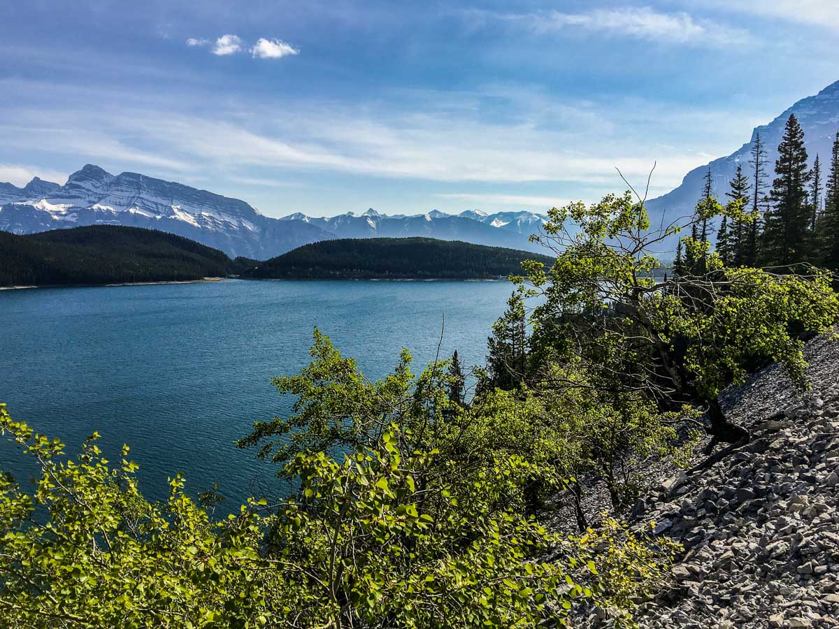
You continue on this path, eventually rounding the inlet from Stewart Canyon and coming back towards Lake Minnewanka, with lovely views out across the lake. Beware the steep drop off on your right at times.
Continue along the trail, crossing some basic bridges until you approach the Aylmer Pass Junction backcountry campground (LM8). We have historically stayed at this campsite, however it is now impacted by the seasonal closure for grizzlies from July 10 – September 15th, so you during that time you’ll have to stay at LM9 or LM11. You can reserve all of these sites on the Parks Canada website
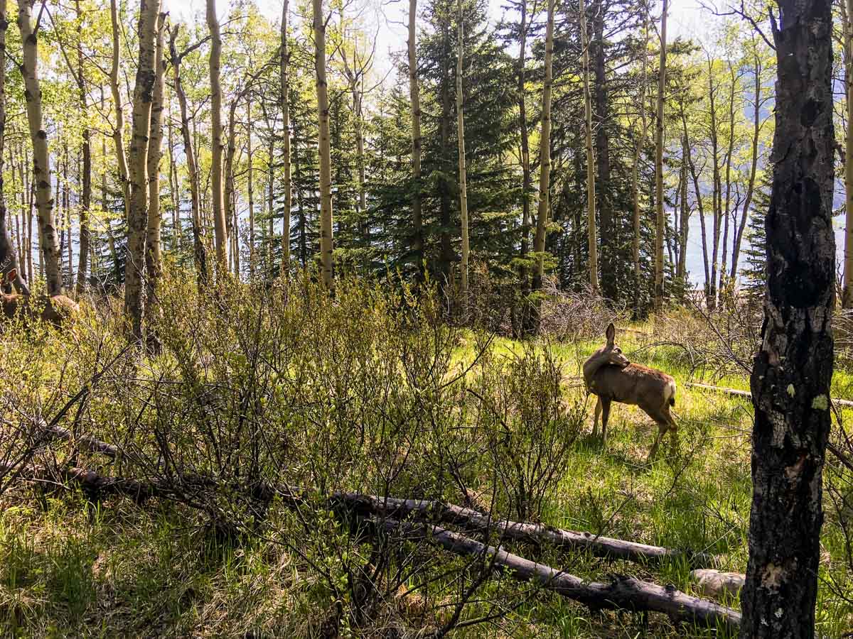
Aylmer Pass Junction backcountry campground (LM8) is roughly 5.5mi from the parking lot and has 10 sites with great views of Lake Minnewanka. Best of all, there’s a firepit here, so bring some wood and enjoy a wonderful evening of hot chocolate, wine and a campfire. There are frequent deer sightings here so beware of ticks as well.
If you are out between July 10 and September 15 you’ll need to stay at either Aylmer Canyon (LM9 – 0.6mi away) or Mount Inglismaldie Campground (LM11 – 1.9mi away). Aylmer Canyon (LM9) has 5 sites, unobstructed views of Mount Inglismaldie and a firepit with a pretty epic view! Mount Inglismaldie (LM11) has 5 sites, epic views and also has a firepit. Both are great. LM9 would be our choice as it’s closer to the junction for Aylmer Pass and Aylmer Lookout.
Day 2
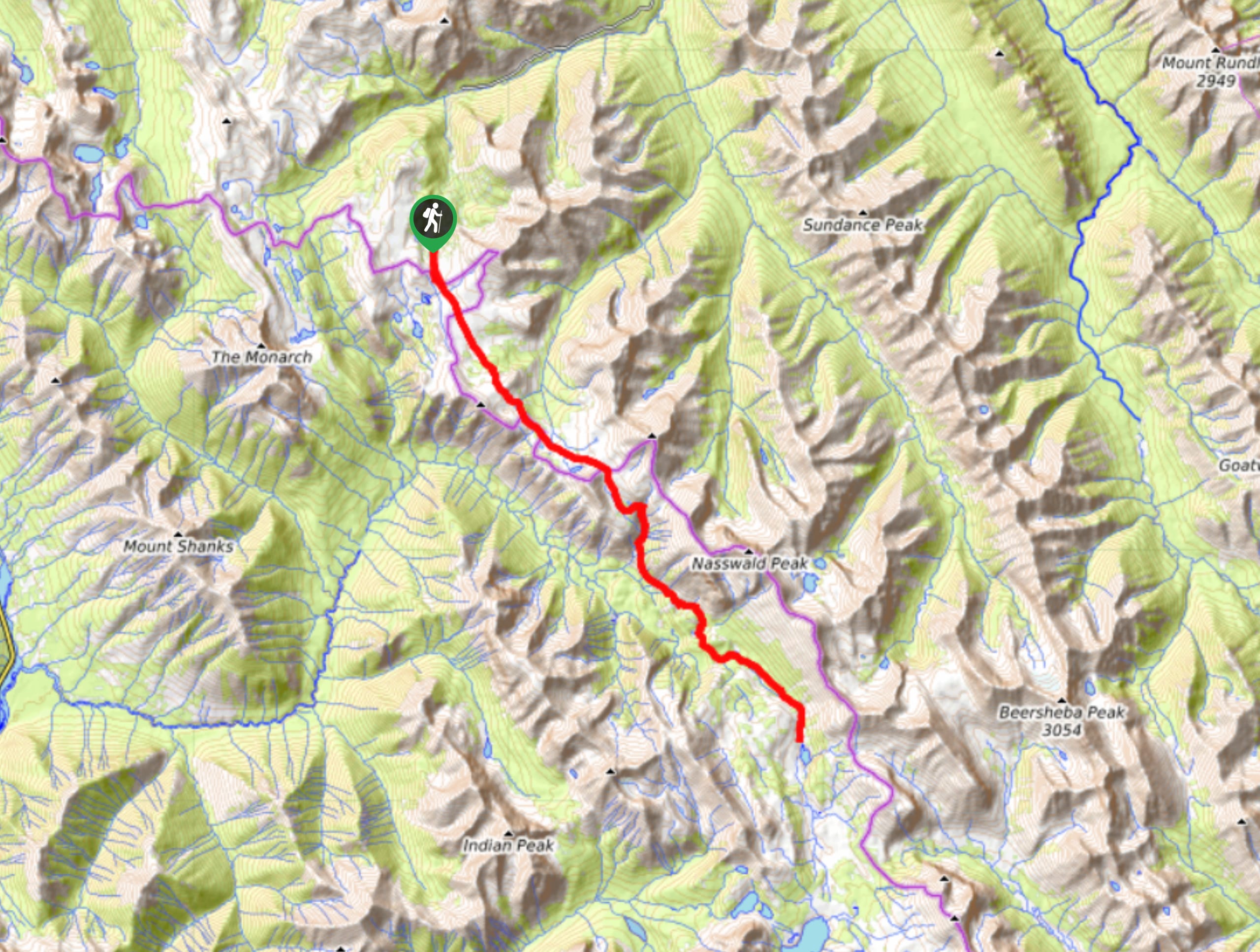
We like to use the middle day to head up to Aylmer Lookout and/or Aylmer Pass. If you’re feeling strong you can try and do both in one day.
This is prime grizzly habitat, and you must travel in groups of 4 as you head up the Aylmer Valley.
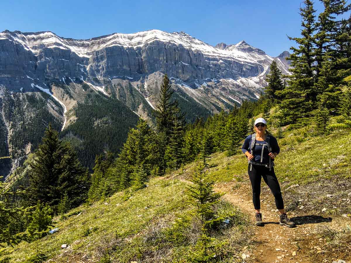
To get to these wonderful hikes, walk back along the main path to LM8 campground and go right at the junction, heading uphill. Your first stage of the hike is to the junction where the trail splits, left goes to Aylmer Pass and right to Aylmer Lookout. This first section is roughly 1.4mi and you gain 1266ft.
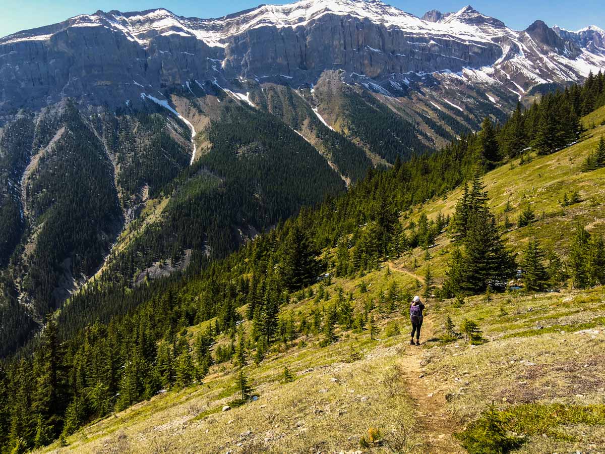
Our map shows the trip to Aylmer Lookout, to head there go right at the junction and go through the forest some more as it rises quickly. You won’t see the lookout until you’re almost there. This stage of the hike takes 1.0mi each way, with another 656ft of gain. You’ll want to take a break here and enjoy the views. From the lookout, there are exceptional views across to Mt. Inglismaldie, Mt. Girouard as well as down Lake Minnewanka.
Beware of ticks, as this is a common place to pick them up. Just over the summit of the lookout are the foundations of the original fire lookout.
On the way back down, retrace your steps on the gentle route back to the junction. If you’re feeling strong you can turn right at the junction, heading out to Aylmer Pass. Left takes you back to LM8 and the lakeshore. The route to Aylmer Pass is 1.9mi with 1312ft of elevation gain, and the views are stunning. Few people make it to the Pass, so you may have it entirely to yourself.
Head back towards Minnewanka and back to your campsite. If you did Aylmer Lookout and Aylmer Pass you’ve done a big day of 8.7mi with 3232ft of elevation gain, plus whatever distance to and from your campsite.
Day 3
Pack up your tent, make sure you haven’t left any garbage and haul it all back to the Lake Minnewanka trailhead. Head into Banff for a celebratory beer, you’ve had a great backpacking trip!
Sample Itinerary:
Day 1: Lake Minnewanka Parking Lot to Aylmer Canyon (LM9) campground (5.9mi, 623ft)
Day 2: Hike to Aylmer Lookout (7.5mi, 1837ft). Add another 4.0mi and 1312ft of elevation gain to also hit Aylmer Pass on the day.
Day 3: Hike back the way you came (5.9mi, 623ft)
Insider Hints
This is a great early-season hike as it’s relatively flat and on the valley floor. Sometimes you can do it as early as May, though we usually go in June.
Consider bringing some firewood as there are firepits in the backcountry campgrounds.
Watch out for bears and bring bear spray, there are lots of berries on this hike! There is also a seasonal restriction requiring you to be in groups of 4.

Similar backpacking trails to the Lake Minnewanka backpacking trail
Pharaoh Creek Backpacking Trail
The Pharaoh Creek backpacking trail follows the same route that many take to reach Egypt Lake and it’s cascading counterparts.…
Og Lake Backpacking Trail
The Og Lake backpacking trail is a great option for those who can’t make a reservation at the busy Lake…
Merlin Lake Backpacking Trail
The backpacking route to the Merlin Lake Trail follows the main Skoki route and covers all the popular landmarks in…
FellWalker 4 years ago
This lake is so beautiful! Honestly, a must see.
Tomcote 5 years ago
Cool place! We did see a man bear and a cub, deer and lots of squirrels on the way to the lake.
Max Oxwell 5 years ago
Really gorgeous! We got up early, to get a good spot in the parking and hopefully catch a glimpse of the sunrise on the way to the lake. It was a success!
Kristian Valtierie 5 years ago
The lake was not as mesmerizing nor as calm as other lakes we've seen before, but the beautiful background made it perfect!
Michael M. 5 years ago
I didn't get to spend much time taking pictures because I left my phone in the car and only remembered it when I reached the lake, and I somehow regret it.
Rocco Ellysia 5 years ago
This is a wonderful hike, but I think it would be better to go during the warmer seasons like spring or summer.
Joshua Zagreb 5 years ago
The trail was not flat, there were some steep drops that you need to pay attention to!
Sally Worchuck 5 years ago
Lovely hike, lovely wilderness area, I really felt safe here. Although I was prepared.
Lisa B 5 years ago
Backpacking trip at lake Minnewanka is a great way to start the season!
Gordie 5 years ago
Backpacking along Lake Minnewanka is great.