Og Lake Backpacking Trail
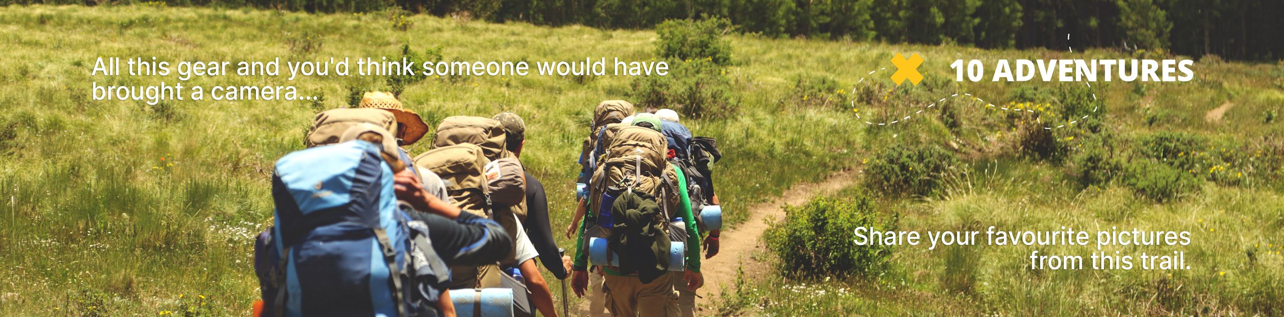
View Photos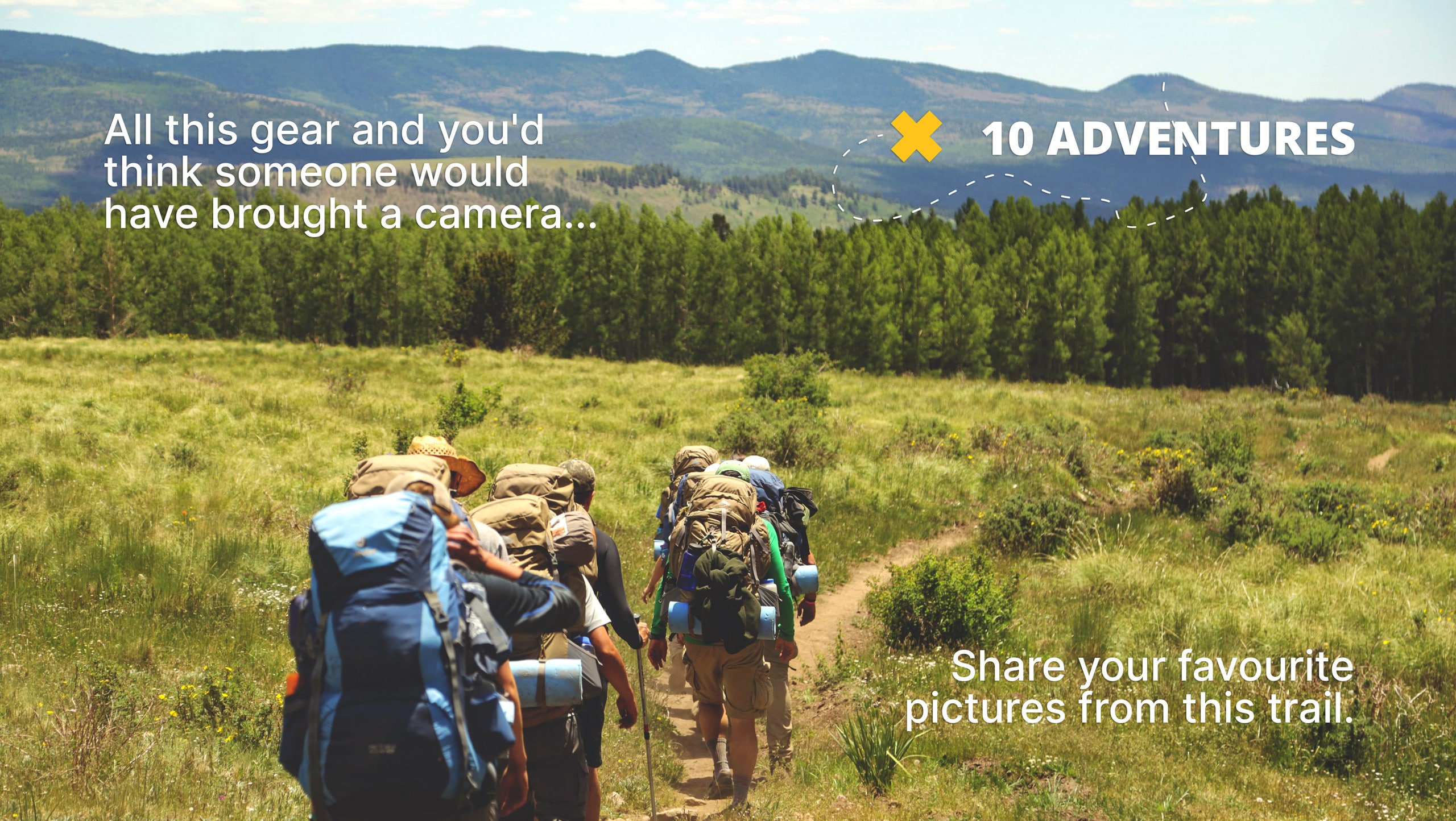
Og Lake Backpacking Trail
Difficulty Rating:
The Og Lake backpacking trail is a great option for those who can’t make a reservation at the busy Lake Magog campsite. The long journey to Og Lake is worth it. You will be rewarded with jaw-dropping views of Mount Assiniboine and extensive day hiking options. Consider this destination a gem of the Rockies.
Getting there
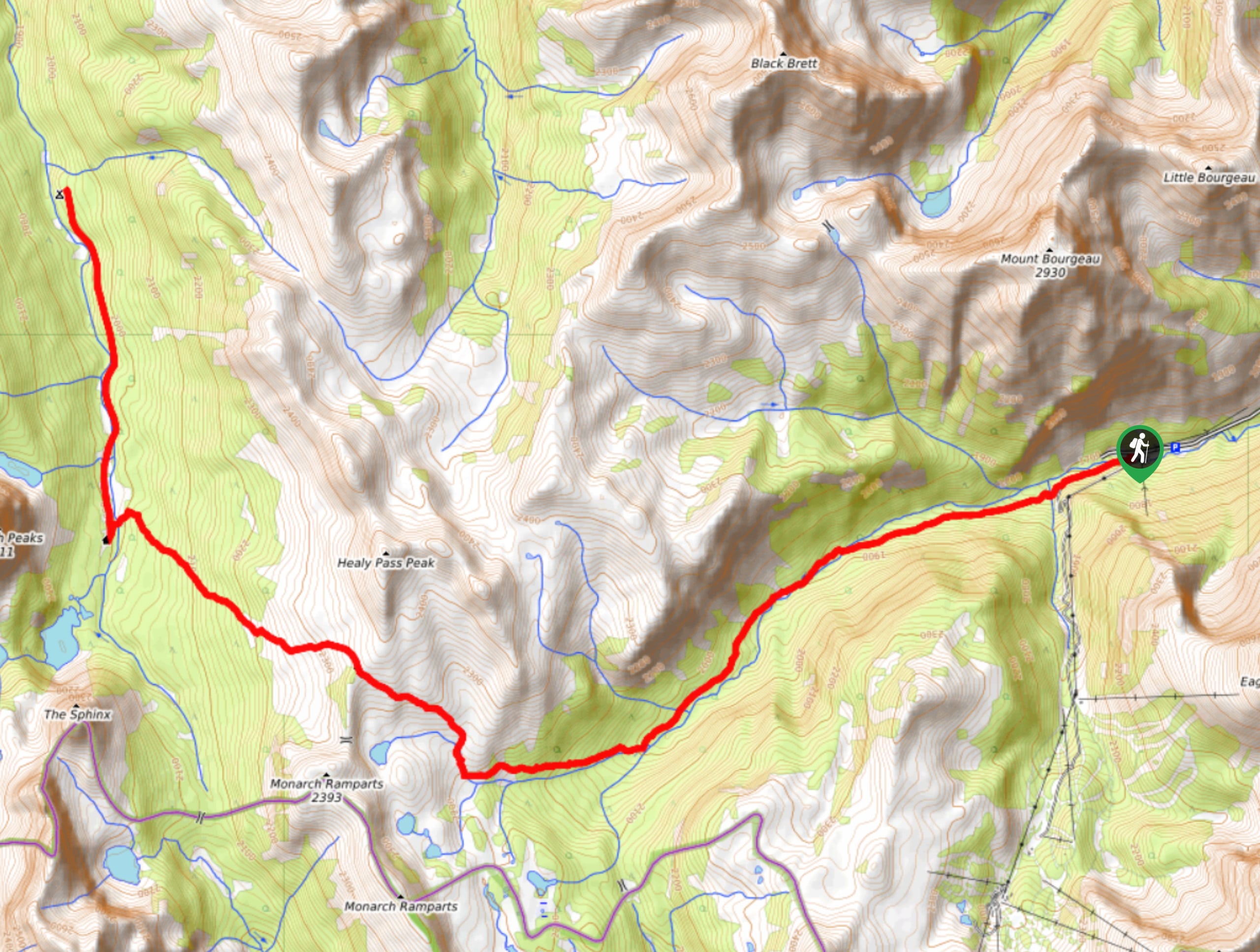
To get to the Og Lake backpacking trail, start in the Town of Banff and take the Trans-Canada Highway westbound. Take the exit for Sunshine Village and cross over the highway before driving up the access road. Park in the main parking lot. The trail starts at the upper gondola station, so you may choose to pay for the summer bus or gondola ride, or save some money and add some distance by walking up the dirt road.

About
| When to do | June-September |
| Backcountry Campsites | Og Lake |
| Pets allowed | Yes - On Leash |
| Family friendly | Older Children only |
| Route Signage | Average |
| Crowd Levels | High |
| Route Type | Out and back |
Og Lake Backpacking Trail
Elevation Graph
Weather
Og Lake Backpacking Trail Description
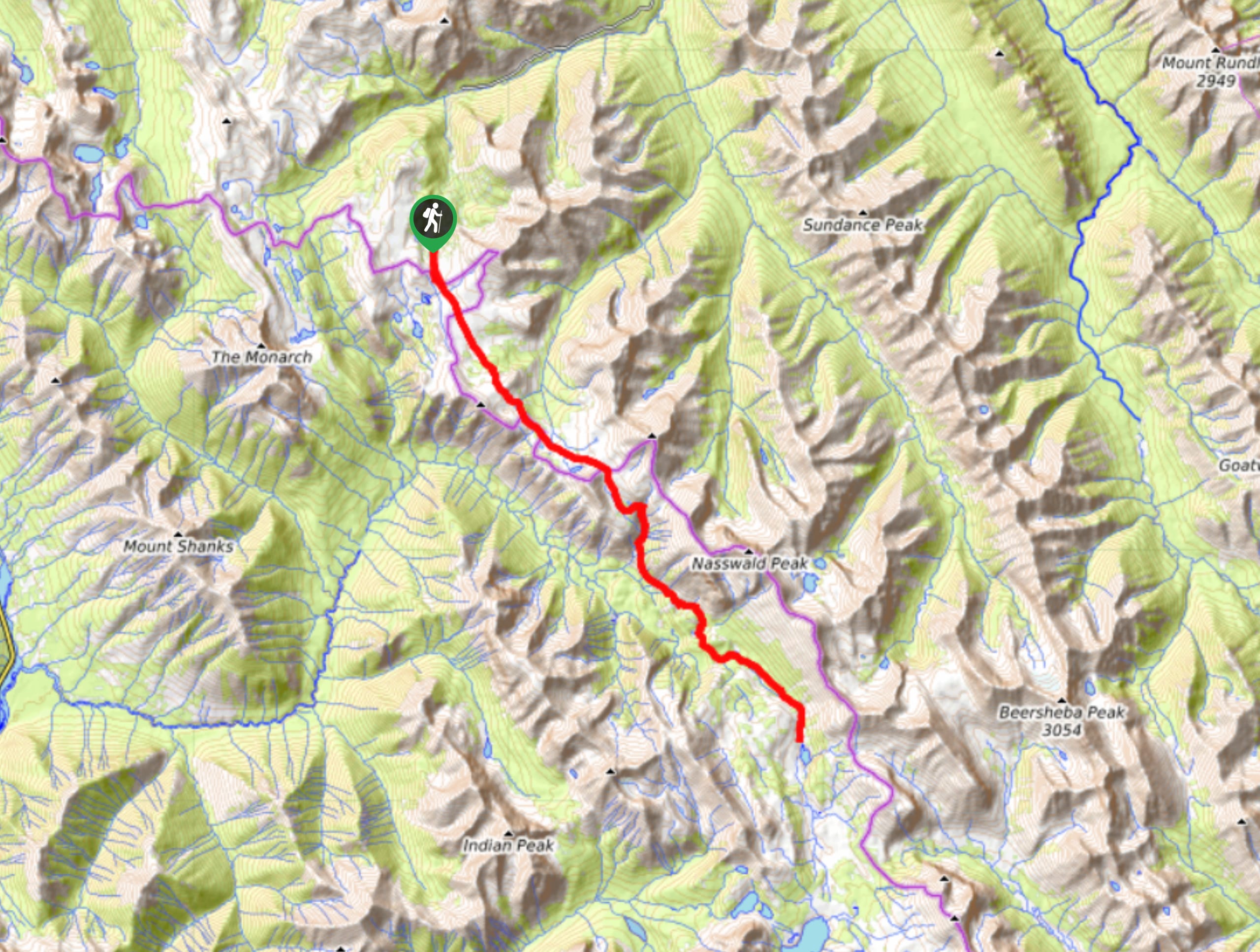
The backpacking trail to Og Lake boasts varying terrain and magnificent scenery. It begins at the gondola station at Sunshine Village Ski Resort. This trail system is maintained and operated by the ski resort yet still overseen by Parks Canada. There are some detours here to other viewpoints to be aware of.
Starting at the gondola station, take the trail towards the Standish Lookout. Hike up the slope and enjoy views of Rock Isle Lake as they come into view. Follow Parks Canada signs leading to Mount Assiniboine, and if it is a clear day, you will be able to see the Matterhorn-esque peak off in the distance.
Leave Sunshine Meadows and hike towards Howard Douglas Lake, where you will find a campground. Stay on the main trail and begin your mild ascent of Citadel Pass, where you will cross into British Columbia and Mount Assiniboine Provincial Park. After Citadel Pass, you will skirt around the mountain to find a junction leading down to Porcupine Campground. Descend a slope before finding yourself in a boulder field. This will open up to views of Mount Assiniboine and Og Lake in the distance. The trail will lead you directly to the campground.
Many day hiking options exist in the Mount Assiniboine area, so bring a map to explore the area. Some hikers book multiple days to ensure they can spend plenty of time on the magnificent trails around Mount Assiniboine.
Similar backpacking trails to the Og Lake Backpacking Trail backpacking trail
Pharaoh Creek Backpacking Trail
The Pharaoh Creek backpacking trail follows the same route that many take to reach Egypt Lake and it’s cascading counterparts.…
Merlin Lake Backpacking Trail
The backpacking route to the Merlin Lake Trail follows the main Skoki route and covers all the popular landmarks in…
Elk Lake Backpacking Trail
The Elk Lake Trail begins at a popular trailhead for Cascade Mountain Scramble and the Cascade Amphitheatre Hike. It might…
Comments