


Eagle Hill Trail
View PhotosEagle Hill Trail
Difficulty Rating:
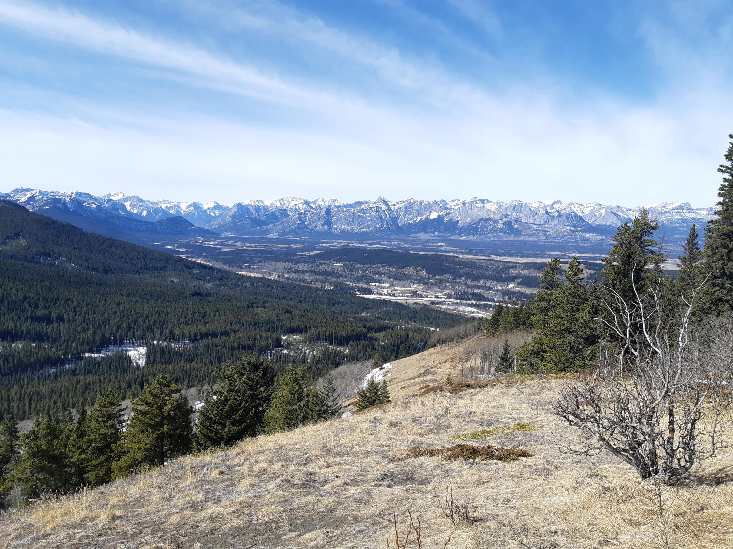
The Eagle Hill trail climbs the foothills of Kananaskis Country to reach a ridge that looks out into the Prairies. It is an easy-to-follow, gradual trail that is the perfect day trip from Sibbald Lake Campground. There are no technical sections on this trail, making it excellent for hikers of various abilities.
Getting there
To get to the Eagle Hill Trailhead from the Trans Canada Highway, take Highway 40 southbound 3.9mi before turning left onto AB-68 and follow this for 9.3mi before turning into Sibbald Lake Campground. Park at the day-use area.
About
| When to do | May-September |
| Backcountry Campsites | No |
| Pets allowed | Yes - On Leash |
| Family friendly | Older Children only |
| Route Signage | Average |
| Crowd Levels | Low |
| Route Type | Out and back |
Eagle Hill Trail
Elevation Graph
Weather
Eagle Ridge Trail Description
The Eagle Hill Trail is easy to follow and begins with a large trail sign. There are some makeshift trail signs and flagging tape along the route, however, you shouldn’t have a hard time finding the trail. From the day-use area, walk south from Sibbald Lake, and find Eagle Hill trail. The route gains elevation very gradually and passes many junctions in the first 1.9mi. After passing all the junctions, the route gains the ridge to the lookout point before turning back for the descent.
Similar hikes to the Eagle Hill Trail hike
Gorge Creek Loop
Hiking the Gorge Creek Loop requires some route knowledge and a bit of extra effort as it is not as…
Powderface Creek Trail
The Powderface Creek trail in Kananaskis is a popular hiking, biking, and horseback trail, so be aware of traffic when…
Barwell Trail
Hiking the Mount Barwell Trail is a half to full day effort that is very rewarding. With minimal crowds and…


Giedre 4 years ago
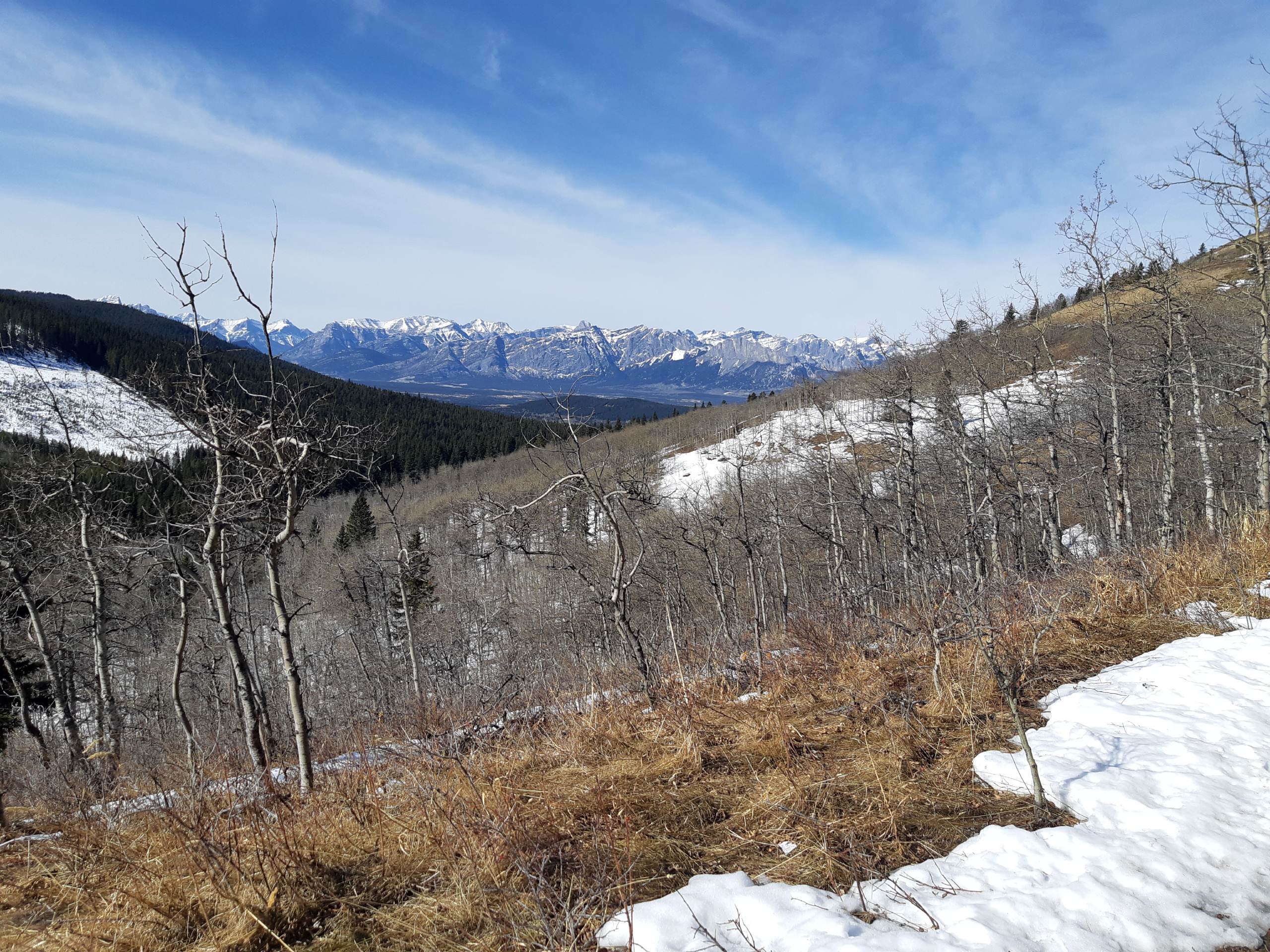
Hiked there in April and had a great time. Well defined low-effort trail with pleasant views