

Prairie View Trail
View PhotosPrairie View Trail
Difficulty Rating:
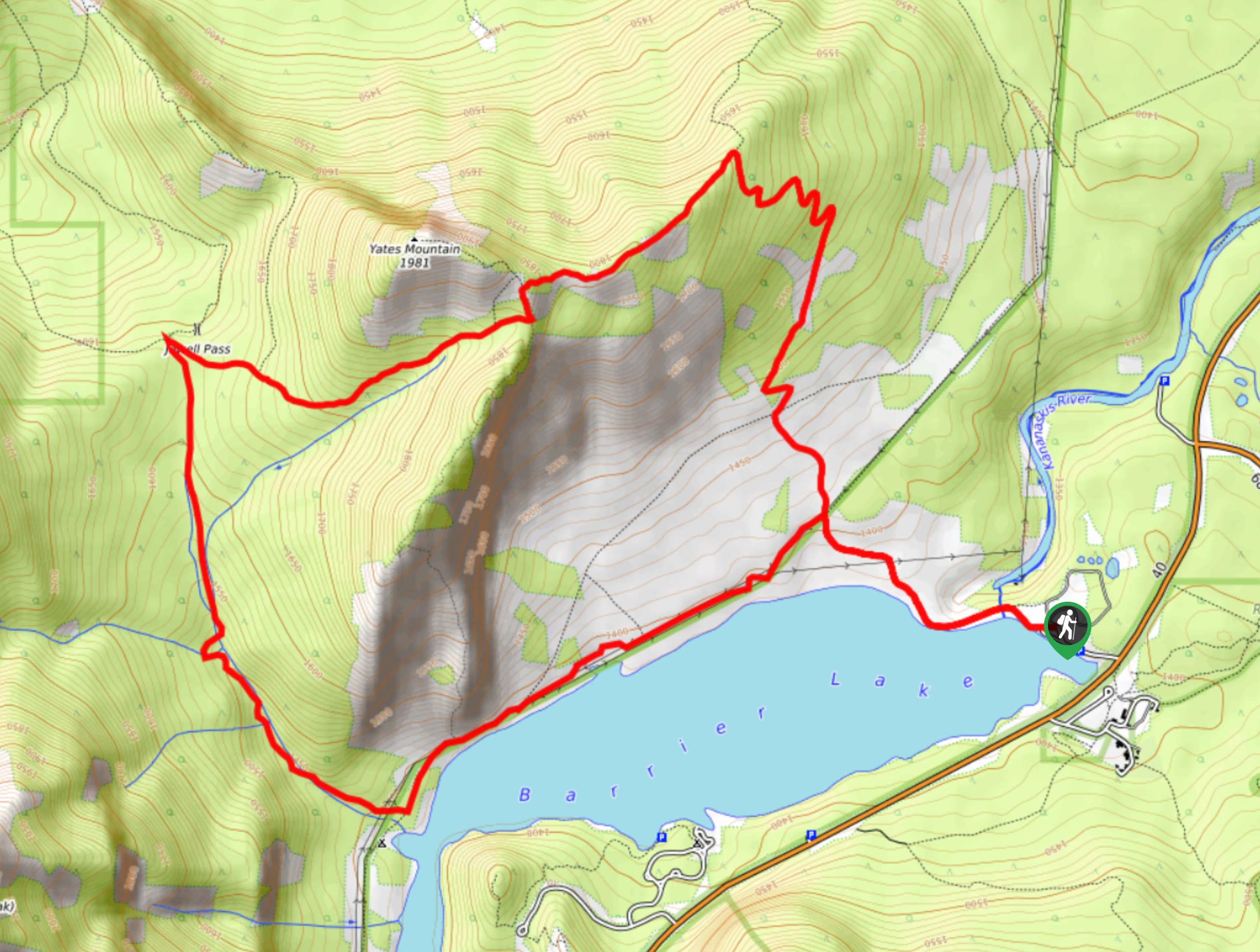
Prairie View is a must-do in the Barrier Lake and Highway 40 area. It is a moderate trail that is easy to follow and offers incredible views. The prairie view is like no other and is the perfect place to get your photos taken. The trail is made up of easy switchbacks that lead to an incredibly rewarding summit. There are options to continue on with a scramble to the summit of Yates Mountain.
Getting there
From the junction with the Trans Canada Highway and Highway 40, take Highway 40 for 7.5mi and turn right into the Barrier Lake day use area. Park here and begin your hike at the trail sign.
About
| When to do | April-October |
| Backcountry Campsites | No |
| Pets allowed | Yes - On Leash |
| Family friendly | Older Children only |
| Route Signage | Average |
| Crowd Levels | Extreme |
| Route Type | Out and back |
Prairie View Trail
Elevation Graph
Weather
Prairie View Trail Description
Prairie View is an extremely rewarding hike for the type of trail it is. The trail follows switchbacks up to an incredible viewpoint that allows you to look out over Barrier Lake and the Rockies on one side, and the foothills and prairies on the other.
Starting from the parking area, take the trail to the north towards the damn. Cross the damn and make your way up a gravel slope staying on the main trail. You’ll come to a junction with Stoney Trail after 1km and continue straight. In 1969ft, you will come to a signed junction where you will follow signs for Prairie View and Yates Mountain.
From the junction, follow the decommissioned fire road for 1km before meeting the switchbacks. These are wide and easy to follow. After nine switchbacks, you will trend left for 0.6mi before reaching the final stage to the viewpoint. Make your way up the large rocks to find yourself at the main viewpoint. This is an amazing spot to break for lunch and photos before returning the way you came.
Find other amazing hikes in Kananaskis Country
- Kananaskis – Smith Dorrien Trail: Chester Lake, Tent Ridge, Burstall Pass, West Wind Pass and Rummel Lake.
- Bragg Creek and Sheep River Provincial Park: Prairie Mountain, Powderface Ridge, Nihahi Ridge and ForgetMeNot Ridge.
- Kananaskis Trail: Troll Falls, Rawson Lake, Wasootch Ridge, Sarrail Ridge and Pocaterra Ridge.
Similar hikes to the Prairie View Trail hike
Gorge Creek Loop
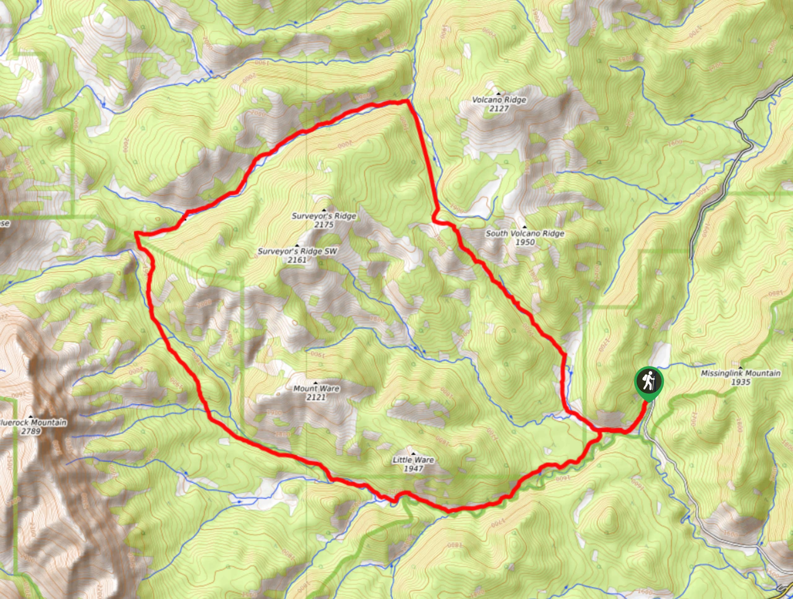
Hiking the Gorge Creek Loop requires some route knowledge and a bit of extra effort as it is not as…
Powderface Creek Trail
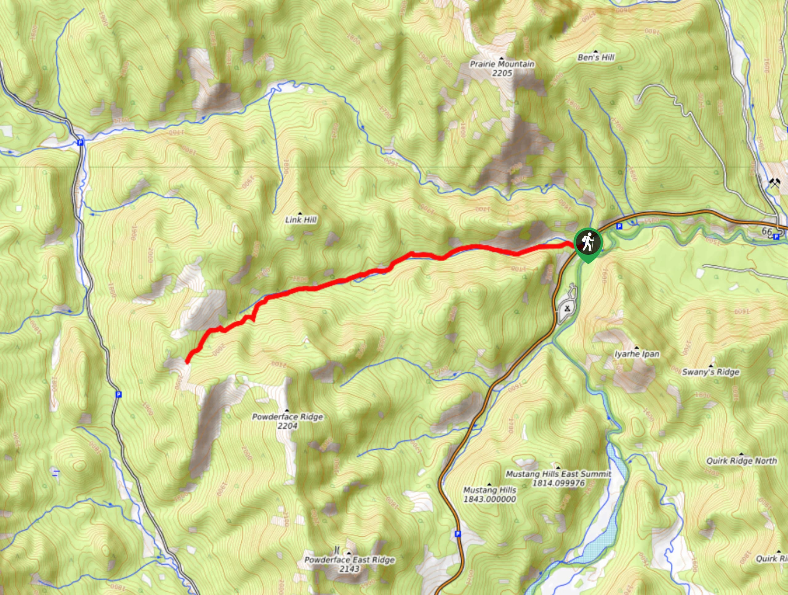
The Powderface Creek trail in Kananaskis is a popular hiking, biking, and horseback trail, so be aware of traffic when…
Barwell Trail
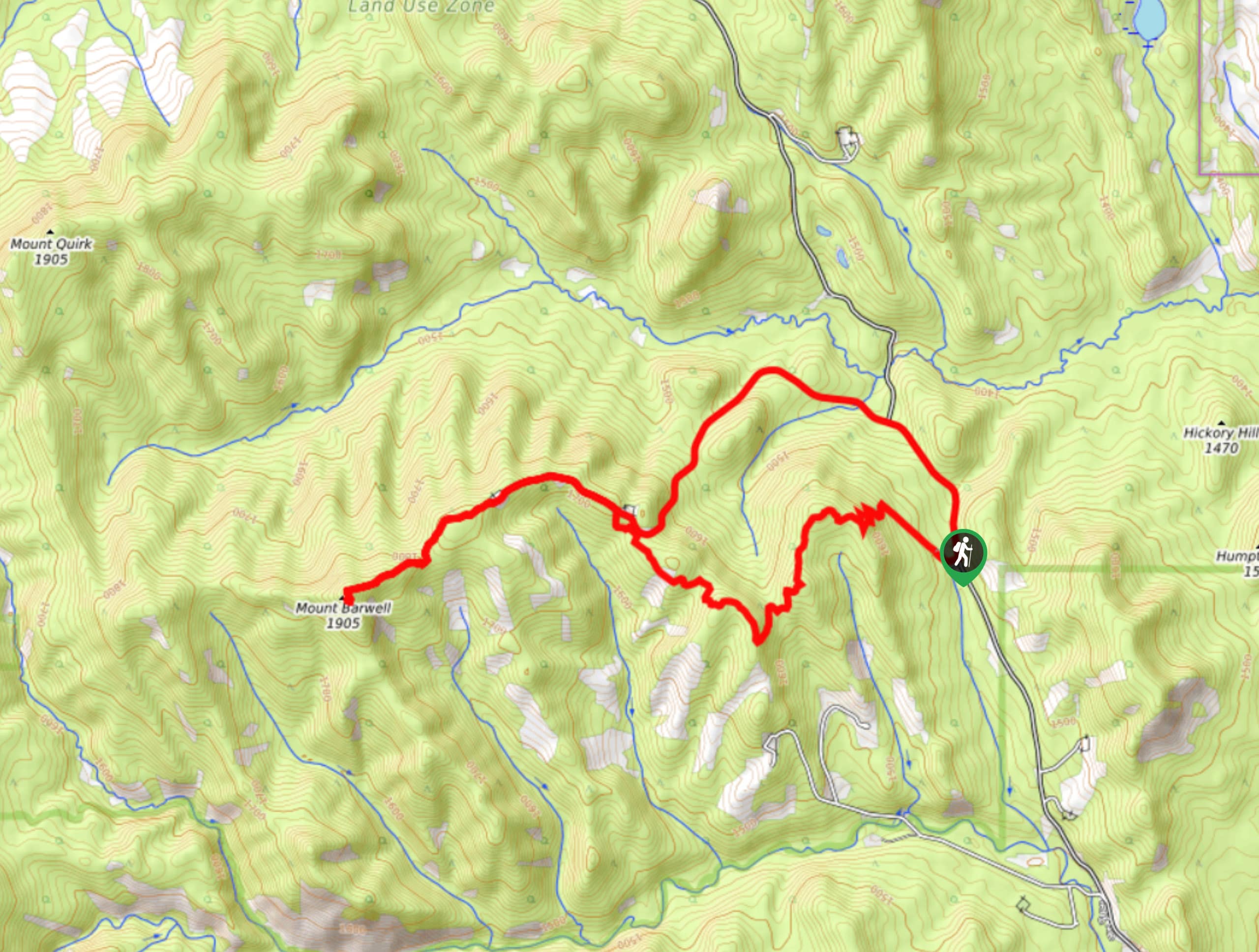
Hiking the Mount Barwell Trail is a half to full day effort that is very rewarding. With minimal crowds and…


ccharabin 4 years ago
Really nice hike. Great for starting the hiking season. There is the option to do a there and back (which is shorter) or do the loop as shown on the map here. I recommend doing the loop. The loop is a longer hike (~14.7km) but it is rewarding as after the two lookouts there are some nice bridges and a waterfall. There is one tiny dog-friendly scramble. This is for the last lookout also called the fire lookout. I saw another group of hikers take their dogs up it no problem. I recommend bringing a windbreaker or rain jacket. Barrier lake gets windy and the lookouts also carried wind. Just keep an eye out for signage especially after the fire lookout. As long as you are paying attention it will be easy to stay on track.