Fullerton Loop Hike
View Photos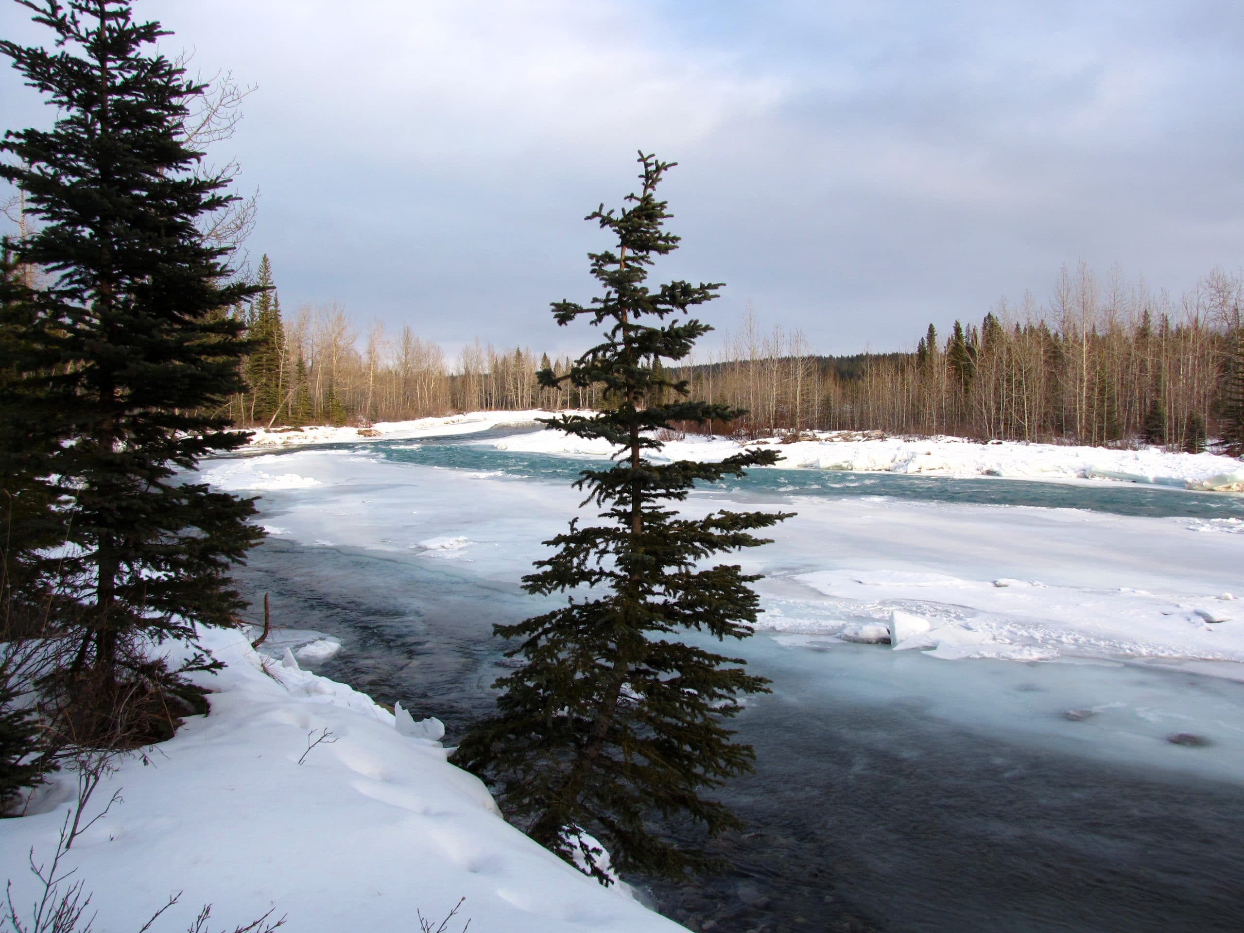
Fullerton Loop Hike
Difficulty Rating:
The Fullerton Loop offers superb views of Moose Mountain and the foothills surrounding the area. This trail has a long season and is a great choice for early and late season hiking. There are many connecting trails nearby if you are looking for something a bit longer.
Getting there
From Calgary, you will need to head towards Bragg Creek to get to the Fullerton Loop trailhead. Take Highway 8 and at the roundabout merge onto AB-22 South at the third exit. Take a right and merge onto Highway 66 westbound towards Bragg Creek. Just past the hamlet of Bragg Creek, turn into the Allen Bill Pond parking area on your left.

About
| When to do | May-November |
| Backcountry Campsites | No |
| Pets allowed | Yes - On Leash |
| Family friendly | Yes |
| Route Signage | Average |
| Crowd Levels | Moderate |
| Route Type | Lollipop |
Fullerton Loop Hike
Elevation Graph
Weather
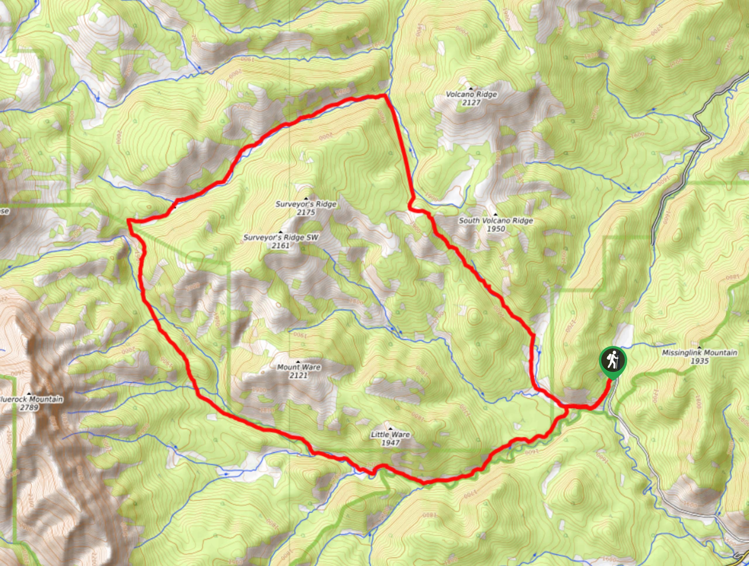
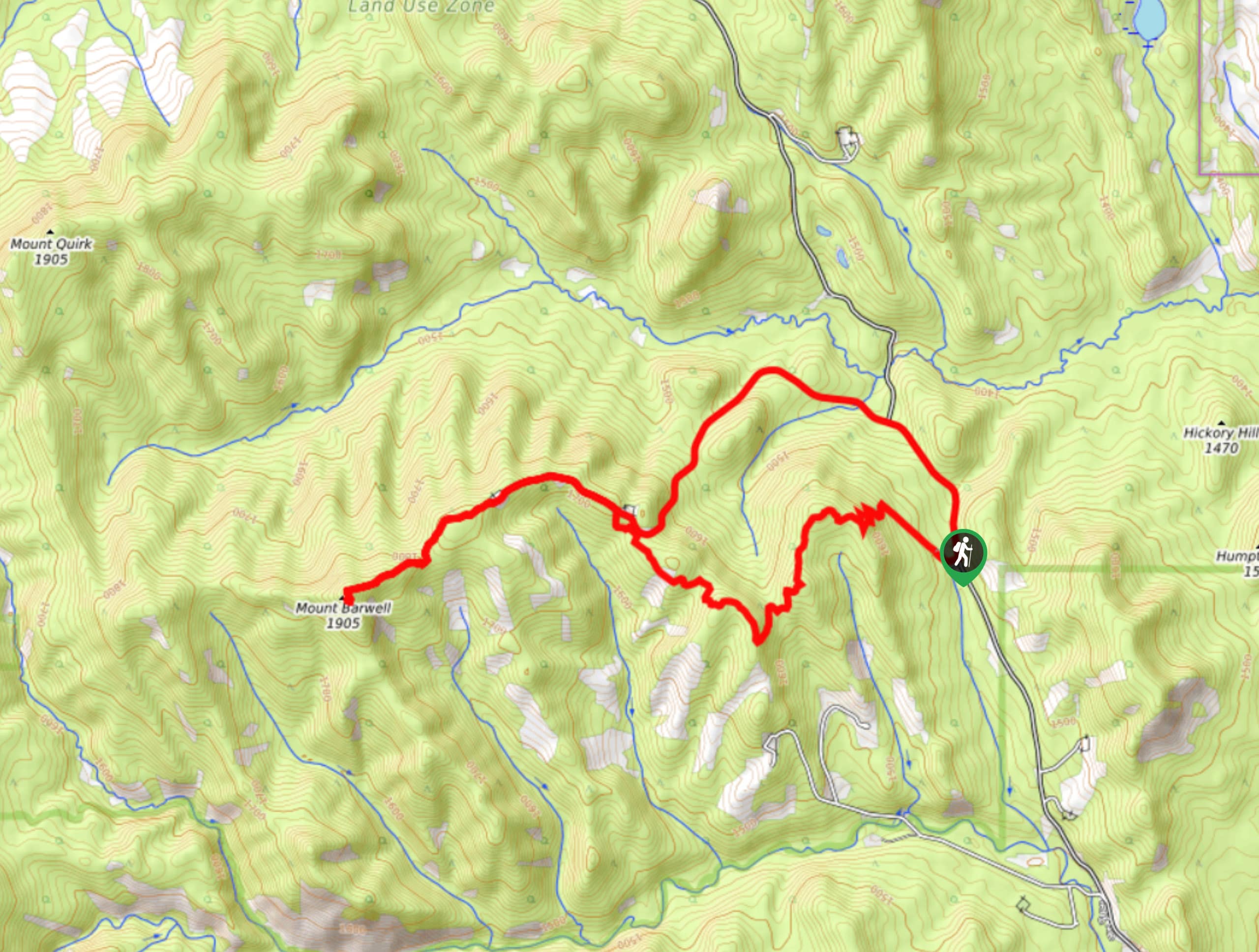
Fullerton Loop Trail Description
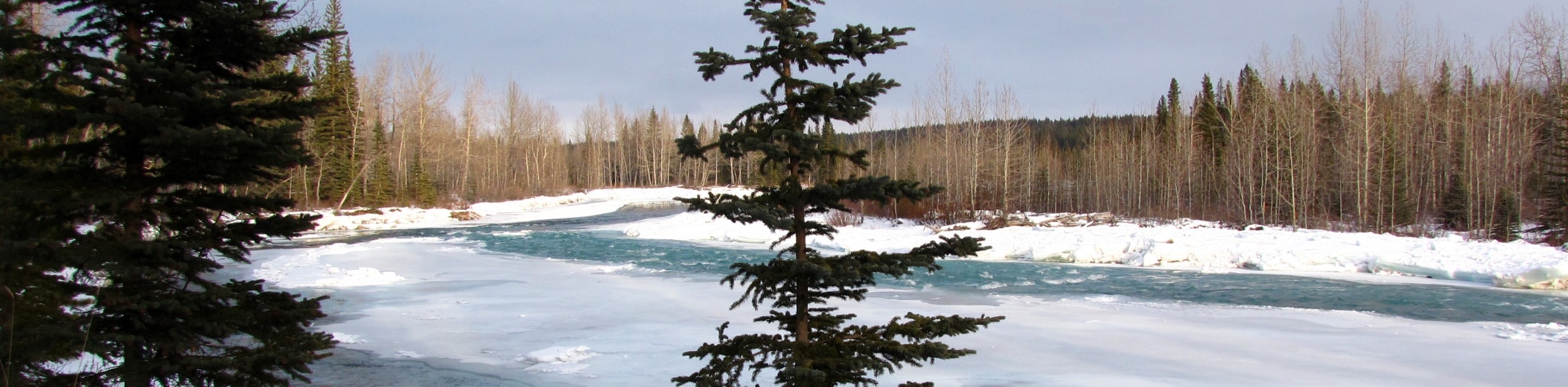
The Fullerton Loop was damaged in the 2013 floods which has rerouted the trail from previous years. The parking area is across the highway, so know that you will need to cross to make it to the official trailhead.
This trail is a beautiful half day hike for beginner to intermediate hikers and those with children. It follows a scenic lollipop route that has the option of connecting to other trails. You will get great views of the grand Moose Mountain in the distance.
From the Allen Bill Pond parking area, cross the highway to the main trailhead. The trail begins on your right. After 0.7mi, pass by a junction that leads to Sugar Momma, Snagmore, and Elbow Trails. These are all options to add onto your trip if you would like to.
In 200m, you will come to the junction for your loop. Stay right to complete the trail counter-clockwise for the best views. The wide and clear trail gains steadily as you hike along the hillside, coming to some clearings from the forest.
You will reach the highpoint after 2.1mi from the trailhead, where you will begin to see some surrounding peaks popping through the trees. A viewpoint with an old bench rests here, so take advantage and break for lunch or a snack here. Enjoy the views before beginning your descent.
As you descend, you will come across various viewpoints that are worth stopping for. Lookout for Moose Mountain in the distance as it is sure worth a photo. You’ll stop in your tracks when views of the Elbow Valley begin to appear on your descent, making all that uphill work pay off.
Find other amazing hikes in Kananaskis Country
- Kananaskis – Smith Dorrien Trail: Chester Lake, Tent Ridge, Burstall Pass, West Wind Pass and Rummel Lake.
- Bragg Creek and Sheep River Provincial Park: Prairie Mountain, Powderface Ridge, Nihahi Ridge and ForgetMeNot Ridge.
- Kananaskis Trail: Troll Falls, Rawson Lake, Wasootch Ridge, Sarrail Ridge and Pocaterra Ridge.
Insider Hints
Hike counter-clockwise for better views
Add one of the popular surrounding hikes to your trip for a double trail day
Book a campsite at McLean Creek nearby to take advantage and explore the endless trails in this area
Stop in the Hamlet of Bragg Creek on your way back from some ice cream from the local store

Similar hikes to the Fullerton Loop Hike hike
Gorge Creek Loop
Hiking the Gorge Creek Loop requires some route knowledge and a bit of extra effort as it is not as…
Powderface Creek Trail
The Powderface Creek trail in Kananaskis is a popular hiking, biking, and horseback trail, so be aware of traffic when…
Barwell Trail
Hiking the Mount Barwell Trail is a half to full day effort that is very rewarding. With minimal crowds and…
flissyp 4 years ago