Little Elbow Trail hike
View Photos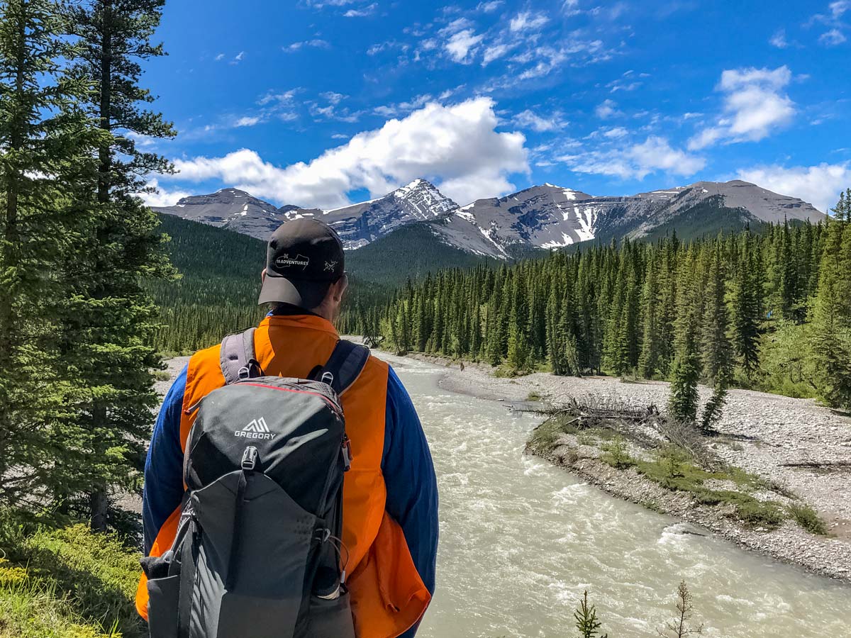
Little Elbow Trail hike
Difficulty Rating:
Little Elbow Trail connects with Big Elbow Trail to form a loop that connects three backcountry campgrounds. It’s a beautiful hike with views of Mount Romulus, Mount Glasgow, and more. You can go as far as you like on this trail, and it’s largely family-friendly.
Getting there
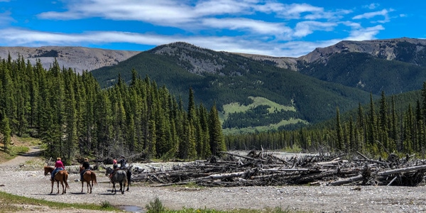
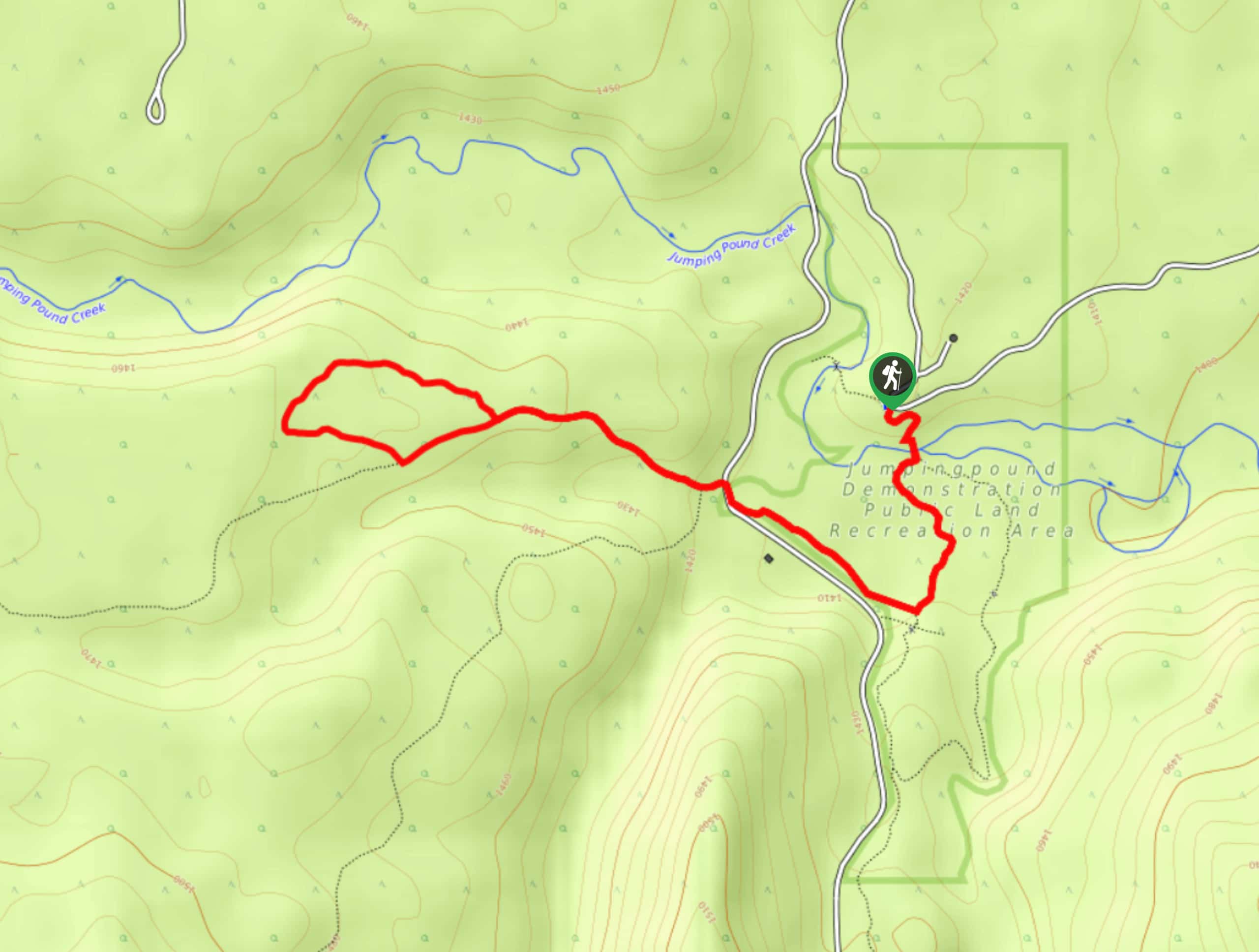
From Calgary, head west on Highway 8. At the traffic circle, take the exit onto Highway 22 South. After 8.7mi, take a right at the T intersection onto Highway 66. Turn left at the intersection with Powderface Trail and follow the Little Elbow Camp Access Road. The trailhead is at the far west end of the equestrian campground.

About
| When to do | June-October |
| Backcountry Campsites | Yes |
| Pets allowed | Yes - On Leash |
| Family friendly | Yes |
| Route Signage | Good |
| Crowd Levels | Moderate |
| Route Type | Out and back |
Little Elbow Trail
Elevation Graph
Weather
Route Description for Little Elbow Trail
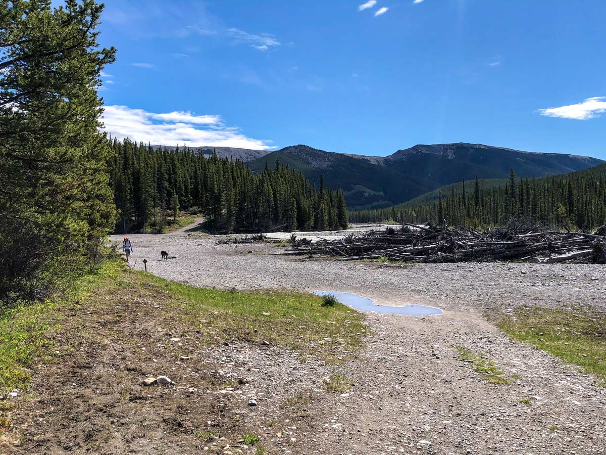
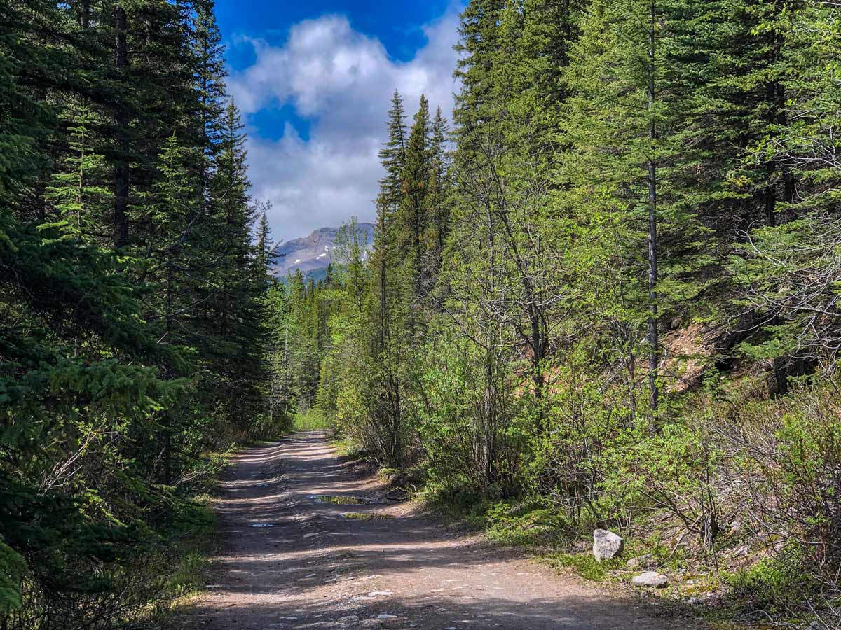
The Little Elbow Recreation Area gets busy on the weekend, so pay close attention to where you choose to park. While there tends to be ample parking, certain lots are restricted. The trailhead is at the far west end of the equestrian campground, but take care not to park in the equestrian lot. Signage is good in this area.
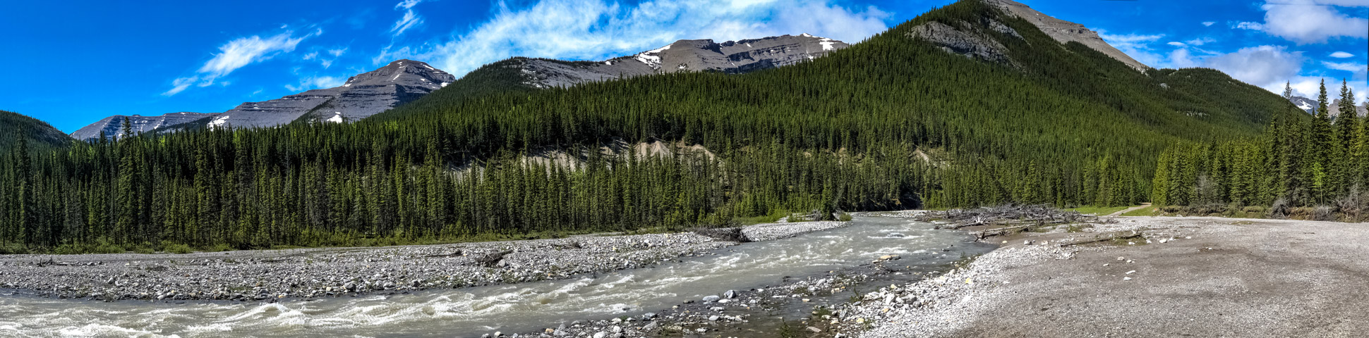
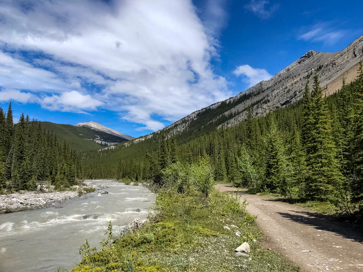
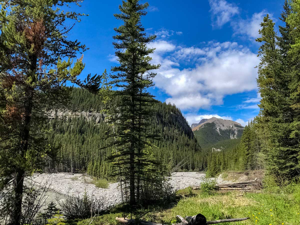
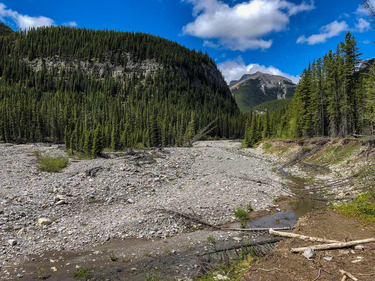
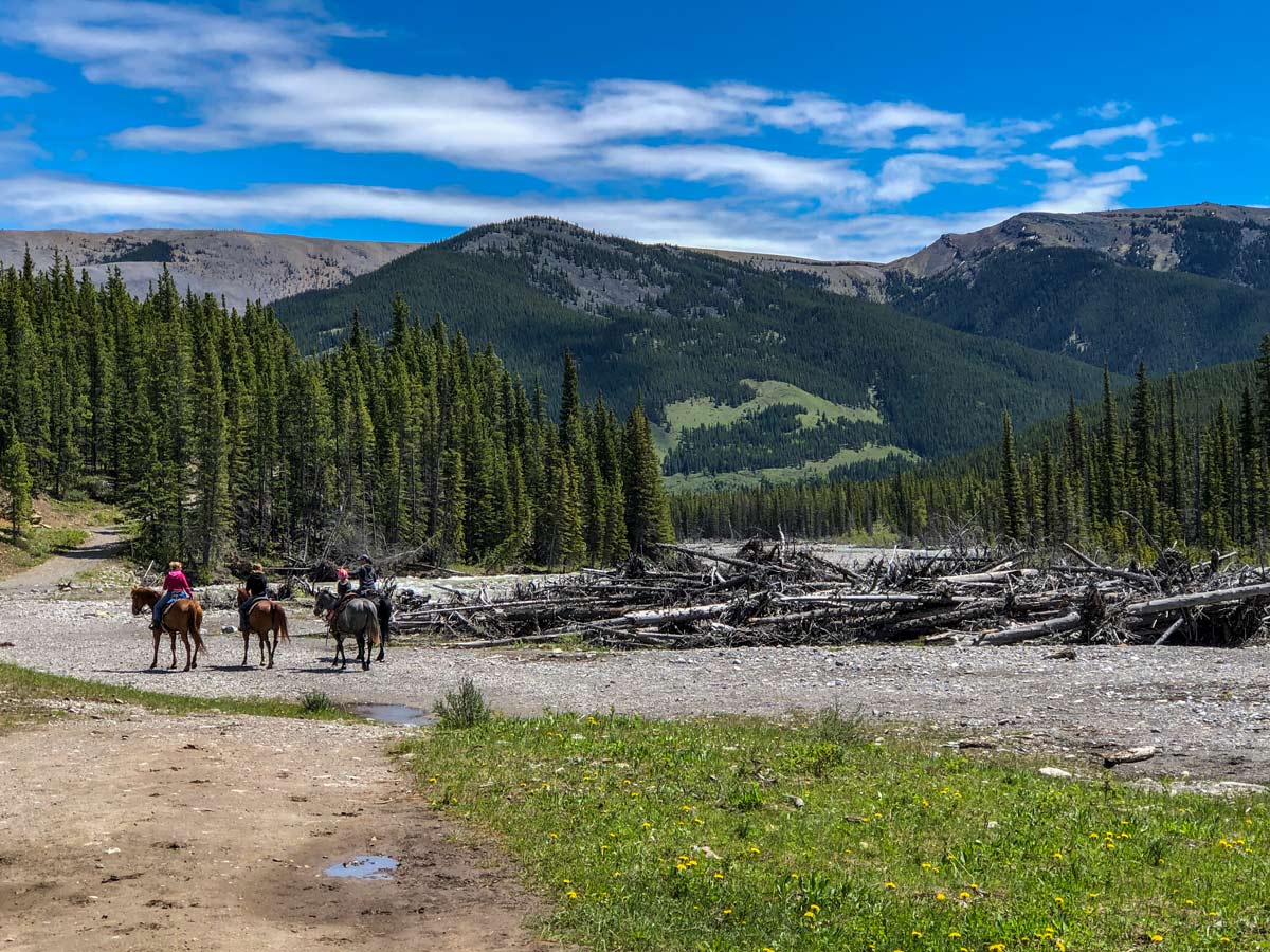
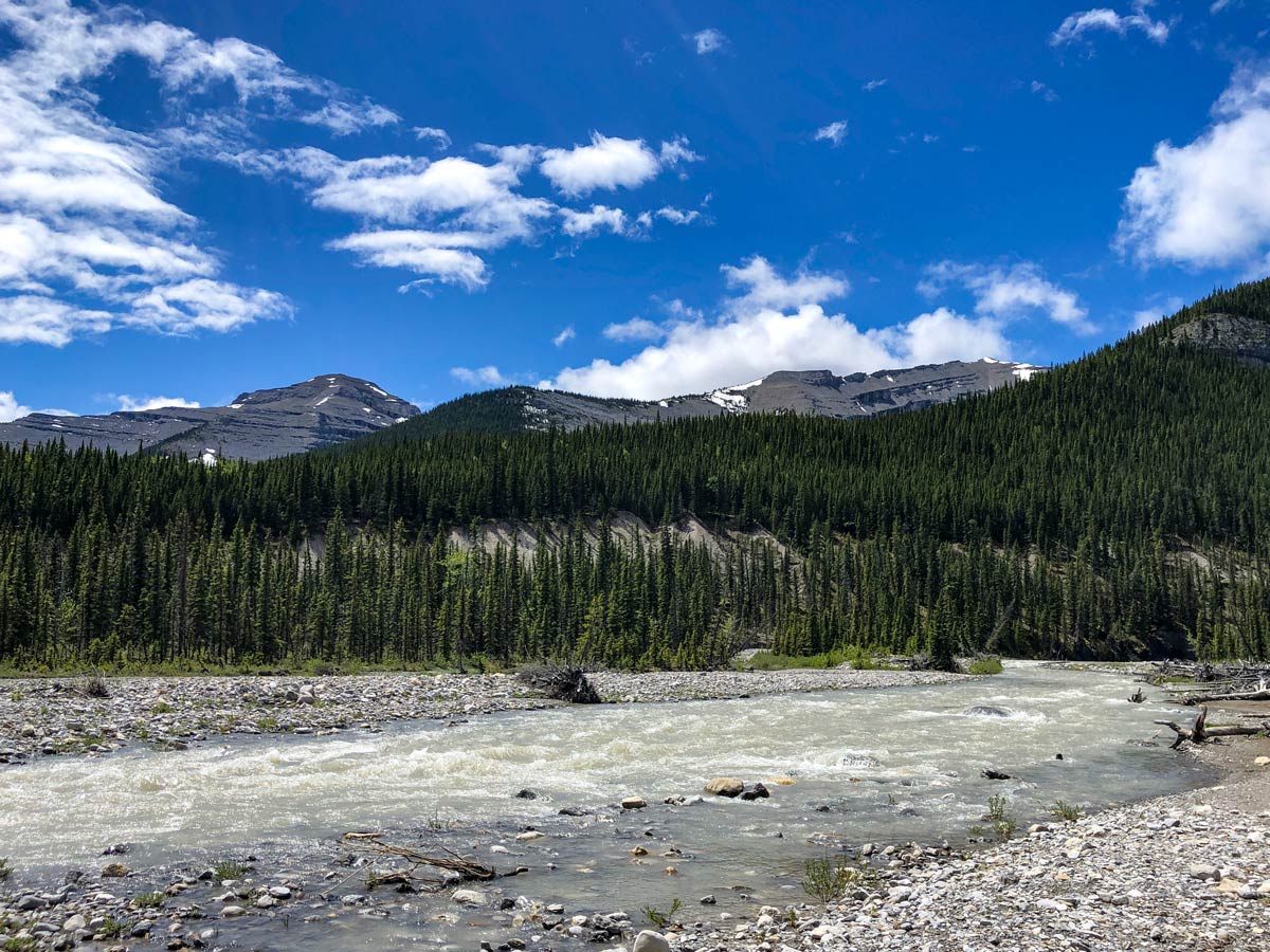
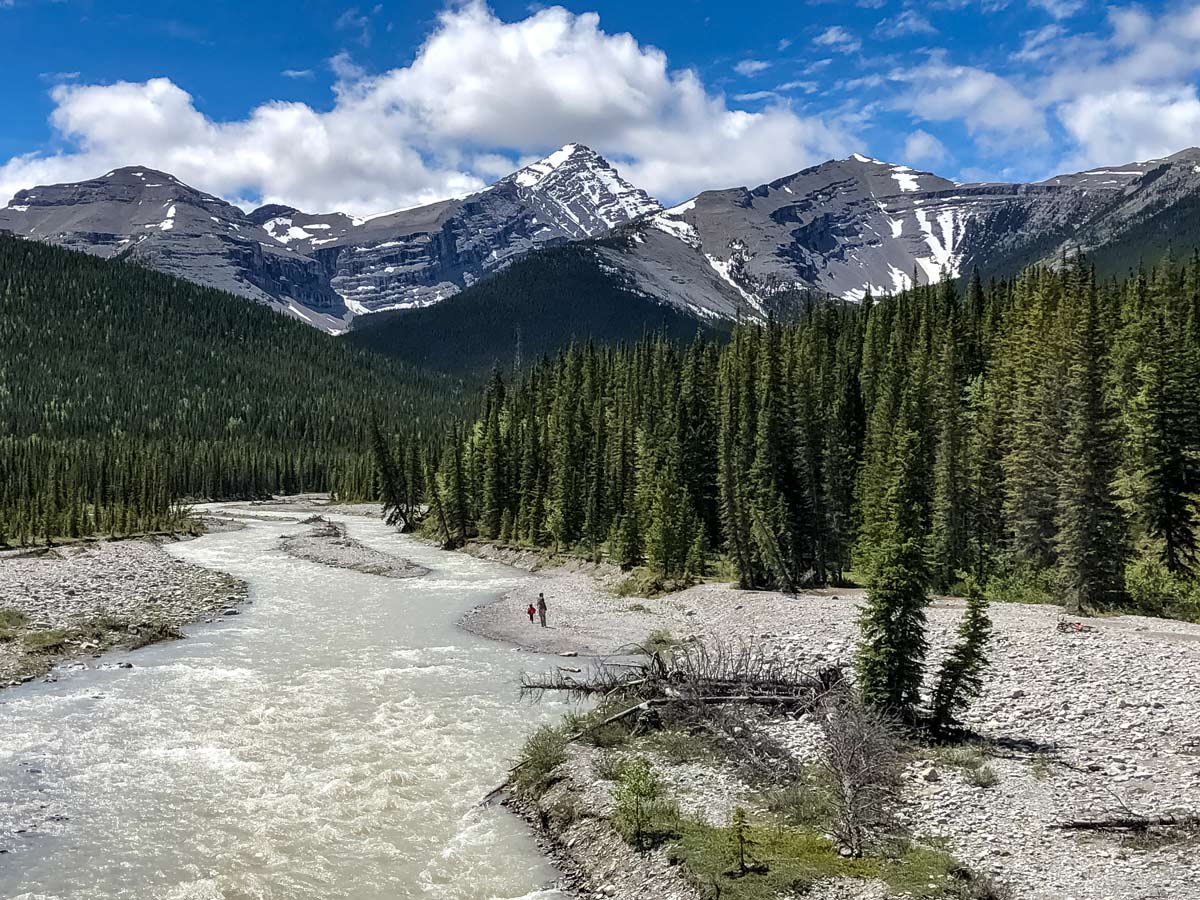
Little Elbow Trail connects with Big Elbow Trail to form Elbow Loop, a fantastic Backpacking trail connecting three campgrounds. If you’re just out for the day, you can enjoy hiking as much of the trail as you please before heading back. The trail enjoys views of nearby Mount Romulus, Mount Glasgow, Mount Cornwall, and more depending on how far you go.
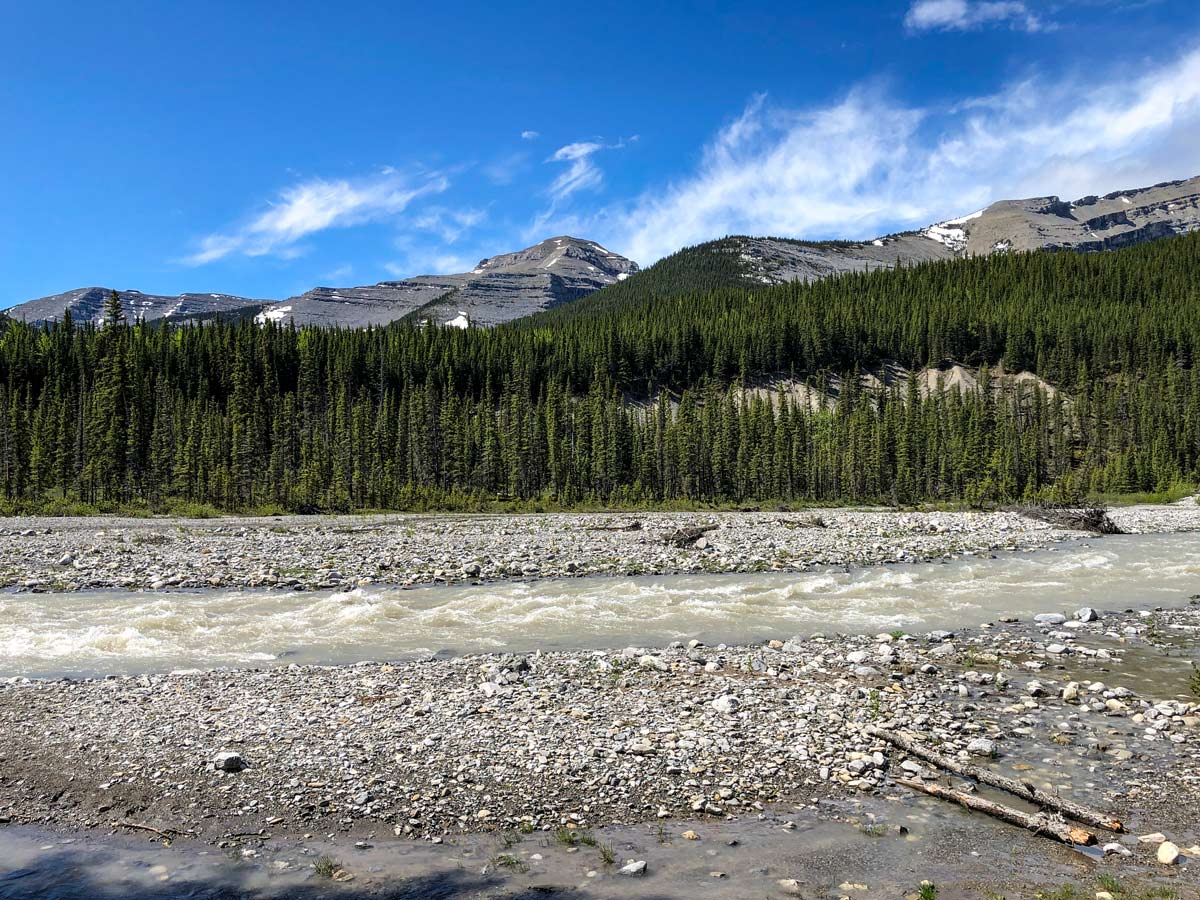
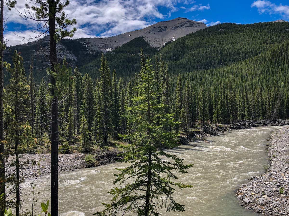
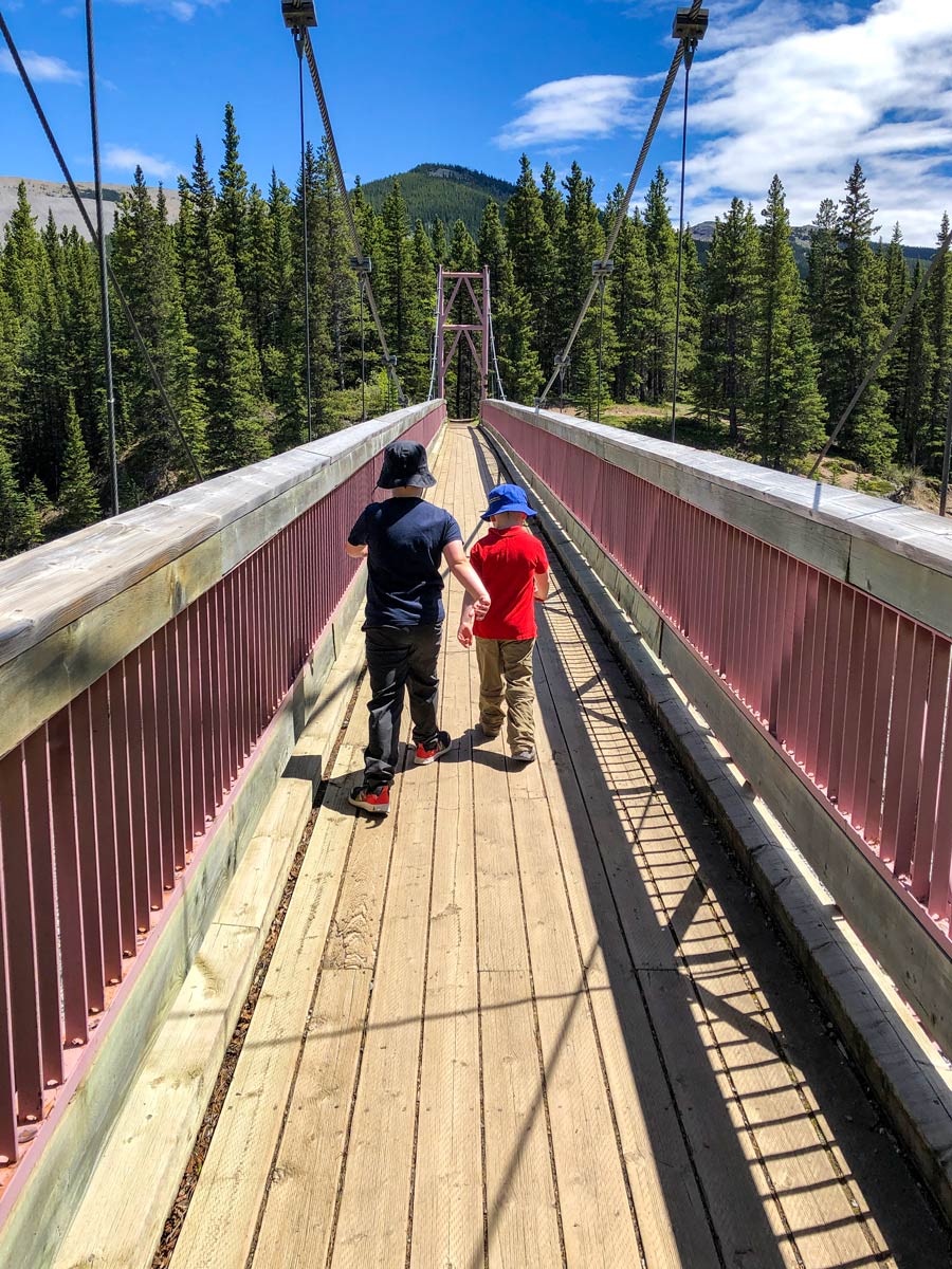
From the trailhead at the equestrian campground, the trail is hard-packed and easy to follow. It winds alongside the Little Elbow River, with a crossing at Nihahi Creek early on. The elevation gain is light and steady, and the trail is obvious.
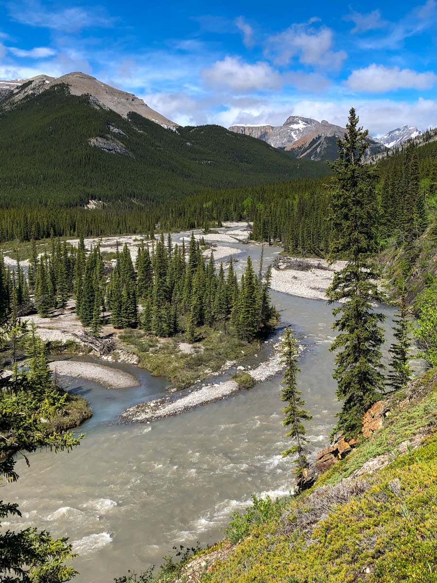
If not completing the full 25.3mi trail, you can hike as far as you want. We like stopping where the Little Elbow River obviously widens out, which is a few hundred metres before the intersection of the Mount Remus trail. Wherever you choose to finish, simply turn around and head back the way you came.
Insider Hints
During the spring and summer, the flies can be bad on this trail. Bring bug spray!
Powderface Trail (the western terminus of Highway 66) is closed from December through mid-May each year.
Those wanting to complete a longer backpacking route can continue on to connect with Big Elbow Trail, camping at Mount Romulus, Tombstone, or Big Elbow sites.

Similar hikes to the Little Elbow Trail hike
Pine Woods Loop
Hiking the Pine Woods Interpretive Loop Trail doesn’t take long, but is an excellent way to find solitude in the…
Sibbald Flats Trail
The Sibbald Flats interpretive trail travels around Sibbald Lake and includes many educational signs. It starts in the central Sibbald…
Diamond T Loop
The Diamond T Loop is an excellent beginner-intermediate trail in Kananaskis. It is part of a broader trail system and…
Rebekah L. 5 years ago
Very convenient place to visit if you just want a quick walk and breathe some fresh air. Perfect especially in the morning, but other times are not that bad either.
Paul D. 5 years ago
Takes very little time to finish. Might as well do it with groups to enjoy it.
Sean Kater 6 years ago
Nice and easy hike. Not very demanding and can be done before doing other short hikes.
Coll A. 6 years ago
The trail is easy to follow. During the spring and summer, the flies can be bad on this trail. Bring bug spray.
Meng Hin Jai 6 years ago
Awesome hike! The walks are not particularly difficult, despite the uneven path. Safe and family-friendly.
Harry S. 6 years ago
Little Elbow Trail connects with Big Elbow Trail to form a loop that connects three backcountry campgrounds. The trail enjoys views of nearby Mount Romulus, Mount Glasgow, Mount Cornwall, and more depending on how far you go. It was an amazing hiking experience.
Mike Constance 6 years ago
This brisk walk is a great way to refresh and bond with the family. Awesome location for sight-seeing. The nearby peaks look great.
Perry K. 6 years ago
Easy and beautiful hike with views of Mount Romulus, Mount Glasgow, and more. Excellent for family-bondings.