

Big Elbow Trail hike
View PhotosBig Elbow Trail hike
Difficulty Rating:
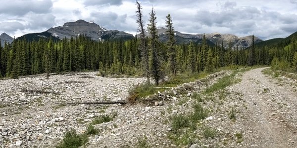
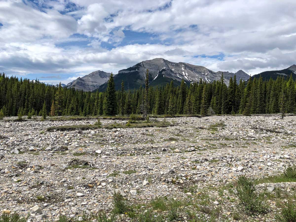
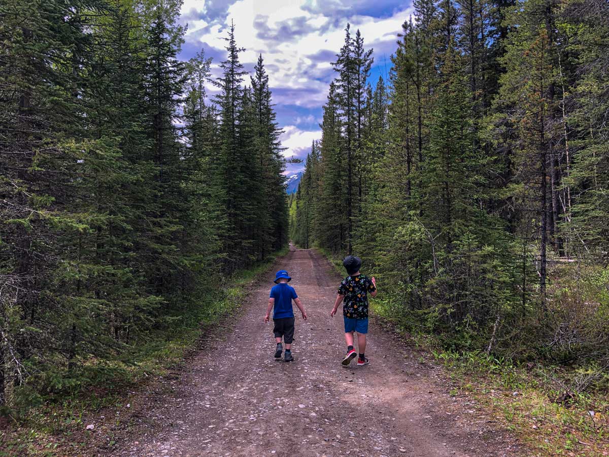
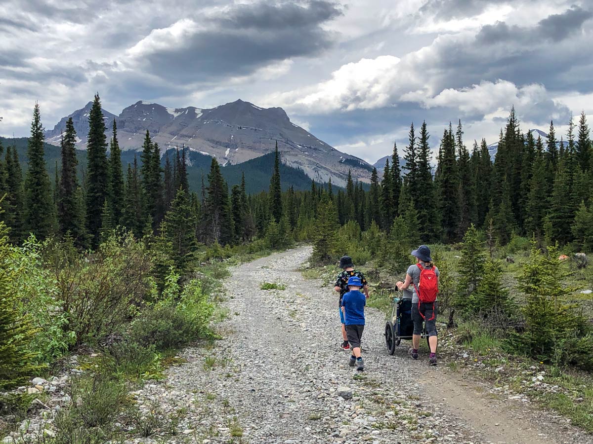
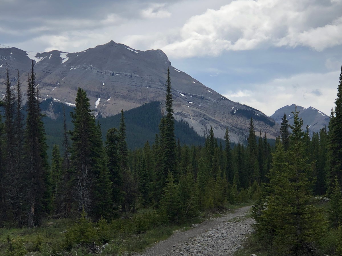
Big Elbow Trail is a scenic, easy hike that leads to a backcountry campground. The trail follows an access road with very gradual elevation change, making it a family-friendly outing that’s shoulder season-friendly. The views of Threepoint Mountain and Banded Peak are fantastic.
Getting there
From Calgary, head west on Highway 8. At the traffic circle, take the exit onto Highway 22 South. After 8.7mi, take a right at the T intersection onto Highway 66. Turn left at the intersection with Powderface Trail and follow the Little Elbow Camp Access Road. Continue 1.2mi and park at the Little Elbow Recreation Area. The trail begins just before Harold Chapman Bridge.
About
| When to do | June-October |
| Backcountry Campsites | Yes |
| Pets allowed | Yes - On Leash |
| Family friendly | Yes |
| Route Signage | Good |
| Crowd Levels | Moderate |
| Route Type | Out and back |
Big Elbow Trail
Elevation Graph
Weather
Route Description for Big Elbow Trail
The Little Elbow Recreation Area can get quite busy on the weekends. While there is normally plenty of parking, pay attention to signage—there are certain areas where parking is restricted to campsite users, equestrian trailers, or otherwise. You might have to trek through the campground a bit to reach the trailhead depending on your parking spot. The route signage is generally clear in the area-—follow the signs for Big Elbow.
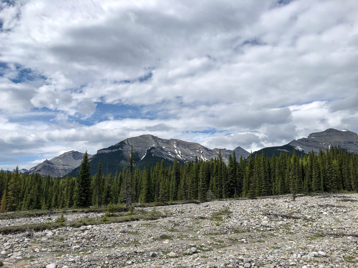
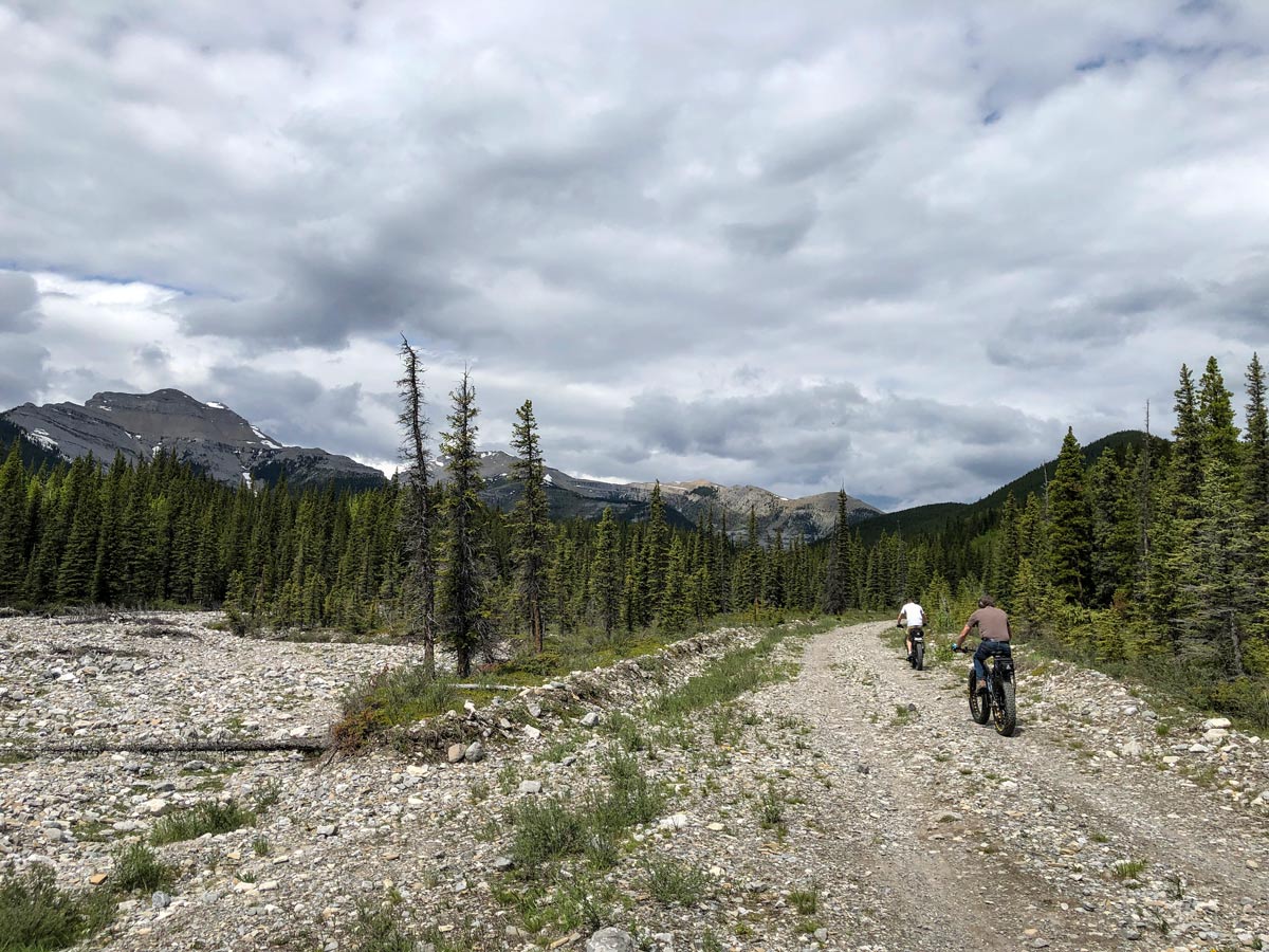
Big Elbow Trail offers lovely views of Forgetmenot Ridge, Forgetmenot Mountain, Threepoint Mountain, Banded Peak, and the Bow River. The actual trail follows a wide road, so there’s nothing technical or difficult about it. The elevation gain is modest, making it a great choice for families and strollers. The trail starts by approaching and then crossing Harold Chapman Bridge. The road generally follows the river and never gains much elevation at once.
Because the views are enjoyable the entire way, it’s up to you how far up the road you go. The trail ends at Big Elbow Backcountry Campground, which is a great option if you want to make a backcountry trip of the hike. Those wanting a multi-day adventure can continue on to Tombstone Campground or Mount Romulus.
Whenever you’ve had your fill, simply turn around and return the way you came.
Insider Hints
To make a full weekend of it, you can take the Big Elbow-Little Elbow loop to traverse nearly 29.8mi
Powderface Trail (the western terminus of Highway 66) is closed from December through mid-May each year
This is a great hike in spring and fall because of the low elevation, and if the conditions are fair you can enjoy it through winter as well
Similar hikes to the Big Elbow Trail hike
Pine Woods Loop
Hiking the Pine Woods Interpretive Loop Trail doesn’t take long, but is an excellent way to find solitude in the…
Sibbald Flats Trail
The Sibbald Flats interpretive trail travels around Sibbald Lake and includes many educational signs. It starts in the central Sibbald…

Diamond T Loop
The Diamond T Loop is an excellent beginner-intermediate trail in Kananaskis. It is part of a broader trail system and…


Comments