Joffre Peak via Cerise Creek Trail
View Photos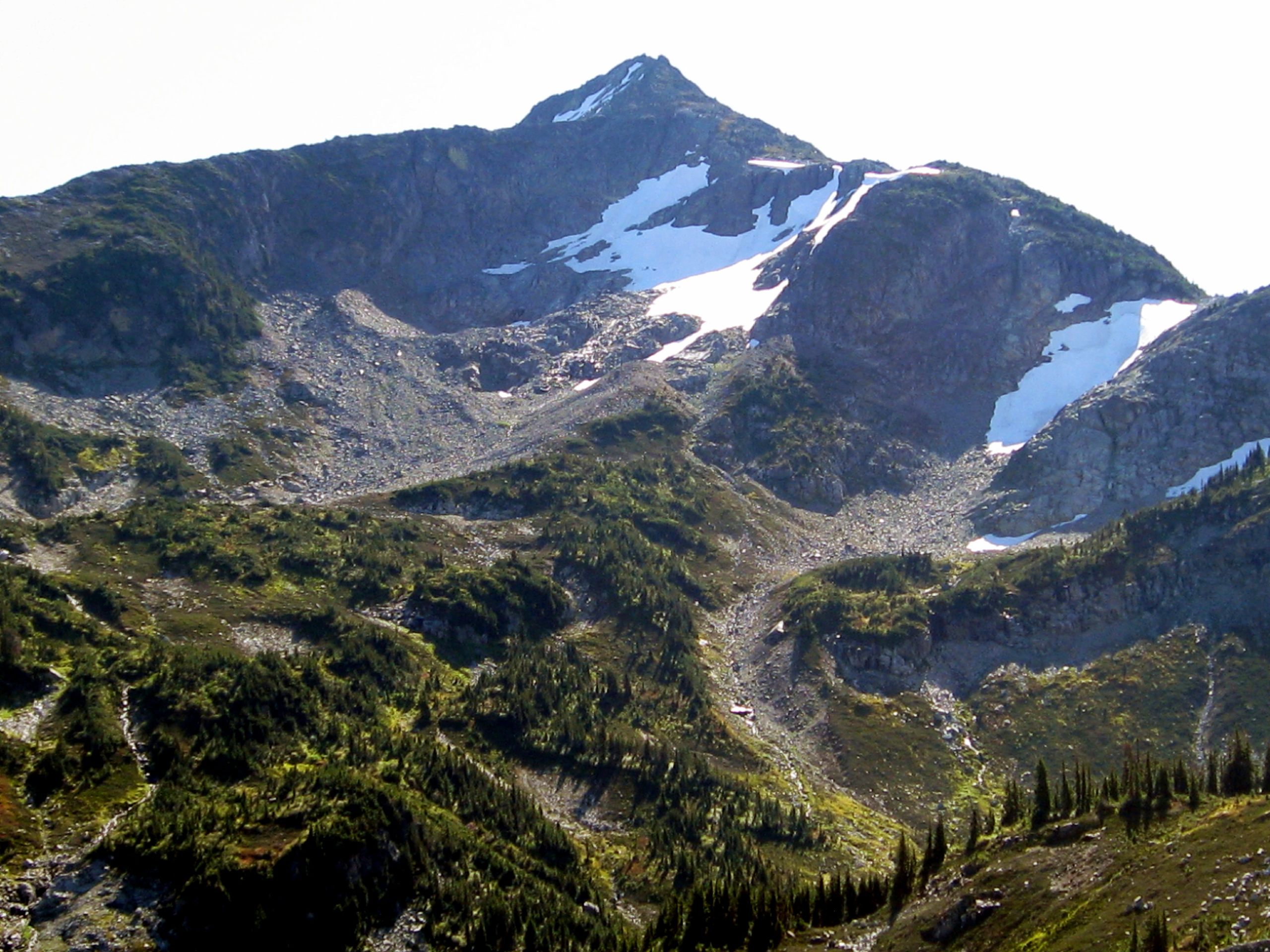
Joffre Peak via Cerise Creek Trail
Difficulty Rating:
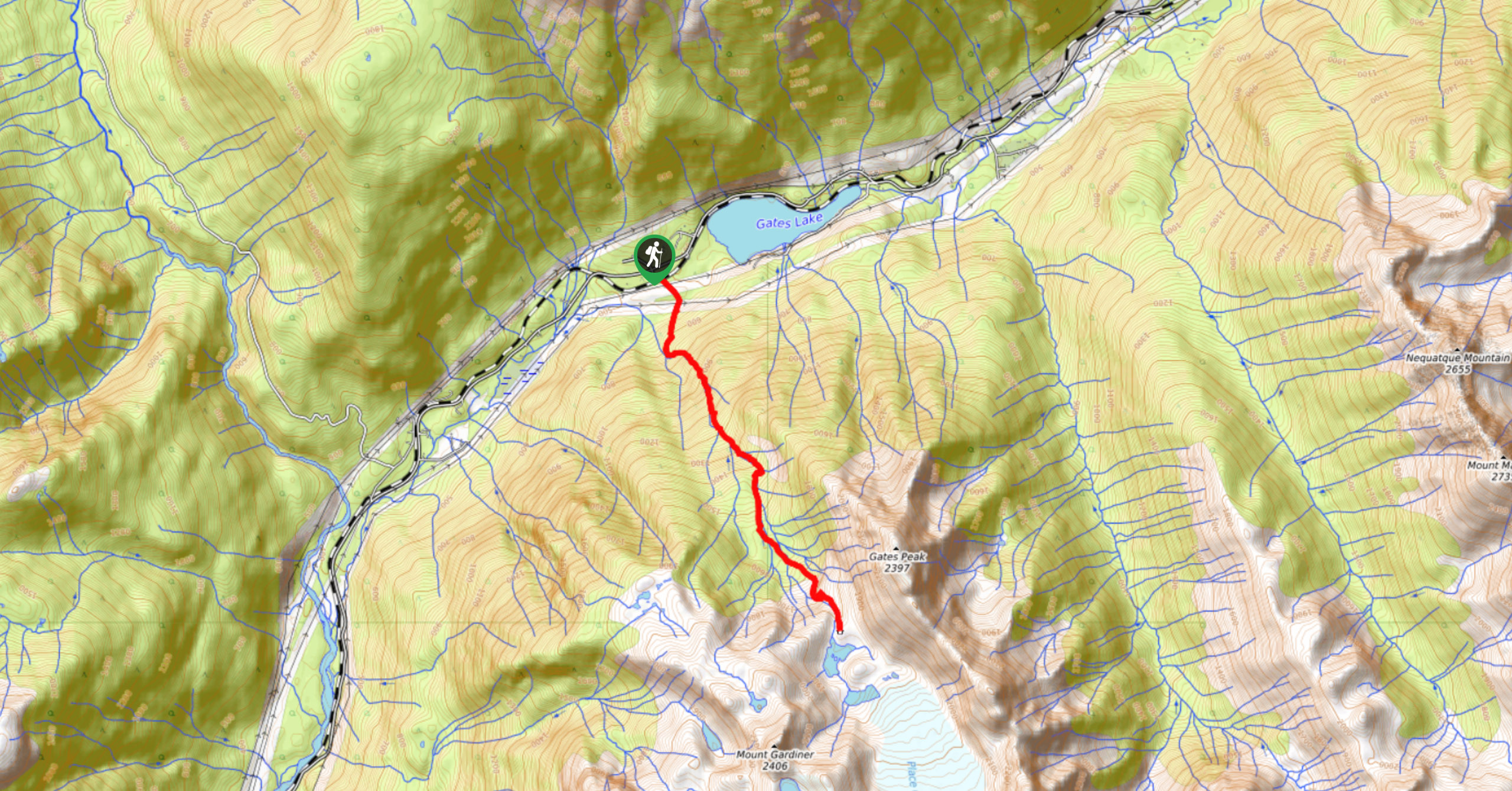
The Joffre Peak via Cerise Creek Trail is a 9.5mi out-and-back climbing route near Pemberton that will take you uphill alongside Cerise Creek to summit the intimidating Joffre Peak. This trail requires mountaineering experience and proper climbing gear to complete, so do not attempt the route unless you are prepared. Those that do make it to the summit will have spectacular views looking out over the surrounding mountain peaks.
Getting there
To reach the parking area for the Joffre Peak via Cerise Creek Trail from Pemberton, drive east on BC-99 N for 4.3mi and make a right turn to stay on the road. Continue for 18.8mi, where you will find parking and the trailhead on your right.

About
| When to do | June–October |
| Backcountry Campsites | Keith’s Hut, Motel 66 |
| Pets allowed | No |
| Family friendly | No |
| Route Signage | Average |
| Crowd Levels | Moderate |
| Route Type | Out and back |
Joffre Peak via Cerise Creek Trail
Elevation Graph
Weather
Joffre Peak via Cerise Creek Trail Description
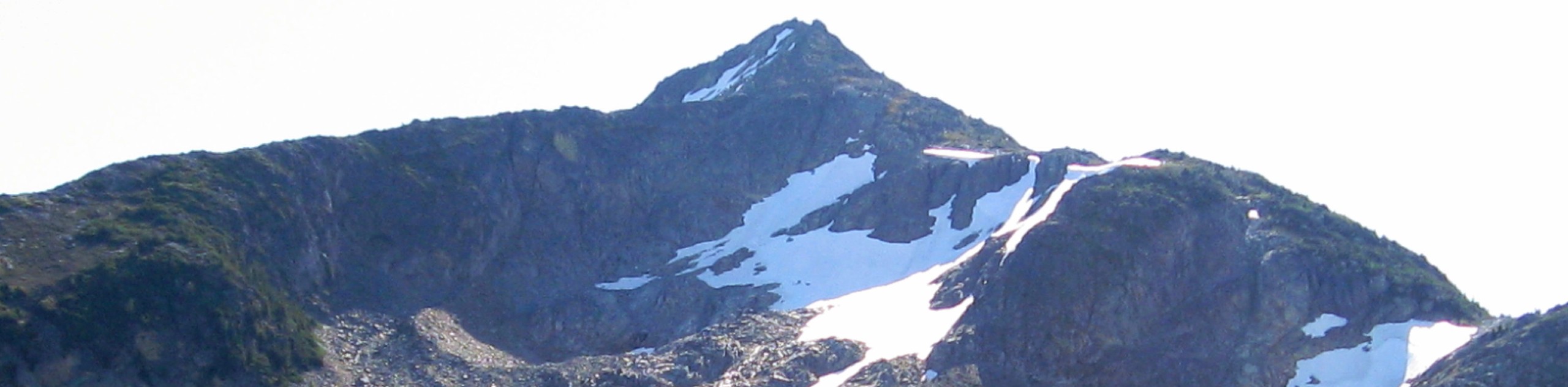
The Joffre Peak via Cerise Creek Trail is an extremely challenging scramble near Pemberton that requires mountaineering experience due to glaciers, rockfall, and weather hazards. This route should only be attempted by experienced climbers, ideally as a team, with proper gear such as helmets, crampons, and ice axes. This trail is one of the more challenging scrambles in southwest British Columbia. The tremendous variation in terrain, technical sections, and difficult navigation makes for a fantastic day out in the alpine landscape. From the summit of Joffre Peak, you will have spectacular views of the multitude of surrounding mountains, as well as Joffre Lakes and the Matier Glacier.
Similar Scrambles to the Joffre Peak via Cerise Creek Trail Scramble
Place Glacier Trail
The Place Glacier Trail is a difficult 6.8mi hiking route near Pemberton that climbs steeply uphill to some…
Face Mountain Trail
The Face Mountain Trail is a challenging out-and-back hiking route near Pemberton that takes hikers on a difficult scramble to…
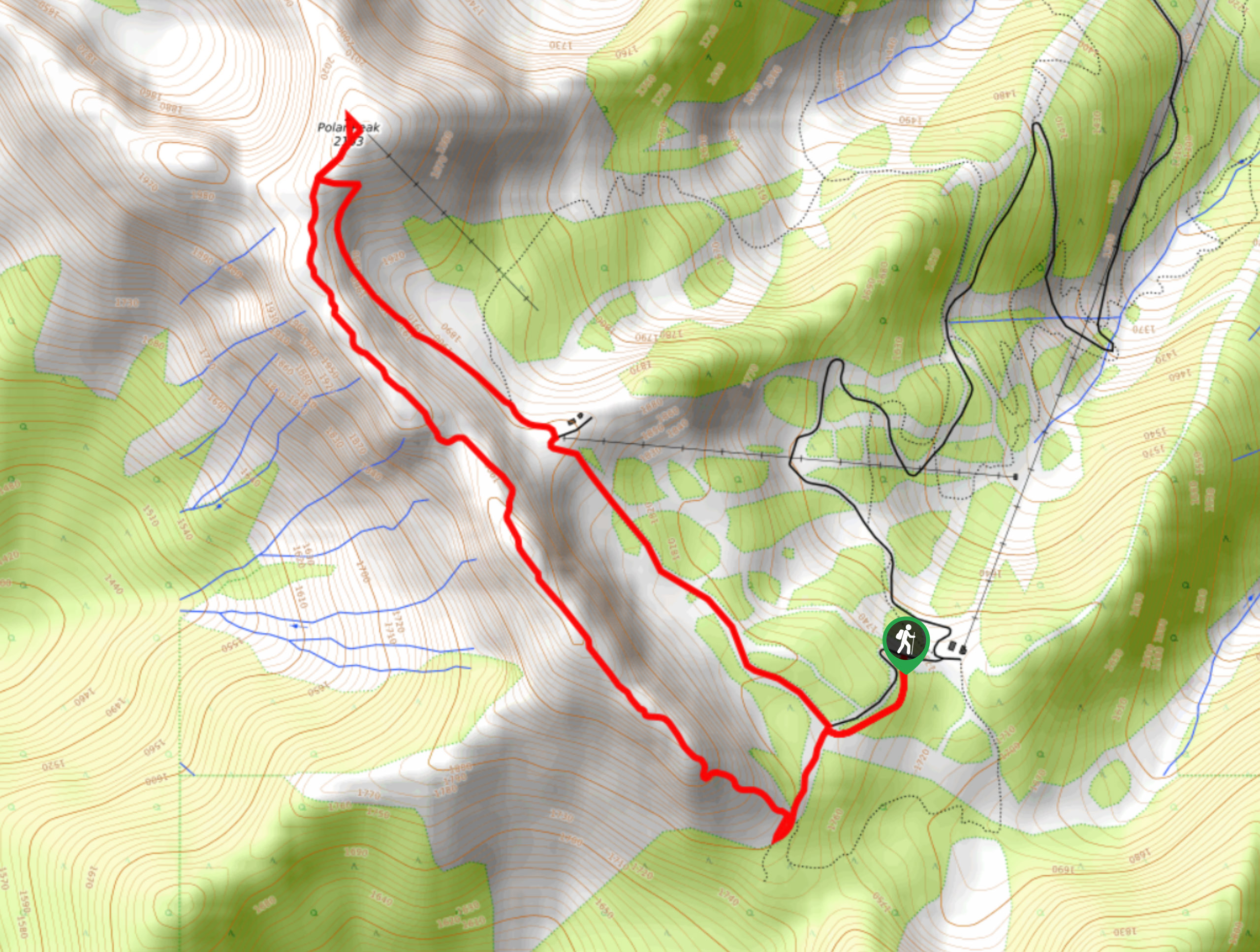
Polar Peak Ridge Trail
The Polar Peak Ridge Trail is a challenging 3.5mi route near Fernie that traverses an alpine ridge and…
Comments