Coral Ridge Scramble
View Photos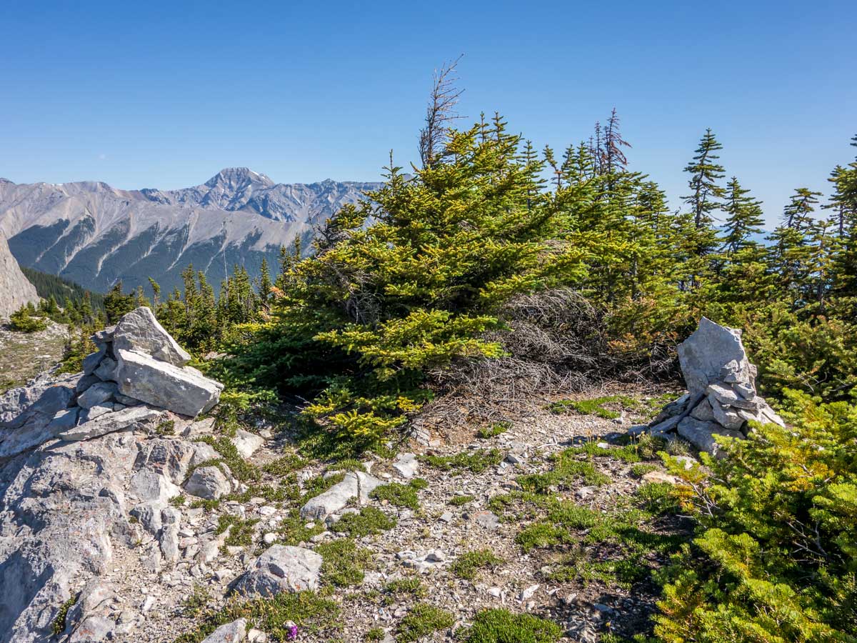

Coral Ridge Scramble
Difficulty Rating:
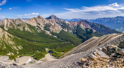
The Coral Ridge scramble is a treat for adventure lovers, as this path is not very well known and very few people choose to scramble up here. Prepare for some bushwalking, as bits of the path can be spotted only rarely. The trail leads to the secluded and breathtaking lookout point on the ridge, as well as a vantage point for a closer look at the Mt Stelfox.
Getting there
Get to Coral Creek White Goat Staging Area, where the hike starts from.

About
| When to do | May - October |
| Backcountry Campsites | No |
| Pets allowed | Yes - On Leash |
| Family friendly | No |
| Route Signage | Poor |
| Crowd Levels | Low |
| Route Type | Out and back |
Coral Ridge
Elevation Graph
Weather
Route Description for Coral Ridge
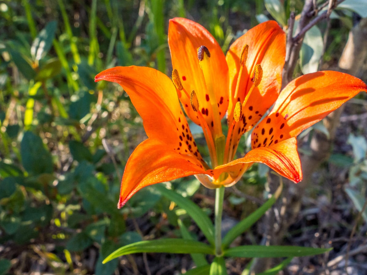
Although the Coral Ridge scramble is on the easier side, be aware that most of the time the trail is not clear, so get your navigation senses ready! Some alternative ascending or descending paths might be steeper than expected, so come prepared. Don’t forget to cover your shins as some light bushwhacking is involved too, but once you reach the ridge, it will become easier to navigate, as the route will get on your plain sight.
The trail starts at Coral Creek White Goat Staging Area. The beginning part of the route is shared with the Coral Creek Trail for about 2.0mi. This route is popular among horse riders and it’s hard to mix it up, as it’s very obvious.
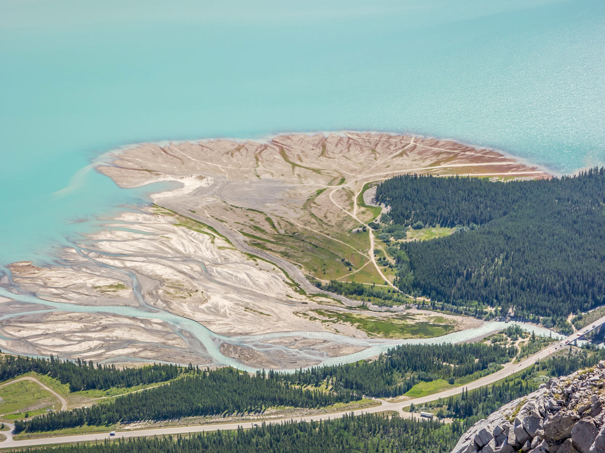
Follow this trail for some time parallel to Cline River a bit further on your left, until the path takes a sharp turn right along the Coral Creek. Soon you will see the flagged trees on your right marking a small path separating up towards the ridge with some cairns here too. If you can’t see anything like that along your route, you can take an alternate path from the overlook of the gorge, which can be found around 2.5mi from the trailhead. From the overlook, there’s an unclear path to the right, going up the ridge.
Regardless of which path you take, continue straight either looking for cairns or some small hints of the trail. Don’t get scared when (or ‘if’) all traces of trail disappear – try to ascend towards the ridge, keeping its east side on your right-hand side.
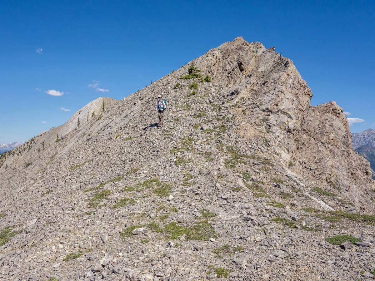
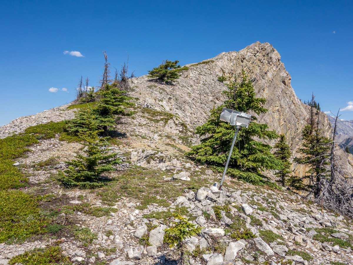
Once the forest thins out, you will see the ridge in its full beauty in front of you. From now on the navigating will get easier – just aim to reach the ridge crest and stay on top of it. The trail here is rocky and some parts may require you to use your hands, but it’s relatively easy to scramble all the way to the top.
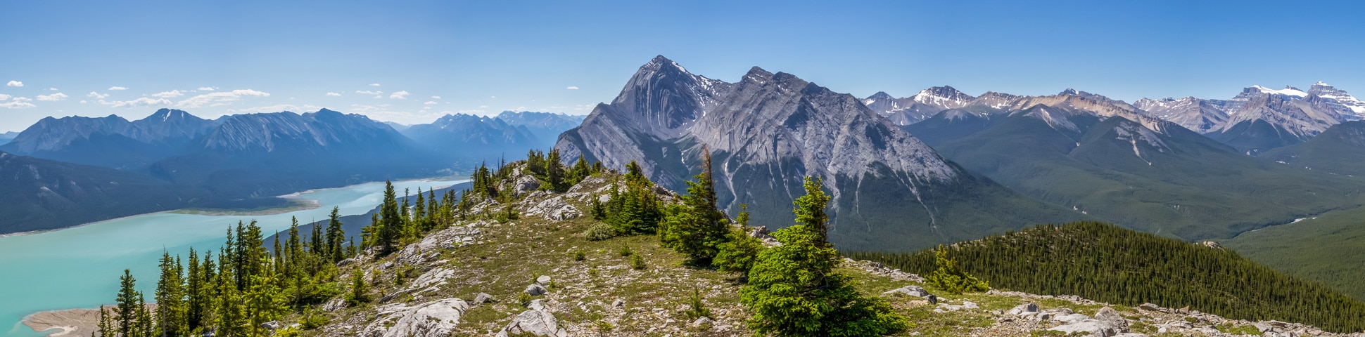
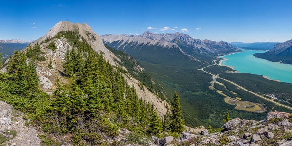
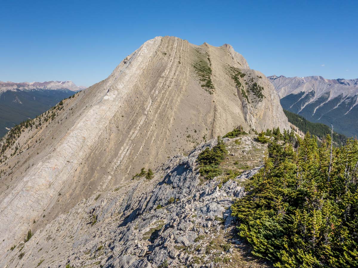
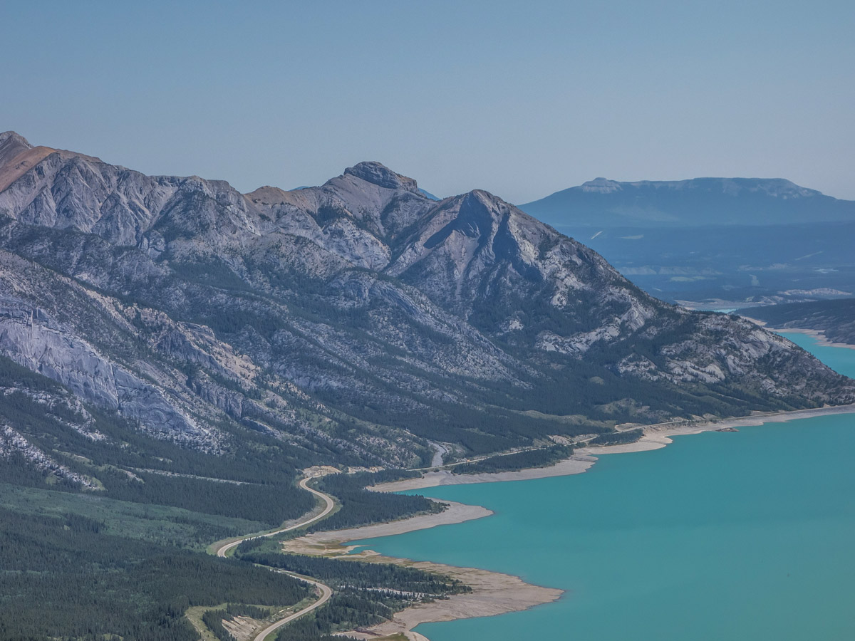
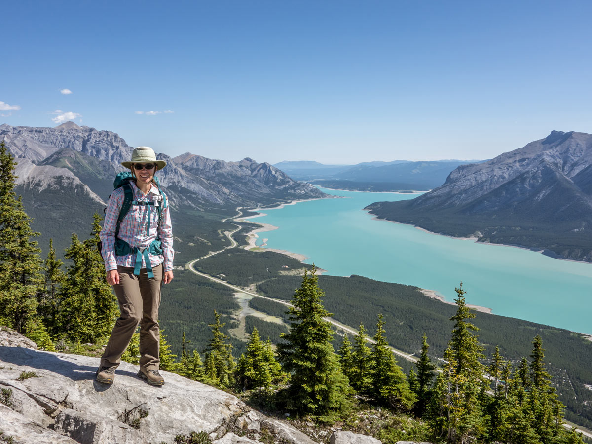
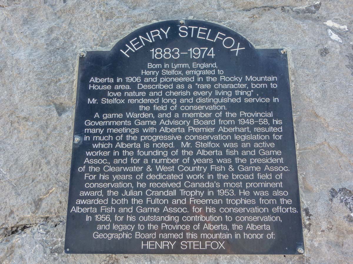
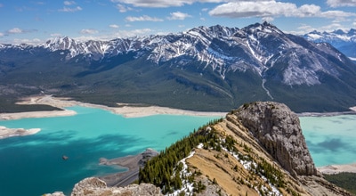
Observe the views surrounding you, from the stunning Canadian Rockies to amazing Abraham Lake below. You will find yourself approaching the Mt Stelfox. The end of the ridge will get you quite close to it! If you are looking for a nice spot for a picnic, we advise you take a break before reaching the very top, as the summit of the ridge only offers the view to Mt Stelfox and surrounding few peaks, leaving the most beautiful vistas behind you.
Retrace your footsteps back the same way you came.
Insider Hints
If you feel like you are on the right path, you can put together a cairn or two along the trail for fellow hikers who are going to attempt to summit the Coral Ridge in the future!
Take a walk all the way to Coral Creek Gorge overlook – the views here are stunning!
Similar Scrambles to the Coral Ridge Scramble
Windy Point Ridge, The Buckle, and Talus Peak
This beautiful scramble to Windy Ridge with an extension to Talus Peak and the Buckle can be called a gem…

Mount Ernest Ross
The trail to the top of Ernest Ross Mount is a little challenging, but a fun scramble. You will find…
Two O-Clock Ridge
The Two O-Clock Ridge Trail is a wonderful scramble near David Thompson Highway. After a short, but steep scramble you…
Comments