Cascade Mountain Scramble
View Photos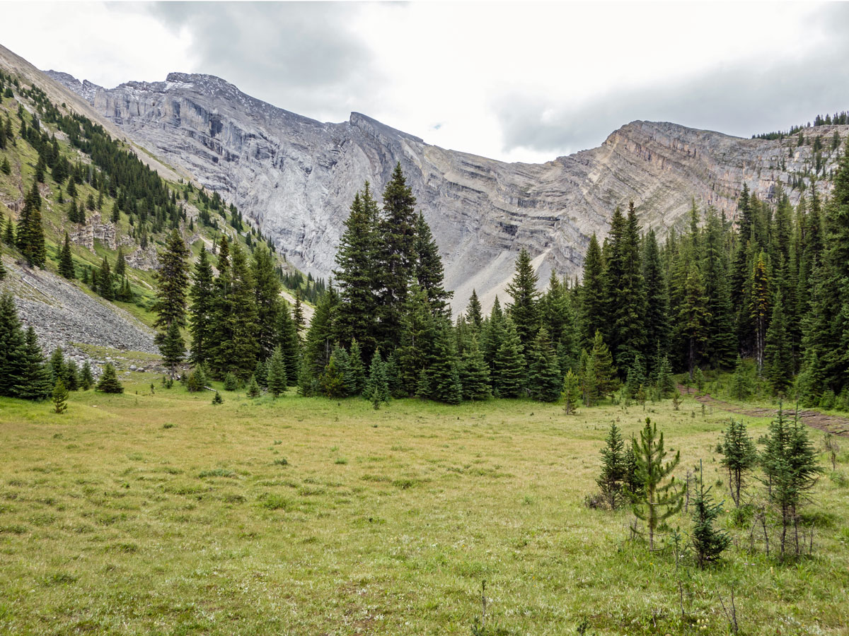
Cascade Mountain Scramble
Difficulty Rating:
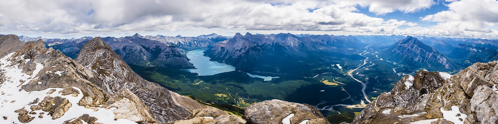
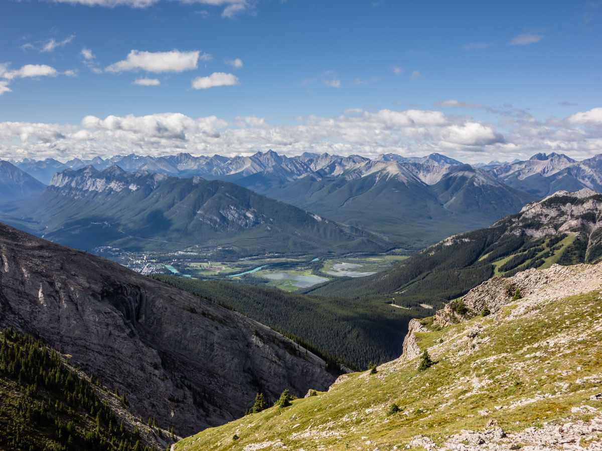
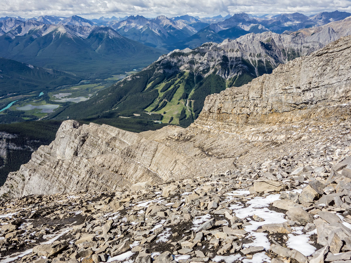
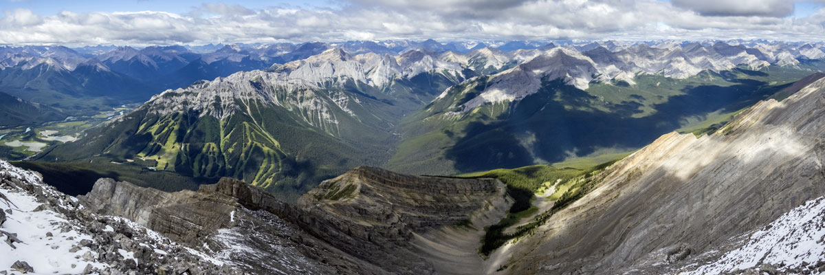
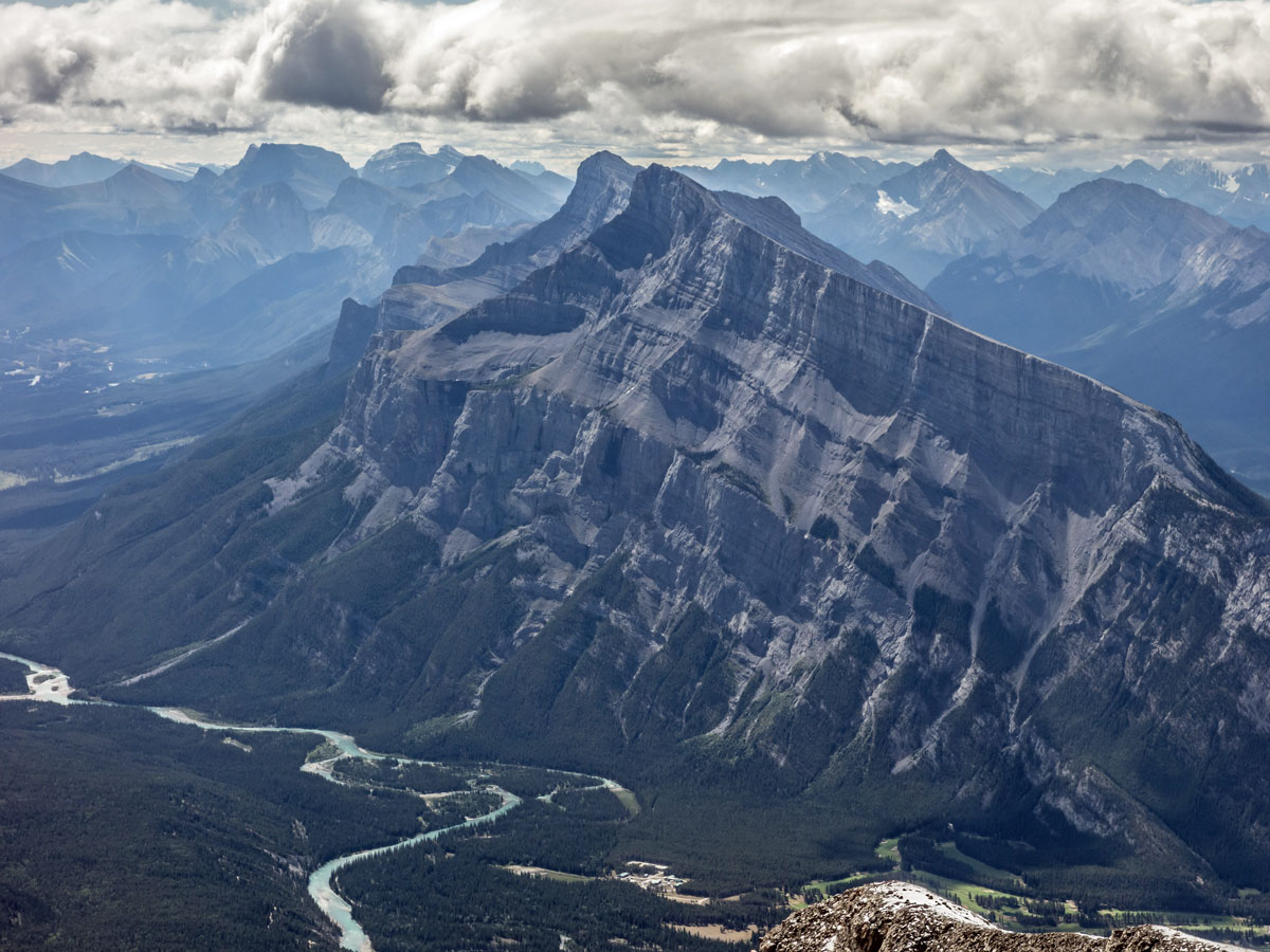
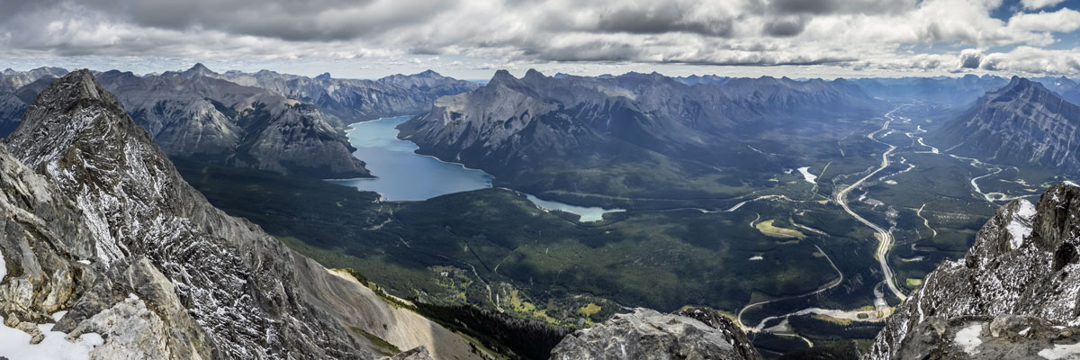
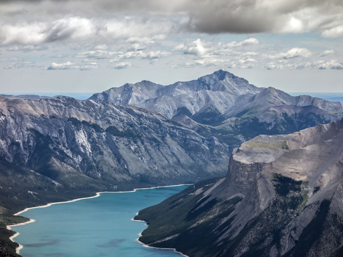
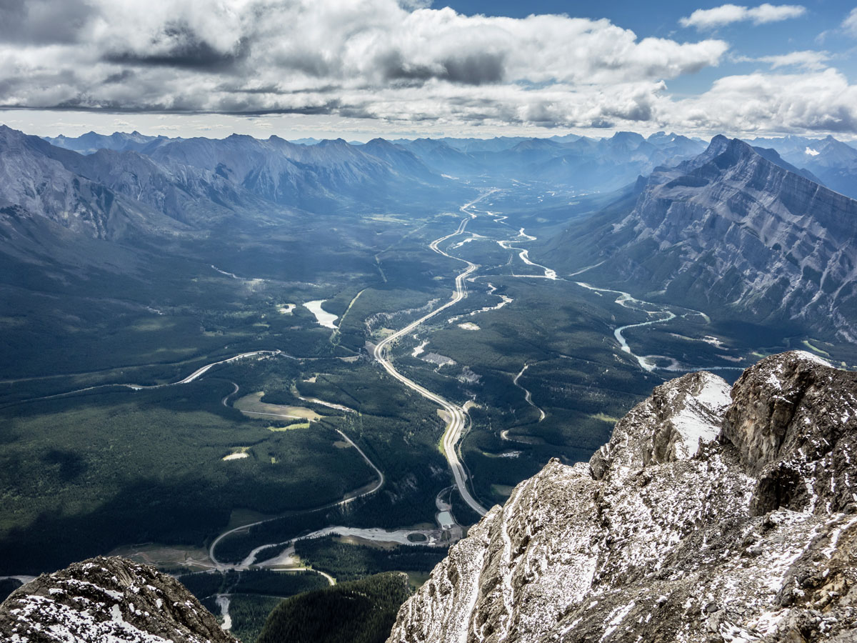
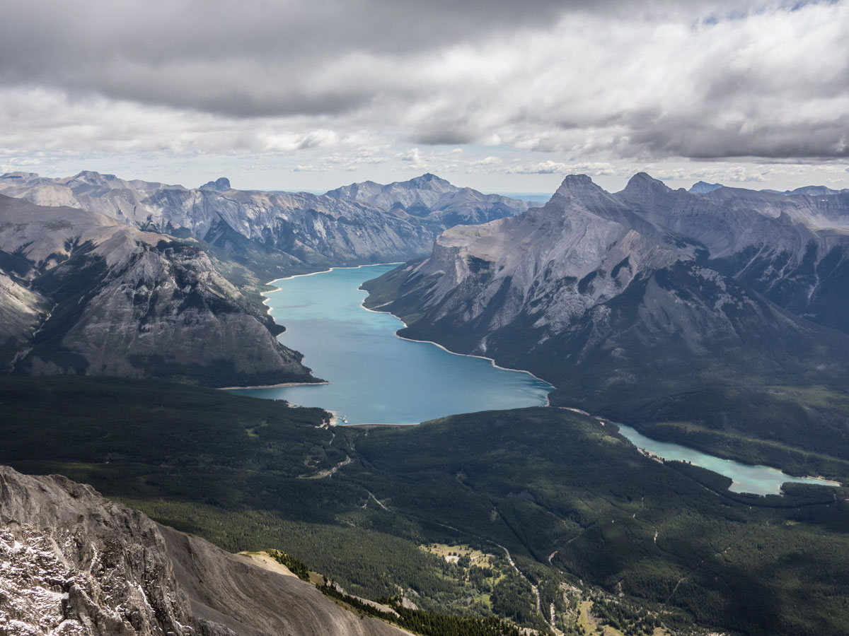
Scrambling up Cascade Mountain is a classic scramble in the Canadian Rockies. Towering over the Bow Valley, the iconic Cascade Mountain provides a spectacular view of Lake Minnewanka, the Banff Town site, and hundreds of surrounding peaks. Avoid this route if there is still snow, or conditions are wet or foggy, at which point the route becomes very dangerous.
Getting there
From Banff, head across Highway 1 to the Mount Norquay Ski Area and park in the parking lot. The trail begins behind Mystic Chairlift.

About
| When to do | July - September |
| Backcountry Campsites | No |
| Toilets | Trailhead |
| Pets allowed | Yes - On Leash |
| Scarmbling Rating | Grade 2 |
| Exposure | Mild |
| Family friendly | No |
| Route Signage | Poor |
| Crowd Levels | High |
| Route Type | Out and back |
Cascade Mountain
Elevation Graph
Weather
Route Description for Cascade Mountain
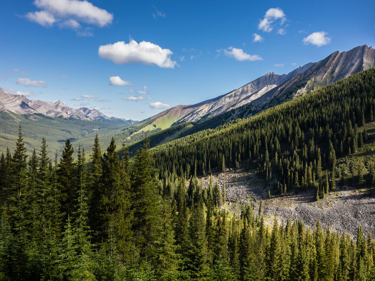
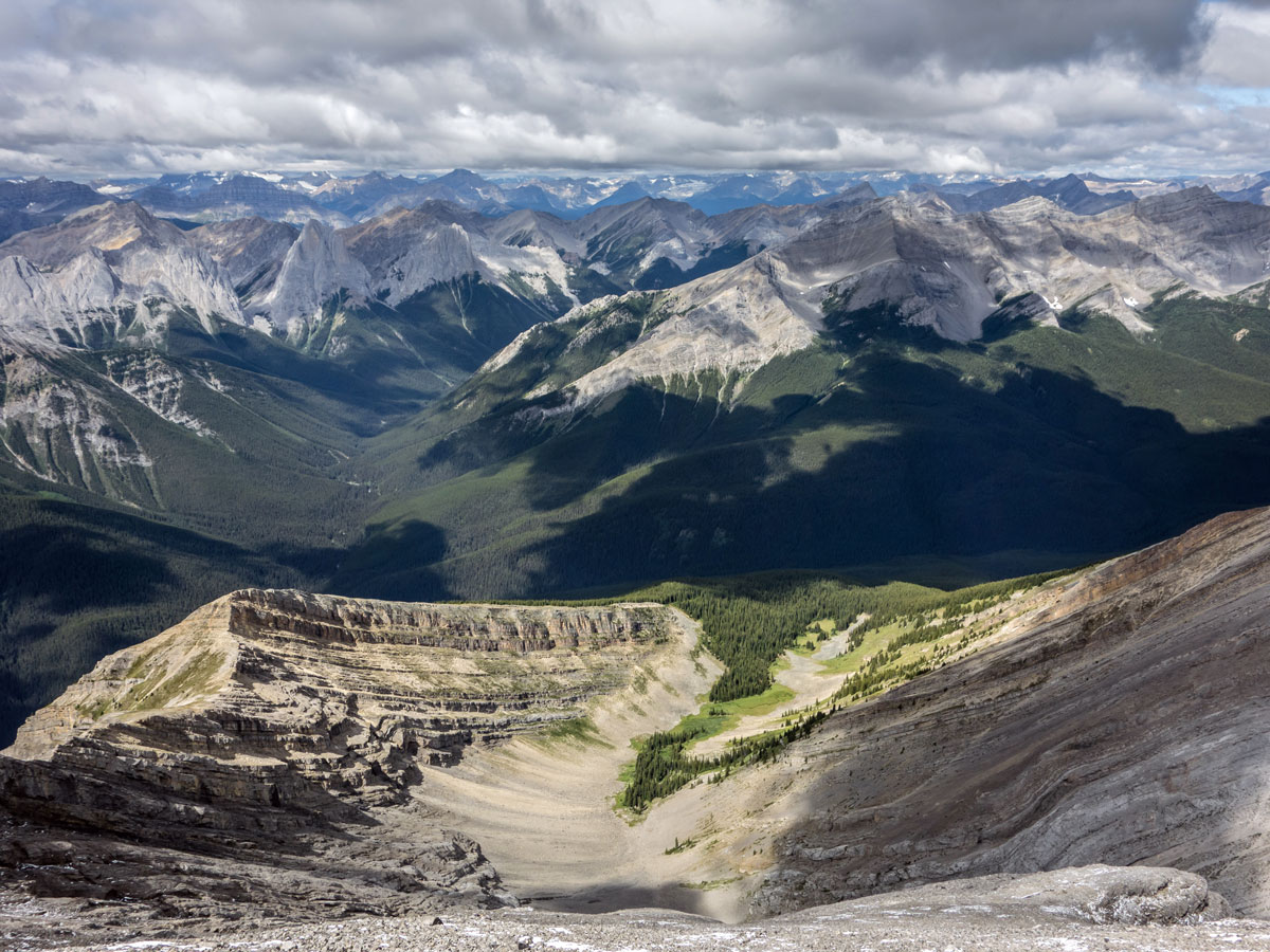
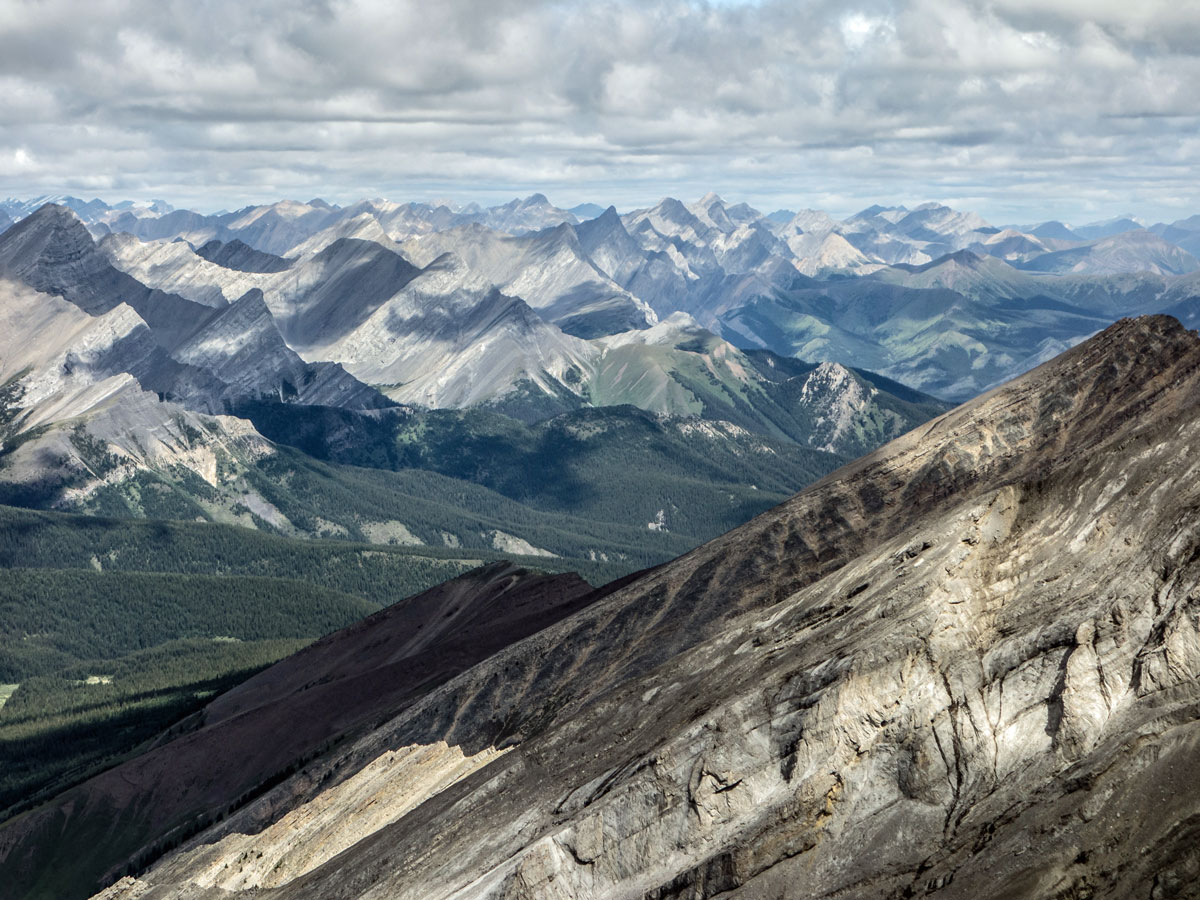
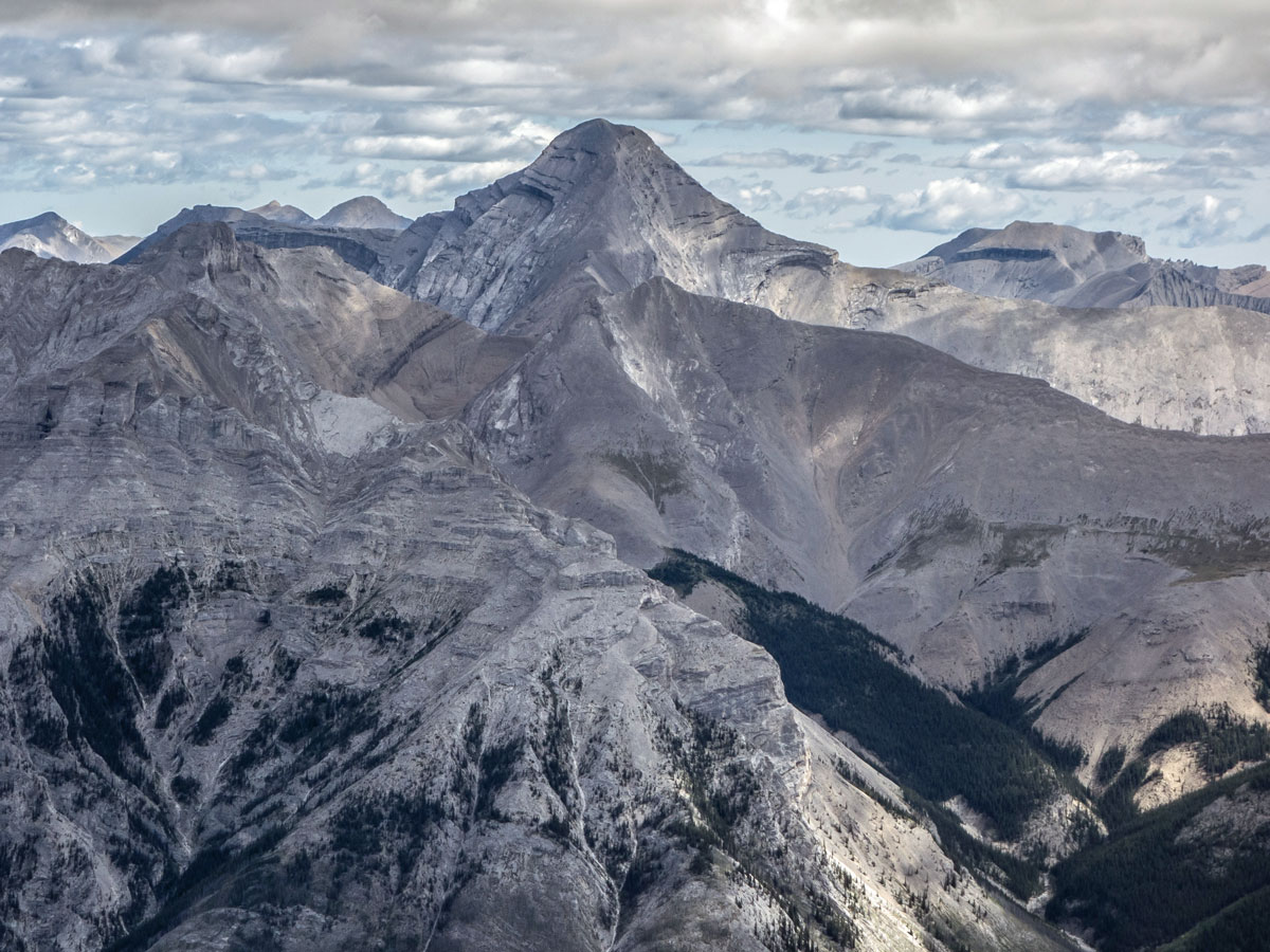
Overall, this is a great scramble. The views above tree line and the varied scrambling terrain, (ranging from boulders, slabs, short down-climbs, and good ol’ scree) more than makes up for the long and sometimes tedious approach.
There are several things worth noting about Cascade Mountain. To begin with, the scramble is incredibly popular and is unfortunately the site of a many serious accidents due to people (incorrectly) believing this is a hike, instead of a scramble. It’s also a bad route to do if it’s wet, snowy or with low cloud, especially on the detour around the false summit which is the crux of the route. In perfect weather with no snow, it’s a good scramble with a few moderate sections of scrambling.
While the most common belief is that the crux of getting up Cascade is the detour around the false summit, it was easier than expected in perfect, dry weather. Had it been wet or snowy it would have been incredibly dangerous, and we would have turned back. The most difficult part for us was a short section of slabs with bits of ball-bearing scree on them.
In terms of the route directions, from the parking lot, follow the trail out past the main lodge and along a service road that goes by the base of the Cascade, Spirit and Mystic Express chairlifts.
The start of the trail is behind the Mystic Chairlift, and the first 1.2mi are gently downhill towards Forty Mile Creek. Unfortunately, this means that you will be hiking uphill on the way back, after a long day!
Continue along the trail following signs for Cascade Amphitheatre. At the creek turn right and follow this trail for 1.5mi, until it branches. Take the path to the right, signposted to Cascade Amphitheatre and you will soon begin the switch-backed ascent to this location. These meadows are a hiking destination in themselves, so expect it to be busy.
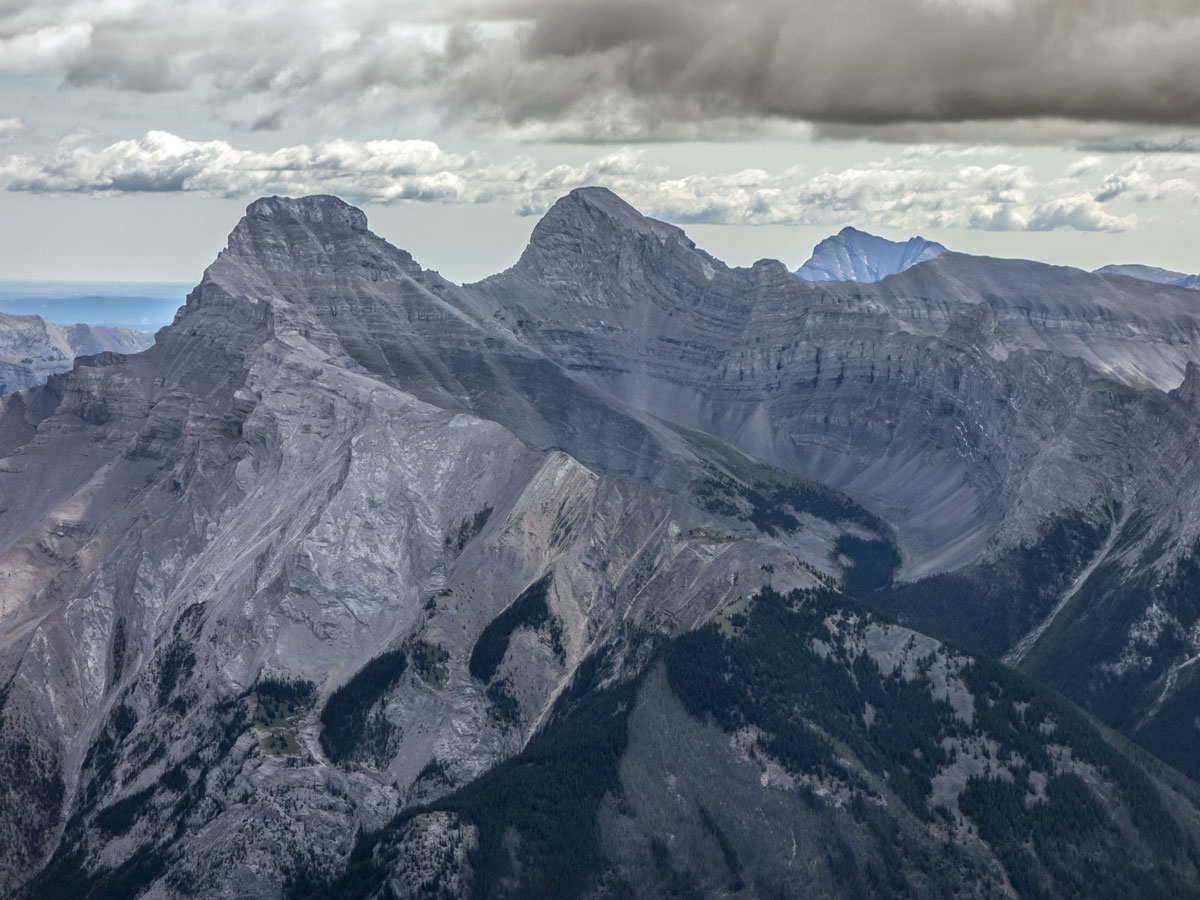
From the meadows you can see the route to the summit, which generally follows the skyline of the cliffs forming the right-hand wall of the Amphitheatre. Along the way you’ll go over an initial peak, head down to a notch, traverse across a false summit and then head up some scree to the main summit.
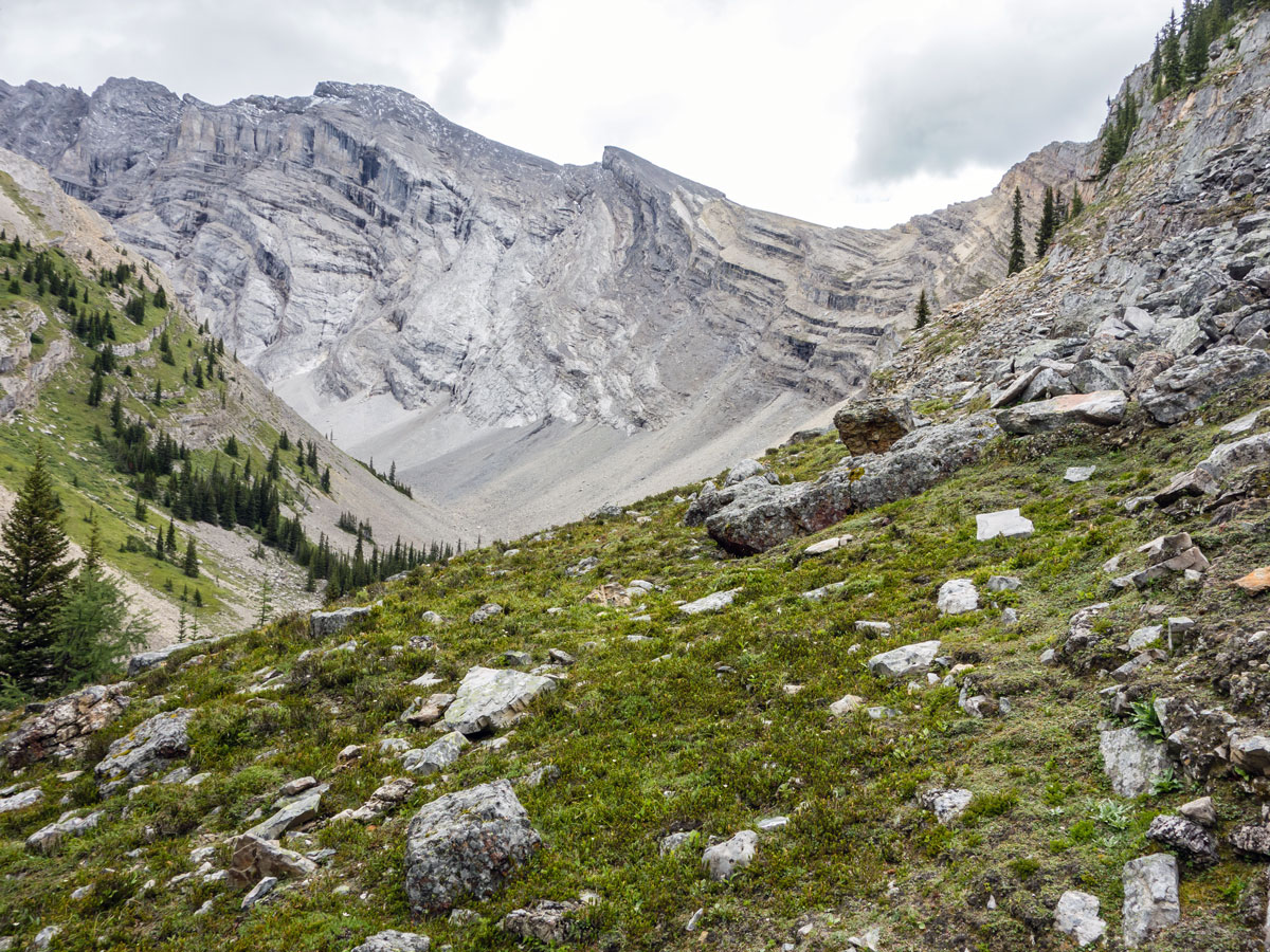
To get up to the ridge, follow the path along the meadow and then take a clear path that goes right off of the hiking trail. This turns into a narrow footpath that leads back to the right towards a steep slope.
Take this path up the slope past the end of the rock cliffs in order to easily and safely gain the top edge of the Amphitheatre cliffs. Follow along the ridge, ensuring you do not traverse left across the steep ledges below the crest of the cliff. You will pass the last trees on the ridge and will then be above the tree line.
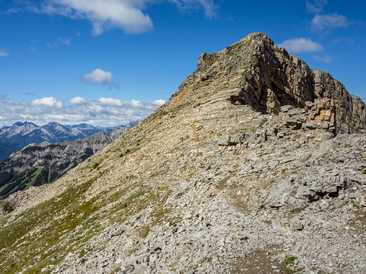
Soon you come to the first peak which is often mistaken for the summit. Don’t take the path that heads off to the right from the trees. Instead remain on the ridge up to the first peak as the footing is likely to be better.
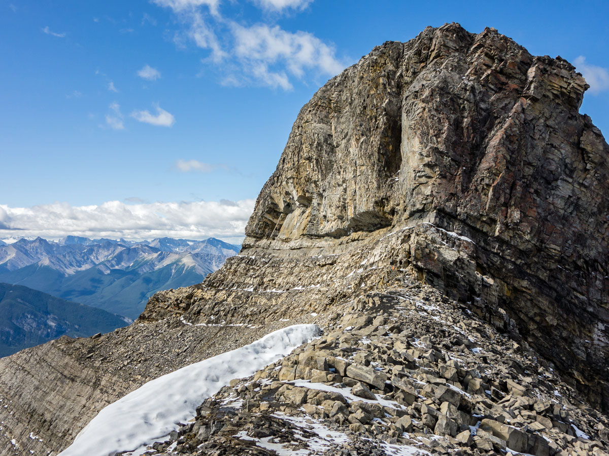
From this peak, you’ll look out and see a false summit above. Continue and descend to the other side to reach a hidden notch. Here, route-finding is required to avoid a dangerous section. Lookout for where the ground on the ridge changes to solid rock, here you’ll have a small, 7ft scramble down to the right. From here, continue on the right side of the ridge until you reach an obvious notch.
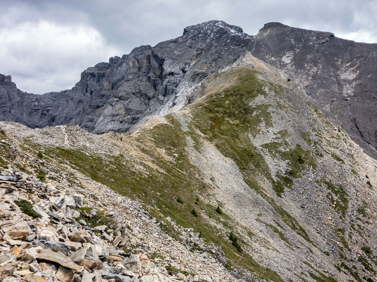
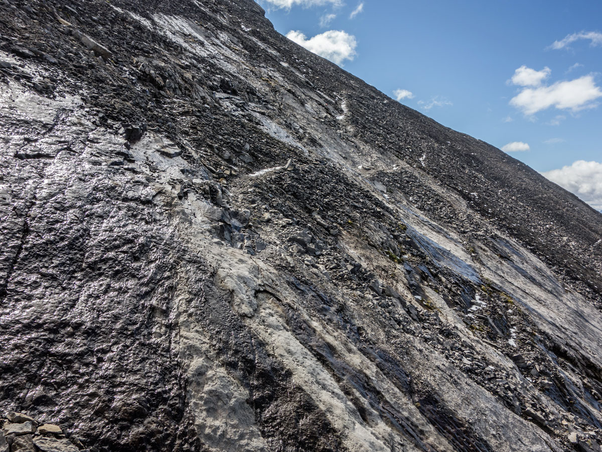
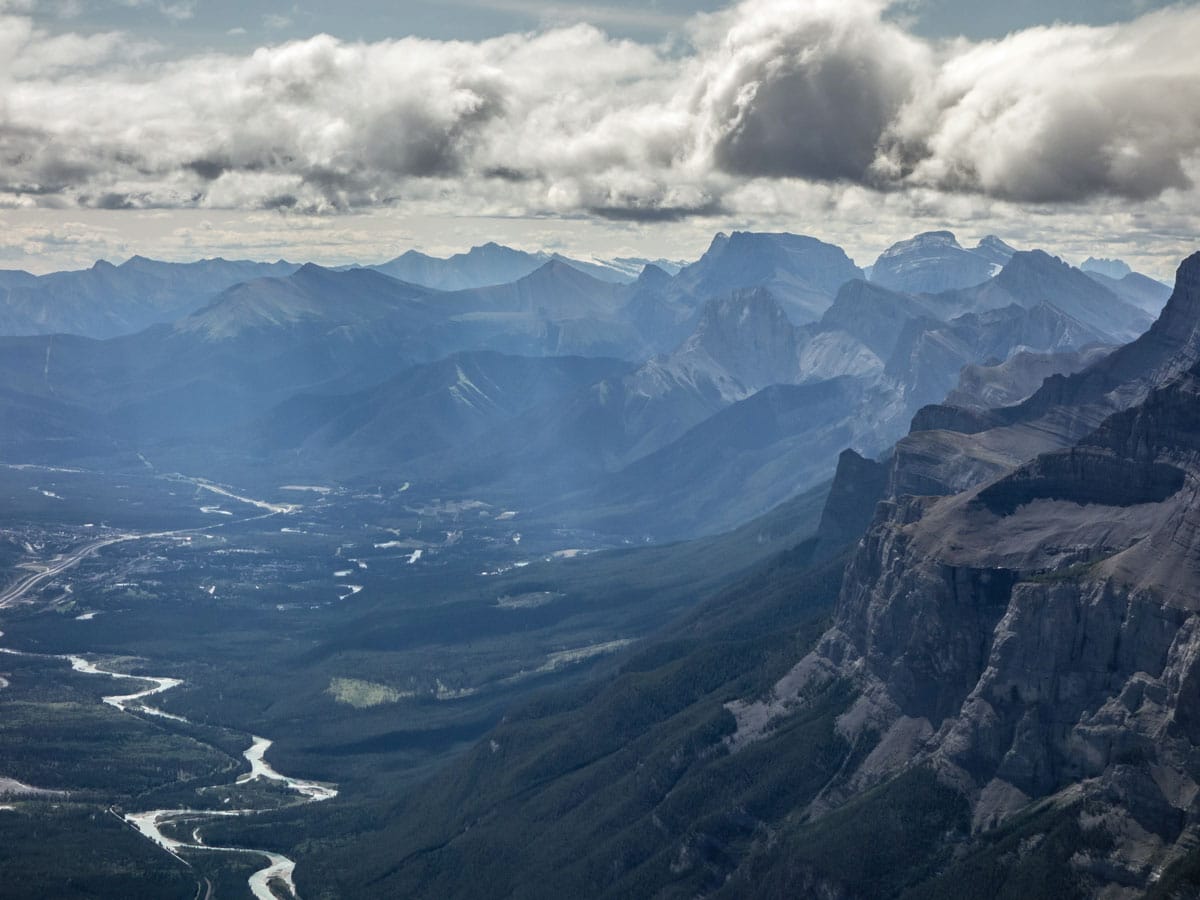
From the notch, ignore the well-worn track that leads straight up to the false summit. That route has technical challenges and should be avoided. Instead, take the narrow trail that leads horizontally right across the 492ft slope to the right-hand skyline, overlooking the Bow Valley.
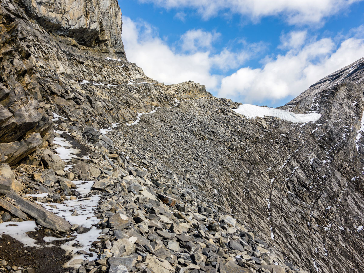
Once you are at the skyline, turn a corner and scramble down a small rock band. Follow a faint trail in the scree along the base of this cliff. In a few minutes you will reach a small ridge on the edge of the last slope which must be crossed to rejoin the main ridge beyond the false summit. This area is very dangerous when snow remains, or it is wet, and it is recommended to turn back here in these conditions.
From a notch below the false summit, scramble up a long scree section to the reach the actual summit, where you’ll find a cairn. While the views are great, stay away from cornices if snow remains.
Return the way you came. Going down technical scrambles are often harder than going up, so take it slow. Also, do not try and shortcut the route down, the safest route is the one described above.
Once you’re back at the trailhead you can be proud that you’ve summited a legendary peak in the Canadian Rockies, climbing almost 5249ft of elevation along the way.
Insider Hints
Banff is just across the way so it is a perfect place to set up base and explore the area - our Trip Guide has all the ins and outs on where to stay and what to do!
This is a big day, so make sure you start early in the day.
This scramble is often done by novices who underestimate their abilities and/or the challenge of this route. This scramble has been the source of serious accidents. Make sure you have the proper training and expertise if you attempt this scramble. Do not attempt if there is snow, low cloud or if it’s wet.

Similar Scrambles to the Cascade Mountain Scramble
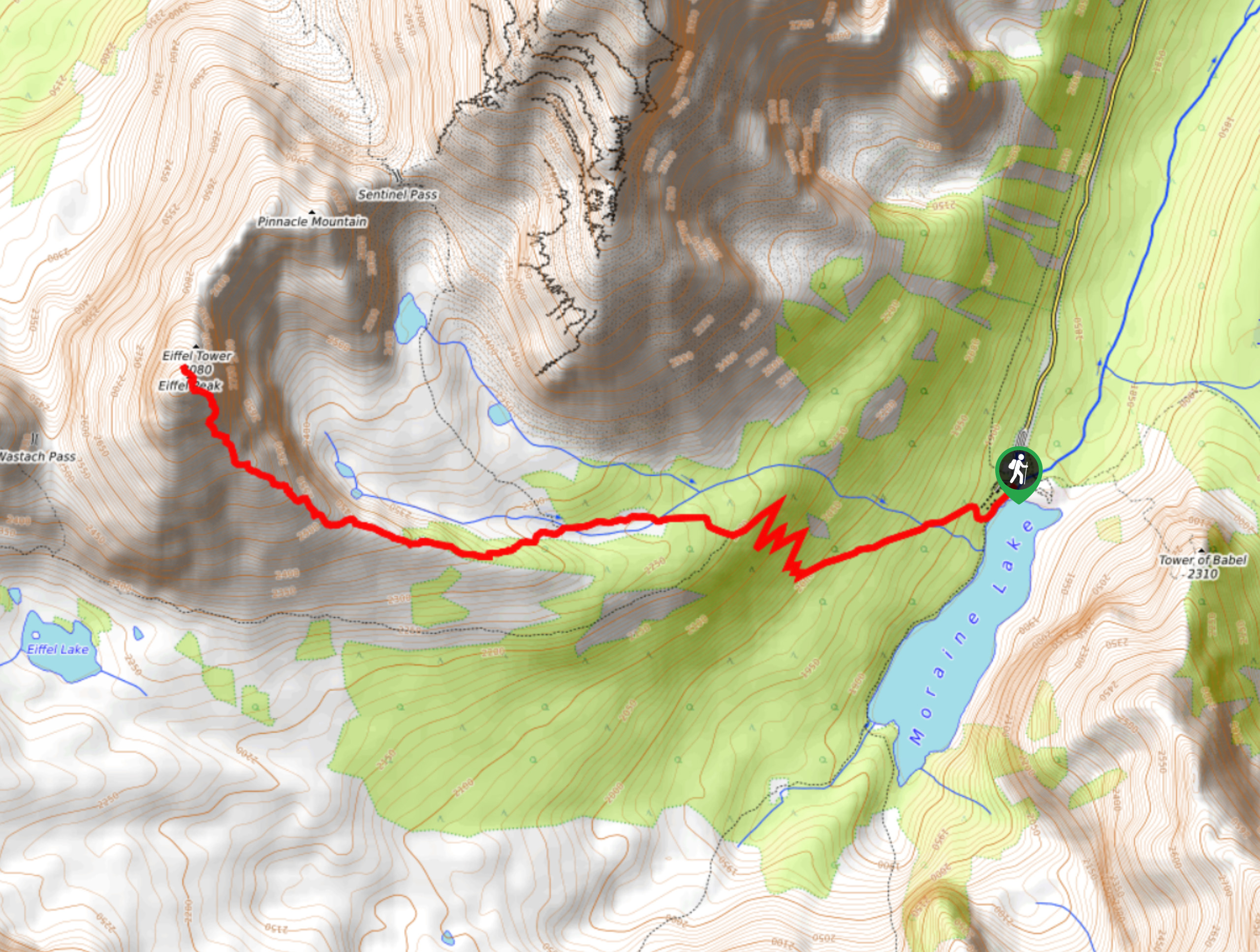
Eiffel Peak
Eiffel Peak isn’t frequented by many who make their way to Moraine Lake. It is a difficult scramble with less…
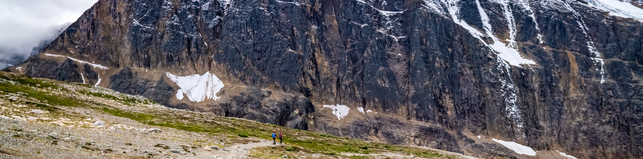
Mount Edith
Mount Edith scramble begins with the unsuspecting Cory Pass hike before branching off to the right to begin gaining Mount…
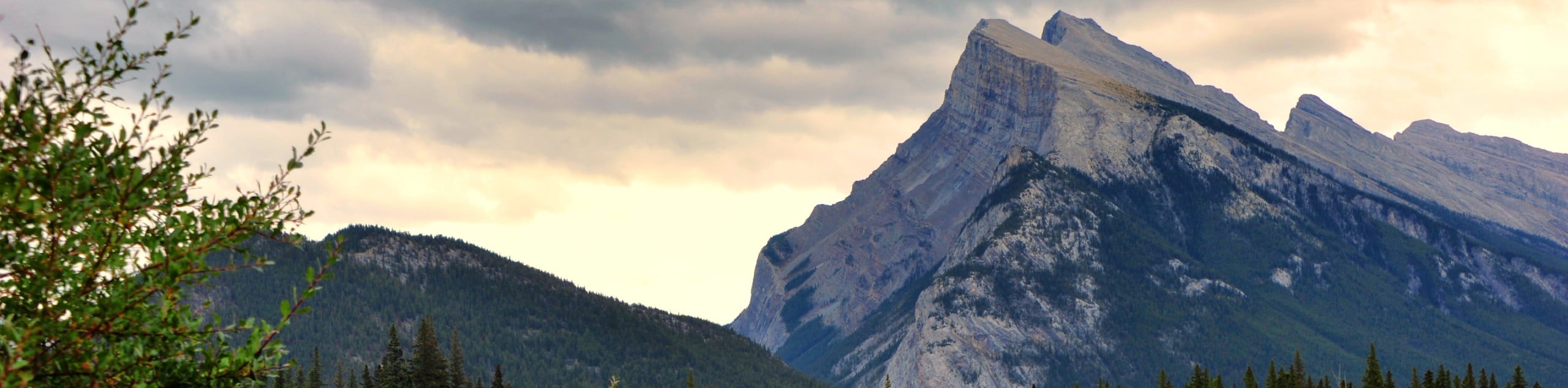
Mount Rundle
Locals stare at Mount Rundle day in and day out, enough to acquire a personal relationship with the impressive feature.…
Johnny T 5 years ago
It was a bit wet. Really hard scramble. Would recommend.