North Calgary Loop Road Biking Route
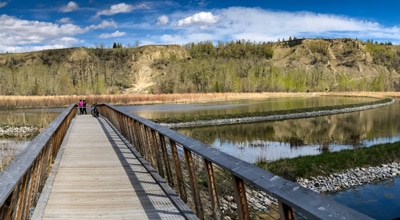
View Photos
North Calgary Loop Road Biking Route
Difficulty Rating:
Experience some of the highlights of Calgary on the North Calgary Loop biking trail. Pass by the Calgary Zoo, West Nose Creek Park, and through Downtown Calgary for some exceptional city views.
Getting there
From Downtown Calgary, drive along 5 Ave SE and Memorial Dr. Turn right onto Barlow Trail SE and turn right into the Max Bell Centre parking lot.

About
| When to do | March-November |
| Family friendly | No |
| Route Signage | Average |
| Crowd Levels | Moderate |
| Route Type | Lollipop |
North Calgary Loop
Elevation Graph
Weather
Route Description for North Calgary Loop
You can start the North Calgary Loop biking trail from multiple spots. If you live in the north, it’s easy to bike onto this trail anywhere and make the loop. If you’re coming from the south, we suggest parking at Max Bell Arena, which has free parking.
This trail can be done in either direction, but counter clockwise is best in our opinion, as the entire ride back is spectacular with views of Downtown Calgary.
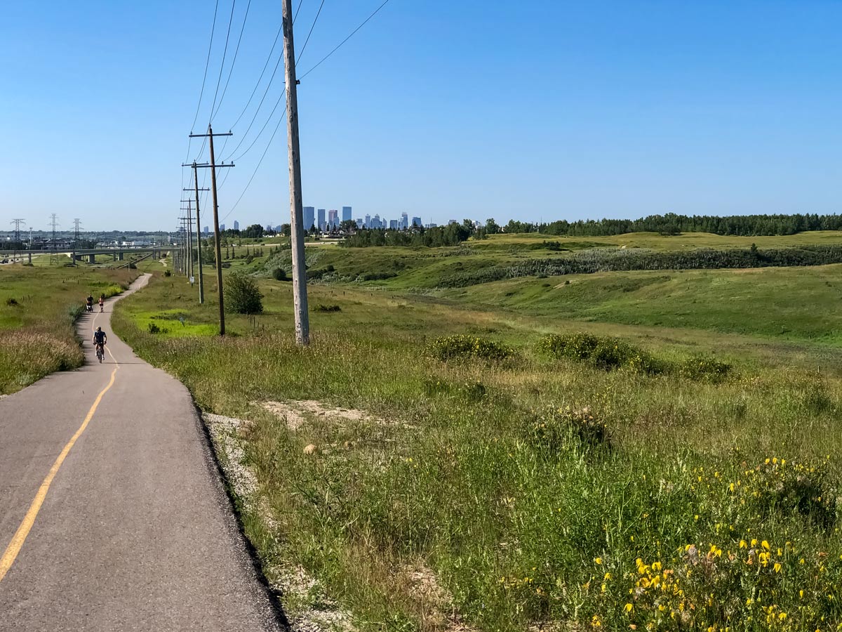
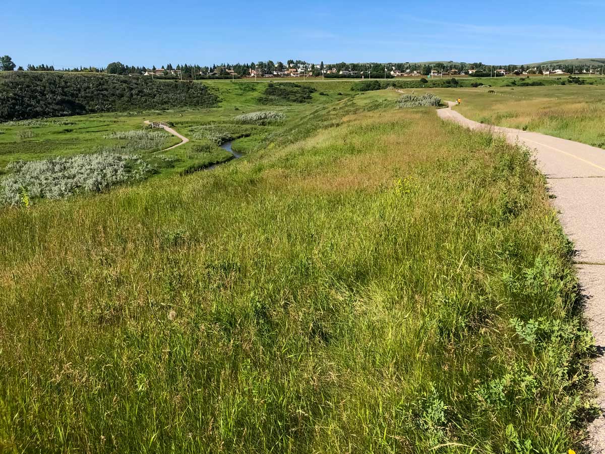
Start by riding down from Max Bell Arena towards the Calgary Zoo. After you cross over a bridge, just before the zoo, the path splits.
Head right, away from the zoo and Bow River, onto the Nose Creek Pathway and in the direction of Telus Spark. This route follows up Nose Creek Pathway for quite some time.
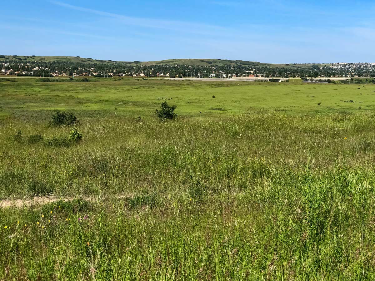
This route passes through an interesting part of Calgary—through the Saint George’s Heights and Renfrew neighbourhoods, before arriving at the Fox Hollow Golf Course, which you’ll ride through.
Continue to follow the Nose Creek Pathway, past where the Nose Creek joins Confederation Creek, making a slight turn left onto Goddard Ave. NE, where you’ll cross the road and rejoin the Nose Creek Pathway on the other side.
Veer off the Nose Creek Pathway onto 4 St NE and just before the street veers to the left, stay right and rejoin the Nose Creek Pathway heading up and through the Thorncliff Off Leash Dog Park.
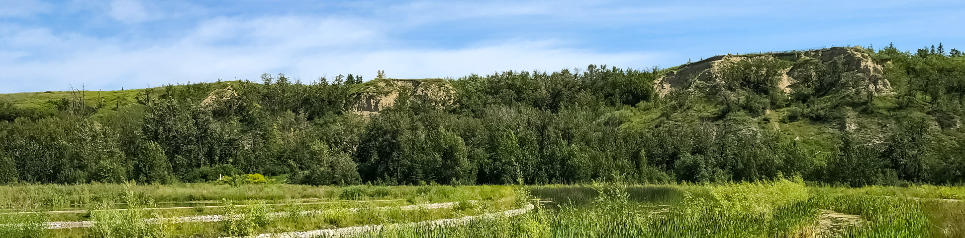
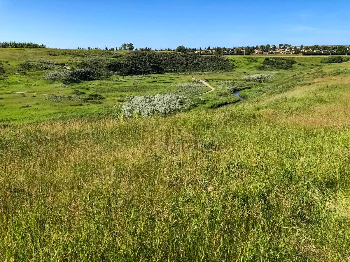
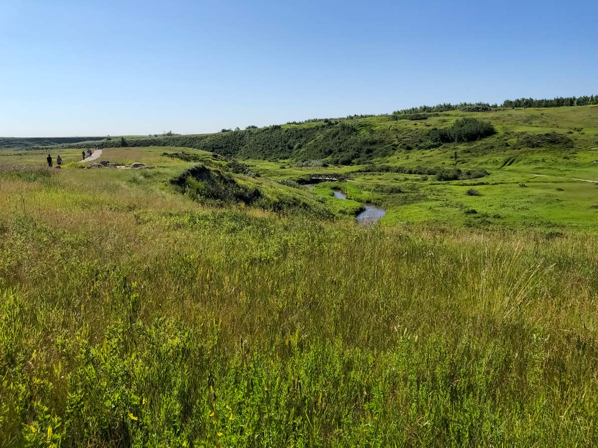
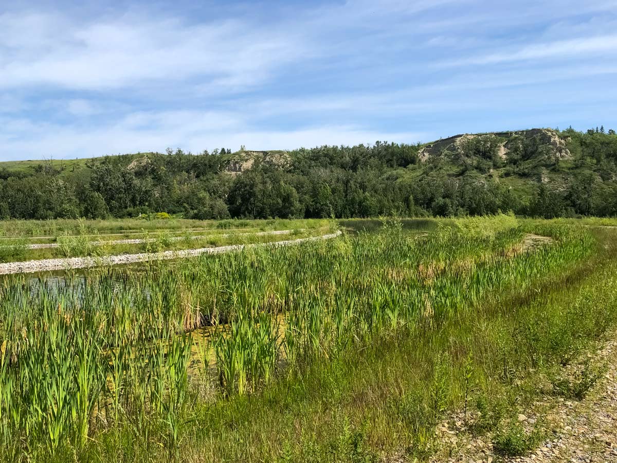
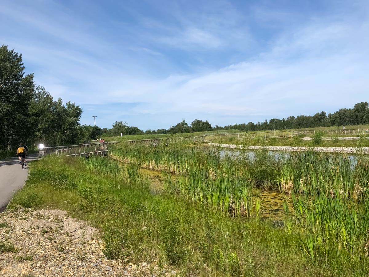
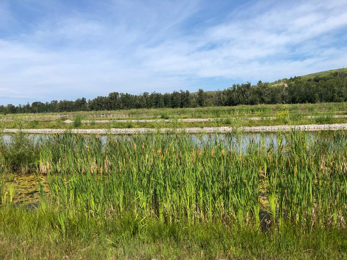
Continue to follow the Nose Creek Pathway under 64 Ave. NE and soon come to West Nose Creek Park / Confluence Park, where you’ll ride left at your second junction and then your first right on Nose Creek. The park is tranquil and peaceful, so feel free to hop off and explore on foot if you’d prefer.
Peddle past Split Rock, or feel free to stop and take a picture here, following the Nose Creek Trail under the Harvest Hills Blvd N.
You eventually come down on the pathway as it goes near Beddington Trail.
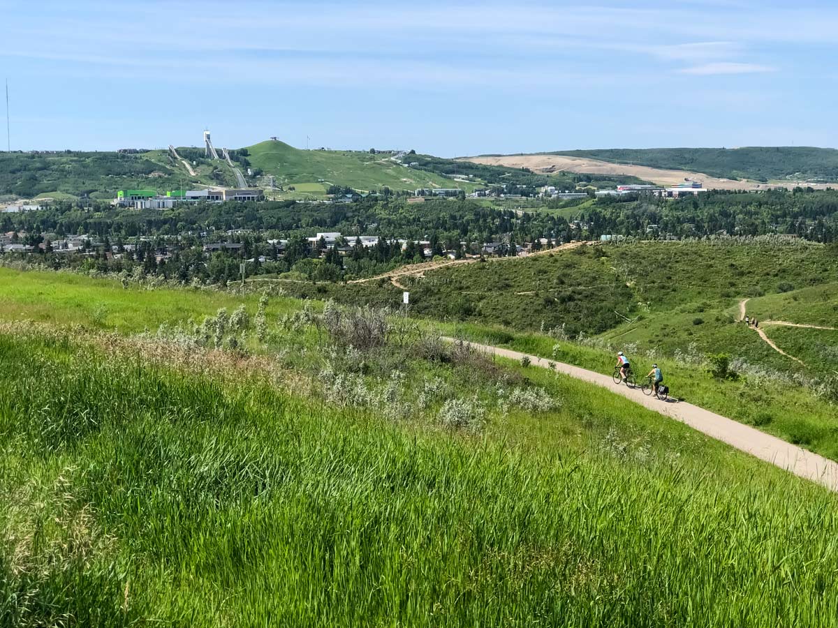
At Country Hills Blvd, you go right and the trail connect to an upper path that provides nice views, as it contours the upper edge of Country Hills Golf Club and Hidden Valley Park.
Turn left onto Hidden Creek Way NW, then left onto Hidden Creek Blvd NW. From here turn right onto Hidden Creek Dr. NW before coming back down and crossing over Beddington Trail NW.
This next part of the path can be confusing, however you are following a series of paved pathways that take you through Hidden Ranch, MacEwan and Edgemont. These pathways take you through some very pretty ravines and along some creeks, eventually spitting you out at Edgepark Blvd NW, where you go left. Just ensure you stay on the paved pathways, don’t veer off onto the main roads.
At Edgemont Blvd, go right and speed down the hill, coming to John Laurie Blvd, where you continue straight and the road turns into 53 St. NW.
Follow 53 St. NW all the way until it ends at a T-intersection and go right on Varsity Estates Drive. Follow the loop and eventually turn right on Varsity Estates Place NW.
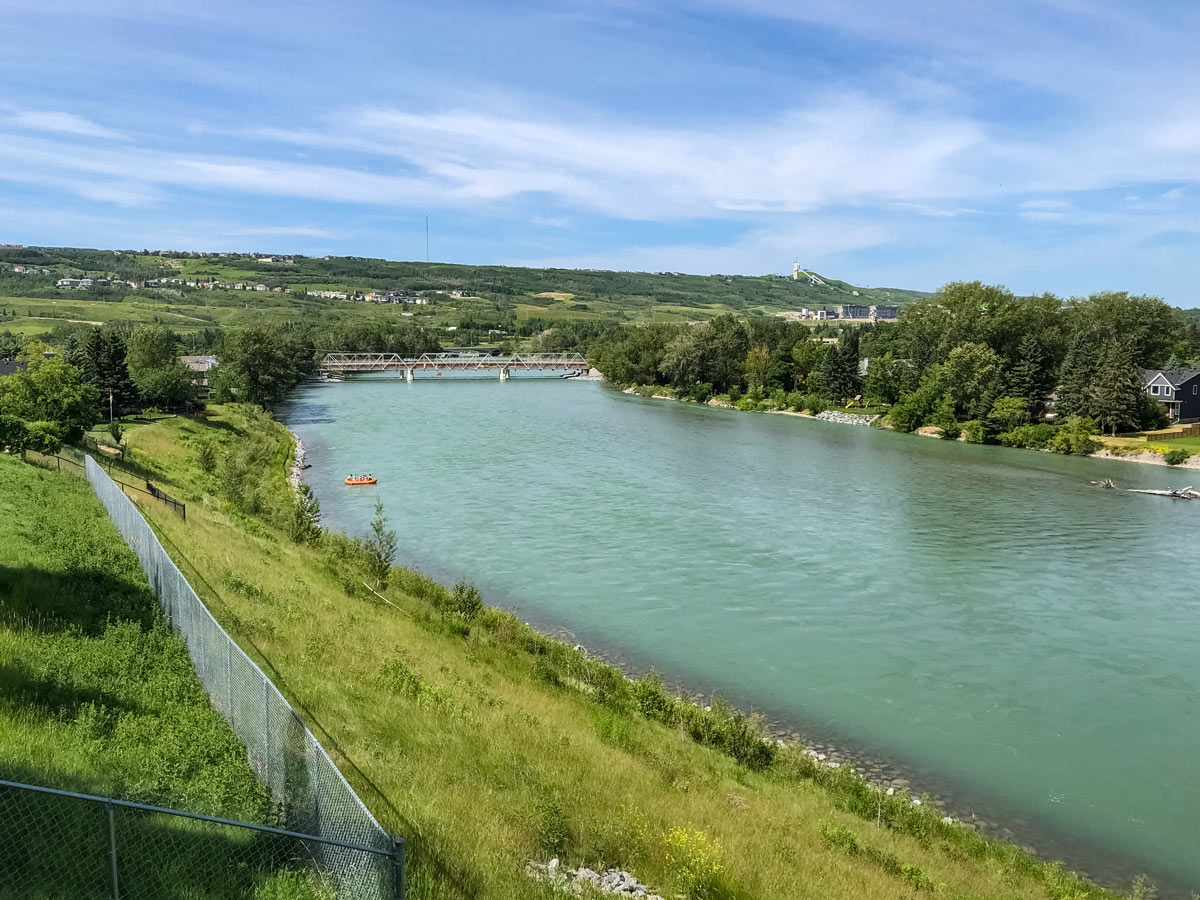
Take a left on the pathway that parallels Silver Springs Gate NW and then goes left, down to the Bow River Pathway, via. Silver Springs Blvd NW and 54 Ave. NW.
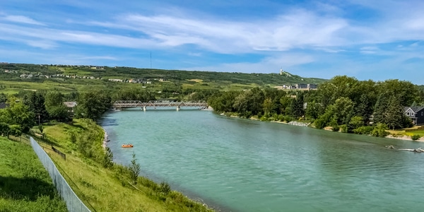
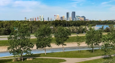
Now is the best part of the loop, as you go south along the Bow River Pathway through pretty Bowmont Park, Dale Hodges Park, Shouldice Park, following along 13 Ave. NW.
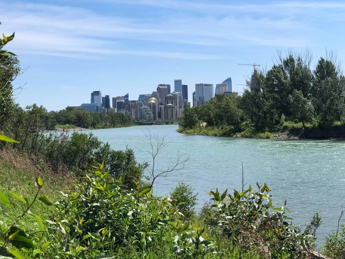
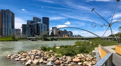
Eventually, the path runs parallel to Parkdale Blvd and then Memorial Drive, where you’ll be rewarded with stunning views as you ride into Downtown Calgary.
Pass the Peace Bridge, but stay on north side of the Bow River. You can look across the water at downtown Calgary, Eau Claire and eventually East Calgary, before riding beside the Calgary Zoo, and coming back to the bridge where you went north.
From here ride back to Max Bell Arena parking lot.
Insider Hints
On the North Calgary biking route, you’ll pass through a few golf courses. Be cautious of golf balls flying overhead and golf carts.
Similar Road Biking Routes to the North Calgary Loop Road Biking Route
Bow River Pathway to Bowness
Riding the Bow River Pathway is an incredibly scenic ride in Calgary. Set out on the Bow River Pathway in…
Tour de South Calgary
If you wish to experience the true highlights of Calgary from two-wheels, try the Tour de South Calgary biking route.…
Downtown & Nose Hill Park
Kick off the Downtown & Nose Hill biking trail riding through the Calgary Zoo, peddling past pretty parks and exploring…
Comments