Hepworth and Roof Peaks Trail
View Photos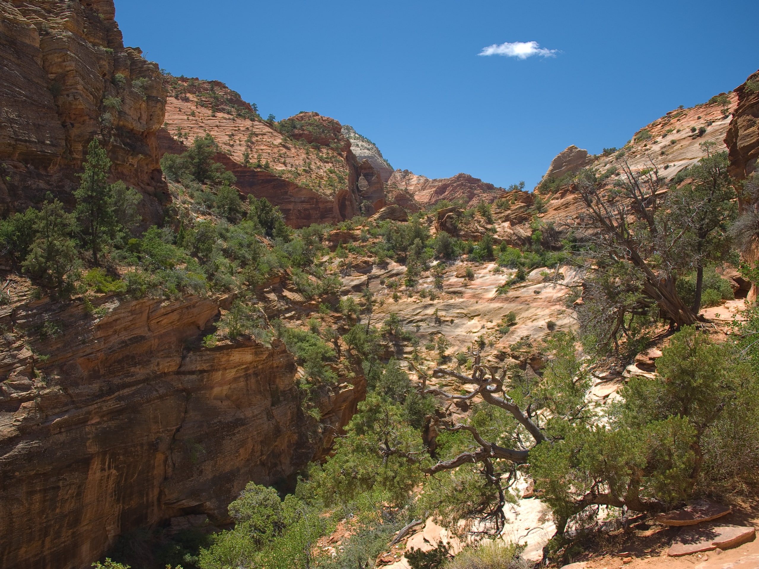
Hepworth and Roof Peaks Trail
Difficulty Rating:
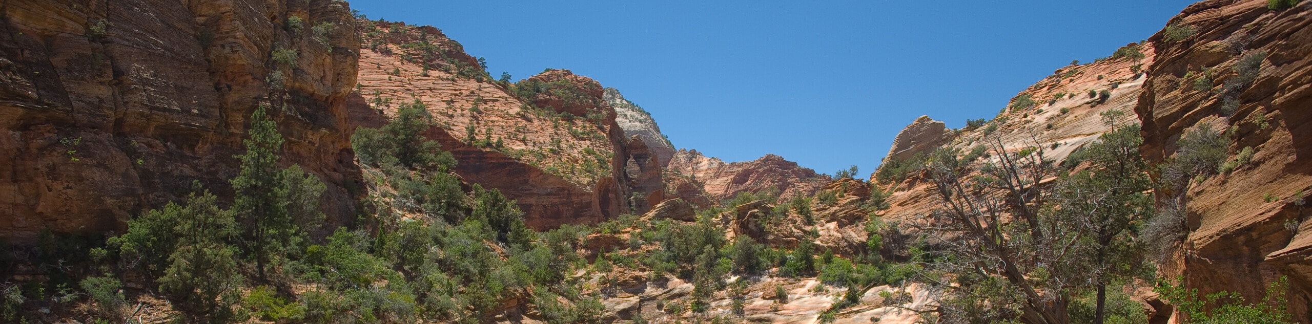
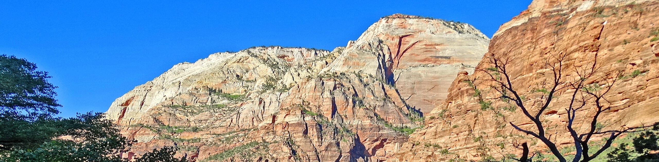
The trail up to Hepworth and Roof Peaks is a rugged path up and off Gifford Canyon Wash that requires route-finding and scrambling. The views from the top are totally worth the effort. This trail is a great choice for experienced hikers looking to have an adventure away from the crowds of the main canyon.
Getting there
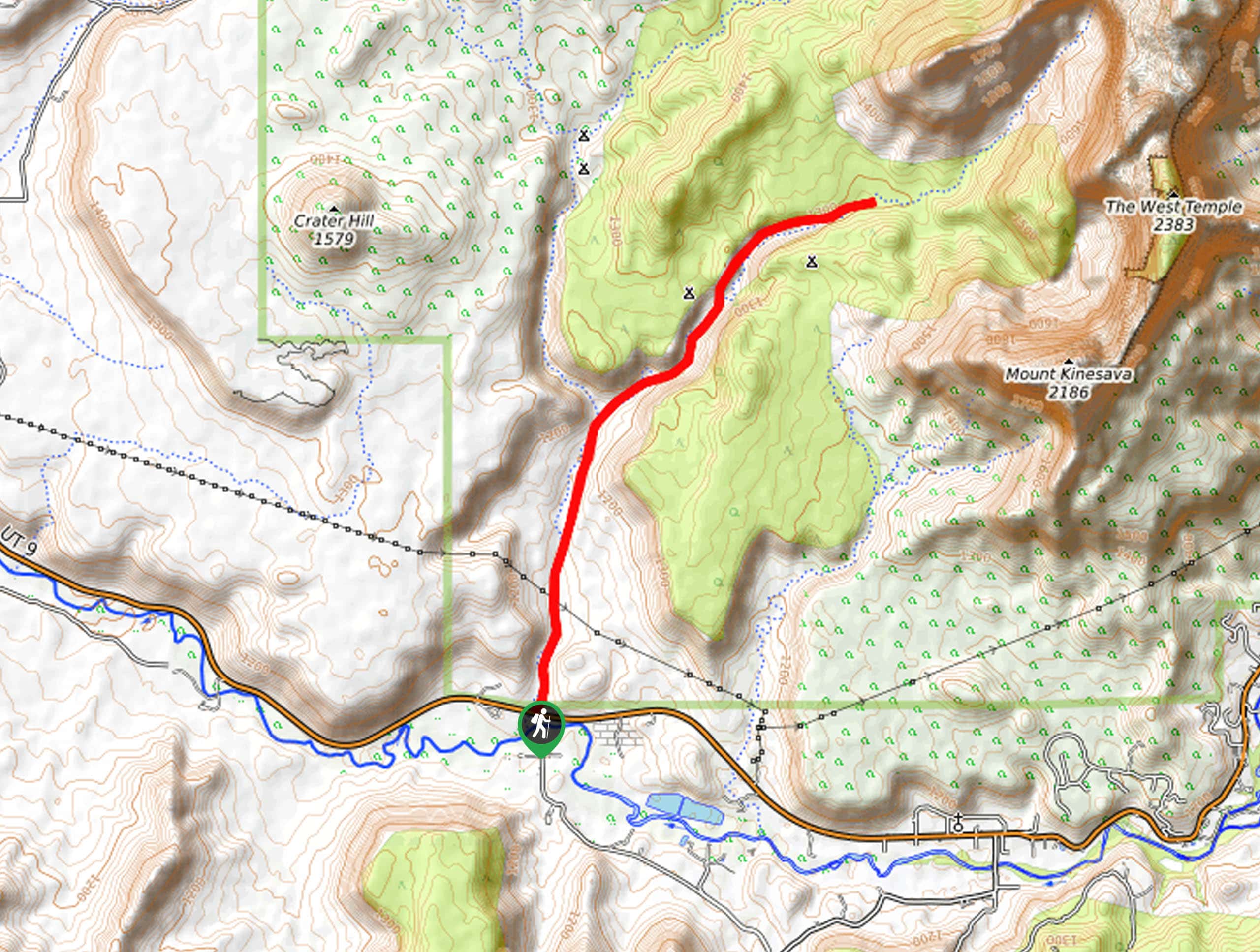
Park at the Canyon Overlook Parking lot, just past the Zion—Mount Carmel Tunnel on route 9, east of Springdale, UT.

About
| Backcountry Campground | No |
| When to do | March to October |
| Pets allowed | No |
| Family friendly | No |
| Route Signage | None |
| Crowd Levels | Low |
| Route Type | Lollipop |
Hepworth and Roof Peaks Trail
Elevation Graph
Weather
Hepworth and Roof Peaks Trail
The trail up to Hepworth and Roof Peaks is a fantastic desert adventure for experienced hikers who are comfortable with route-finding and scrambling. This trail is not marked, so using a GPS and downloaded map can be a huge help with safe route-finding. Although this trail is not long, the terrain is technical, so give yourself plenty of time to complete this hike and bring lots of water and a headlamp just in case; you don’t want to be downclimbing in the dark. The Hepworth and Roof Peaks trail gets little traffic compared to the rest of the routes in Zion, so you might just be lucky enough to have the trail and the views all to yourself!
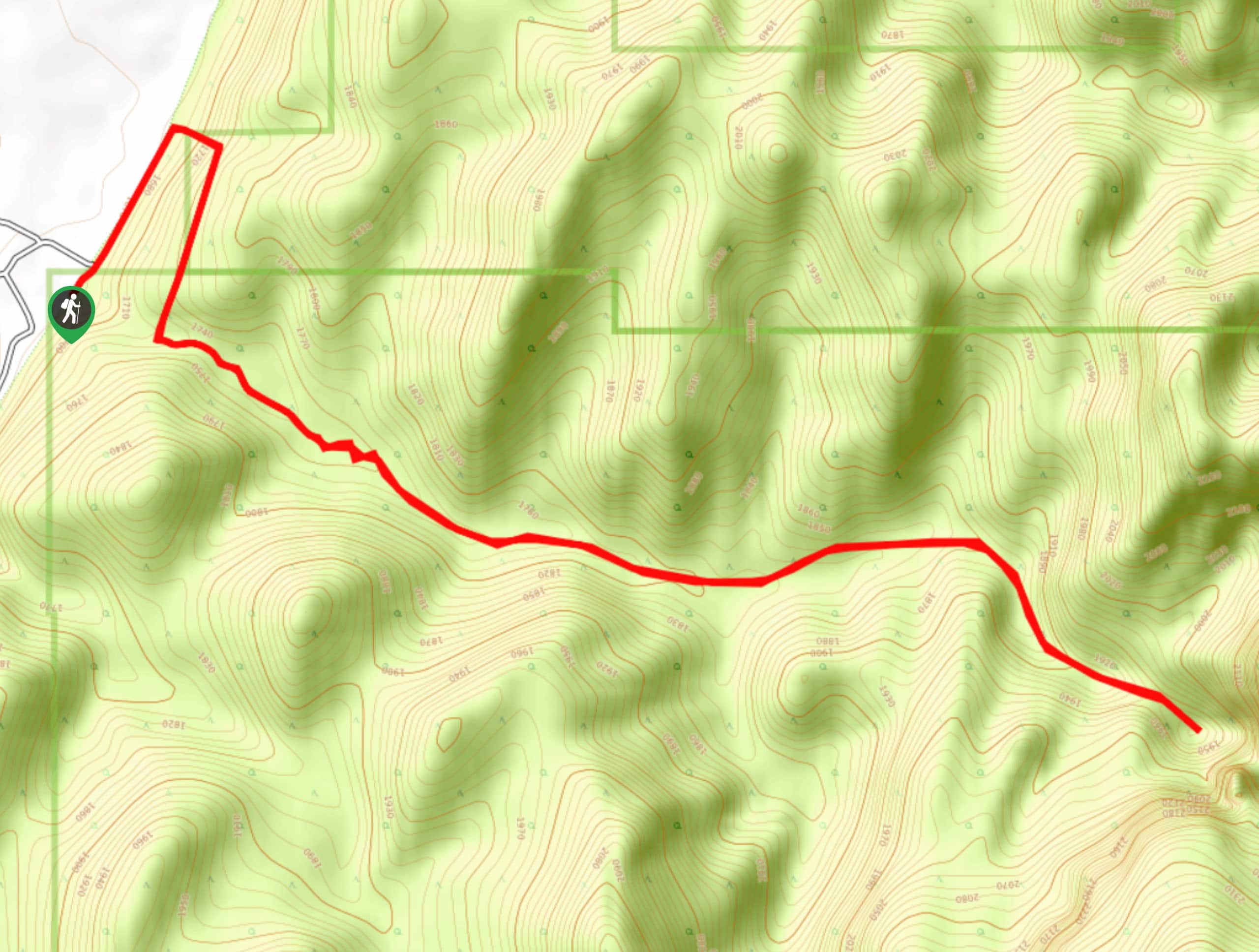
From the parking lot, find the path just next to the outhouse that heads down into Pine Creek. On the left hand side of the Gifford Canyon Dryfall, there is an unmaintained trail that leads up vegetated slickrock. Scramble your way up this trail until you are on even ground. Make your way around the shelf ahead to the mouth of Gifford Canyon. Follow the canyon wash for about 0.7mi until you see a large pine tree standing in the middle of the wash dividing it in two; follow the path on the right. You are gradually going to make your way south west following a cliff face on your right-hand side for about 0.5mi to a plateau. Follow the plateau south to a large east/west drainage. From this drainage, you can scramble up to Hepworth Peak on the north side and Roof Peak on the south side.
After ascending both peaks, follow the large drainage eastward until it meets up with a north/south drainage. This north/south drainage is Gifford wash—where you began. Follow the wash out north and it will lead you back to the parking lot!
Similar hikes to the Hepworth and Roof Peaks Trail hike
Scoggin’s Wash
The Scoggin’s Wash Trail is a true desert hike that links the more popular Coalpits Wash Trail with the iconic…
Camp Creek Trail
The Camp Creek Trail is a rarely visited path down a beautiful box canyon in the Kolob section of Zion.…
Elephant Temple via The Riverside Walk
The hike through the Narrows to the base of Elephant Temple is a challenging day hike through one of the…
Comments