
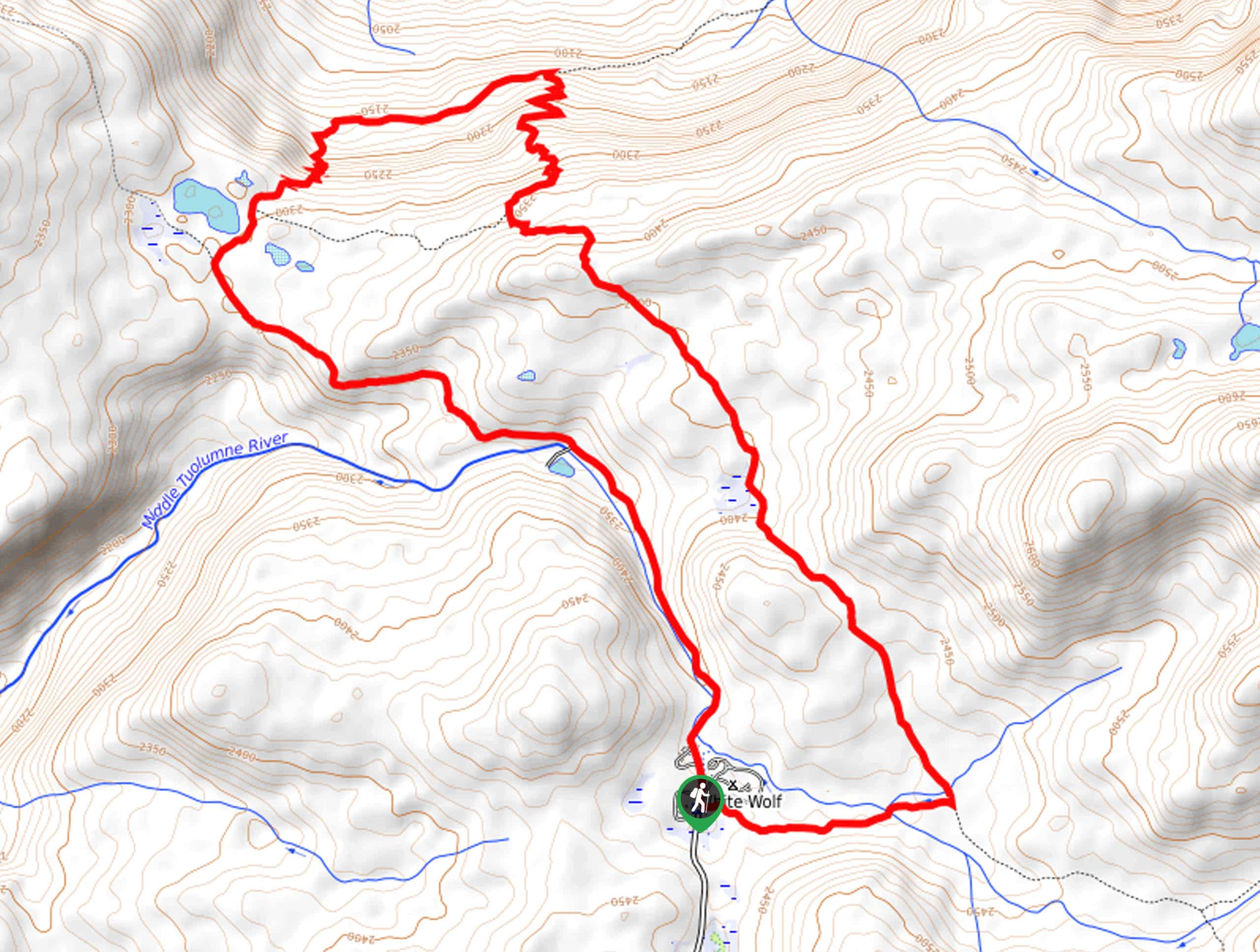
White Wolf to Pate Valley Trail
View Photos
White Wolf to Pate Valley Trail
Difficulty Rating:
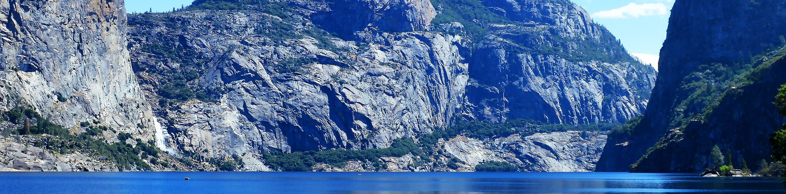
Immerse yourself in the lush wilderness of Yosemite National Park along the White Wolf to Pate Valley Trail. Adventure through mixed pine forests and meadowlands down into Pate Valley, which reveals views of the granite domes through the tree breaks. This trek would be a great addition to your Yosemite itinerary.
Getting there
The White Wolf to Pate Valley Trail departs from the trailhead across the street from the White Wolf Lodge off White Wolf Road.

About
| Backcountry Campground | White Wolf Campground |
| When to do | April-September |
| Pets allowed | No |
| Family friendly | Older Children only |
| Route Signage | Poor |
| Crowd Levels | Moderate |
| Route Type | Circuit |
White Wolf to Pate Valley Trail
Elevation Graph
Weather
White Wolf to Pate Valley Trail Description
The White Wolf to Pate Valley Trail is a great intermediate-length hike in Yosemite that features breathtaking scenery as you wander through diverse landscapes. This route is ideal for those seeking to get their heart rate up without encountering too much technicality along the trail. Note: the path weaves between tree shade and exposed terrain, so we suggest wearing layers and bringing sun protection. Additionally, a sturdy pair of footwear will prove useful, as sections of the terrain are rocky and uneven. The National Park charges an entrance fee; refer to the NPS website for additional information.
Setting out from the trailhead off White Wolf Road, the White Wolf to Pate Valley Hike travels east through the woodlands to an intersection. Take a sharp left here and track north to weave between dense forest and meadowlands, revealing sparse views of the encompassing granite peaks through the tree breaks. At the next junction, keep right and you will be guided down a set of switchbacks into Pate Valley. Keep left at the next intersection and right at the following one to pass Harden Lake.
The next junction will divert you southeast along the Middle Tuolumne River. Enjoy the peaceful riverside atmosphere and let the meditative sounds of the running water lull you into a state of relaxation. Soon the path will end and you will have to wander along the shoulder of White Wolf Road back to the trailhead.
Similar hikes to the White Wolf to Pate Valley Trail hike
Beehive Meadow Trail
The Beehive Meadow Trail is an amazing adventure in Hetch Hetchy that travels through diverse terrains. Cross the O’Shaughnessy Dam,…

Chain Lakes Hike
Explore one of the more secluded trails in Yosemite National Park along the Chain Lakes Hike. This wonderful trail exposes…
Grant Lakes Hike
Immerse yourself in Yosemite’s high country along the Grant Lakes Trail. This epic hike exhibits the grandeur and diversity of…
Comments