Dewey Point Trail
View Photos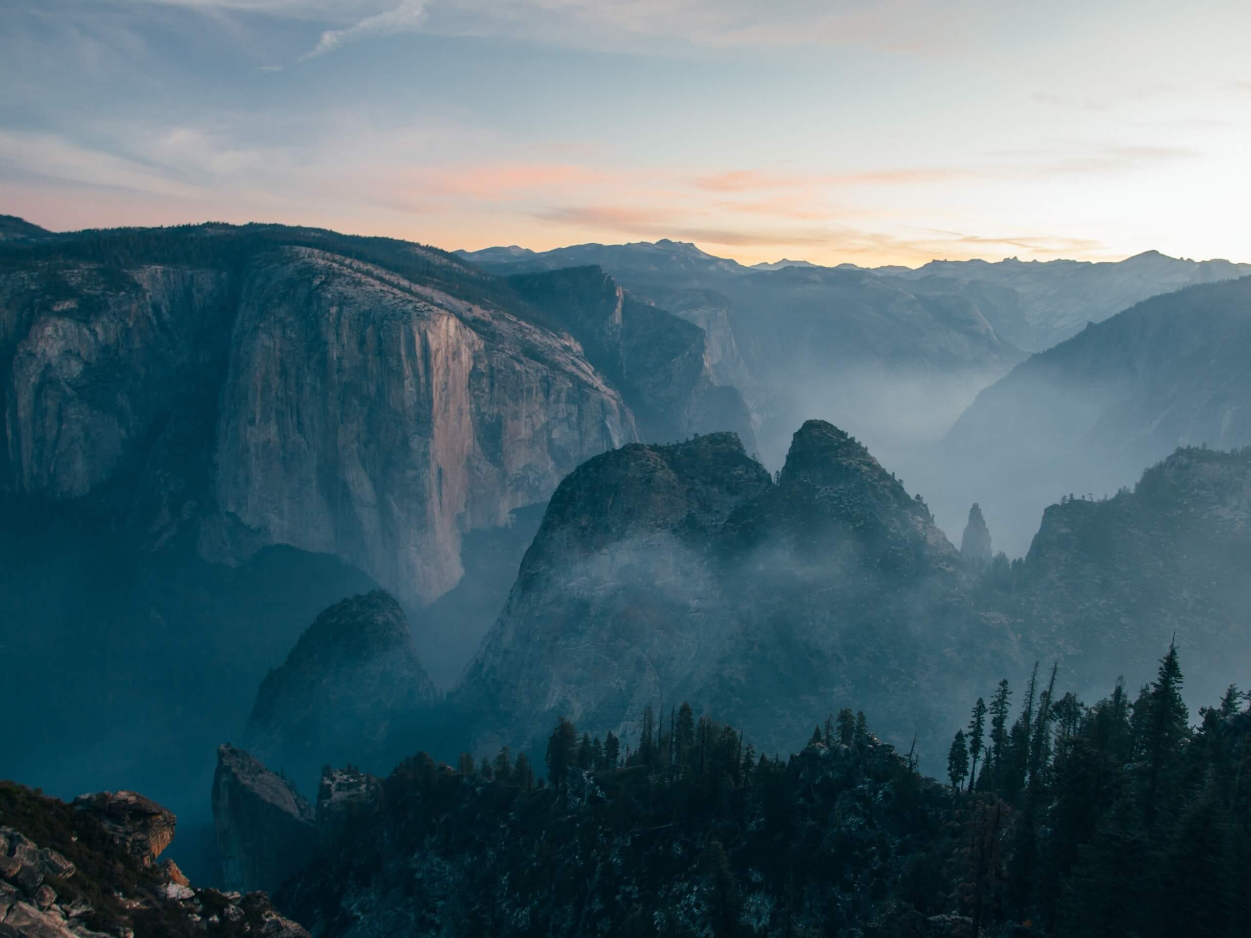
Dewey Point Trail
Difficulty Rating:
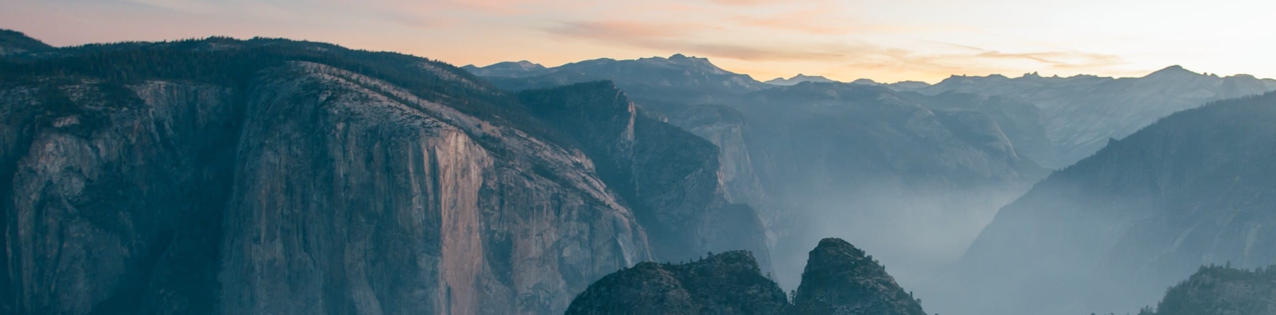
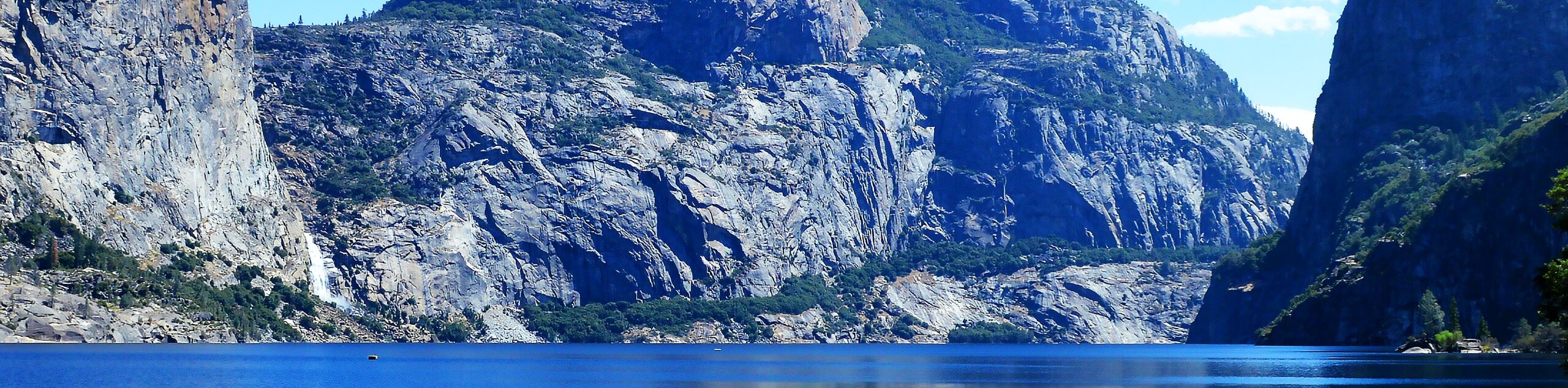
Located on the edge of the Yosemite Valley, Dewey Point boasts breathtaking panoramas of the Valley and encompassing Sierra Nevada peaks. The vertigo-inducing vistas of El Capitan, Clouds Rest, Sentinel Dome, and more, will humble you. Don’t forget to bring the camera!
Getting there
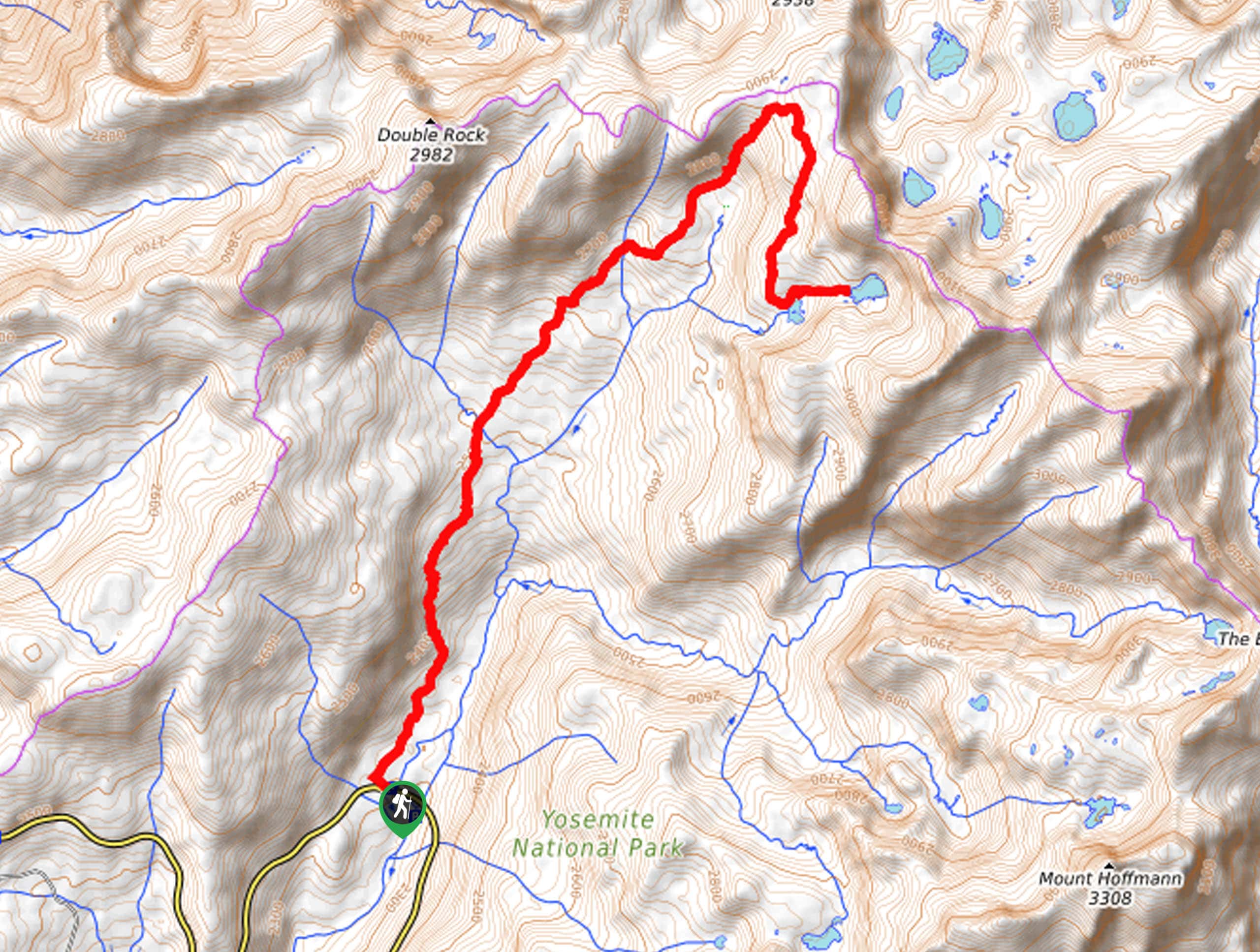
The Dewey Point Trail departs from the Dewey Point Meadow Trailhead off Glacier Point Road.

About
| Backcountry Campground | No |
| When to do | Year-Round |
| Pets allowed | No |
| Family friendly | Yes |
| Route Signage | Average |
| Crowd Levels | Moderate |
| Route Type | Out and back |
Dewey Point Trail
Elevation Graph
Weather
Dewey Point Trail Description
The Dewey Point Trail is an amazing adventure atop the southern rim of Yosemite Valley that is one of few hikes in the area that can be enjoyed year-round. After the Glacier Point Road closes seasonally, wander to the trailhead from the Badger Pass Ski Area and explore this undulating path with a pair of snowshoes, microspikes, or even cross-country skis. Note: the drop-off from the overlook is dramatic, so be sure to maintain your distance. Additionally, a good portion of this path is exposed, so dress accordingly. The National Park charges an entrance fee; check out the NPS website for season-specific prices.
Setting out from the trailhead, the Dewey Point Meadow Trail heads north and gradually descends into a lush meadow, before steeply climbing up a ridge. From here, the path will mildly undulate to the overlook. As you wander through mixed pine forests and meadowlands, you will be overwhelmed with the distant postcard worthy scenery of the granite peaks that flank the verdant woodlands below. Eventually, the path will merge with the Dewey Point Ridge Trail, where you will be joined with a few more eager outdoor enthusiasts. Continue north along this scenic path and you will eventually reach Dewey Point.
From the granite outcrop, you will be rewarded with 360-degree vistas of the dramatic landscape. Revel in the expansive views of the valley below and the granite peaks above. After relishing in the unparalleled panoramas, retrace your footing along the path back to the trailhead.
Similar hikes to the Dewey Point Trail hike
Beehive Meadow Trail
The Beehive Meadow Trail is an amazing adventure in Hetch Hetchy that travels through diverse terrains. Cross the O’Shaughnessy Dam,…

Chain Lakes Hike
Explore one of the more secluded trails in Yosemite National Park along the Chain Lakes Hike. This wonderful trail exposes…
Grant Lakes Hike
Immerse yourself in Yosemite’s high country along the Grant Lakes Trail. This epic hike exhibits the grandeur and diversity of…
Comments