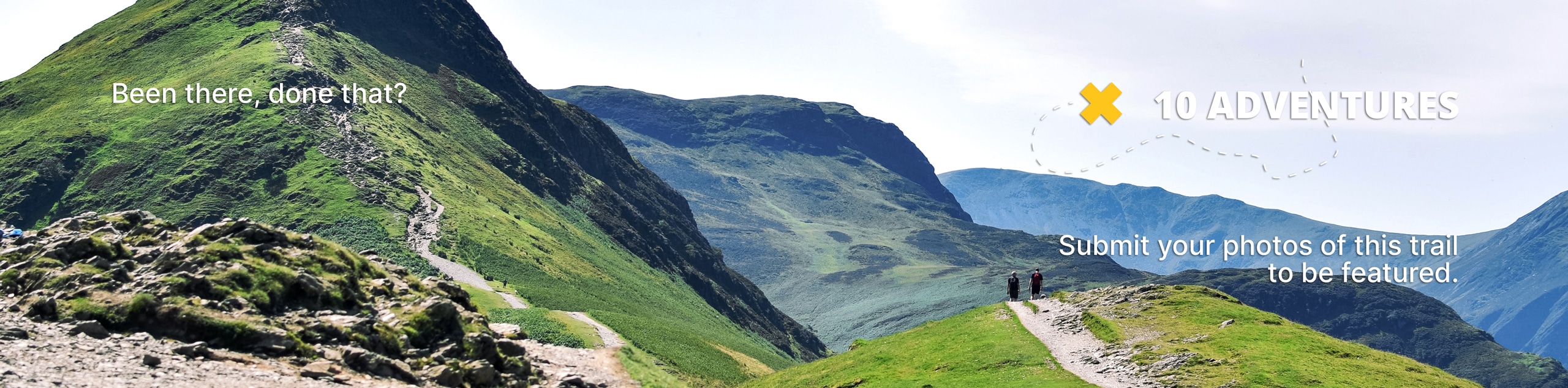
Upper and Lower Undine Falls Trail
View Photos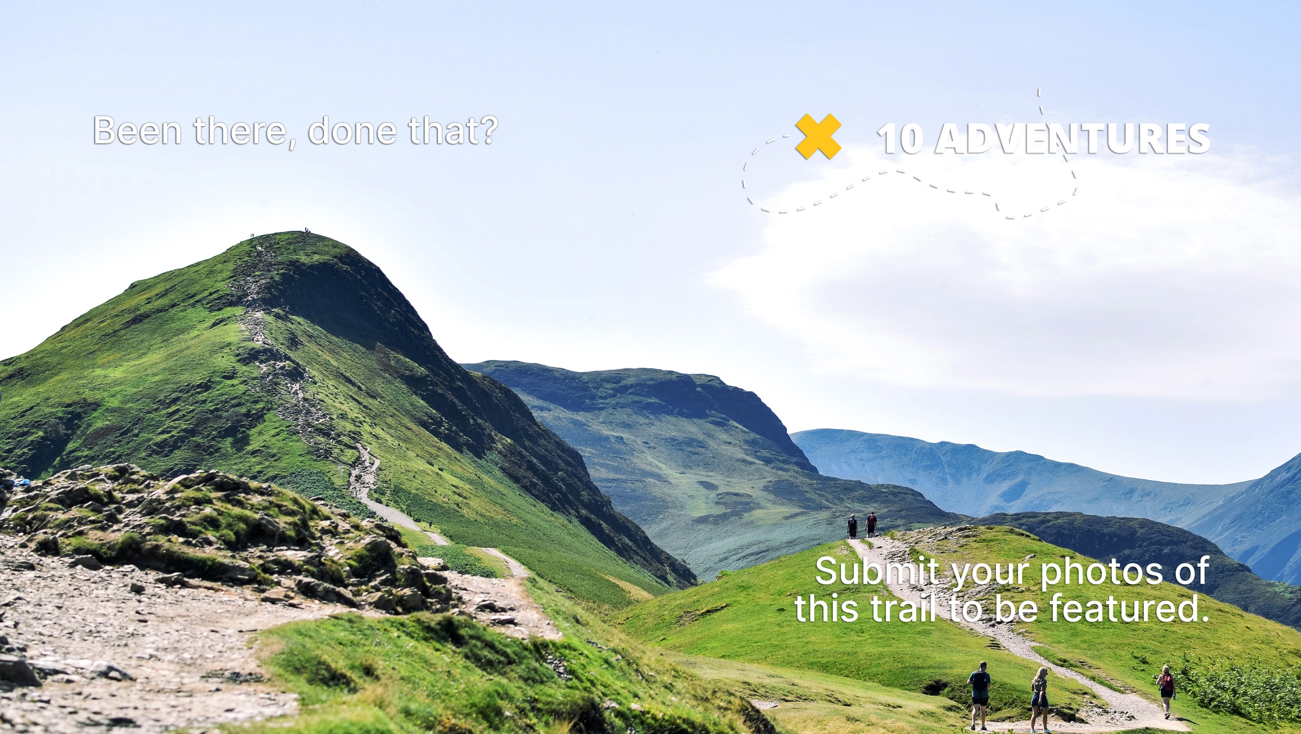
Upper and Lower Undine Falls Trail
Difficulty Rating:
The Upper and Lower Undine Falls Trail is a gorgeous hike to a 60ft tall waterfall in Yellowstone National Park. This trail is easy and family-friendly. Though the Upper and Lower Undine Falls Trail can be accessed year-round, the best time to visit is between May and October.
Getting there
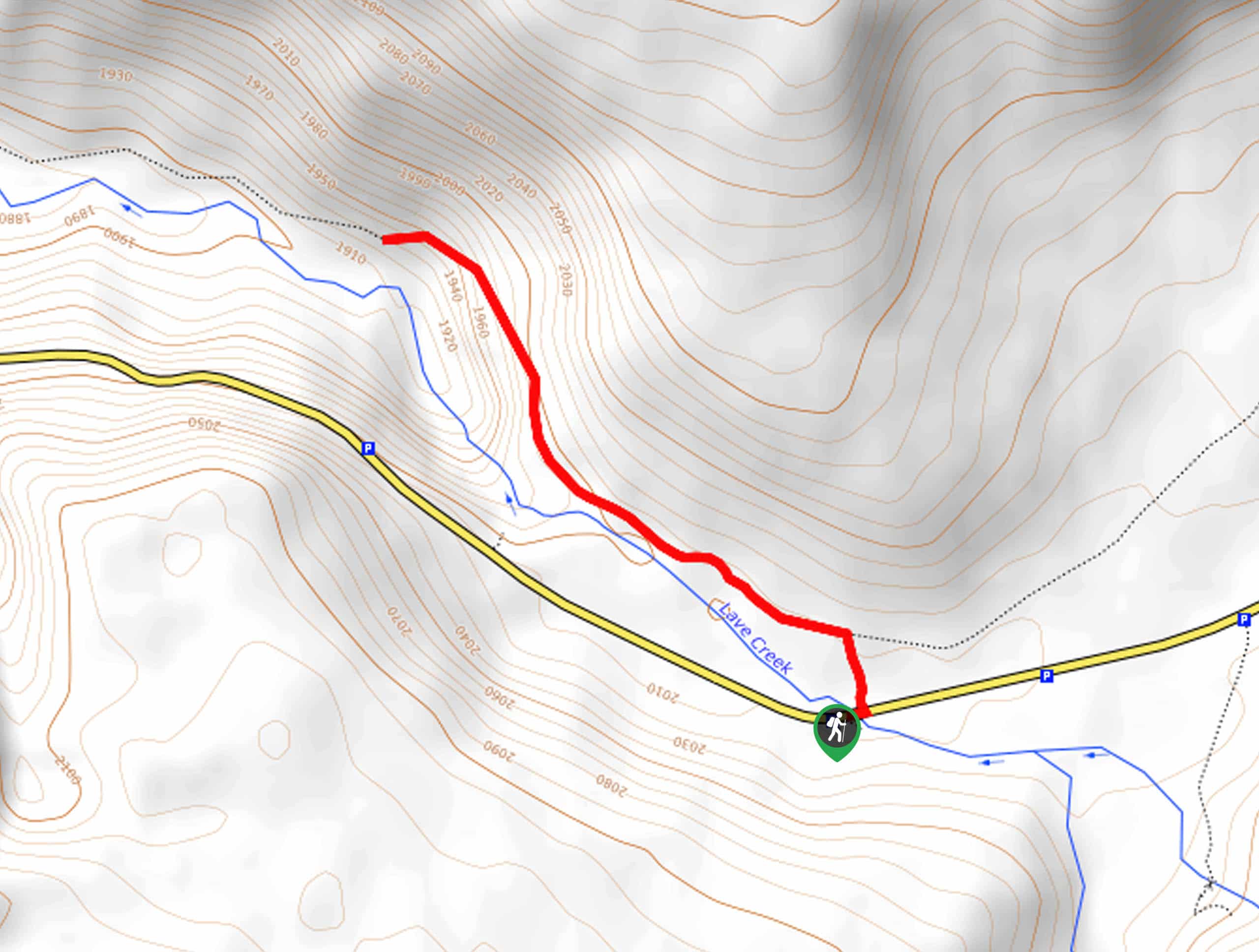
This hike begins at the Lava Creek Trailhead on the northside of Grand Loop Road.

About
| Backcountry Campground | No |
| When to do | May to October |
| Pets allowed | No |
| Family friendly | Yes |
| Route Signage | Average |
| Crowd Levels | Moderate |
| Route Type | Out and back |
Upper and Lower Undine Falls Trail
Elevation Graph
Weather
Upper and Lower Undine Falls Trail Description
The Upper and Lower Undine Falls Trail is a gorgeous hike in Yellowstone National Park. It is common for hikers to encounter bison and elk on this trail. As with any hike in Yellowstone, you may encounter bears. Before you set out on your hike, make sure that everyone in your hiking party is familiar with bear safety protocols. At least one member of your group should carry bear spray and know how to use it properly. If you do encounter wild animals, do not approach or feed them and be sure to admire them from a safe distance.
Undine Falls themselves are stunning 60ft tall cascading waterfalls along the mighty Lava Creek. The best time to see the falls in action is in the springtime when the snowmelt swells the creek, but no matter what time of year you visit, the sight of these falls is sure to take your breath away.
Beginning at the Lava Creek Trailhead, follow the path on your left to hike westward along the north bank of Lava Creek. Follow the path for approximately 0.4mi to the Falls.
If you are looking for a shorter path, the falls can also be viewed from the Undine Falls Viewpoint just east of the Lava Creek Trailhead.
Similar hikes to the Upper and Lower Undine Falls Trail hike
Clear Lake and Artist’s Point Loop
The Clear Lake and Artist’s Point Loop is an easy, scenic hiking circuit in Yellowstone. This trail features incredible views…
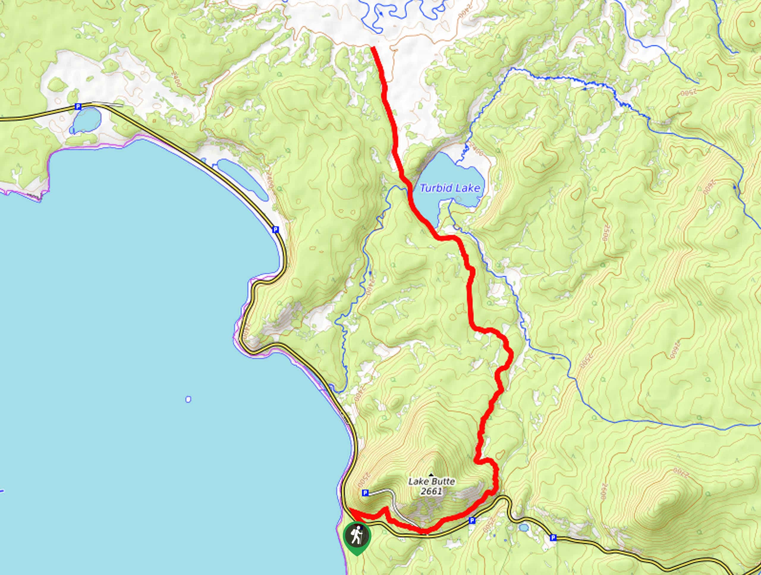
Turbid Lake Trail
The Turbid Lake Trail is an adventurous hike in Yellowstone. This trail is not well maintained and requires navigation and…
The Crevice Lake Trail
The Crevice Lake Trail is a gorgeous hike in Yellowstone. This trail can be done as a day hike or…
Comments