The Black Canyon Trail
View Photos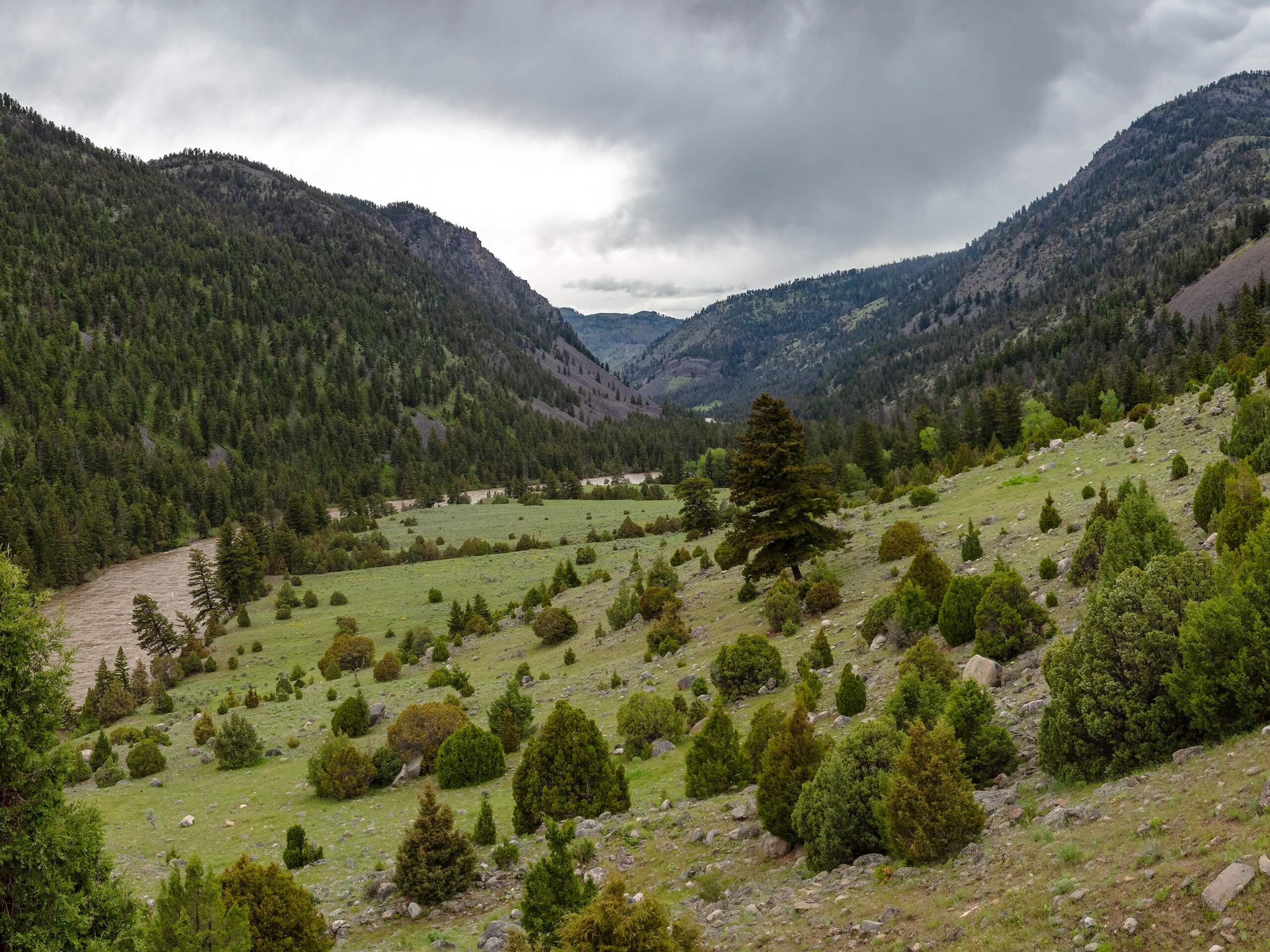
The Black Canyon Trail
Difficulty Rating:
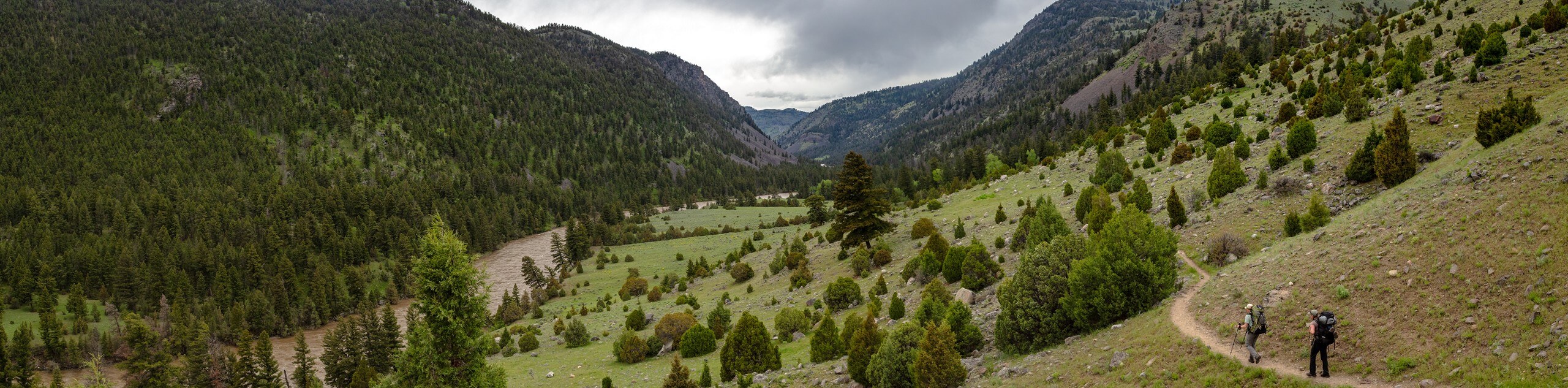
The Black Canyon Trail is a scenic hike on the northern edge of Yellowstone National Park. This trail can either be hiked in one, long day or broken up into an overnight backpacking trip by camping at one of the many sites along the way. With incredible views and wildlife abound, this route is an excellent way to experience the subtle beauty of Yellowstone National Park.
Getting there
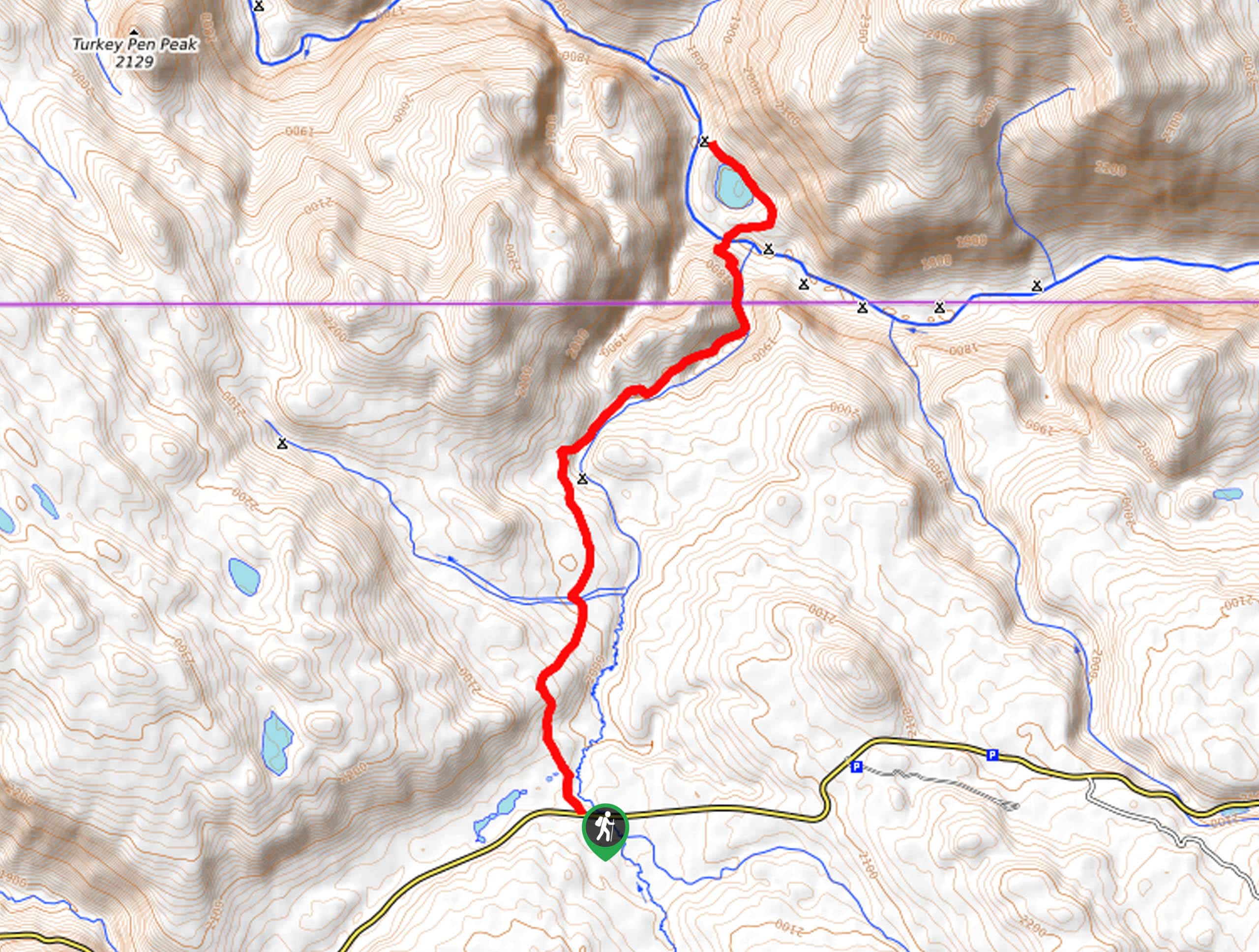
The Black Canyon Trail begins at the Hellroaring Creek Trailhead and ends at the Blacktail Trailhead on Grand Loop Road.

About
| Backcountry Campground | Little Cottonwood Creek, West Cottonwood Creek, Yellowstone River Trail, Oxbow Creek, E of Blacktail Cabin, Yellowstone River Bridge, Lower Blacktail Creek |
| When to do | May to September |
| Pets allowed | No |
| Family friendly | No |
| Route Signage | Average |
| Crowd Levels | Low |
| Route Type | One Way |
The Black Canyon Trail
Elevation Graph
Weather
The Black Canyon Trail Description
The Black Canyon Trail is a fantastic hike in Yellowstone National Park. This trail is long; if you plan on hiking the whole distance in one day, be sure to start out early in the morning, so you don’t end up finishing in the dark. This trail can also be broken up into a multi-day backpacking trip for those who want to take it slow. The Black Canyon Trail is an excellent place to spot wildlife, including elk and bison. As with any trail in Yellowstone, hikers should be aware of bears in the area. Ensure that everyone in your hiking party is familiar with bear safety protocols before hitting the trail. At least one member of your group should carry bear spray and know how to use it properly.
To hike the Black Canyon Trail, begin at the Hellroaring Creek Trailhead and follow the Hellroaring Creek Trail north across the Yellowstone River and Hellroaring Creek. On the far side of Hellroaring Creek, the trail will split. At this divide, take the path on your left to follow the Yellowstone River Trail heading westward.
Continue west along the bank of the Yellowstone River to a divide at Crevice Lake. At Crevice Lake, take the Blacktail Deer Creek Trail south down to the trail’s end at the Blacktail Trailhead.
Similar hikes to the The Black Canyon Trail hike
Clear Lake and Artist’s Point Loop
The Clear Lake and Artist’s Point Loop is an easy, scenic hiking circuit in Yellowstone. This trail features incredible views…
Turbid Lake Trail
The Turbid Lake Trail is an adventurous hike in Yellowstone. This trail is not well maintained and requires navigation and…
The Crevice Lake Trail
The Crevice Lake Trail is a gorgeous hike in Yellowstone. This trail can be done as a day hike or…
Comments