Sky Rim hike
View Photos

Sky Rim hike
Difficulty Rating:
Sky Rim Trail is the classic full-day hike in Yellowstone, and a must for fit hikers. This long trail will tire you out, however the views along are second to none. Expect dramatic peaks, vast valleys and all that’s in between on this hike.
Getting there
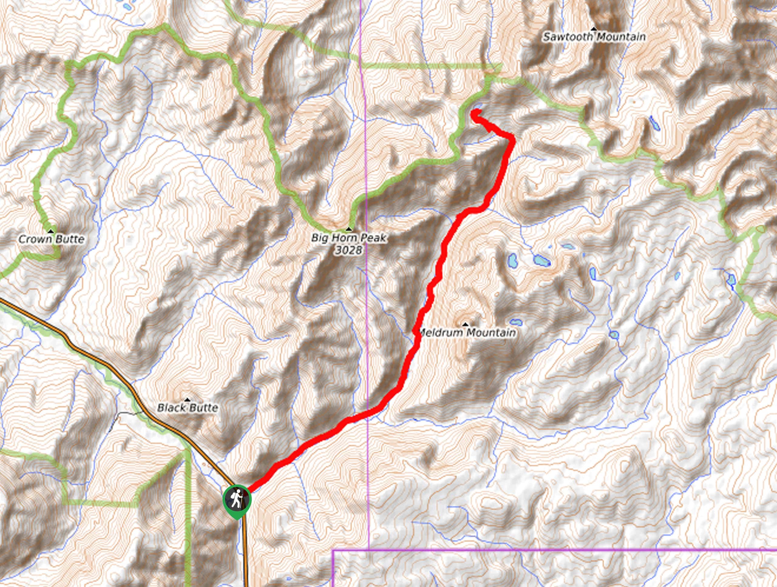
From West Yellowstone, drive north along highway 191 for just under 31.1mi. You will enter the park as it juts out to the northwest. After passing Bighorn Pass, Fawn Pass, Specimen Creek and Black Butte trailhead, the Daly Creek trailhead will be on the right. There is limited parking, however the trail is lightly used. If you exit the park and enter the national forest you have gone too far.

About
| When to do | June through September |
| Backcountry Campsites | No |
| Toilets | At Parking Lot and partway up the trail |
| Family friendly | No |
| Route Signage | Average |
| Crowd Levels | Low |
| Route Type | Out and back |
Sky Rim
Elevation Graph
Weather
Route Description for Sky Rim
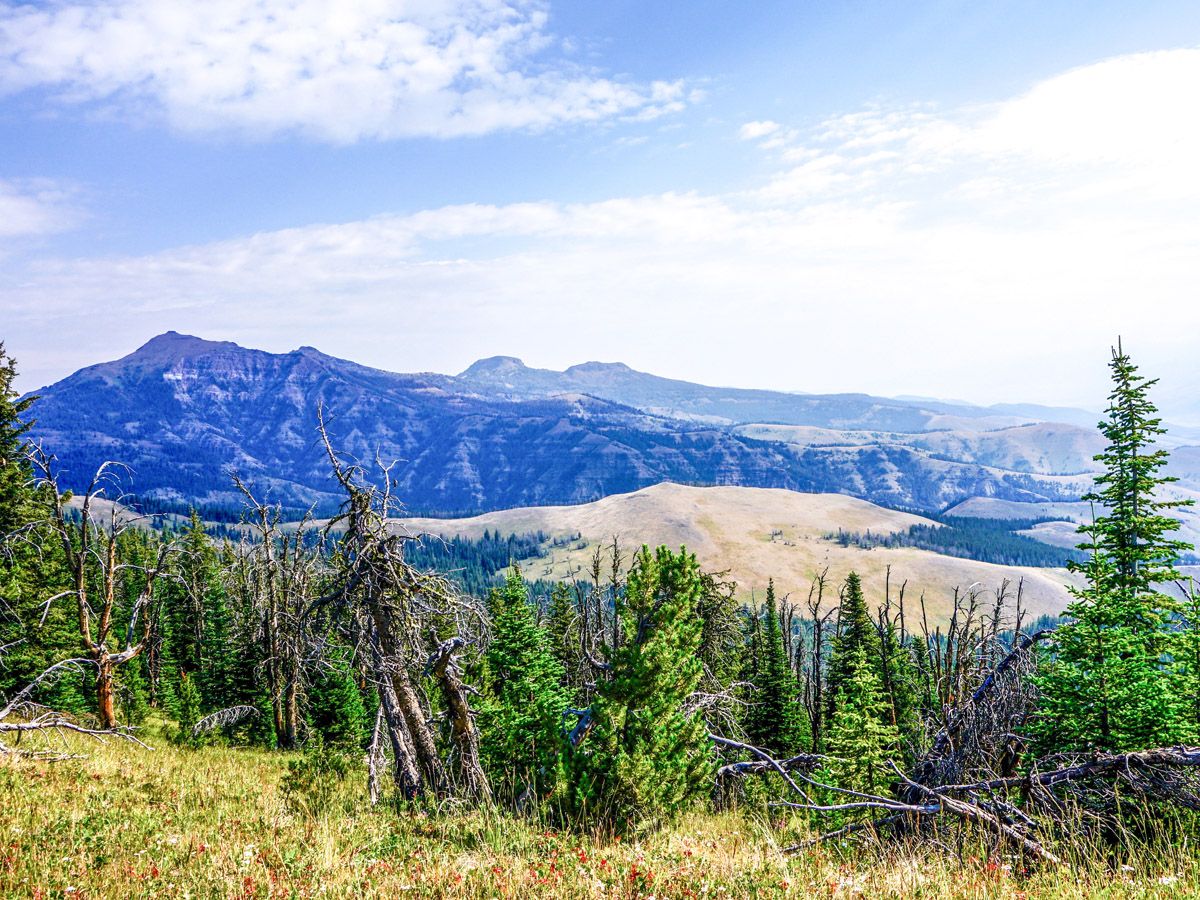
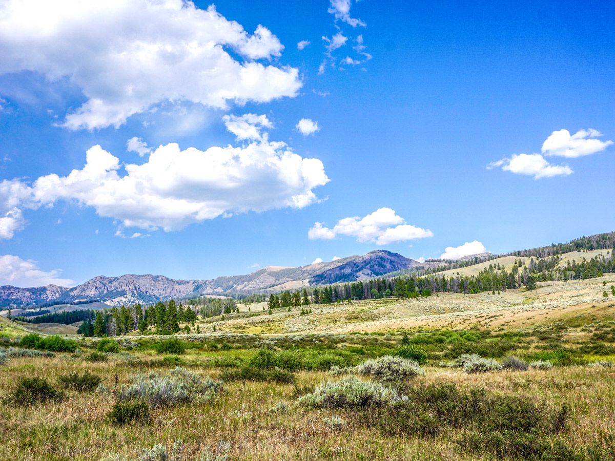
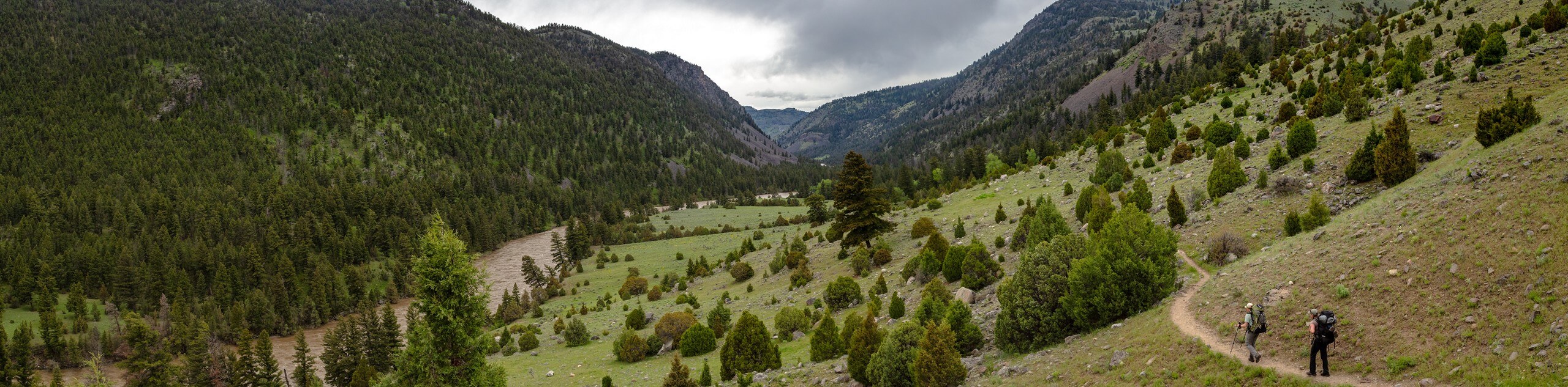
Starting from the trailhead, hike through the grassy and mostly flat meadows as you approach the rim itself. Especially if you started in the early morning this will look unbelievable, as the sky will extend infinitely into the horizon. The first junction you pass connects to the other “ladder” of the hike – the Black Butte trail. Turn left here towards the Sky Rim Trail, though keep in mind you will be returning this way.
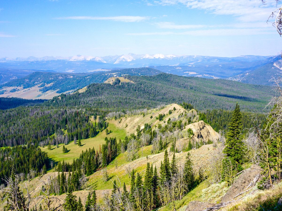
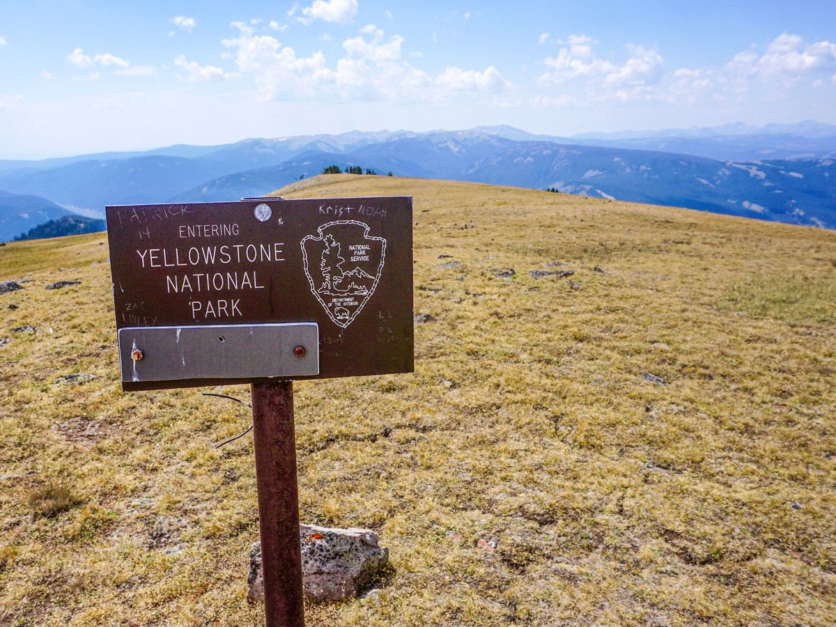
Follow the signs towards the Sky Rim Trail. You will pass a campground and a path leading to the left. Again, continue towards the Sky Rim. As you approach the rim you will gain some elevation in the trees, then emerge on the top of a dirt-covered ridge. This ridge is the border of Yellowstone National Park. Look left into Gallatin National Forest, and back right into Yellowstone.
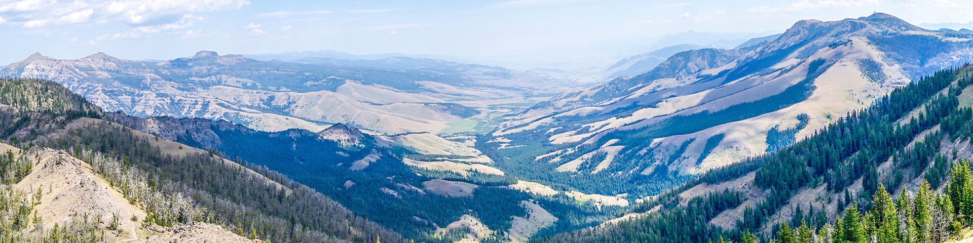
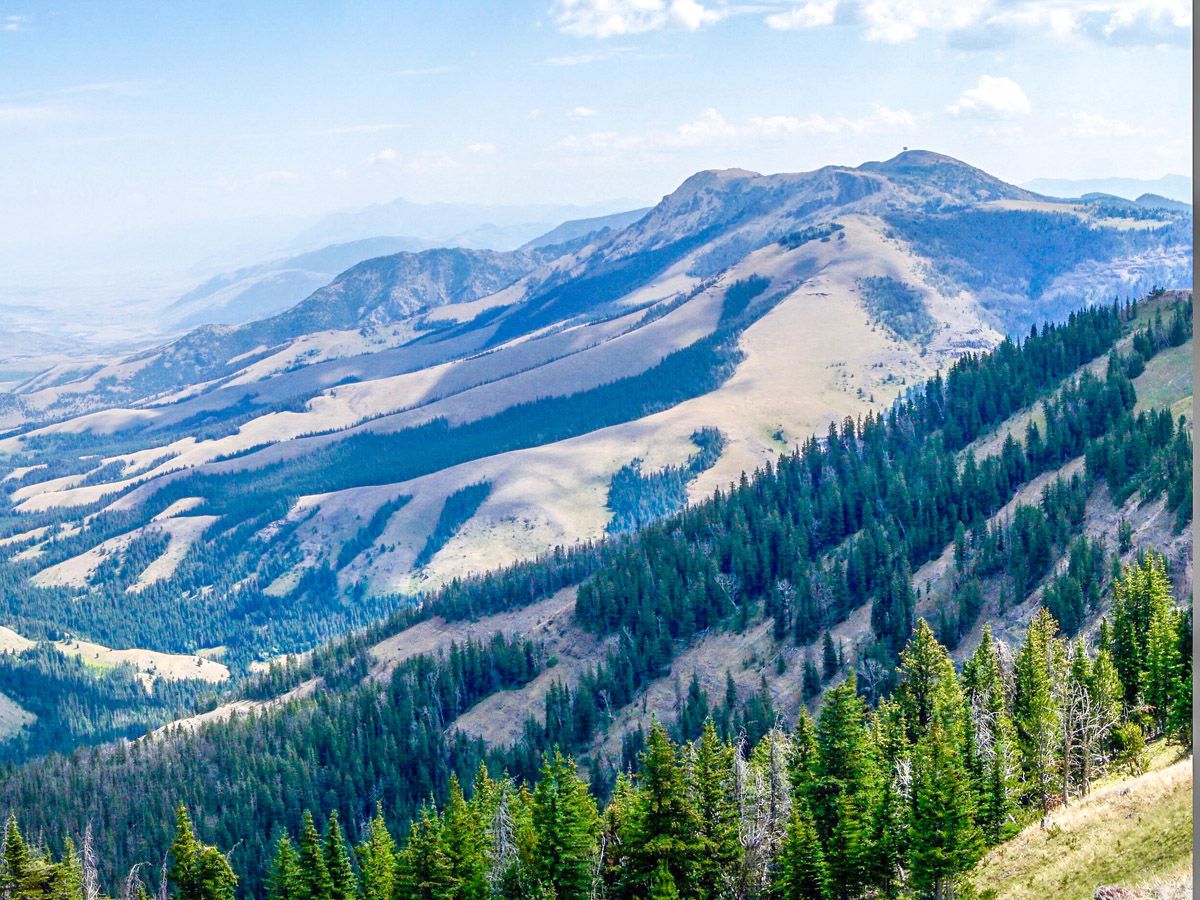
Now the jaw dropping views you have heard so much about become a reality. For your entire traverse of the ridge you will be totally ensconced in the magical scenery of Northern Yellowstone. At first you will be able to see Ramshorn Peak, Fortress Mountain and Lone Indian Peak to the north. As you continue, Canary Bird Peak and Sawtooth Mountain will be visible to the east.
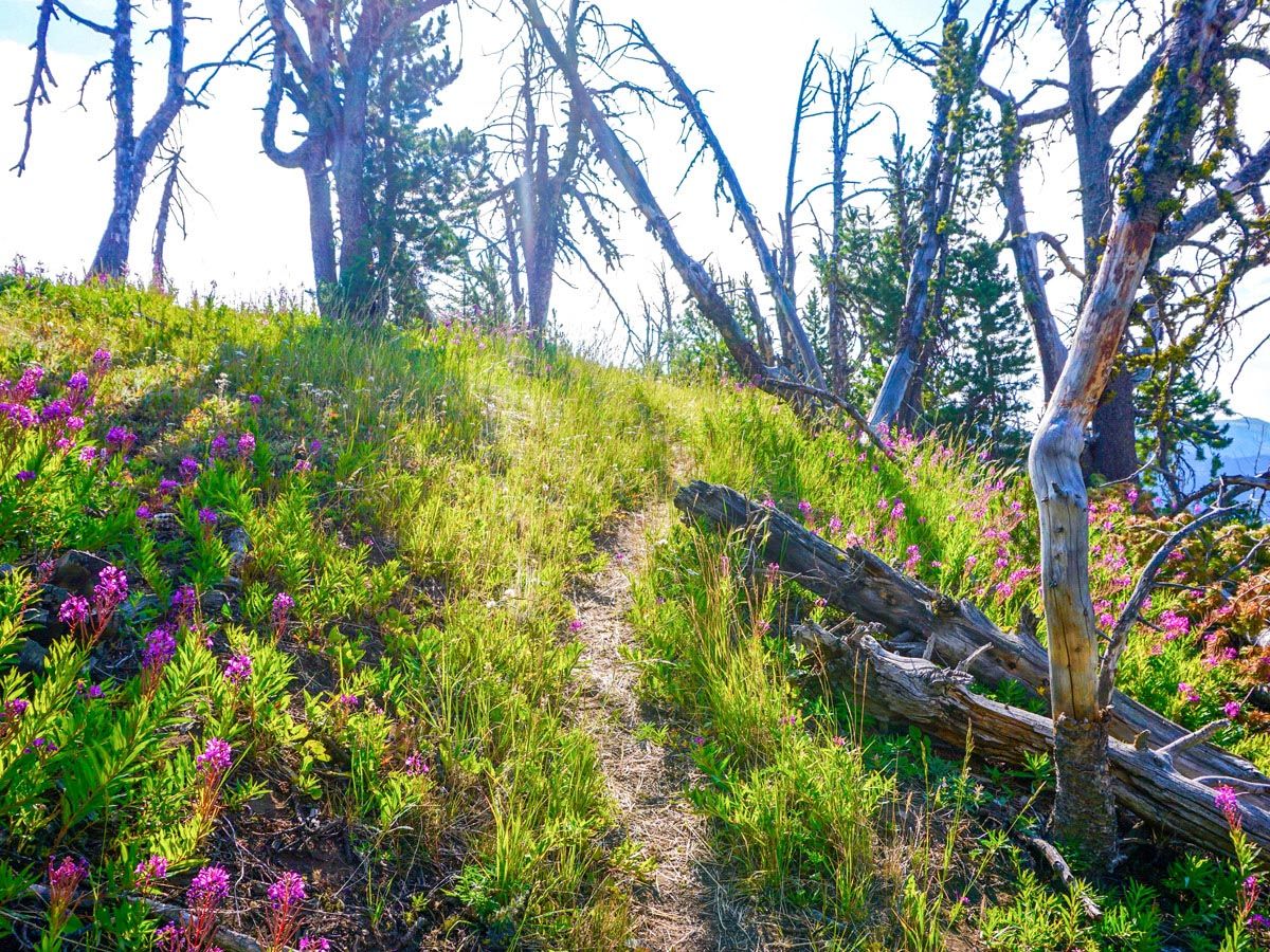
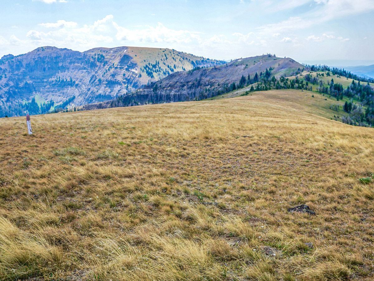
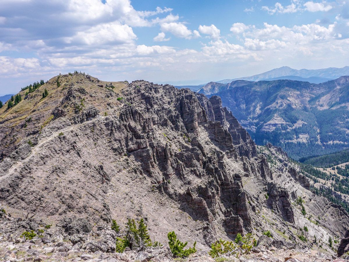
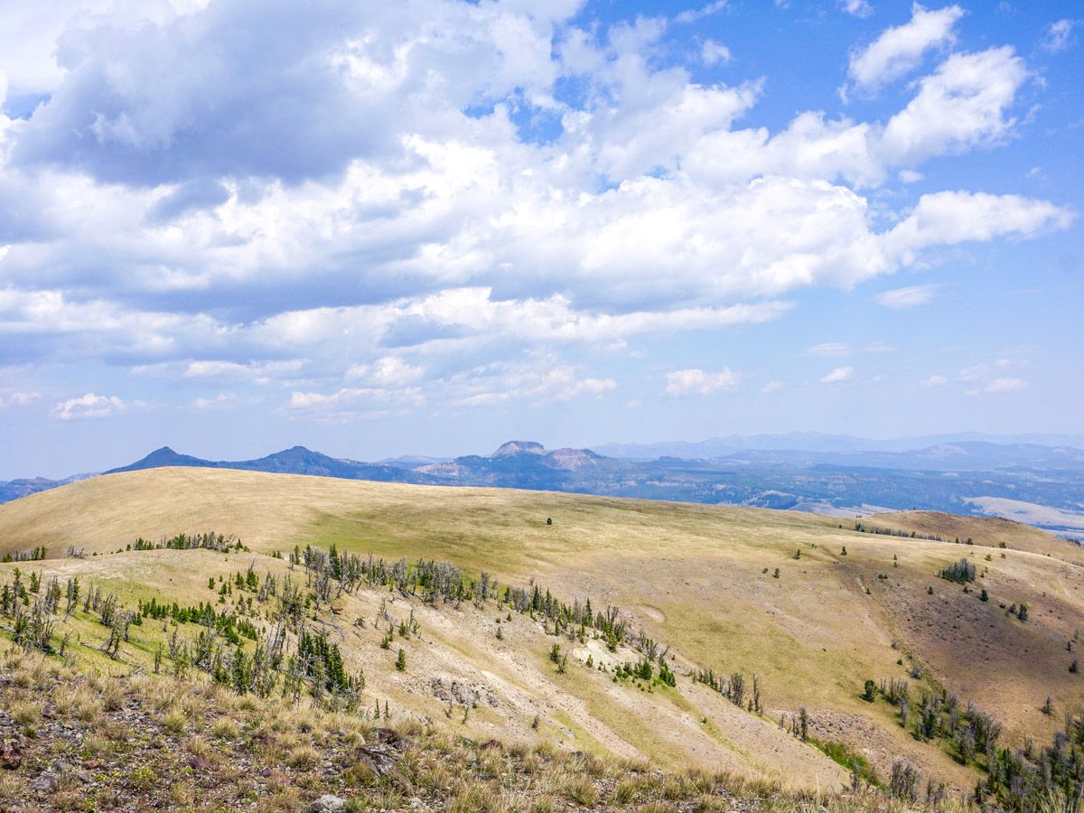
The rolling ridge of the Sky Rim Trail will continue to roll up and down through recently burnt forest, wildflower filled meadows, and rocky bluffs. Towards the end of the ridge you will come to the final steep climb of the hike. There is no normal trail, however flags are ever present directing you up to Big Horn Peak. After climbing up this loosely wooded field you will come to a grassy plateau. This is not yet the peak. Continue along the trail to the visibly rocky outcropping to the east. At over 9843ft, the views from this peak are majestic, as the all the valleys and peaks seemingly originate from your vantage point.
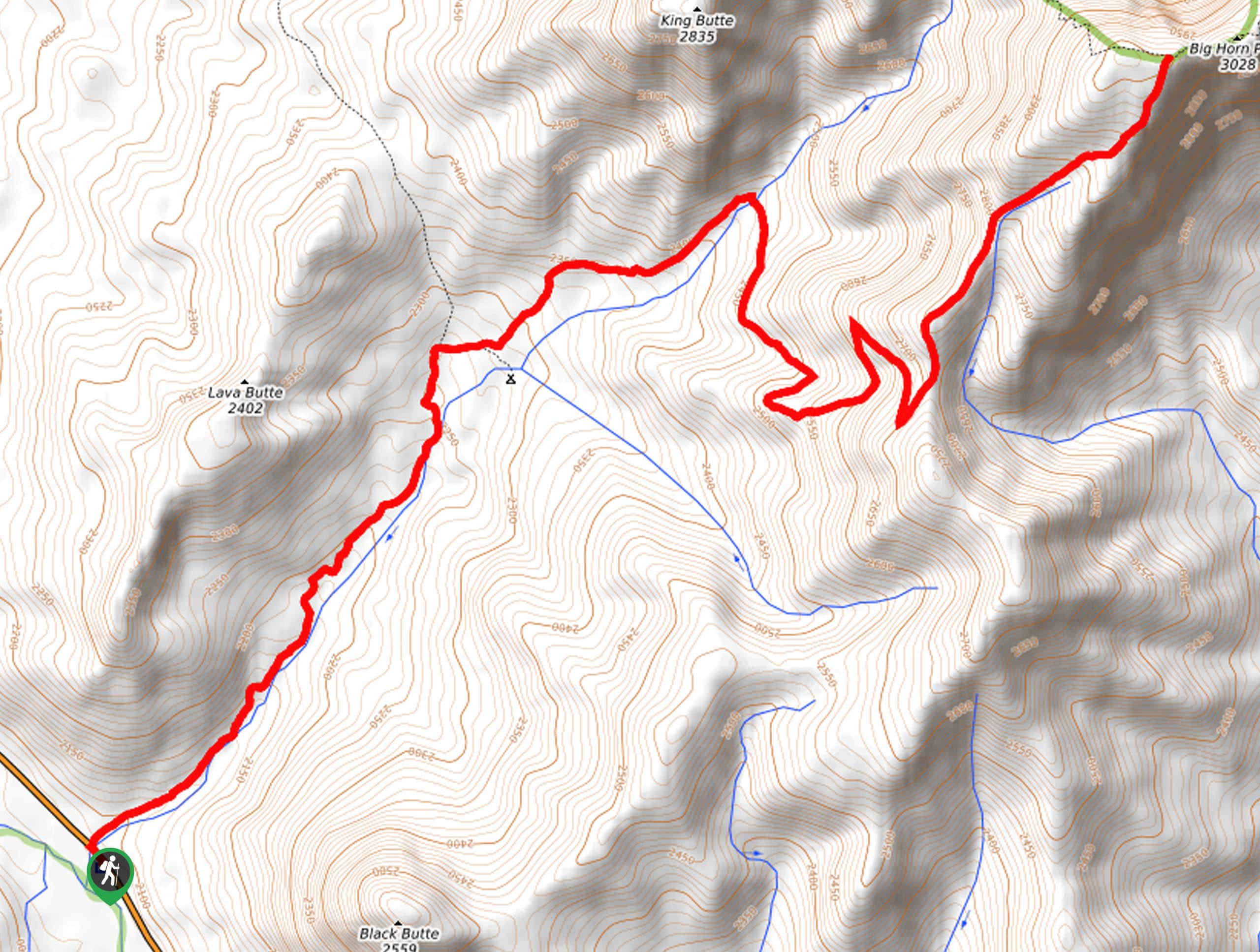
After soaking in the views return to the grassy plateau and follow the signs (and the orange tape) along the Black Butte Trail in the direction of the Black Butte Trailhead. You will descend all the way down to the valley floor, alongside the Black Butte Creek. At the first junction you will turn right towards Dailey Creek.
This connector trail gains a little elevation, going up the pass between King Butte and Lava Butte. At the top you will find yourself at an old ranger cabin. Descend the trail and turn right at the junction, finally returning to your car at the Dailey Creek Trailhead.
Insider Hints
This hike is extremely long. It is imperative that you start as early as you can.
Water is scarce on the rim itself. Make sure you can carry enough for the scorching Yellowstone sun.

Similar hikes to the Sky Rim hike
Specimen Creek Trail
The Specimen Creek Trail is a fantastic route in Yellowstone. This trail can be done as a challenging day hike…
Black Butte Trail to Big Horn Peak
The Black Butte Trail to Bighorn Peak is a fantastic route in Yellowstone. This trail is difficult and recommended for…
The Black Canyon Trail
The Black Canyon Trail is a scenic hike on the northern edge of Yellowstone National Park. This trail can either…
HikerNolifer 4 years ago
This was the prettiest hike I’ve ever done! Very challenging trail!
MamaBear 4 years ago
The hike is challenging but the view and experience is so worth it.
Jellybean 4 years ago
The views on this hike were amazing, and worth every step. We did see a Grizzly about about mile 15 and made the hike better.
Stewart Graham 4 years ago
It was absolutely beautiful but the trails will make you work hard to see the top.
footfall 4 years ago
Awesome day hike for an active adventurer like me. Amazing views
Polina Ivanov 4 years ago
I know that movie with the same name as this hike, I love them both.
BoulderBound 4 years ago
Sky Rim trail is very challenging better get in shape before taking this trail. It has incredible views.
Taylor Amanda 4 years ago
This was the most alluring hike I’ve ever done!
Tom Pack. 4 years ago
Really long and tough, it took us 10 hours, and the views and wildflower are gorgeous...don't forget to take a lot of water
Lou Sparks 4 years ago
Long and challenging hike that goes with great rewards. The views were unlike anything I've seen before. I would always remember the moment I conquered Sky Rim.