
Rock Creek Hollow Hike
View Photos
Rock Creek Hollow Hike
Difficulty Rating:
The Rock Creek Hollow Hike explores the historic site where the James Willie Handcart Company took refuge in 1856. Suffering from exhaustion, cold, and hunger, they did their best to set up camp during inclement weather in the Rock Creek Hollow—unfortunately, souls were lost.
Getting there
Find the trailhead off Lewiston Road.

About
| Backcountry Campground | No |
| When to do | May-October |
| Pets allowed | Yes - On Leash |
| Family friendly | Yes |
| Route Signage | Average |
| Crowd Levels | Moderate |
| Route Type | Circuit |
Rock Creek Hollow Hike
Elevation Graph
Weather
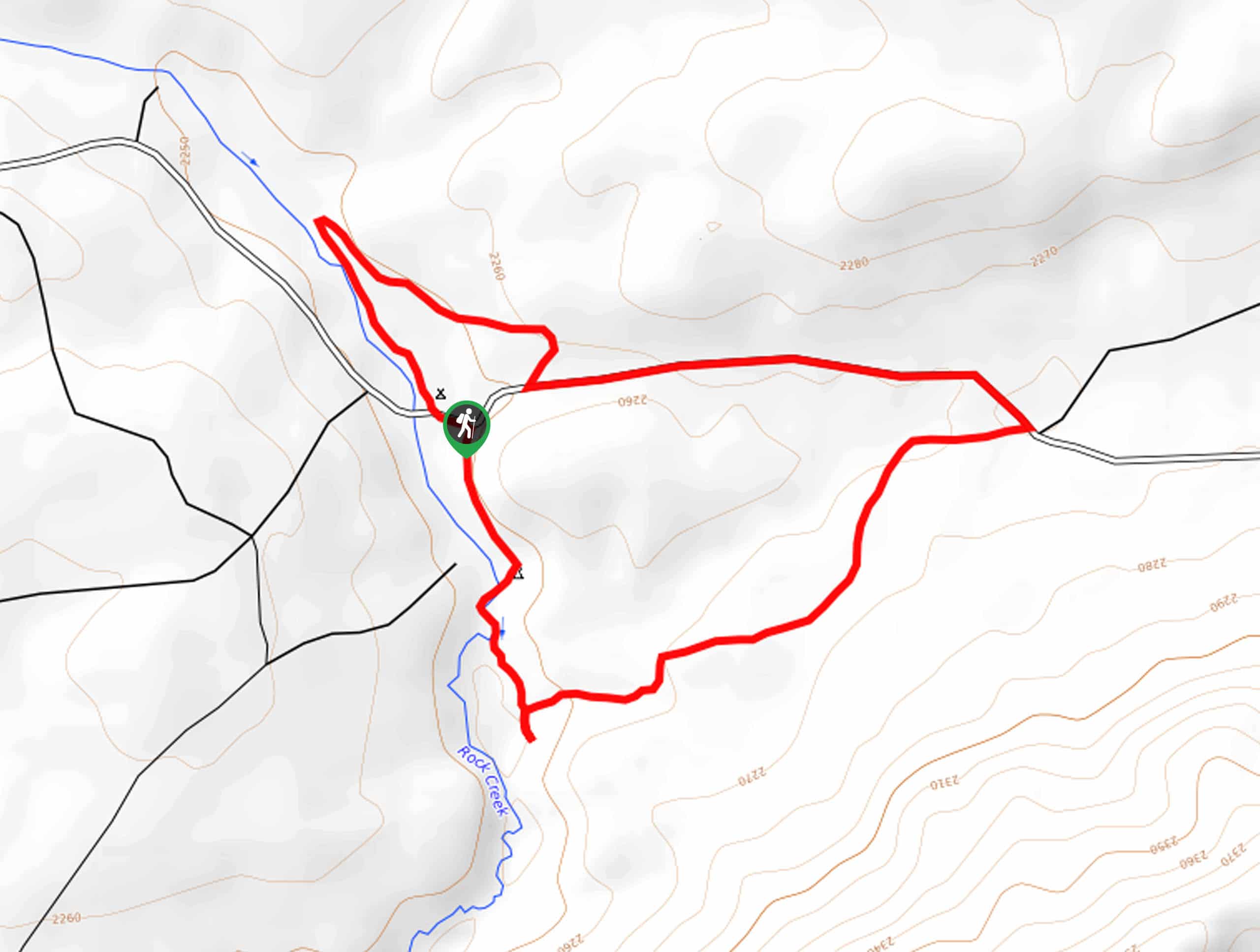
Rock Creek Hollow Hike Description
The Rock Creek Hollow Hike explores the historic locale and burial site. A magnet for history buffs and outdoor explorers alike, this route boasts an informative and sobering experience. Counterbalanced with impressive views of the distant mountainscape, the beautiful Rock Creek, and lush grasslands, this route affords wonderful scenery. Easy-going and quick, the whole family can enjoy this route. However, note the exposed terrain warrants extreme conditions, be it wind, sun, or rain—so check the forecast and dress accordingly.
While this route can be completed in either direction, we recommend hiking counterclockwise. Setting out from the trailhead, you will be led south along Rock Creek. Enjoy the scene and sounds of the babbling waters, and soon the route will redirect you northeast into the lush meadowlands. Revel in the mountainous landscape that surrounds you, and soon the path will demand a roadside walk along the Lewiston Road.
Eventually, you will turn right off Lewiston Road, back into the grasslands. Now wandering north, you will reach the burial site where the trail redirects south, back to the trailhead and parking lot—completing your circuit.
Similar hikes to the Rock Creek Hollow Hike hike
Upper Brewers Trail
The charm of a one-way trek is unrivaled. Enjoy new scenery every step of the way as you hike the…
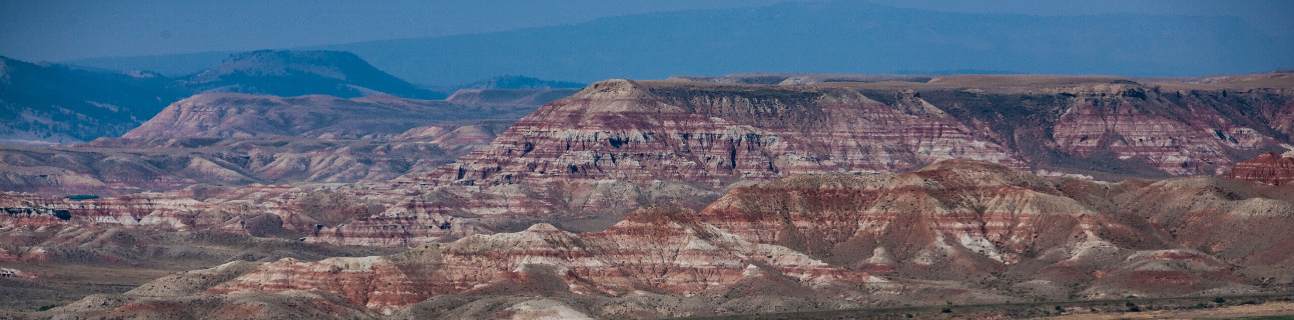
Dubois Recreation Area Scenic Overlook Hike
The Dubois Recreation Area Scenic Overlook Hike is an epic adventure that explores the painted hills. Located just outside the…

Downtown Dubois Walk
While not technically a hiking route, the Downtown Dubois Walk is a great adventure. Many people visiting the Winds or…
Comments