
Cheakamus Lake hike
View Photos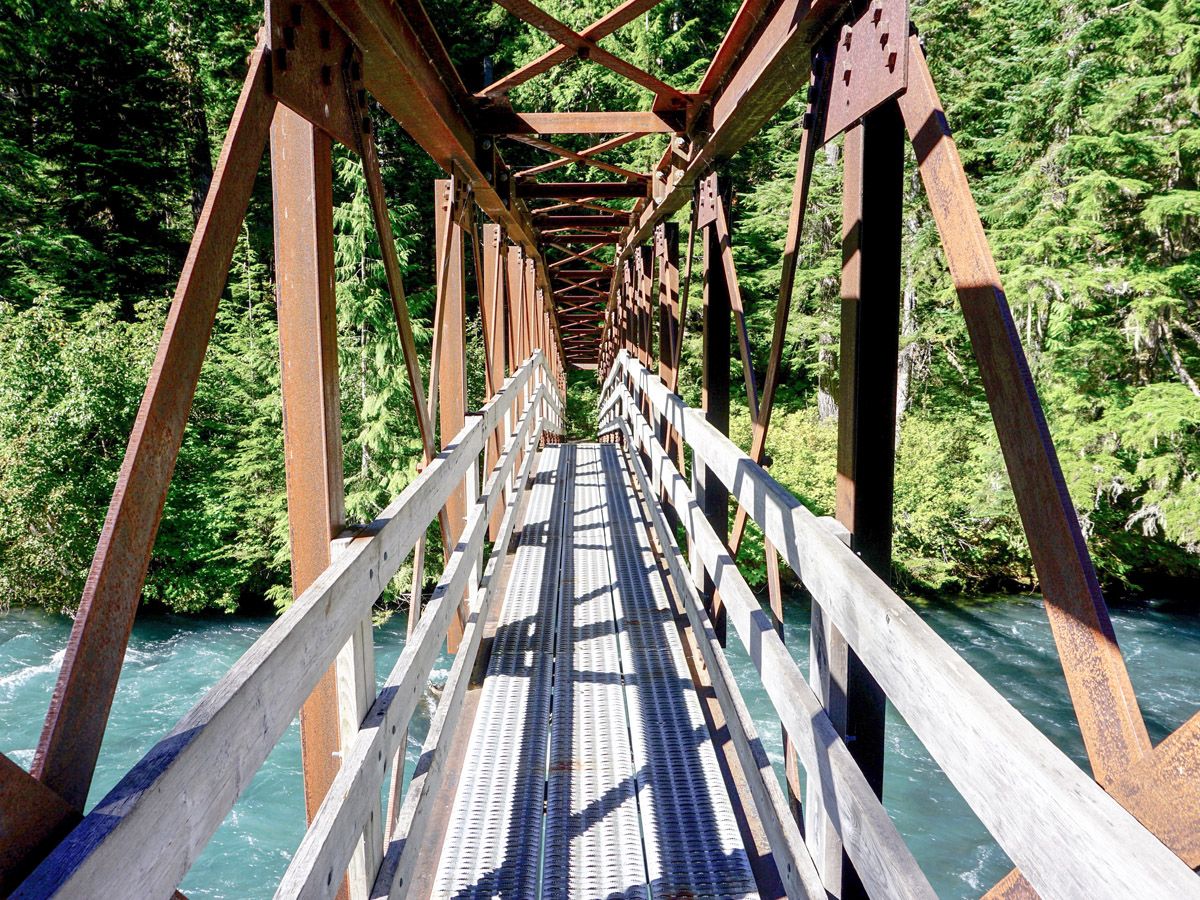
Cheakamus Lake hike
Difficulty Rating:
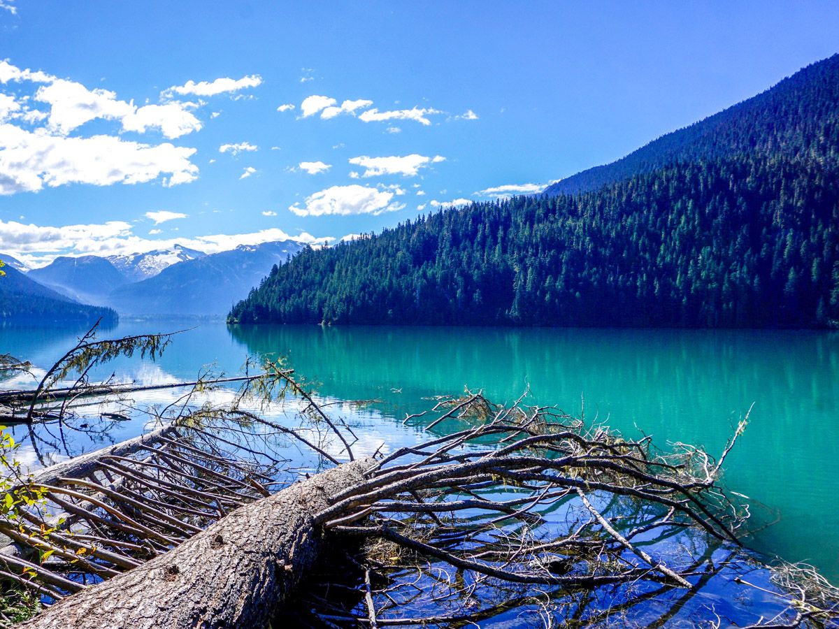
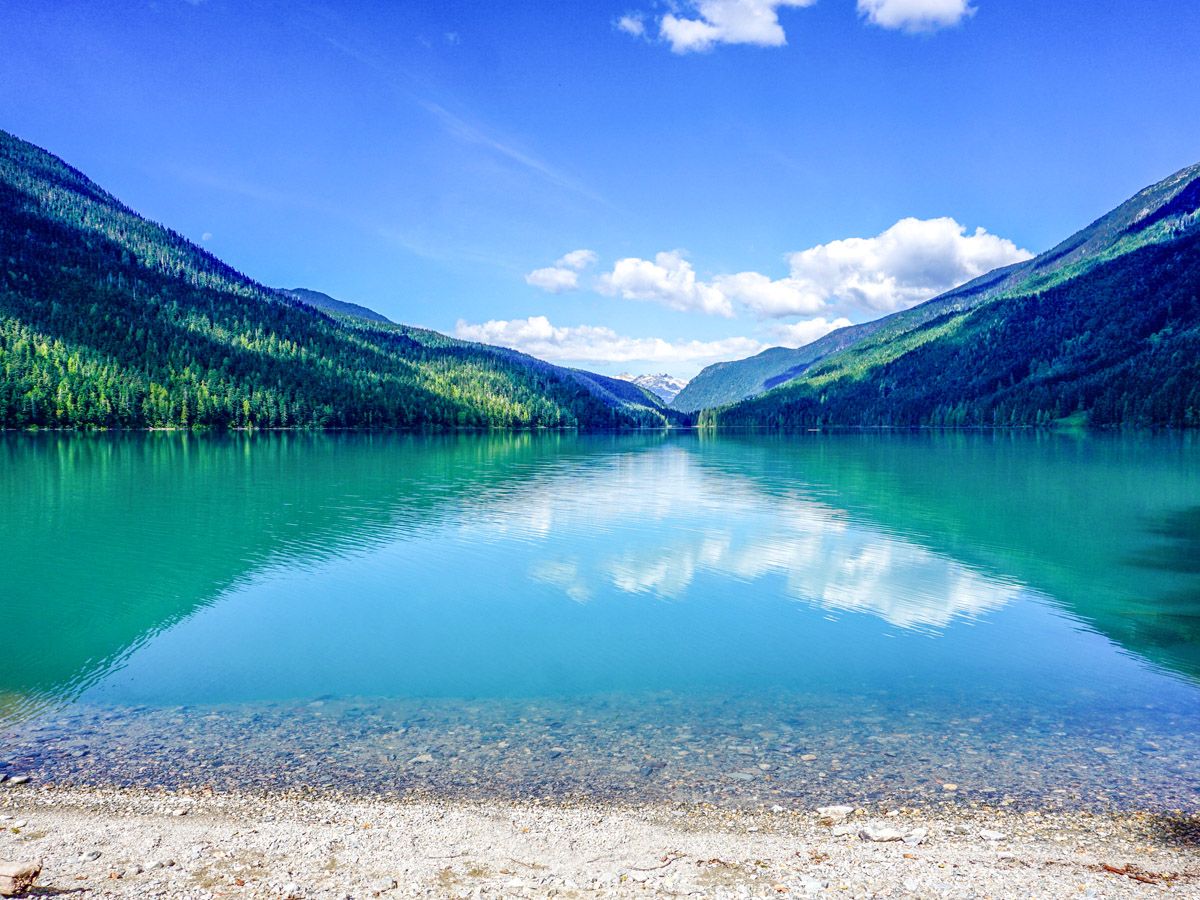
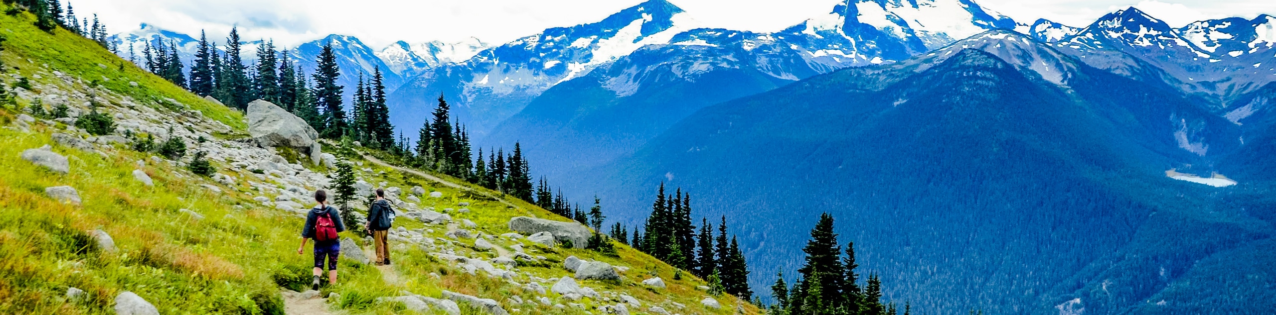
The trail up to Cheakamus Lake is one of the best in the Whistler Region. A relatively flat approach brings you to a massive and secluded mountain lined lake with stunning views. This hike is perfect for a picnic, kids, or an easy backpack.
Getting there
From Function Junction (signed and marked on most maps as such), enter the Whistler Olympic Village. After driving for a couple hundred meters, just as the speed limit drops, turn left on a dirt road leading up to the Cheakamus Lake trailhead. If you enter the Olympic Village you have gone too far.

About
| When to do | June through September |
| Backcountry Campsites | Cheakamus Lake Helm Lake |
| Toilets | Trailhead & Backcountry campgrounds |
| Family friendly | No |
| Route Signage | Average |
| Crowd Levels | Moderate |
| Route Type | Out and back |
Cheakamus Lake
Elevation Graph
Weather
Route Description for Cheakamus Lake
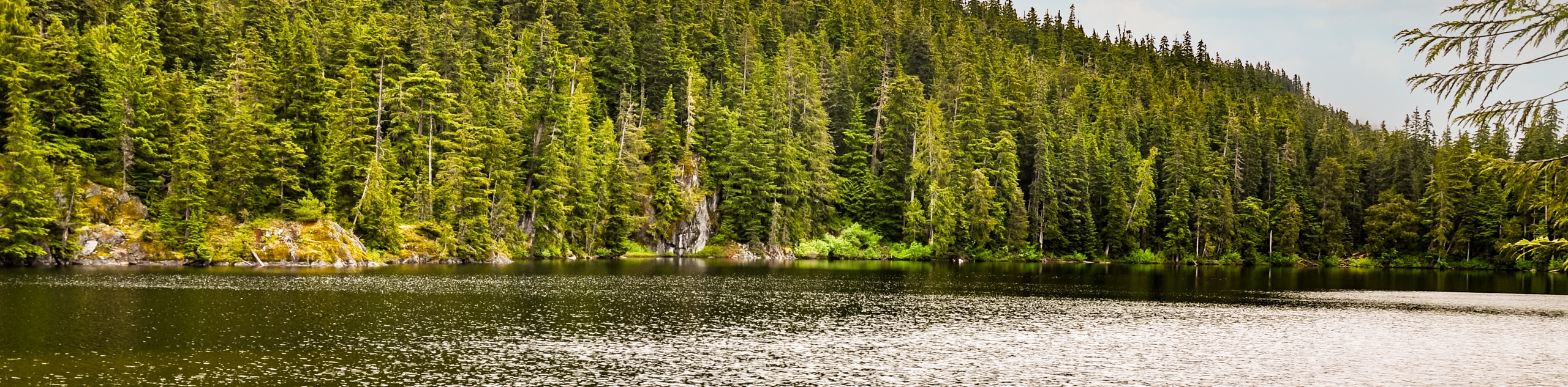
This dirt road is not that rocky, though it has several potholes, and is definitely drivable in almost all two-wheel-drive cars. You will drive up the dirt road through second growth forests for 4.3mi until you arrive at the Cheakamus Lake parking lot. There is a map and an outhouse here.
Before starting, be aware that this route can also be done on mountain bikes, so watch out for bikers as you hike!
This hike can be as short or as long as you like. The start of the lake and the first campground is only 1.9mi from the trailhead, and from there you can walk up to 4.3mi one-way along the lake.
The trail starts out with an initial climb, however this is most of the elevation you will gain for the entire hike. After 0.9mi you’ll come to a junction that turns off towards Garibaldi Lake.
Descending down this path for 2 minutes will bring you to a cool bridge going over the Cheakamus River. Return to the junction and follow the signs towards Cheakamus Lake. Don’t try walking this route to Garibaldi Lake – it’s a long journey!
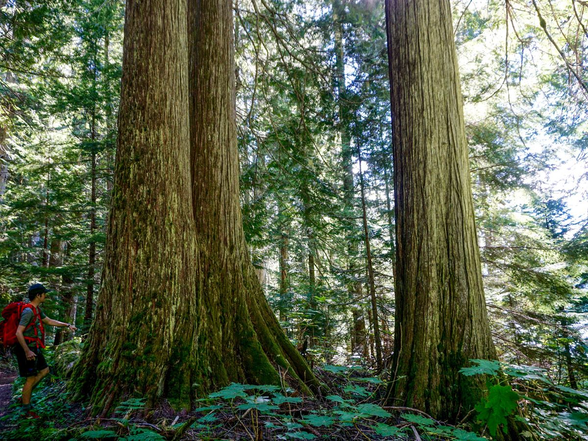
The next 0.9mi of walking leads you up to the initial approach to the lake. This is a stunning, secluded nature walk that meanders through old growth forests, ending at mouth of Cheakamus Lake, and the first of two backcountry campsites. These sites are beautiful, as you can camp right on the lake. Additionally, they are fantastic for a first-time backpack, as the hike in is nice and easy.
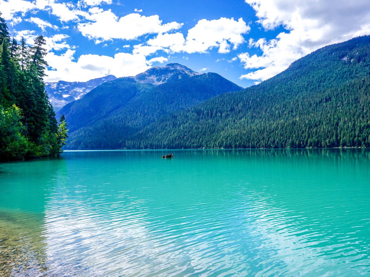
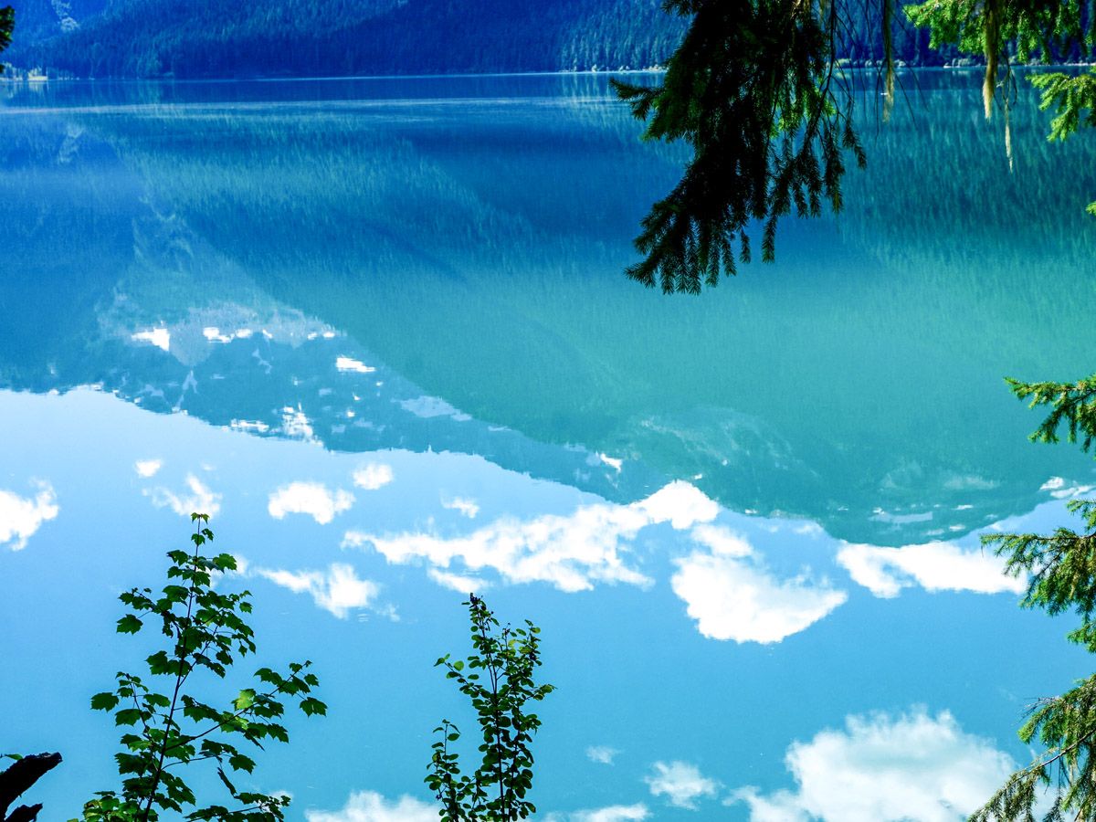
The trail past the first campsite narrows and some small hills exist as you hike beside the lake. You will continue to get fantastic views into Garibaldi Park, with Corrie Peak across the lake to the right, and Mount Davidson and the Cheakamus Glacier visible at the far end of the lake.
Continue along the trail as far as you want to go, then return the way you came towards your vehicle.
Want to find more amazing hikes around Whistler? Check out the Garibaldi Lake hike, Panorama Ridge hike or the Black Tusk hike.
Insider Hints
Bring a picnic to enjoy on the rocky beach at either of the two campgrounds.
Be aware that this route can also be done by bike, and thus be cautious of bikers while on the trail.
This is a great hike for young kids as there is minimal elevation gain.

Similar hikes to the Cheakamus Lake hike
Jane Lakes Trail
The Jane Lakes Trail is a lightly trafficked 6.2mi out-and-back hiking route through the Whistler Interpretive forest that…
Comfortably Numb Trail
The Comfortably Numb Trail is a multi-use route near Whistler that starts to the northeast of Green Lake and travels…
Half Note Trail to High Note
The Half Note Trail to High Note is a moderate hiking loop that utilizes the network of trails atop Whistler…
Meighan 4 years ago
A fantastic trail to hike that is not far from Whistler. Walking along the Cheakamus River and Lake was a joy. Trail is not strenuous and there are many rewards - river, lake, forest and snow capped mountains.
Heidon 4 years ago
Relatively easy and recommended for beginners. It's well marked and very popular. The lake is gorgeous with plenty of nice access points to have a snack.
Rowan Sanders 4 years ago
A fantastic trail to hike that is not far from Whistler. Trail is not strenuous and there are many rewards - river, lake, forest and snow capped mountains.
matsuomako 4 years ago
Bewildering views! I'm glad I have my camera when I went here!
HIllaryPNW 4 years ago
Well today was so enjoyable. I'd recommend this to anyone. Trail is easy and well groomed
Lukas Saville 4 years ago
A wonderful hike, really glad I found this trail
Tara Green 4 years ago
It is just so beautiful, all the different colors of the trees and the lake are very scenic
Tara Green 4 years ago
It is just so beautiful, all the different colors of the trees and the lake are very scenic.
Tara Green 4 years ago
It was just so beautiful, all the different colors of the trees and the lake were very scenic.
ottobismark 4 years ago
Don't be put off by the distance, this is long but not too steep. It's a fabulous hike. Wish I could portage my canoe up here, but I'm not quite that fit.