
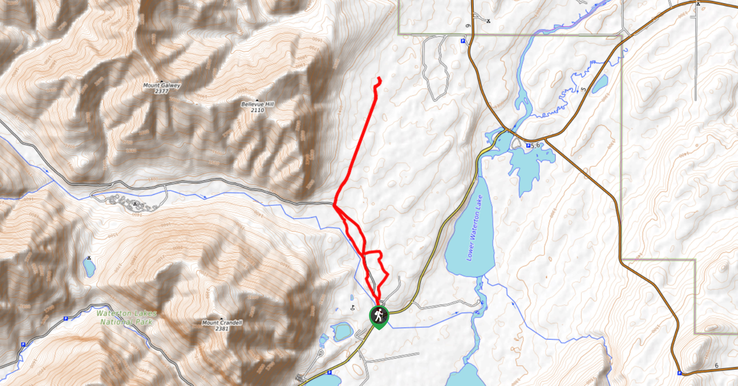
Wishbone Trail
View PhotosWishbone Trail
Difficulty Rating:
Starting from just out of town, the Wishbone Trail is a great hiking and biking trail that follows an old fire road. This trail links up to other popular scrambles in the area, including Vimy Peak and Crypt Lake. It’s a great trail for all abilities and easily modified to meet the distance you’re looking for.
Getting there
From the Town of Waterton, you’ll need to take Highway 5 eastbound to get to Wishbone Trail. Turn onto the Chief Mountain Highway and pull into the Wishbone Trail parking lot on the right.

About
| When to do | June–October |
| Backcountry Campsites | No |
| Pets allowed | Yes - On Leash |
| Family friendly | Yes |
| Route Signage | Average |
| Crowd Levels | Moderate |
| Route Type | Out and back |
Wishbone Trail
Elevation Graph
Weather
Wishbone Trail Description
The hike along the Wishbone Trail is very straightforward. The trail begins on an old fire road and narrows further down the trail. You’ll pass through the Maskinonge wetlands, which is an excellent place for birdwatching and photography.
Further down the trail, you will be required to cross Sofa Creek, which should be small and manageable in the summer. Catch views through the trees as they appear along this flat, forested trail. Beware that this is a multi-use trail, and you may run into cyclists and horseback riders along the trail.
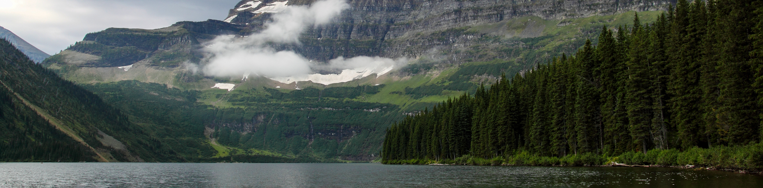
Other amazing walks in Waterton Lakes National Park
Check out our guides to Bertha Lake, Cameron Lake, Red Rock Canyon or Crypt Lake Hike. Or see all our hikes in Waterton Lakes National Park on 10Adventures.
Similar hikes to the Wishbone Trail hike
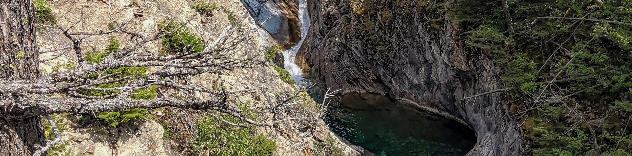
Hell Roaring Falls Hike
The hike to Hell Roaring Falls in Waterton Lakes National Park can be approached by bike, boat, or on foot.…
Bellevue Prairie Trail
The Bellevue Prairie Trail is shaped like a reverse lollipop route that gives hikers the option to take a small…
Akamina Lake Hike
The stroll to Akamina Lake is an easy trail that leads hikers 1640ft into the woods before reaching…
Comments