
Barnhardt Trail
View Photos
Barnhardt Trail
Difficulty Rating:
The Barnhardt Trail is a 12.0mi hike in the Tonto National Forest that feels very remote and is quite beautiful. If feeling like you’re far from the beaten path appeals to you, this could be your new favorite hike. The trail leads to a waterfall that doesn’t flow year-round, so visiting after rain will be your best bet to seeing it active, although we caution you to avoid this area if there’s flash flooding risk. You can also check out a slot canyon just off the trail and enjoy the views from the top viewpoint. Bring long pants to deal with the overgrowth.
Getting there
The trailhead for the Barnhardt Trail is on FR 419.

About
| Backcountry Campground | No |
| When to do | October-June |
| Pets allowed | Yes - On Leash |
| Family friendly | No |
| Route Signage | Average |
| Crowd Levels | Moderate |
| Route Type | Out and back |
Barnhardt Trail
Elevation Graph
Weather
Barnhardt Trail Description
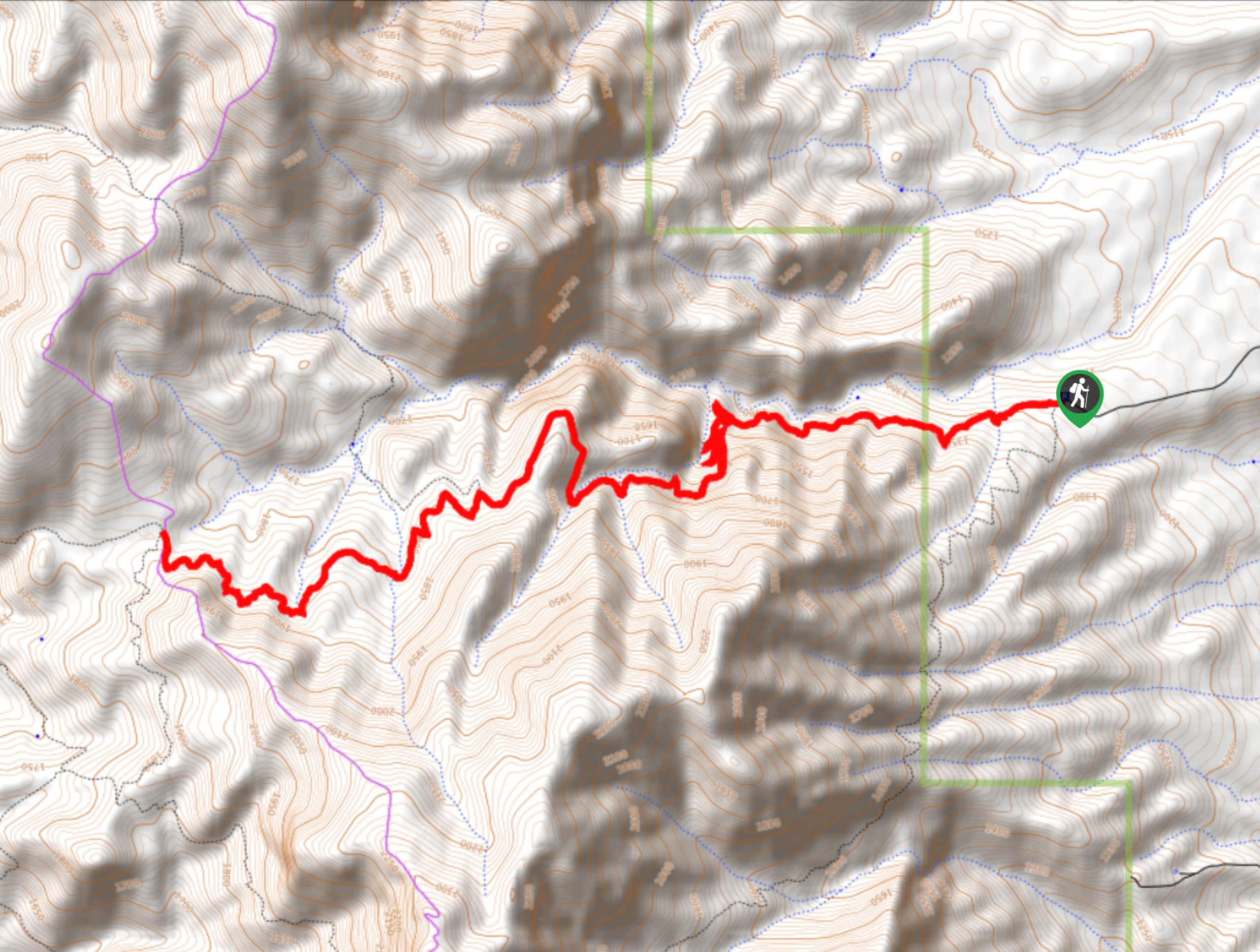
The Barnhardt Trail is a rewarding hike through a remote area defined by scrubby brush, red rock canyons, and dramatic rock formations. This hike feels quite rugged and off the beaten path, and it doesn’t see too much traffic. Add this hike to your list for the days when you want to get away from it all and try to visit when there’s been recent rain to fill out the waterfall.
This route is quite rocky and can be overgrown in places. Good boots and long pants are recommended. If you choose to hike in the warmer months, bring plenty of water and protect yourself from the sun with a hat and sunscreen.
From the trailhead, the hike rises gradually and consistently up the wall of the valley. Enjoy the trees and the blue sky above as you trek over the red dirt. Watch for a slot canyon on your left around mile 3.14. Where the creek splits (if it’s flowing), you’ll turn left to tackle a set of switchbacks. If the waterfall is flowing, you’ll see it soon after the switchbacks. The route continues to a viewpoint at a 3-way junction, where you’ll turn back and retrace your steps down to the trailhead.
Similar hikes to the Barnhardt Trail hike
Jacob’s Crosscut Trail
Jacob’s Crosscut Trail is an important route in the network of trails in Lost Dutchman State Park. This route is…
Bronco Trail
The Bronco Trail is a 7.9mi out and back route used for hiking and horseback riding. This trail…
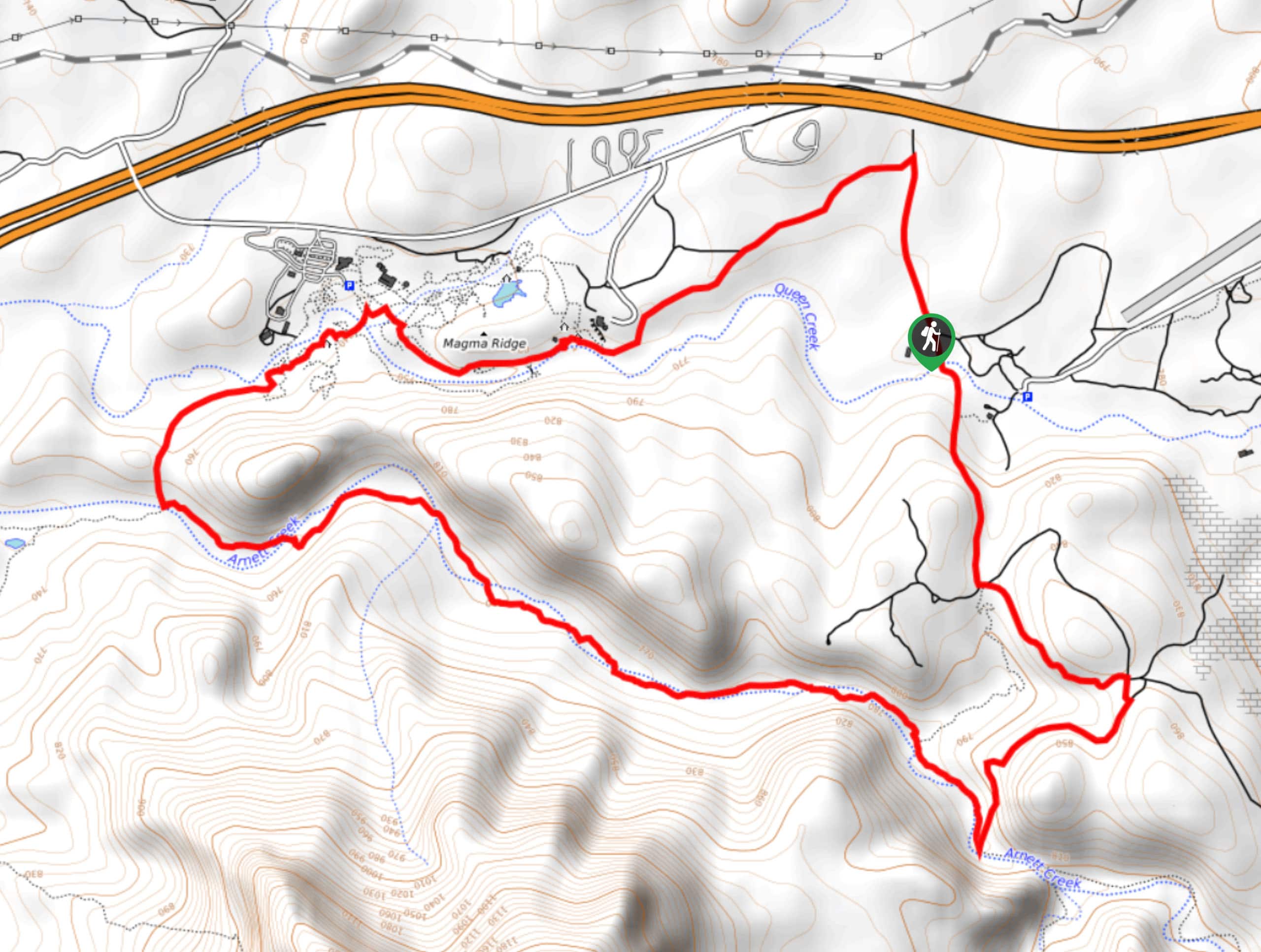
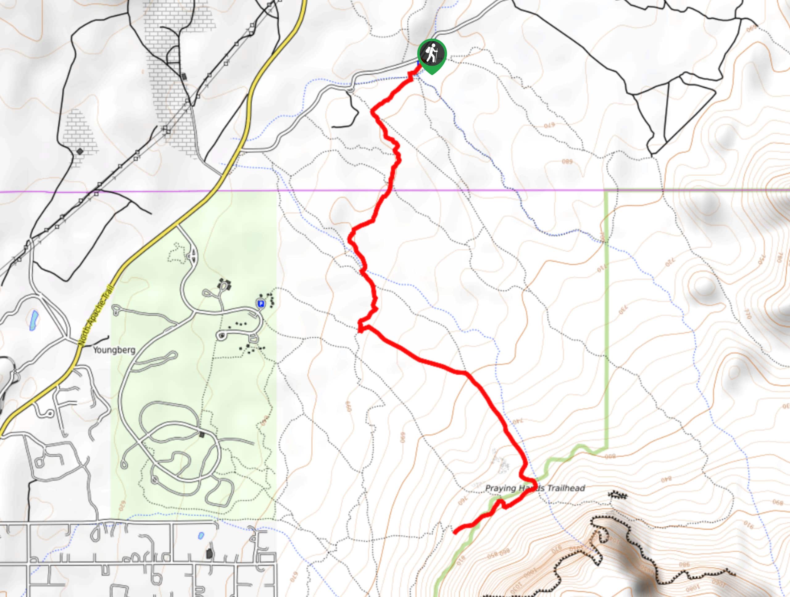
Perlite Road to Arnett Creek Loop
The Perlite Road to Arnett Creek Loop takes you through a section of the Boyce Thompson Arboretum grounds and through…
Comments