Beinn Dòrain and Beinn an Dòthaidh Walk
View Photos
Beinn Dòrain and Beinn an Dòthaidh Walk
Difficulty Rating:
The Beinn Dòrain and Beinn an Dòthaidh Walk winds atop two incredible Munros, replete with otherworldly scenery every step of the way. This challenging route isn’t your typical straightforward out-and-back, lollipop, or circuit route as it blends all three walk types into one, so be sure to bring a GPS for secure navigation.
Getting there
The Beinn Dòrain and Beinn an Dòthaidh Walk starts from the Bridge of Orchy car park.

About
| Backcountry Campground | No |
| When to do | May-October |
| Pets allowed | Yes - On Leash |
| Family friendly | No |
| Route Signage | Poor |
| Crowd Levels | Moderate |
| Route Type | Lollipop |
Beinn Dòrain and Beinn an Dòthaidh Walk
Elevation Graph
Weather
Beinn Dòrain and Beinn an Dòthaidh Walk Description
Discover an unveiling of quintessential rugged, stunning Highland scenery on the challenging Beinn Dòrain and Beinn an Dòthaidh Walk. This full-day adventure is best reserved for hillwalkers with some stamina built up as it has you gaining a significant amount of elevation as you tackle two Munros. Bring a lot of water and snacks to rehydrate and refuel throughout the journey!
From the car park, follow the signs for the train station and head there (you’ll be following West Highland Way). Go through the underpass at the station, through a gate, and a path, leaving West Highland Way, to go uphill up a grassy bowl towards the bealach. From here, you can reach both Munros, but we’ll start with Beinn Dòrain. Go south to walk over some rocks towards the ridge. At the fork by the ridge, keep left to walk along the ridge, past the cairn, and towards a bealach. Then, continue along the ridge towards the actual summit of Beinn Dòrain.
After, head back to the bealach from earlier to head towards the second Munro of this walk: Beinn an Dòthaidh. Head northeast across some slopes to skip out on a steep area and continue along a grassy section. The path can get boggy here—you may also lose the path for a bit. Eventually, you’ll find the path again, which travels up a bealach. Go north here to reach the summit of the second Munro.
But the walk doesn’t stop here! Continue for a short distance west along the slopes towards a cairn 3281ft and look for a small cairn located northwest, where the best view of the Beinn Dòrain and Beinn an Dòthaidh Walk awaits. From here, head back to the bealach from earlier and retrace your steps back to the car park.
Similar hikes to the Beinn Dòrain and Beinn an Dòthaidh Walk hike
The Saddle, Forcan Ridge and Sgùrr na Sgìne Walk
The Saddle, Forcan Ridge and Sgùrr na Sgìne Walk is a rugged adventure that boasts a thrilling challenge while unveiling…
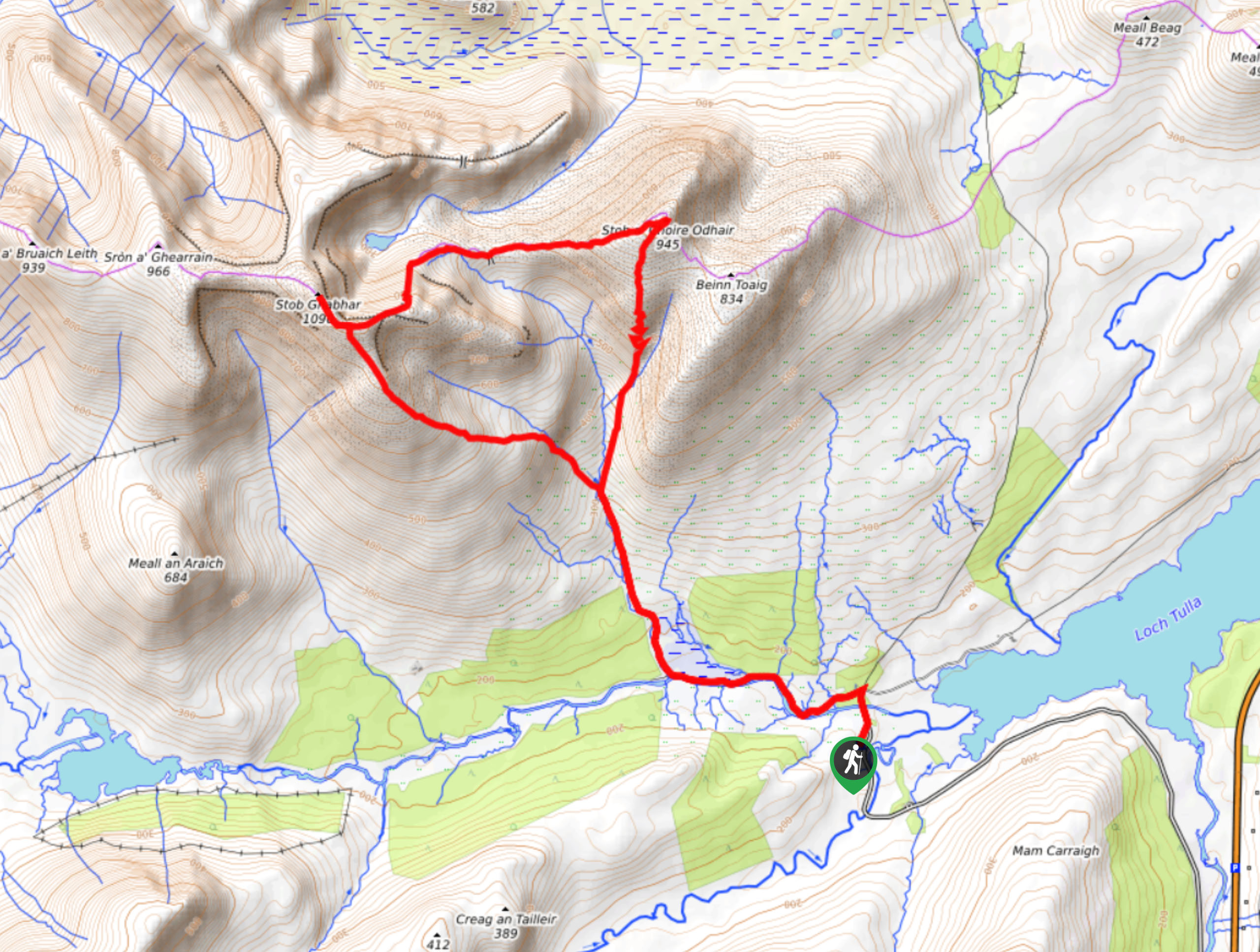
Stob Ghabhar and Stob a'Choire Odhair Walk
Confident and experienced hillwalkers should only attempt the Stob Ghabhar and Stob a'Choire Odhair Walk due to the elevation gain,…
Cul Mor Walk
The Cul Mor Walk has you climbing a mostly easy-to-follow path leading up a Corbett, a mountain just not big…
Comments