Sonora Peak Hike
View Photos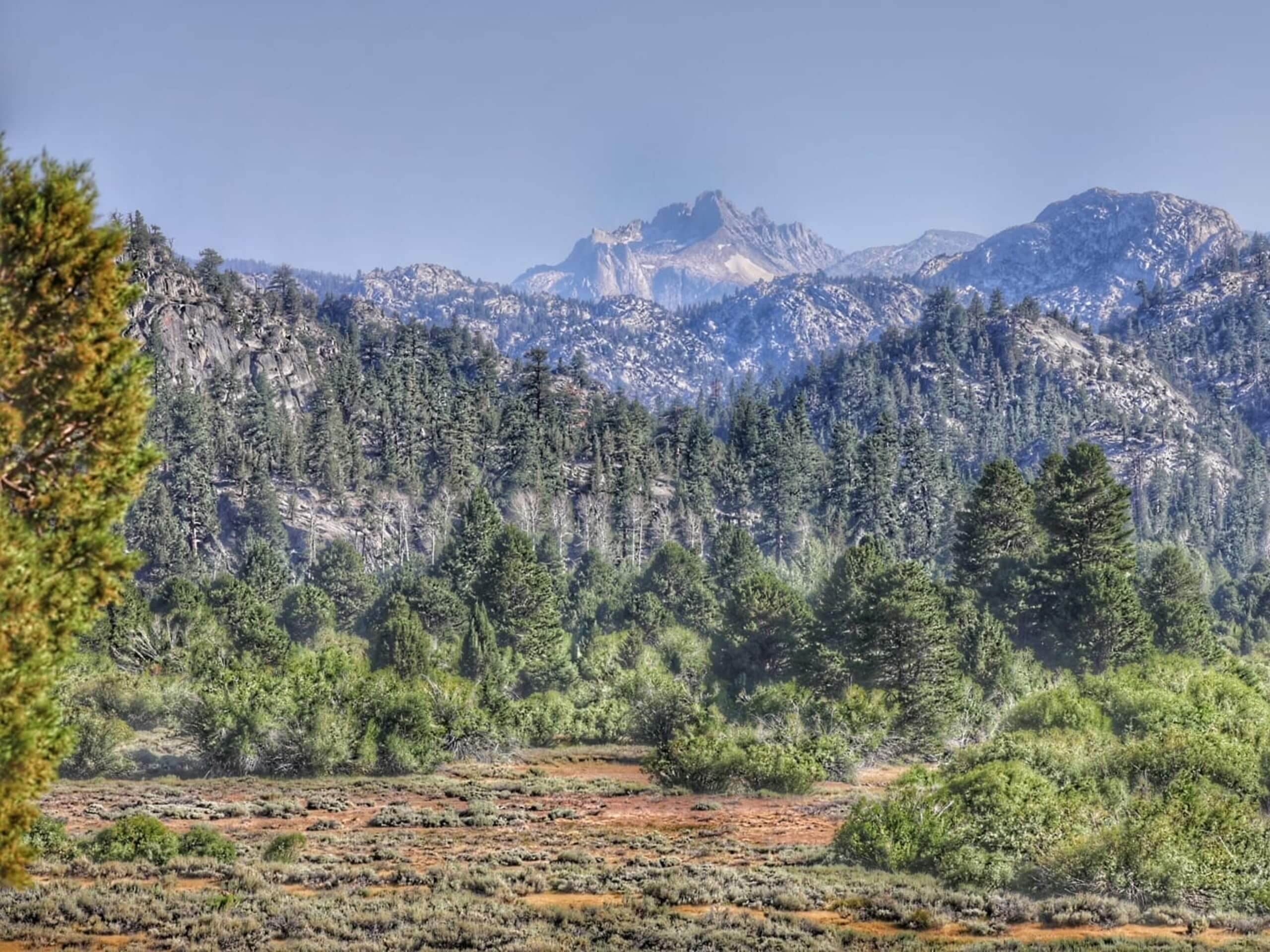
Sonora Peak Hike
Difficulty Rating:
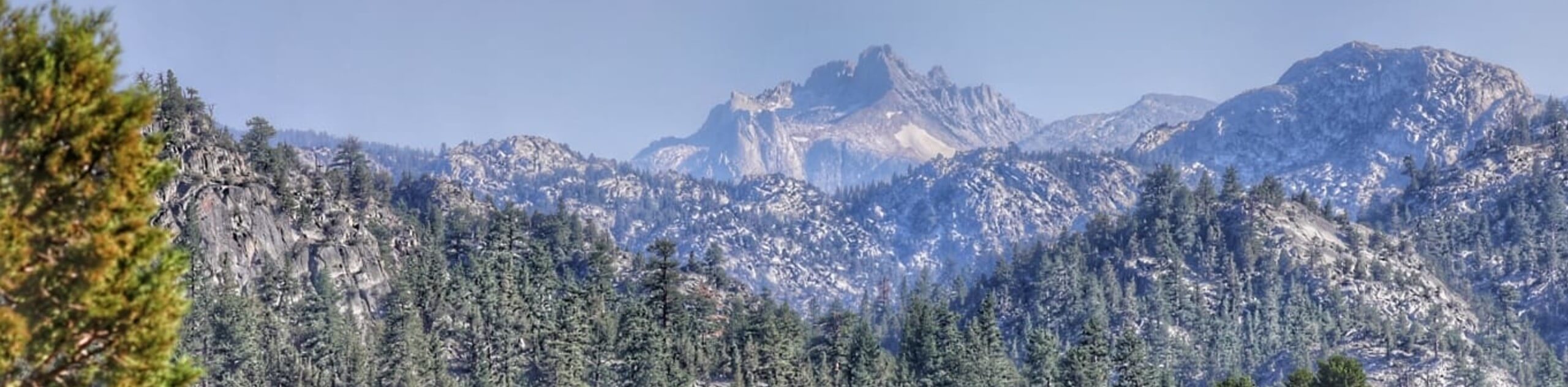
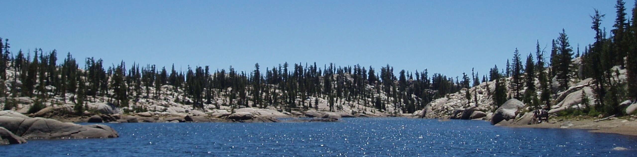
Hike up to the summit of the Stanislaus National Forests’ highest peak along the Sonora Peak Hike. This demanding adventure rewards impressive scenes of the High Sierra from above the second-highest mountain pass in the Sierra Nevada Mountain Range.
Getting there
The Sonora Peak Hike is accessed via the Sonora Peak Trailhead off CA-108.

About
| Backcountry Campground | Backcountry Camping, wilderness permit required. |
| When to do | Year-round |
| Pets allowed | No |
| Family friendly | No |
| Route Signage | Average |
| Crowd Levels | Moderate |
| Route Type | Circuit |
Sonora Peak Hike
Elevation Graph
Weather
Sonora Peak Hike Description
The Sonora Peak Trail is an incredible adventure that boasts breathtaking scenery of the Sierra Nevada Mountain Range. Wander through mixed woodlands before scrambling up the rocky scree to the summit of Sonora Peak. Note this path requires endurance and a sturdy pair of footwear as you will require to do some rock-climbing! Mind your footing and try to summit before noon to mitigate the chances of getting caught in a nasty afternoon storm. Though a trail GPS is not necessary, it is recommended as sections of the route are hard to follow, especially when snow cloaked.
Setting out from the trailhead off CA-108, the Sonora Peak Hike follows the Stanislaus Peak Trail. This route will guide you north, immediately climbing through a thinning forest of pines and over snow-melt streams. Eventually, you will reach an intersection; keep right here. At this point, the trail will become more intense, requiring some scrambling over the rocky scree. Take your time and mind your footing as you navigate the technical terrain to the summit. You will be granted panoramic views of the Sierra Nevada from atop the peak. Marvel in the grandeur of the mountainous landscape, then continue hiking southeast down the eastern slope of the summit.
At the next junction, turn right onto the PCT, which will redirect you southwardly. Gradually descending back beneath the treeline, you will eventually reach CA-108. From here, turn right and walk along the shoulder of the road back to the trailhead.
Similar hikes to the Sonora Peak Hike hike
Folger Peak Hike
The Folger Peak Hike is an awesome adventure that boasts 360-degree, panoramic vistas of the high country. This wonderful adventure…
Pinecrest Lake and Pinecrest Peak Loop
The alpine terrain is just waiting to be explored, and the Pinecrest Lake and Pinecrest Peak Loop is a great…
Y Meadow Lake Trail
Why hike the Y Meadow Lake Trail? Well, the Y Meadow Lake Trail is an incredible adventure through the Stanislaus…
Comments