Herring Creek Lane and Pinecrest Lake Loop
View Photos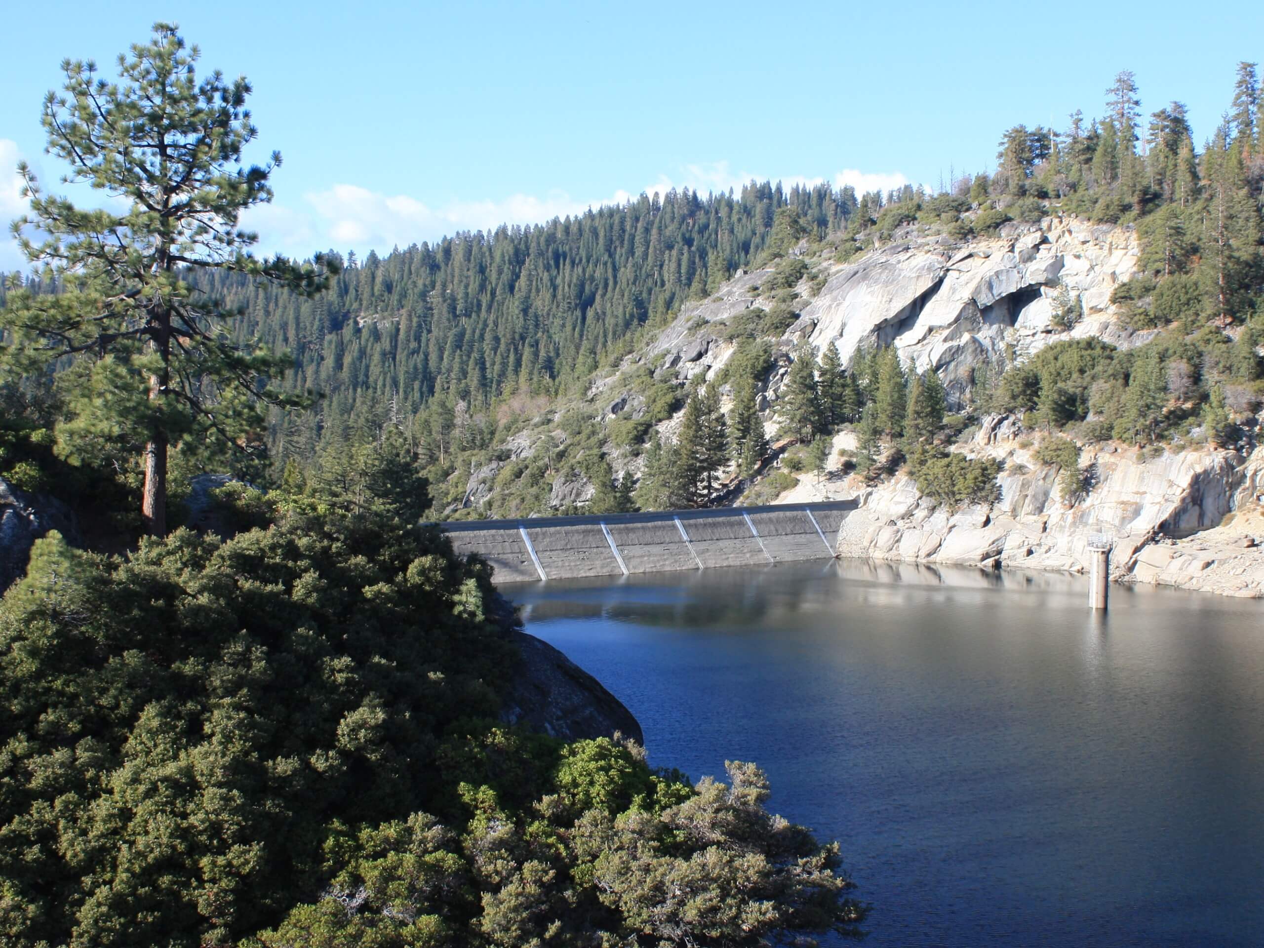
Herring Creek Lane and Pinecrest Lake Loop
Difficulty Rating:
The Herring Creek Lane and Pinecrest Lake Loop is a wonderful adventure in the Stanislaus National Forest that offers epic alpine views. Put your navigational skills to the test as you explore the unmarked backcountry routes.
Getting there
This hike begins from Herring Creek Lane.

About
| Backcountry Campground | No |
| When to do | April-October |
| Pets allowed | Yes - On Leash |
| Family friendly | Yes |
| Route Signage | Poor |
| Crowd Levels | Low |
| Route Type | Lollipop |
Herring Creek Lane and Pinecrest Lake Loop
Elevation Graph
Weather
Herring Creek Lane and Pinecrest Lake Loop Description
Leading adventurers along the shoreline of Pinecrest Lake and through the mixed woodlands, the Herring Creek Lane and Pinecrest Lake Loop is an unparalleled experience. Much of this route travels along unmarked trails, so be sure to download the trail GPS prior to your adventure! Additionally, the backcountry route travels along an old logging track, so there are sections of barbed wire—so mind your footing! If you are afraid of doing some off-roading then you will love this stimulating trek!
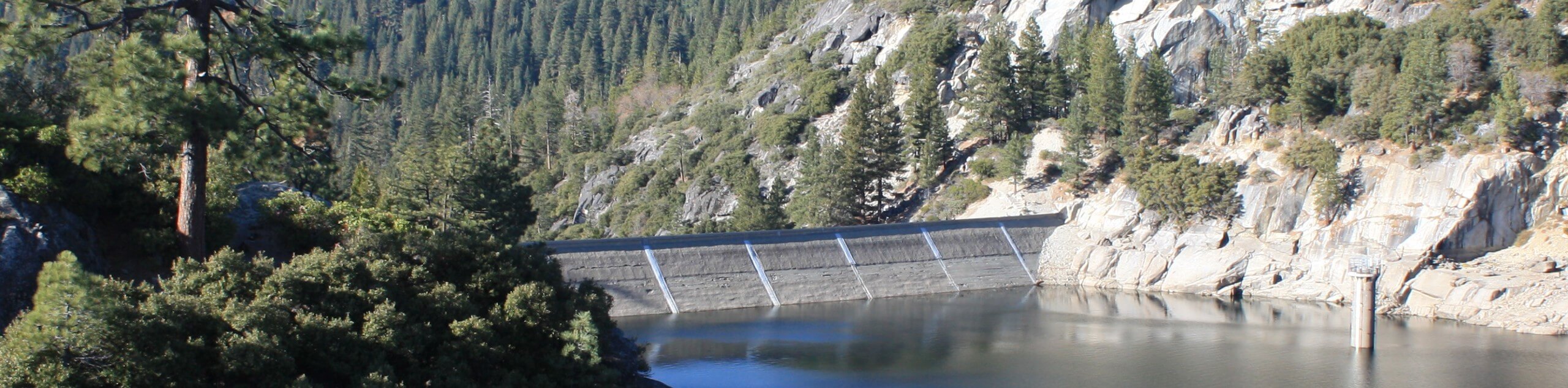
Embark on your journey along the Herring Creek Lane and Pinecrest Lake Loop from Herring Creek Lane. From here, track northeast along the lane before diverting east over Herring Creek and along the un-signposted path. Soon after your departure, you will encounter an intersection; veer left here. Using the trail GPS, you will be guided northeast up to Catfish Lake, a small alpine lake. At this point, you will reach an intersection, turn right, and you will be diverted down the Pinecrest Peak Trail. This route will curve southwest down to the shoreline.
From the shore, you will be granted expansive vistas of Pinecrest Lake; enjoy! Hike west along the Pinecrest Lake Trail to the dam, where you will continue west back to Herring Creek Lane, marking the end of your adventure.
Similar hikes to the Herring Creek Lane and Pinecrest Lake Loop hike
Folger Peak Hike
The Folger Peak Hike is an awesome adventure that boasts 360-degree, panoramic vistas of the high country. This wonderful adventure…
Long Gulch Ridge Loop
Adventure the Long Gulch Ridge Loop for an exciting, scenic experience in the Stanislaus National Forest. This shared route travels…

Eagle Meadow Hike
Hiking the Eagle Meadow Trail makes for a unique experience. Hike amongst equestrians through the expansive meadowlands along Eagle Creek…
Comments