Arnold Rim Trail: San Domingo Section
View Photos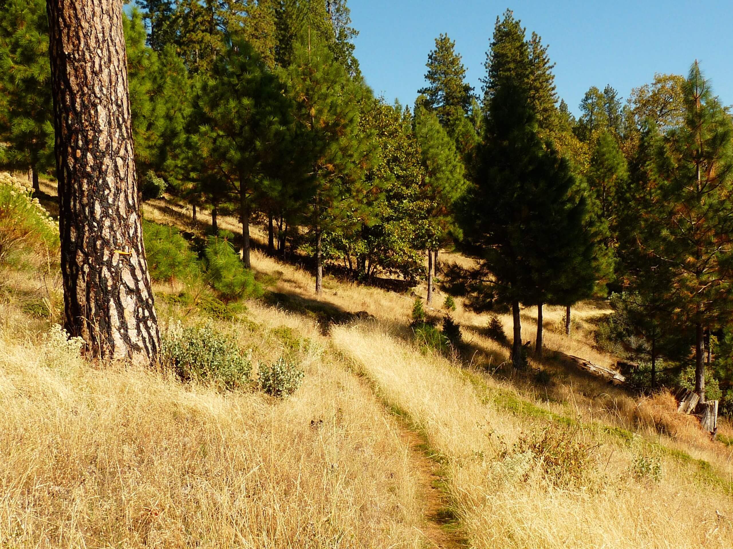
Arnold Rim Trail: San Domingo Section
Difficulty Rating:
The beauty of a one-way trail is that there is a new scene to indulge in every step of the way. The Arnold Rim Trail: San Domingo Section is an amazing point-to-point adventure ideal for intermediate hikers or families with older children.
Getting there
The Arnold Rim Trail: San Domingo Section departs from the trailhead off Avery Sheep Ranch Road.

About
| Backcountry Campground | No |
| When to do | Year-round |
| Pets allowed | Yes - On Leash |
| Family friendly | Yes |
| Route Signage | Poor |
| Crowd Levels | Moderate |
| Route Type | One Way |
Arnold Rim Trail: San Domingo Section
Elevation Graph
Weather
Arnold Rim Trail: San Domingo Section Description
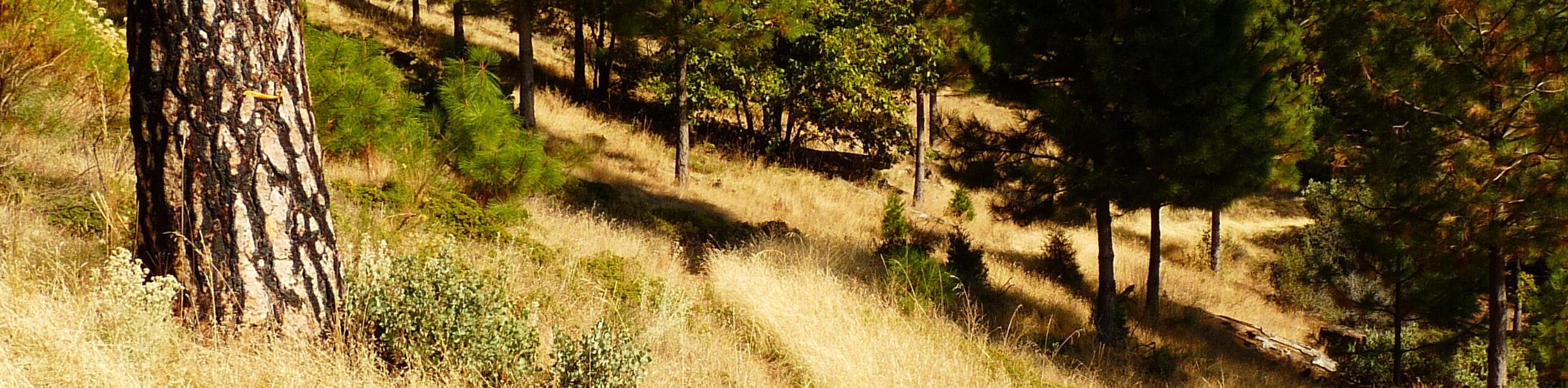
Put your navigational skills to the test along the Arnold Rim Trail: San Domingo Section. This epic one-way excursion boasts a relaxing adventure through mixed woodlands adorned with granite outcrops and snowmelt streams. Note that the route is overgrown and not well signposted in areas, so we strongly encourage using the trail GPS! As this route is a point-to-point, don’t forget to leave a car or arrange for pickup at the trail’s end.
Embark on your adventure along the Arnold Rim Trail: San Domingo Section from the trailhead off Avery Sheep Ranch Road. The initial segment of the route necessitates the use of the GPS. Wander along the forest route before diverting off the route onto the Arnold Rim Trail – San Domingo Trail. Using the trail GPS, this overgrown, unmarked path travels eastwardly, weaving between mixed woodlands and meadowlands. Eventually, you will hike down into a valley intersecting with San Domingo Creek.
From here, the path will climb back up the walls of the valley up to the trail’s end at Highway 4—marking the end of your adventure.
Similar hikes to the Arnold Rim Trail: San Domingo Section hike

Folger Peak Hike
The Folger Peak Hike is an awesome adventure that boasts 360-degree, panoramic vistas of the high country. This wonderful adventure…
Long Gulch Ridge Loop
Adventure the Long Gulch Ridge Loop for an exciting, scenic experience in the Stanislaus National Forest. This shared route travels…

Eagle Meadow Hike
Hiking the Eagle Meadow Trail makes for a unique experience. Hike amongst equestrians through the expansive meadowlands along Eagle Creek…
Comments