Southease and the River Ouse hike
View Photos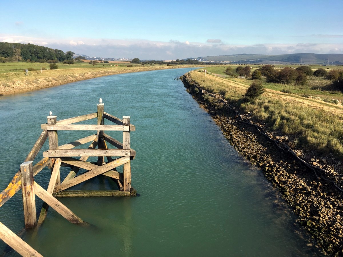

Southease and the River Ouse hike
Difficulty Rating:
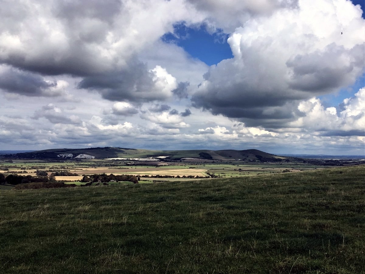
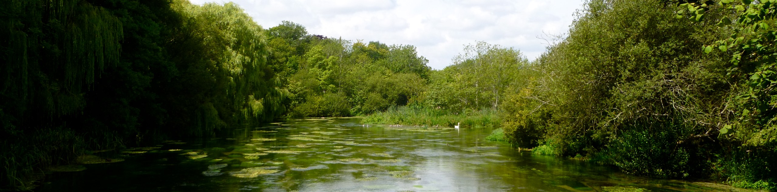
Explore the South Downs on this pleasant and quiet walk. This hike is a real immersion into quintessential English countryside. Prepare to stroll alongside the River Ouse before slowly climbing uphill to be rewarded with far reaching views from the South Downs Way. Stay at the YHA South Downs for easy access.
Getting there
The hike starts from the Southease railway station which has regular train links into London and the surrounding area. If travelling by car use postcode BN8 6JS, there’s ample free parking in the nearby lanes.

About
| When to do | Year Round |
| Backcountry Campsites | No |
| Toilets | Yes |
| Family friendly | Yes |
| Route Signage | None |
| Crowd Levels | Low |
| Route Type | Circuit |
Southease and the River Ouse
Elevation Graph
Weather
Route Description for Southease and the River Ouse
Exit Southease railway station via platform 1 and walk down the lane to the left. Follow the lane around to the right and cross the bridge over the River Ouse.
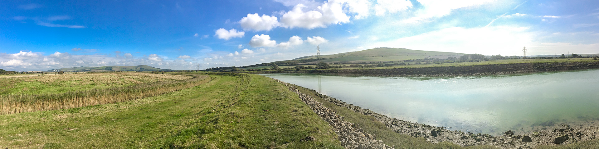
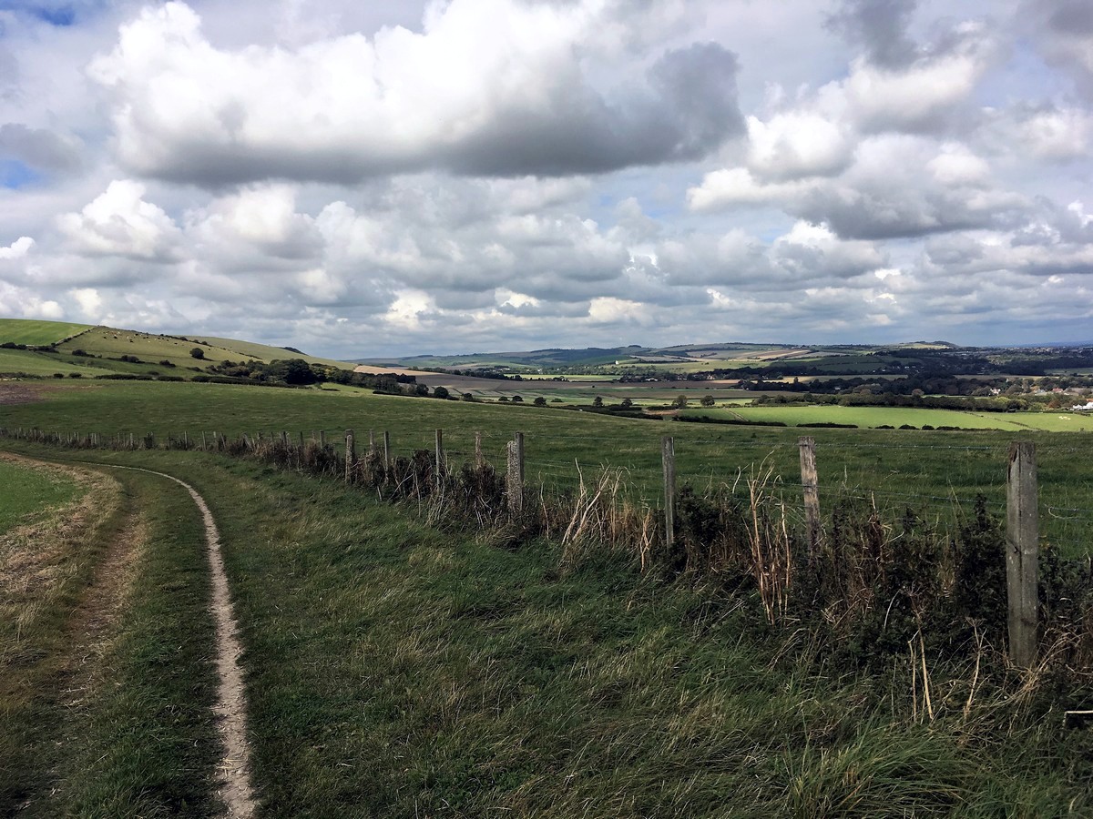
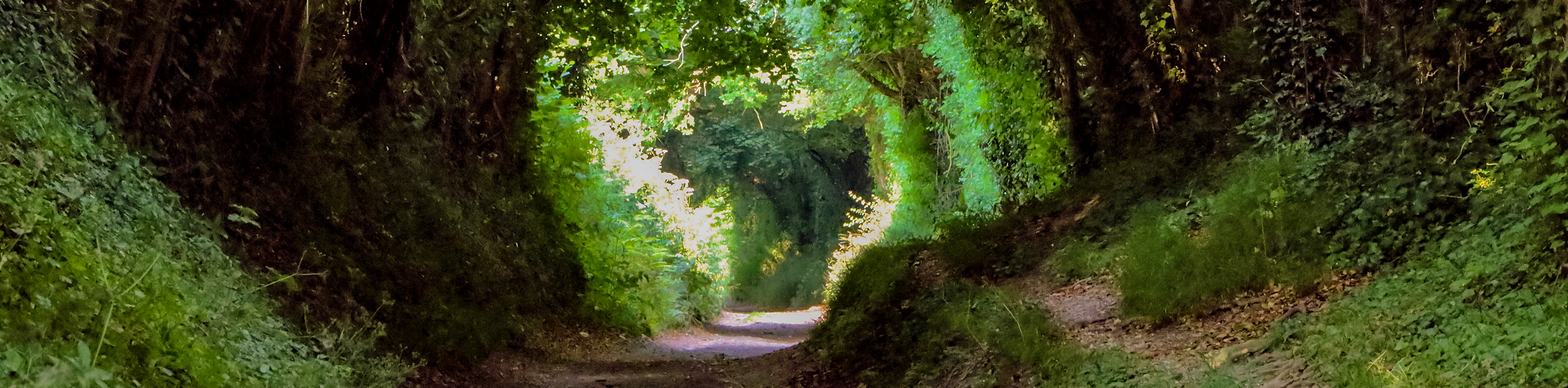
Once over the river go right by passing through the first gate on your right. Follow the trail above the river for the next 1.0mi until you pass through the second kissing gate. A more sheltered gravel path runs parallel on your left. This sheltered gravel path offers protection on a windy day, but doesn’t benefit from the same views.
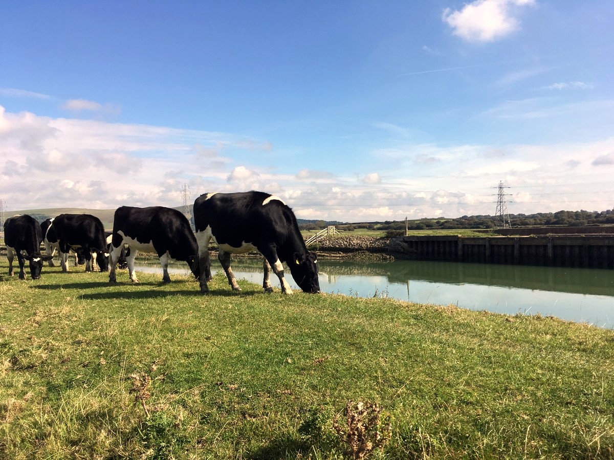
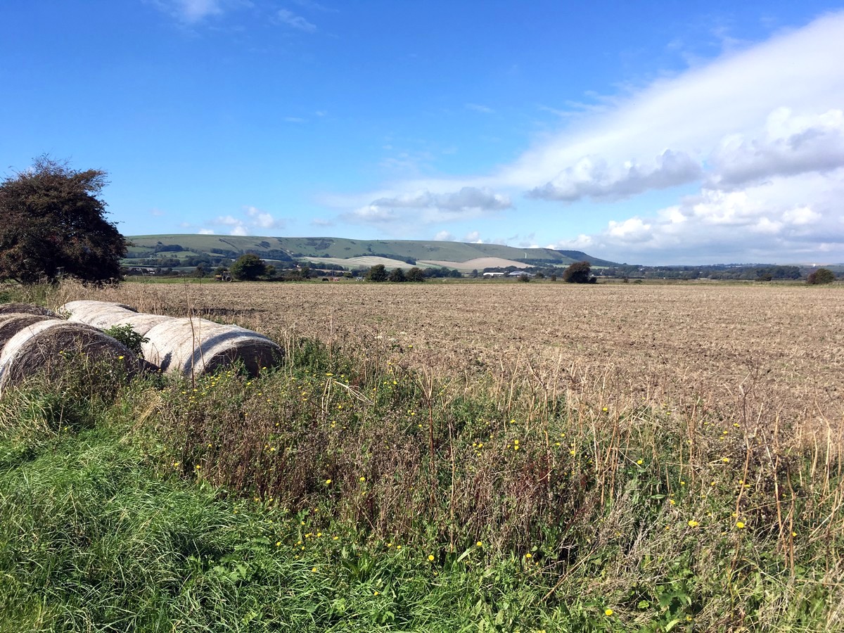
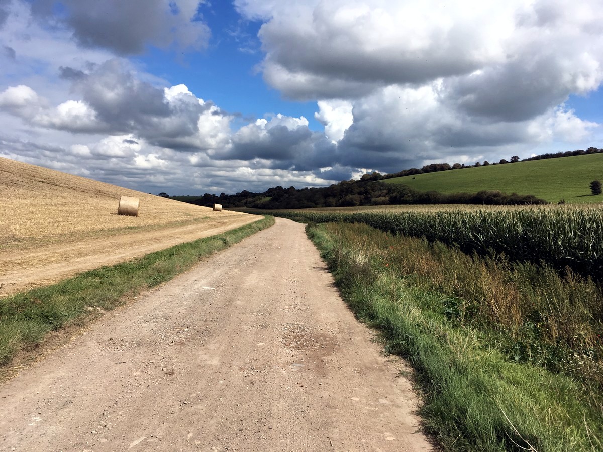
After the second kissing gate, turn left and leave the River Ouse. Walk down the embankment and onto the public bridleway towards Rodmell. Follow this trail, through three gates, until you reach the National Trusts Monks House, the 17th Century retreat of Leonard and Virginia Woolf. Continue a short while longer after Monks House until you see a public footpath sign on the right, just after the school and between the houses ‘Denholme’ and ‘Johns’. Turn right down this footpath and walk ahead, through a small field and over a brick stile in the left-hand corner. Continue straight on across the farmers field ahead of you, until you reach Piddinghoe Road.
Cross the road with care and then walk along the grass verge, through Northease. Turn left shortly after Northease Manor School, into the driveway for Northease Farm.
Walk up the lane and directly through the farm which slowly winds its way uphill, to the top of the South Downs. Turn left onto the South Downs Way when you reach the top and admire the views of Mount Caburn and the Lewes downs.
Follow signs for the South Downs Way all the way back to the Southease. When you reach Corhams Lane, turn left and cross over the main road, then turn left again down the next side road and follow it back to the station.
Insider Hints
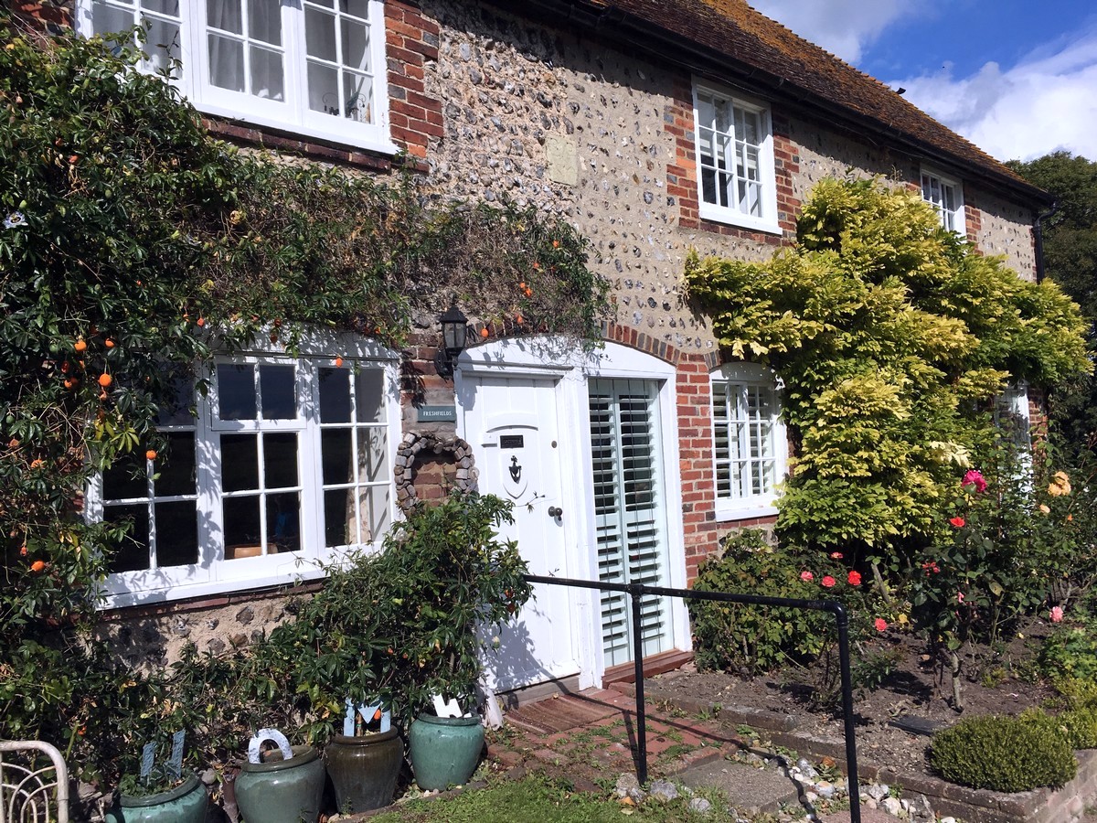
The South Downs YHA is just a short walk from the Southease station and offers everything from dorm beds and private rooms to yurts and pods, all at low prices.
Monks House is a National Trust site and for a small fee you can visit the quaint cottage and gardens, restored exactly as they would have been in the 17th Century. The house is only open March-October, Wednesday to Sunday, so check times before visiting.
The Abergavenny Arms is a lovely, family run, pub in Rodmell. They serve locally sourced food and have a great outdoor patio for resting on warmer days. To get there, just continue straight on after passing Monks House, it’s a short and easy detour from the trail.

Similar hikes to the Southease and the River Ouse hike
Avington and Ovington Walk
Meander through lovely countryside fields and across bridges leading you over rivers carved into the stunning South Downs landscape on…
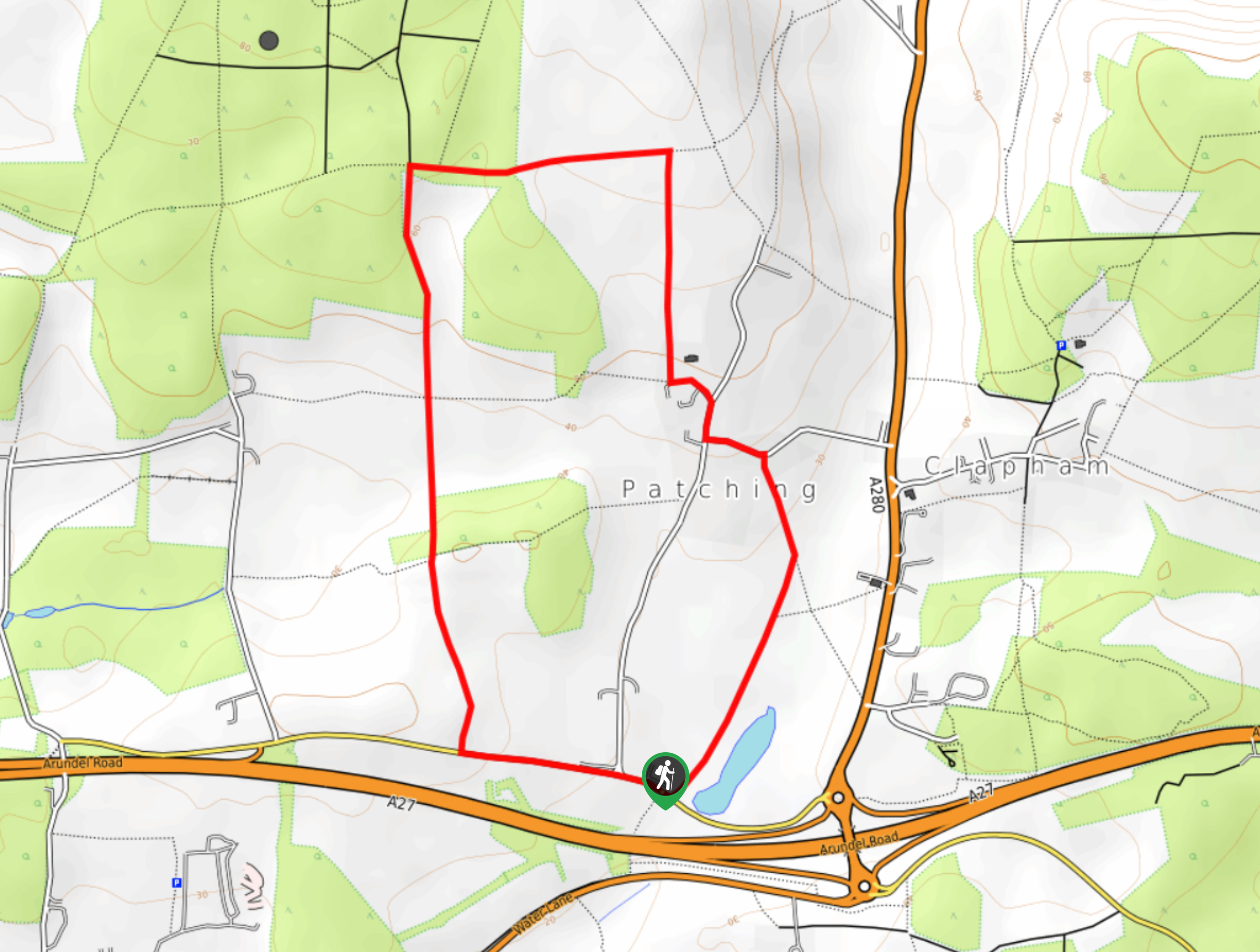
Worlds End and Patching Circular Walk
The Worlds End and Patching Circular Walk is a great path for the whole family, thanks to the gentle gradient…
Halnaker Circular Walk
The Halnaker Circular Walk is a beautiful stroll filled with open meadows, woodland and stunning scenery. There are stiles and…
Kaye Mcdonalds 4 years ago
We had a quick trip in here to take some nature shots. It was fantastic.
Mr Dean 4 years ago
Had some nice stroll here. Highly recommended if you got energetic kids! They had so much fun as well.
jaehoo 4 years ago
good walk and nice weather. very easy
dancraig 4 years ago
Great place! The children enjoyed running around.
Colt L 4 years ago
Reminds me of good old times with my friends.
markbailey 4 years ago
The tranquil river and majestic open fields were simply perfect for family bonding!
kimsam 4 years ago
it was a lovely place to roam around, but don't forget to bring enough water. i sweat a lot because the sun heat.
Cassie Saab 4 years ago
This hike might be too open for my liking. We already get soaked before we found a shade after the sudden rain.
happytree 4 years ago
Great place for outdoor enthusiasts! There are plenty of other things you can do.
Harrypotter 4 years ago
Quiet countryside for miles. Loved it.