Cissbury Walk
View Photos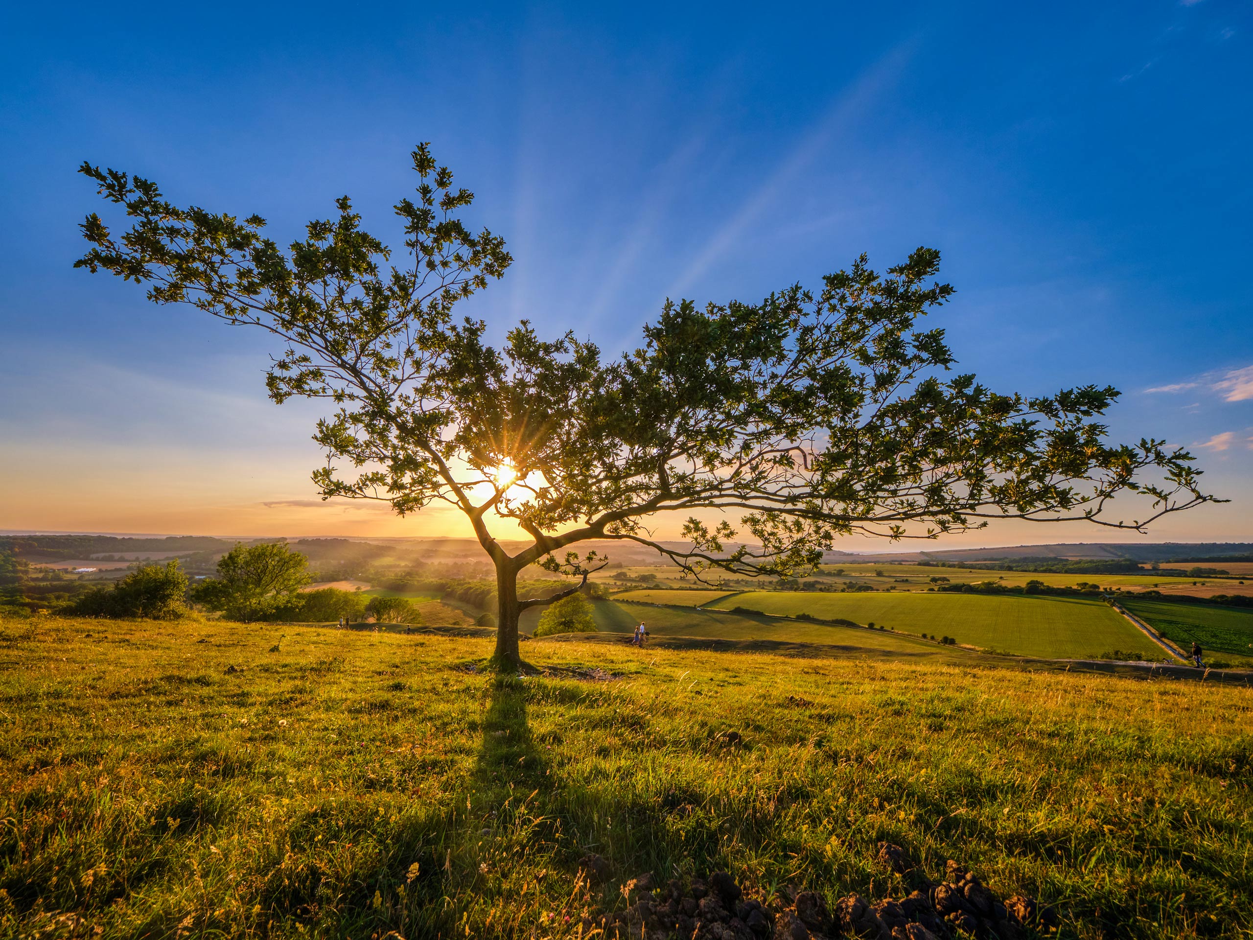
Cissbury Walk
Difficulty Rating:
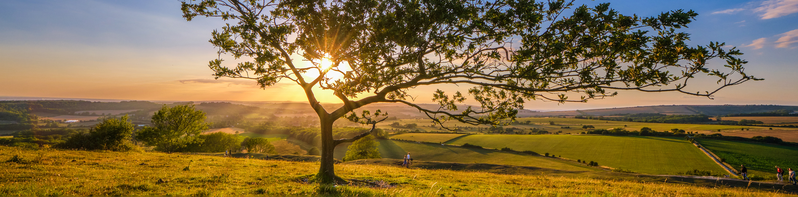
The Cissbury Walk takes you along the largest fort hill in Sussex and boasts beautiful views. Many animals, such as free-roaming ponies, live along this path. Take a heart-pumping climb up the Cissbury Ring and revel in the stunning scenery.
Getting there
To get to Cissbury Walk from Findon, head south on Horsham Road toward School Hill and turn left. Continue onto Cross Lane and take a slight left onto Nepcote. In 0.3mi, turn left and continue straight where you will arrive at your destination.

About
| When to do | May - October |
| Backcountry Campsites | No |
| Pets allowed | Yes |
| Family friendly | No |
| Route Signage | Average |
| Crowd Levels | Moderate |
| Route Type | Circuit |
Cissbury Walk
Elevation Graph
Weather
Cissbury Walk Description
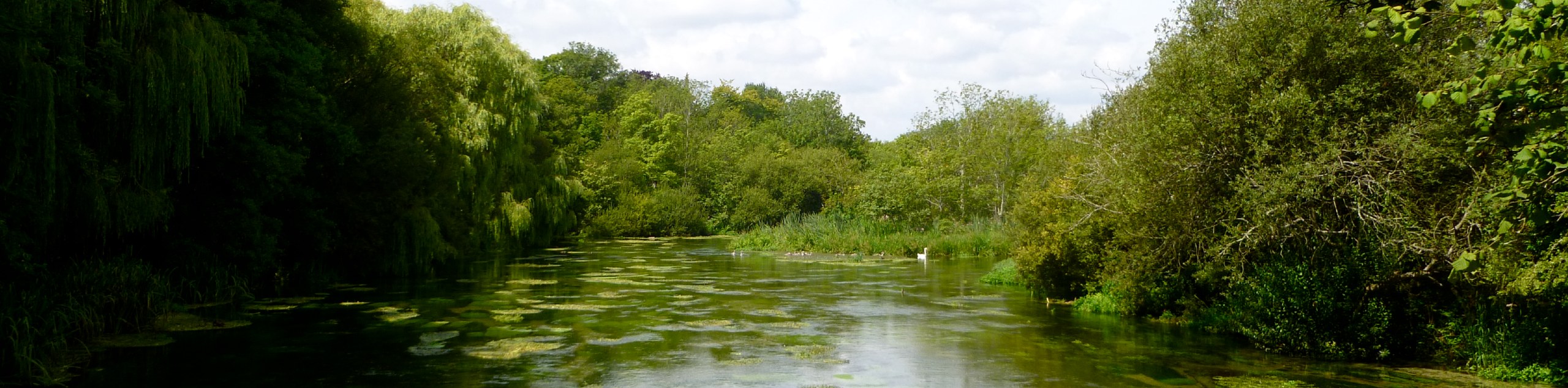
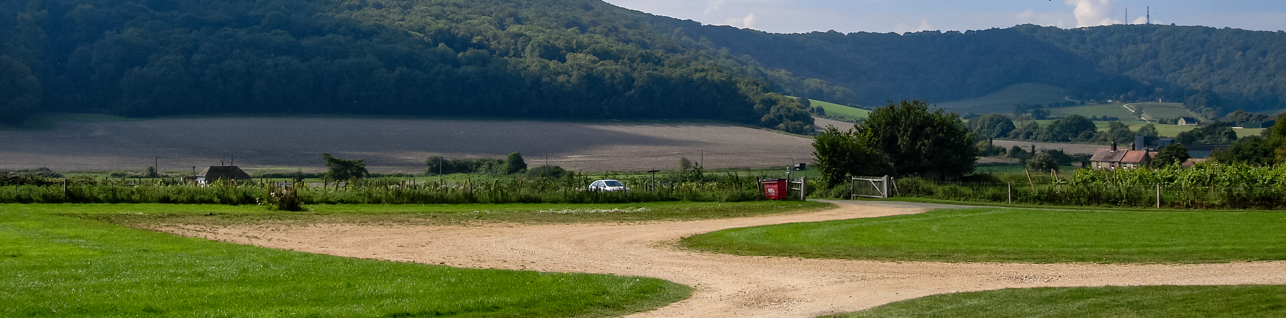
The Cissbury Walk takes you along the rolling countryside and boasts stunning views after a heart-pumping climb up to the top of Cissbury Ring. Beginning at the stone track at the fenced fields, follow the path through multiple fields and into a valley known as Stump Bottom. After walking for 1.2mi, you will pass Lychpole Dewpond and pass a green metal barn. Continuing on about 230ft, you will pass through a wooden gate, which is the entrance to the Cissbury Ring. Continue to follow the path through a kissing gate, and take a minute to realize how high you have climbed. Once you reach the top, there are stunning views of Brighton, Devil’s Dyke, and Storrington. Continue to follow the path and navigate a kissing gate followed by another gate, and you will reach the car park where you began.
Similar hikes to the Cissbury Walk hike
Avington and Ovington Walk
Meander through lovely countryside fields and across bridges leading you over rivers carved into the stunning South Downs landscape on…
Amberley Wild Brooks Walk
The Amberley Wild Brooks and Bignor Roman Villa Walk offers a special mix of views, wildlife and history. The George…
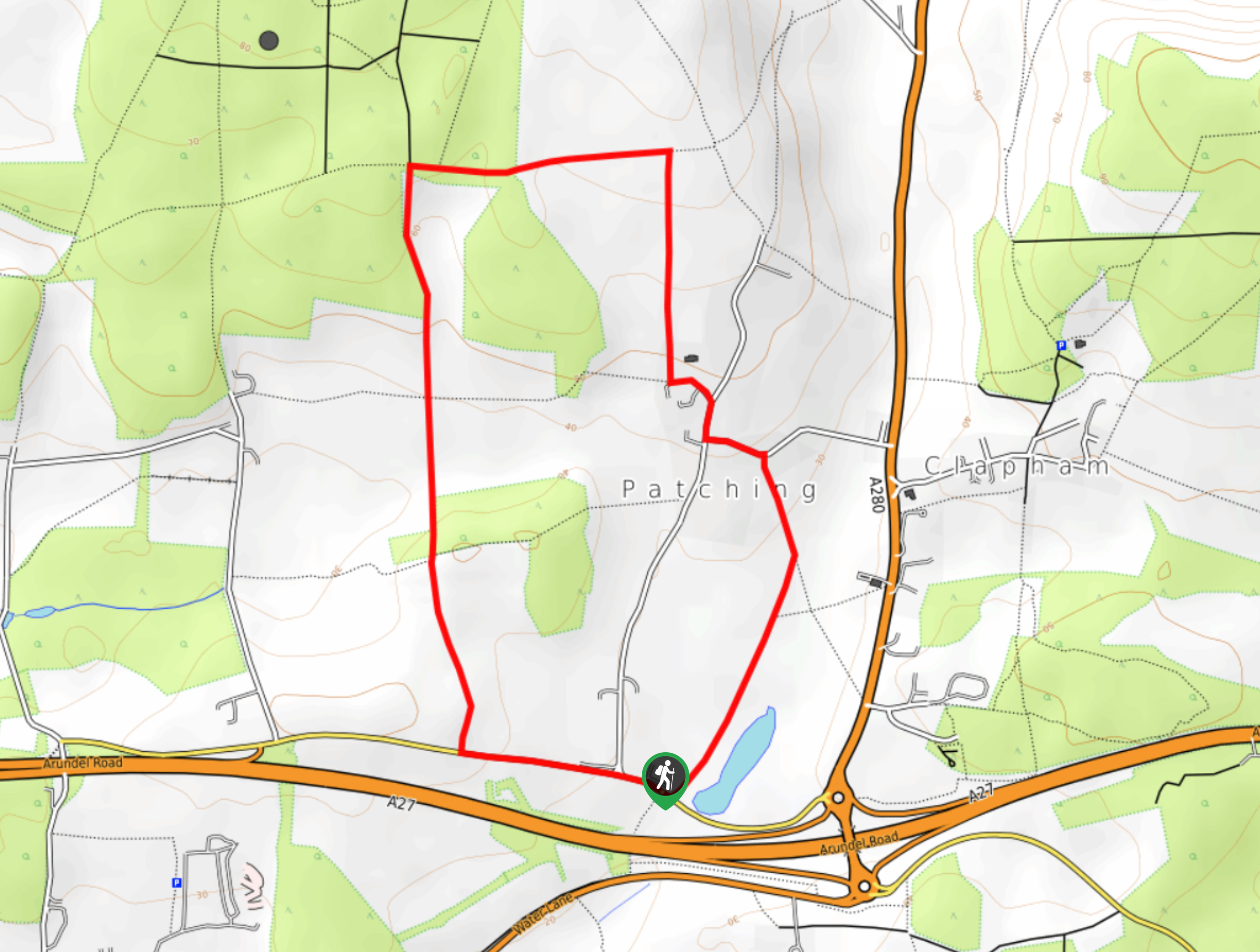
Worlds End and Patching Circular Walk
The Worlds End and Patching Circular Walk is a great path for the whole family, thanks to the gentle gradient…
Comments