
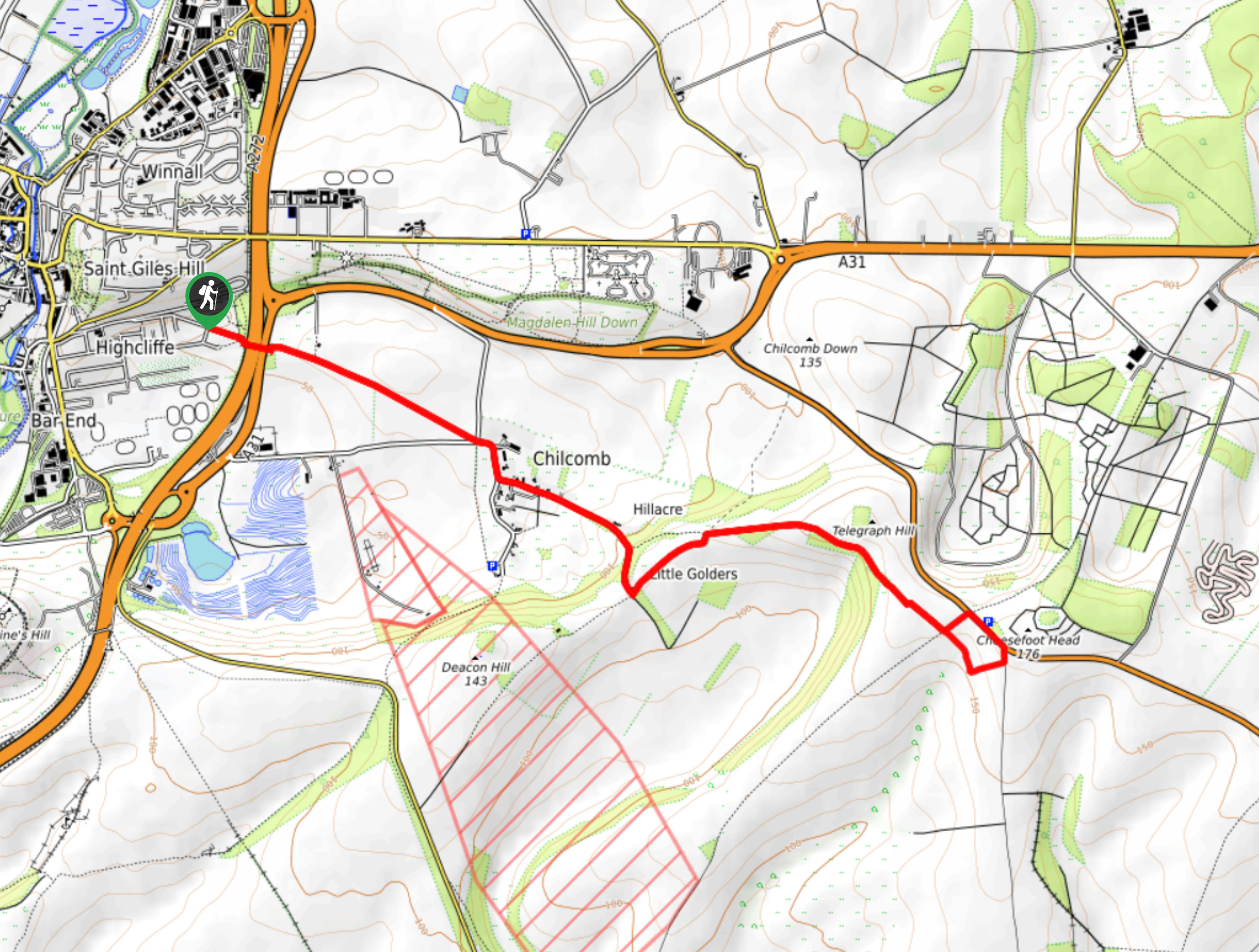
Cheesefoot Head Walk
View Photos
Cheesefoot Head Walk
Difficulty Rating:
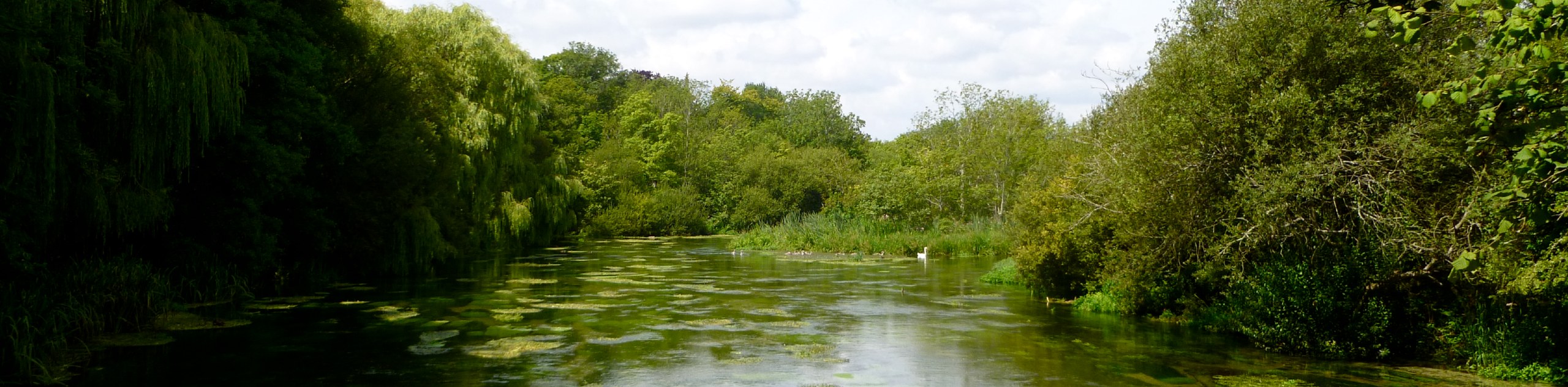
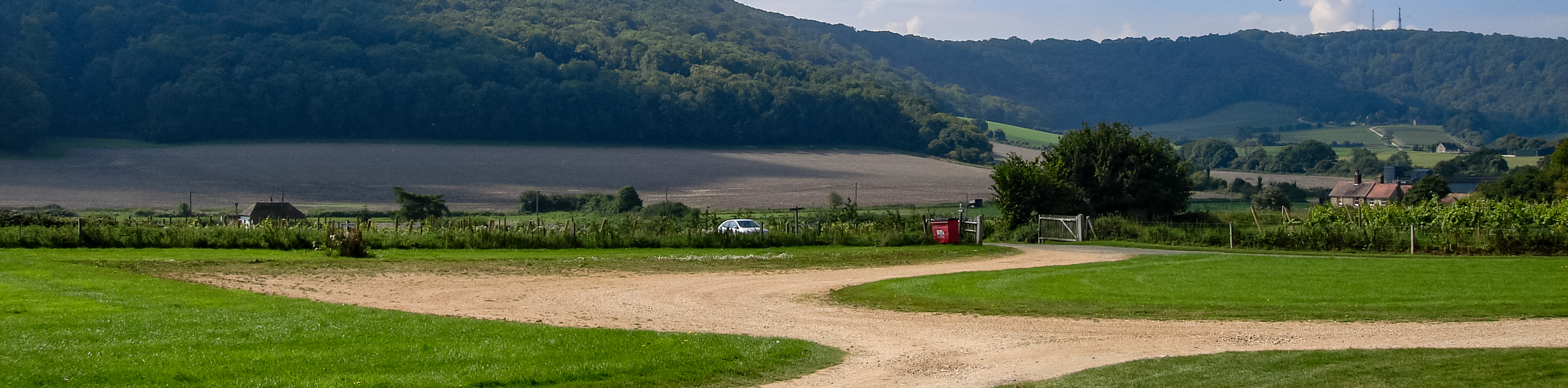
The Cheesefoot Head Walk is a gorgeous path that boasts many lovely views of the English countryside, including The New Forest, Isle of Wight, Butser Hill and The South Downs. The walk will also take you to a large natural amphitheatre that you can explore. Spend some time in nature as you wander along the wooded area of the trails.
Getting there
To get to the Cheesefoot Head Walk from Winchester, head east on Colebrook Street toward High Street/B3330. Turn right onto Bridge Street/B3330 and at the roundabout, take the 1st exit onto Bridge Street/B3404. At Percy Hobbs Roundabout, take the 2nd exit onto Petersfield Road/A31, and in 0.3mi, keep left to continue on A272. In 1.0mi, you will arrive at your destination.

About
| When to do | April - October |
| Backcountry Campsites | No |
| Pets allowed | Yes |
| Family friendly | No |
| Route Signage | Average |
| Crowd Levels | Moderate |
| Route Type | Out and back |
Cheesefoot Head Walk
Elevation Graph
Weather
Cheesefoot Head Walk Description
The Cheesefoot Head Walk is a captivating journey through the countryside of England and boasts views across Hampshire. Begin your walk at the large natural amphitheatre that you will see when you leave the car park. Follow the footpaths and markers and make your way to the woodlands.
Spend time exploring this area as you keep on the footpaths, and you will come across Lane End and Beauworth. Here you will follow Holden Lane along the South Downs Way and cross Gander Down. Head South as you pass the woodland located in Temple Valley and continue until you reach the car park where you began.
Similar hikes to the Cheesefoot Head Walk hike
Avington and Ovington Walk
Meander through lovely countryside fields and across bridges leading you over rivers carved into the stunning South Downs landscape on…
Amberley Wild Brooks Walk
The Amberley Wild Brooks and Bignor Roman Villa Walk offers a special mix of views, wildlife and history. The George…
Worlds End and Patching Circular Walk
The Worlds End and Patching Circular Walk is a great path for the whole family, thanks to the gentle gradient…
Comments