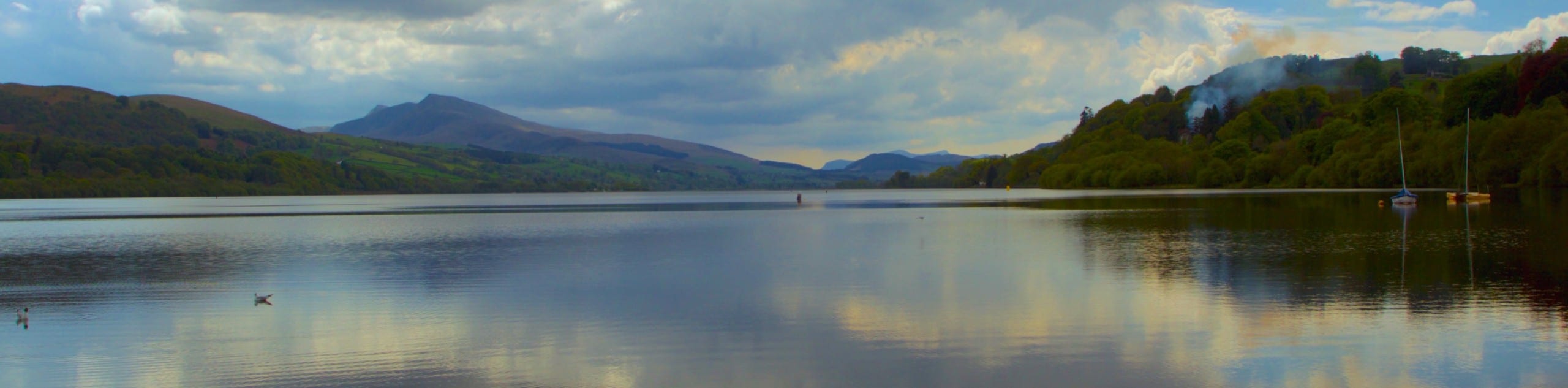
Llyn Tegid
View Photos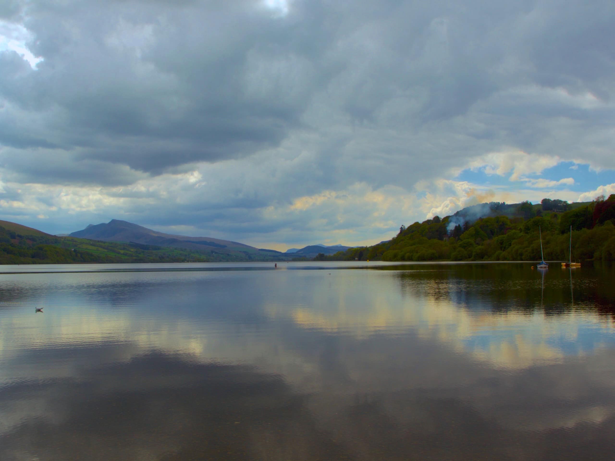
Llyn Tegid
Difficulty Rating:
The walk around Llyn Tegid in Snowdonia National Park is a diverse trail with great views and the right amount of challenge. Curving along the slopes above the lake, you’ll be treated to splendid views over the water and the sprawling countryside beyond. Test your legs on steep sections and stream crossings, then relax and let the trail guide you through easy grassy tracks. The largest lake in Wales won’t disappoint as your view!
Getting there
The Llyn Tegid walk begins on the northern shore of Bala Lake, next to the Loch Cafe on the A494. Simply travel a couple of minutes south from Bala on Pensam Road and park next to the lakeshore.

About
| When to do | March-November |
| Backcountry Campsites | No |
| Pets allowed | Yes - On Leash |
| Family friendly | Older Children only |
| Route Signage | Poor |
| Crowd Levels | Moderate |
| Route Type | One Way |
Llyn Tegid
Elevation Graph
Weather
Llyn Tegid Walk Description
Note that this walk is a point-to-point trail, beginning near Bala and ending near Llanuwchllyn. It’s best to either have a car in each spot or be prepared to retrace your steps or loop around the north end of the lake.
The Llyn Tegid walk begins right beside the Loch Cafe on the Bala lakeshore. You’ll head left on an obvious footpath that traces the shoreline, eventually connecting with Tegid Street. Continue south on Tegid Street and cross the River Dee.
Once across the river, stay left at the first junction and then right at the next, where the path splits off from the B4391. Follow this trail as it gains elevation. You’ll connect with a more established track; follow this to the left for a few hundred metres and then take care to depart back onto the walking path (GPS will help you stay on track here).
You’ll skirt Is-Afon and then curve northwards beside a small stream. Continue north, crossing the stream before trailing west. This brings you closer to the shores.
Eventually, the trail will lead you onto the B4403 past the south end of the lake. You can take the road into Llanuwchllyn if completing as a point-to-point or retrace your steps if not.
Insider Hints
Stop at Eagles Inn for a drink after your walk
There are public facilities at the lakeshore in Bala if you need them before the walk
If you’re going to loop the entire lake, following the A494 is the easiest route to take
Similar hikes to the Llyn Tegid hike

Foel Goch via Bwlch Tryfan Walk
A walk up Foel Goch via Bwlch Tryfan is an excellent way to take in the iconic beauty of Tryfan…
Snowdon via Crib Goch and Miner’s Track
Of all the many routes up Snowdon, this approach via Crib Goch may be the most demanding! The walk starts…
Y Garn and the Glyderau
The Glyderau may be the most celebrated mountain range within Snowdonia National Park, and this full-day adventure visits the highlights!…
Comments