

Moro Rock, Eagle View, and Huckleberry Loop Hike
View PhotosMoro Rock, Eagle View, and Huckleberry Loop Hike
Difficulty Rating:
The Moro Rock, Eagle View, and Huckleberry Loop offers a wealth of scenery that is sure to impress. Wander through a diversity of landscapes and revel in the expansive panoramas of the Great Western Divide.
Getting there
The Moro Rock, Eagle View, and Huckleberry Loop departs from the Giant Forest Museum.
About
| Backcountry Campground | No |
| When to do | May-October |
| Pets allowed | No |
| Family friendly | Older Children only |
| Route Signage | Average |
| Crowd Levels | High |
| Route Type | Lollipop |
Moro Rock, Eagle View, and Huckleberry Loop Hike
Elevation Graph
Weather
Moro Rock, Eagle View, and Huckleberry Loop Hike Description
The Moro Rock, Eagle View, and Huckleberry Loop Hike reveals the best of the best. Explore the terrain occupied by giant sequoias, lush meadows, granite monoliths, and meandering streams. Boasting incredible scenery, this beautiful hike will keep you motivated every step of the way. Note areas of this route see a high volume of traffic, so come prepared to share the trails. The Park charges an entrance fee of $35USD per vehicle or $20USD per person for pedestrians or cyclists, but it’s worth it—trust us!
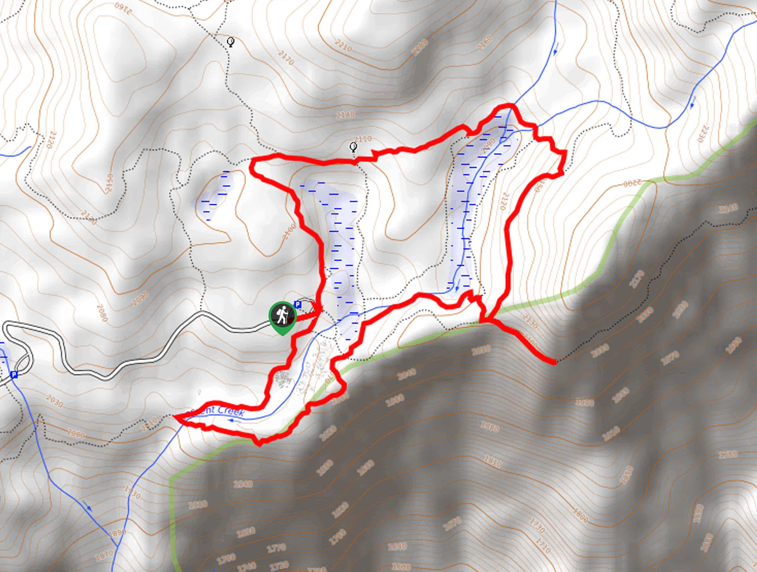
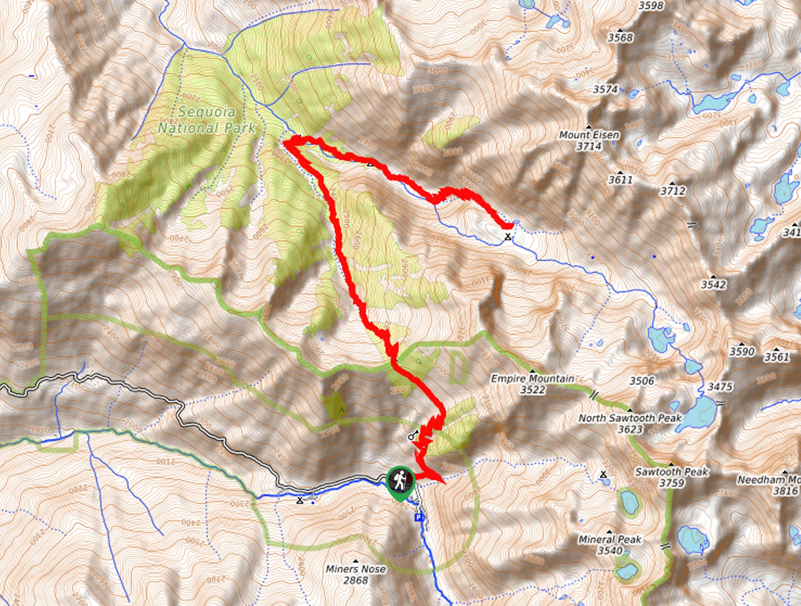
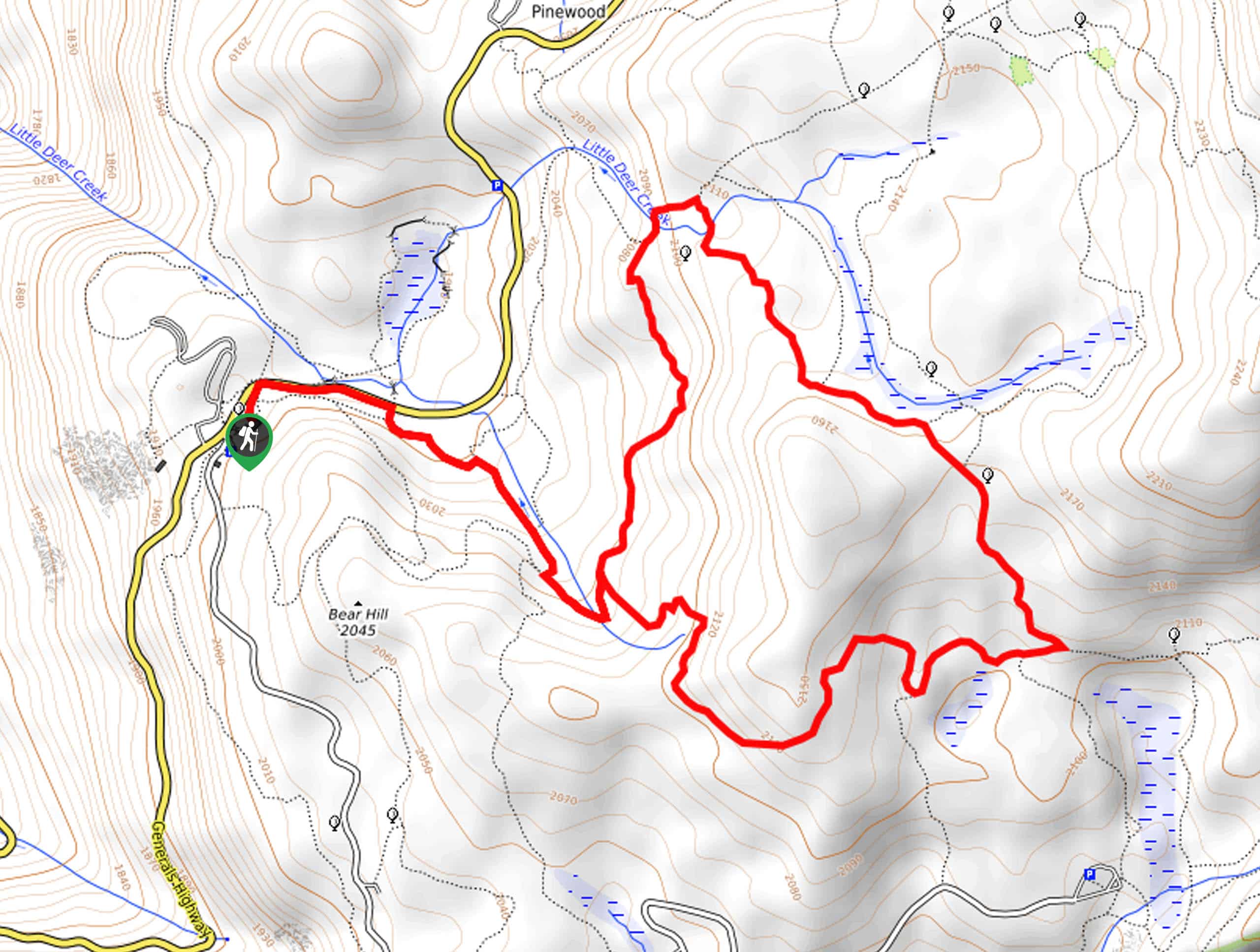
Setting out from the Giant Forest Museum, follow the Moro Rock Trail through the lush woodlands before tackling the famous Moro Rock. Mind your footing and take your time as you ascend some 300 steps to the epic overlook of the Great Western Divide—here, you will likely be in the company of dozens of explorers! Head back down the rock after admiring the views, then merge onto the Sugar Pine Trail. Follow this route to the next intersection, where you will turn right onto the Bobcat Point Trail. Continue along this path, ultimately merging onto the High Sierra Trail to the Eagle View, which offers epic views of the Great Western Divide with a fraction of the crowds.
From here, retrace your steps along the High Sierra Trail, then turn right onto the Crescent Meadow Loop Trail. Admire the beauty of the lush meadow and looming sequoias, then turn left onto the Tharp’s Log Trail. At the route’s end, follow the Huckleberry Trail onto the Alta Trail and back to the museum.
Similar hikes to the Moro Rock, Eagle View, and Huckleberry Loop Hike hike

Eagle and Bobcat Loop Hike
The Eagle and Bobcat Loop Hike is an amazing adventure that the whole family can enjoy. Wander through luxuriant meadows…

Pinto Lake Trail
Beckoning the exploration of intrepid spirits and experienced hikers, the Pinto Lake Trail is a no walk in the park.…

Huckleberry and Alta Loop Hike
The Huckleberry and Alta Loop Hike is a beautiful adventure that offers a wealth of incredible scenery for hikers to…


Comments