
Middle Fork Kaweah Falls Hike
View Photos
Middle Fork Kaweah Falls Hike
Difficulty Rating:
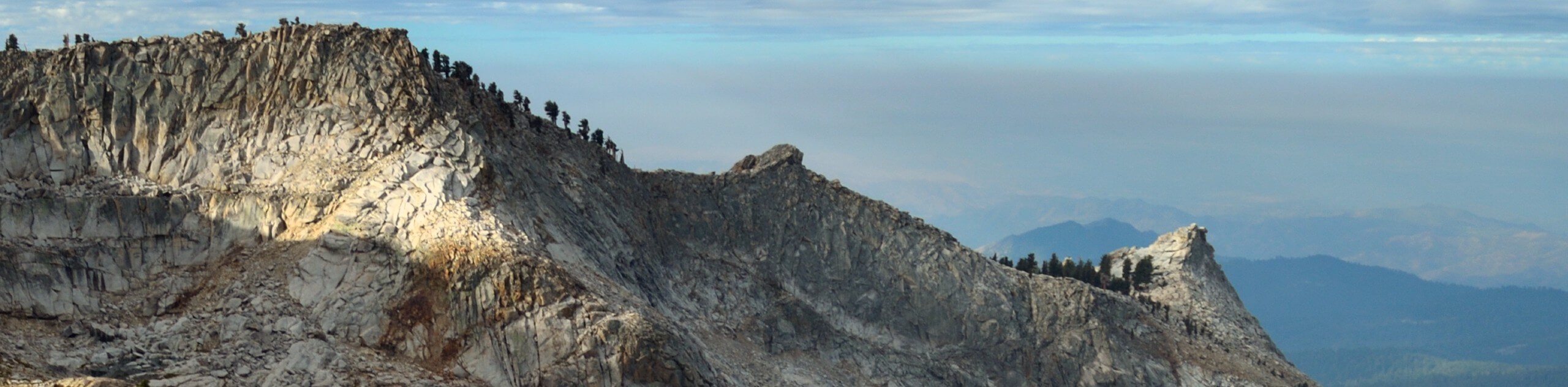
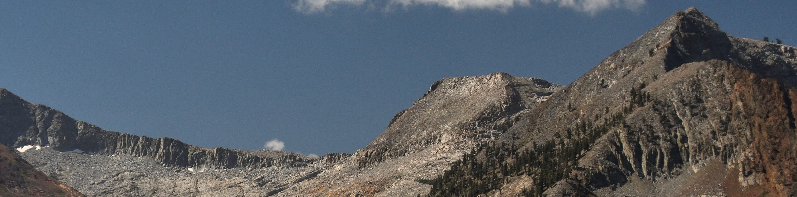
The Middle Fork Kaweah Falls Hike is an enchanting adventure in the Sequoia National Park that we cannot get enough of. This amazing adventure travels through a swathe of land occupied by blossoming meadows, craggy granite mountains, and dense forests bisected by a picturesque river.
Getting there
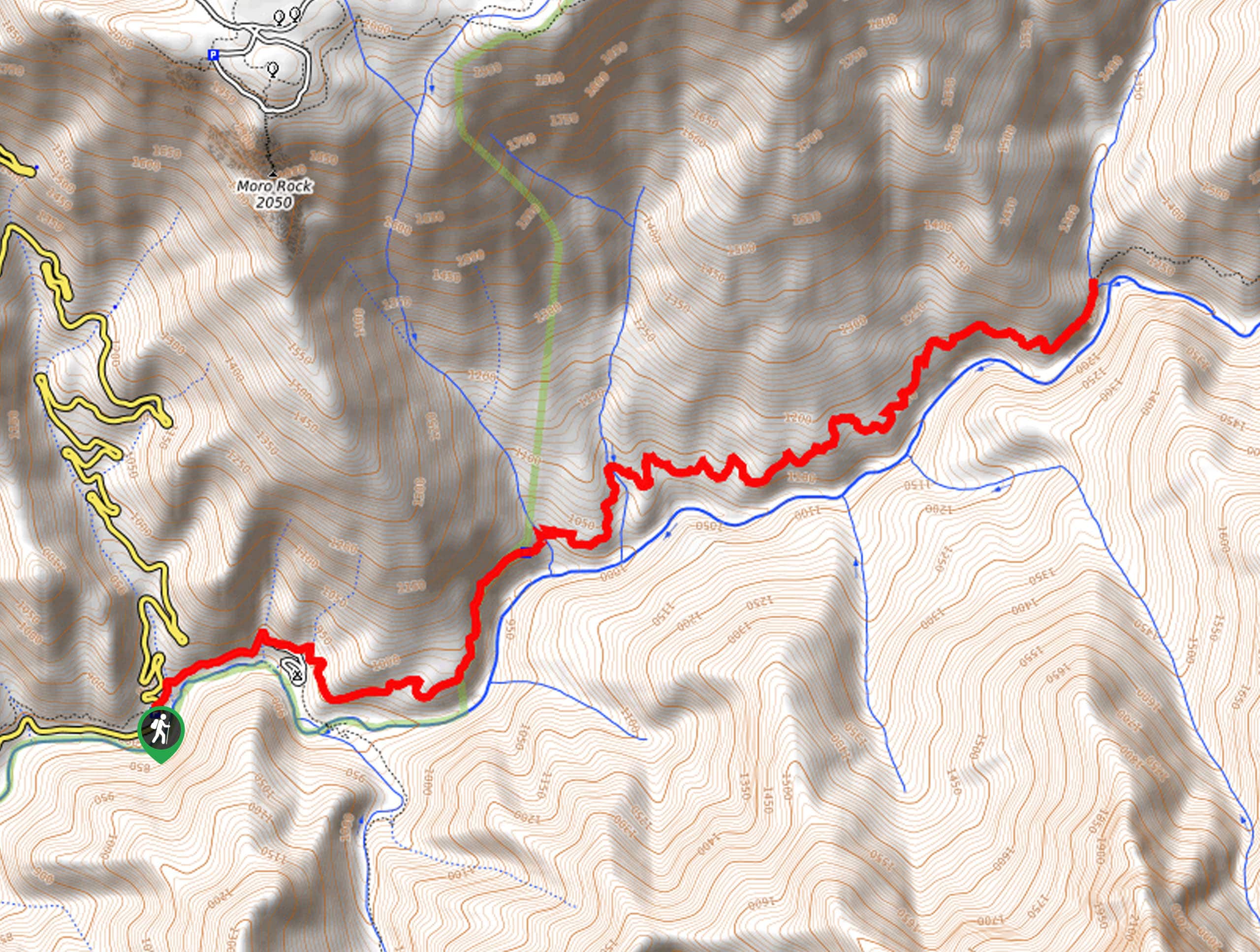
Access this hike from the Hospital Rock Picnic Site off Generals Highway.

About
| Backcountry Campground | |
| When to do | April-October |
| Pets allowed | No |
| Family friendly | Older Children only |
| Route Signage | Average |
| Crowd Levels | High |
| Route Type | Out and back |
Middle Fork Kaweah Falls Hike
Elevation Graph
Weather
Middle Fork Kaweah Falls Hike Description
When hiking this trail, you can expect an immersive experience. Wander amongst a diversity of flora and fauna amid the forested canyon of the Kaweah River. Offering inspirational views, the entire hike, you will be preoccupied with your surroundings, so you won’t even notice your tired feet! As much of the terrain is exposed make sure to wear SPF and sun protection. Don’t forget to pack plenty of water or bring a water filter as well. The Park charges an entrance fee of $35USD per vehicle or $20USD per person for pedestrians or cyclists.
Setting out from the Hospital Rock, the Middle Fork Kaweah Falls Trail travels along the shoulder of the Buckeye Flat Campground Access Road—when the campground is open you can depart directly from there. Follow this route through the campground to the Middle Fork Kaweah Trailhead. Setting out from here, follow the Middle Fork Kaweah Trail over Moro Creek, climbing along the rustic path. Traveling along the ridges of the Kaweah River, you will be granted wonderful views of the Castle Rocks looming in the southeast.
As you wander amid the lush meadows vibrant with lupines and other wildflowers, be sure to take a mental picture. You will eventually reach the trail’s end at Panther Creek. Appreciate the mesmerizing cascades that adorn the Kaweah River below, then retrace your footing back to the trailhead.
Similar hikes to the Middle Fork Kaweah Falls Hike hike
Mount Silliman Hike
The Mount Silliman Hike boasts the perfect opportunity to summit a Sierra Nevada Mountain. Explore the high country and revel…
Pinto Lake Trail
Beckoning the exploration of intrepid spirits and experienced hikers, the Pinto Lake Trail is a no walk in the park.…
White Chief Canyon Trail
The White Chief Canyon Trail is a beautiful adventure in the High Sierra that rewards its tired conquerors with incredible…
Comments