Thomas Point Trail
View Photos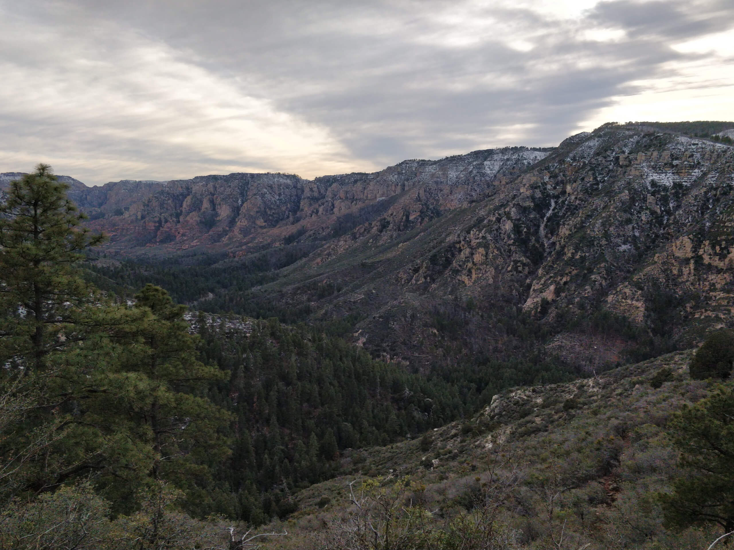
Thomas Point Trail
Difficulty Rating:
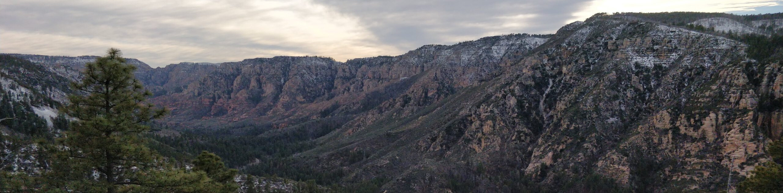
Thomas Point Trail is an underrated hike not yet discovered by the masses. This 2.4mitrail begins from the road, climbing through a shaded forest before reaching a viewpoint overlooking the surrounding mountains. It’s accessible year-round and doesn’t get very busy. Bring lots of water and sunscreen for this hike!
Getting there
The trailhead for Thomas Point Trail is on Shady Lane.

About
| Backcountry Campground | No |
| When to do | Year-round |
| Pets allowed | Yes - On Leash |
| Family friendly | Yes |
| Route Signage | Poor |
| Crowd Levels | High |
| Route Type | Out and back |
Thomas Point Trail
Elevation Graph
Weather
Thomas Point Trail Description
Thomas Point Trail is a hidden gem in Sedona. This trail isn’t very busy, but it offers great views and a bit of shade at the beginning of the hike. Pick it on busy days where other trails are too packed. While this hike gets some shade at the start, bring lots of water and sunscreen for the last half.
The trailhead for this route can be hard to find. Park at the West Fork Trailhead and then walk south on the east side of the road (be careful, the shoulder is narrow). Walk for 0.3mi and look for the address sign for house 10055. Directly across from this, you’ll see a sign for the trail and a cement block. Don’t go into the woods.
From the trailhead, You’ll take a few switchbacks before the trail traverses to your left. You’ll turn uphill and then make your way through two curving turns as the forest falls back and your view opens up. The route can be a bit hard to make out near the top, so rely on your GPS if you need to. At the point, take in the view before retracing your steps.
Similar hikes to the Thomas Point Trail hike

Margs Draw Trail
Margs Draw Trail is a bit of a hidden gem. This trail doesn’t get as much traffic as other nearby…

Baby Bell, Llama, and Bail Loop
The Baby Bell, Llama, and Bail Loop is a 3.6mi hike in Sedona near Bell Rock and Courthouse…

Herkenham Trail
Herkenham Trail is a 2.0mi out and back trail in the Coconino National Forest near Sedona. This route…
Comments