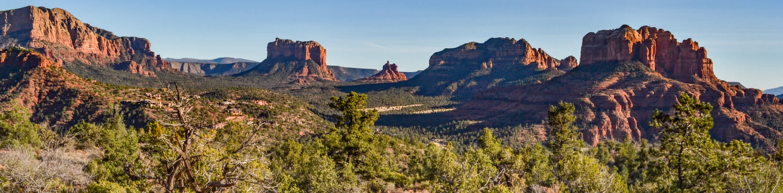
The Ridge Trail
View Photos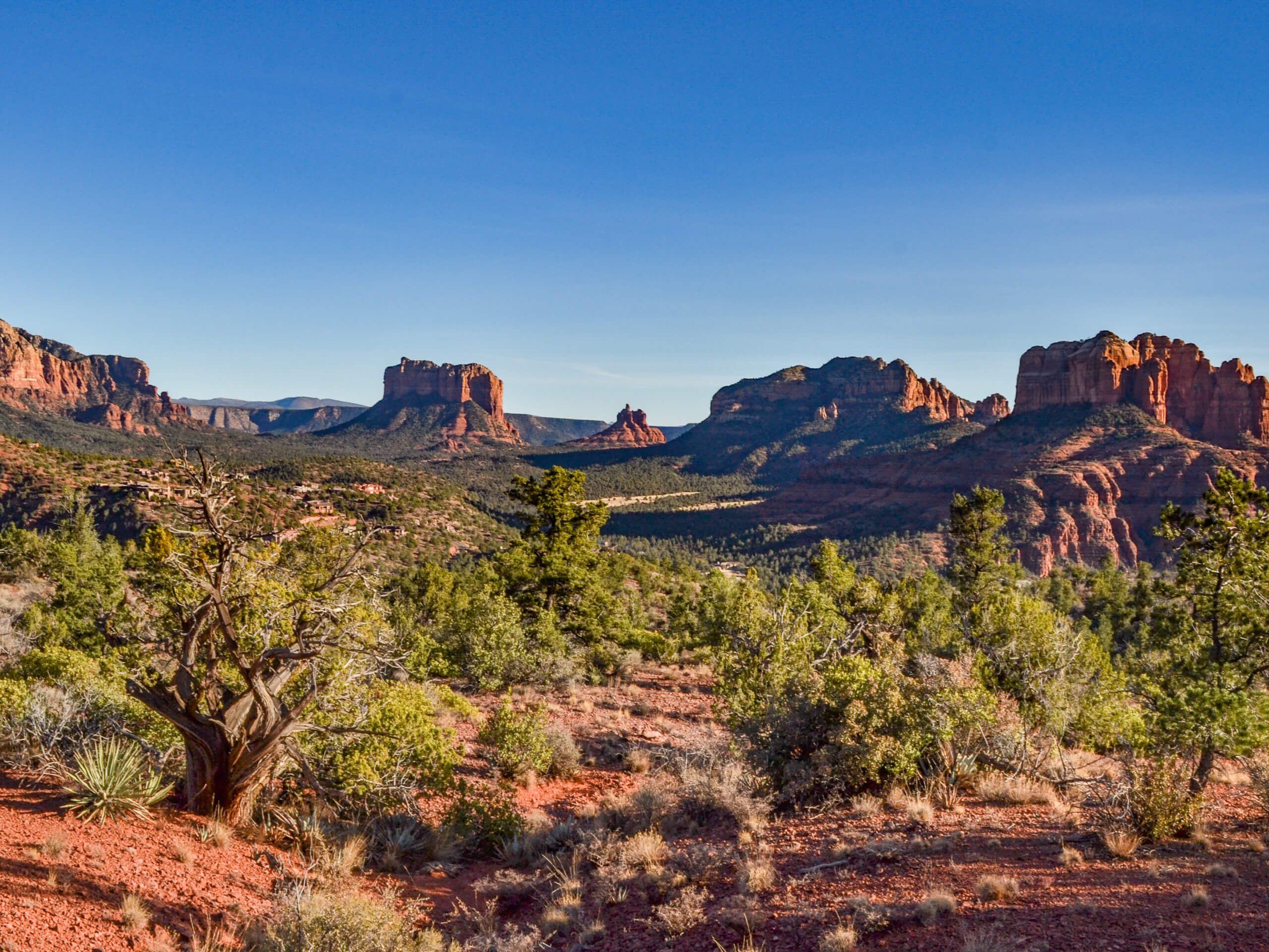
The Ridge Trail
Difficulty Rating:
The Ridge is a 4.5mi hike near Sedona that sees light traffic, a novel concept in one of Arizona’s top hiking destinations. This hike is worth the bit of routefinding you’ll need to do, though. The view sneaks up on you, and it’s a gorgeous one! Bring a downloaded map to help you find your way and pack more water than you think you’ll need on this unshaded adventure.
Getting there
The trailhead for The Ridge Trail is off Shelby Drive.

About
| Backcountry Campground | No |
| When to do | Year-round |
| Pets allowed | Yes - On Leash |
| Family friendly | Yes |
| Route Signage | Average |
| Crowd Levels | Low |
| Route Type | Loop |
The Ridge Trail
Elevation Graph
Weather
The Ridge Trail Description
The Ridge is an underrated hike in Sedona, and we recommend getting it on your list while it’s still lightly trafficked. This route has a view that sneaks up on you, all a sudden showing you nearly all of Sedona and its surrounding mountains.
This route has no shade, and it can become very hot in the spring, summer, and early fall. Bring more water than you think you’ll need and carry sunscreen and a hat if you’re here in the hot months. Additionally, the route gets vague through the back of the loop, so we recommend having a downloaded GPS track on hand to help you navigate.
From the trailhead, take Ridge Trail, keeping left and then right. You’ll stay left onto Carroll Canyon Trail and then left again onto Ridge Trail. Where the route splits, decide whether you want to go clockwise or counterclockwise- it doesn’t matter which direction you go. Refer to your GPS on the back end of the loop, which becomes difficult to navigate through. Return to the trailhead the same way you came up.
Insider Hints
If you can’t find parking at the trailhead, park at Sunset Park and walk the extra half-mile.
Similar hikes to the The Ridge Trail hike

Margs Draw Trail
Margs Draw Trail is a bit of a hidden gem. This trail doesn’t get as much traffic as other nearby…

Baby Bell, Llama, and Bail Loop
The Baby Bell, Llama, and Bail Loop is a 3.6mi hike in Sedona near Bell Rock and Courthouse…

Herkenham Trail
Herkenham Trail is a 2.0mi out and back trail in the Coconino National Forest near Sedona. This route…
Comments