Girdner Trail
View Photos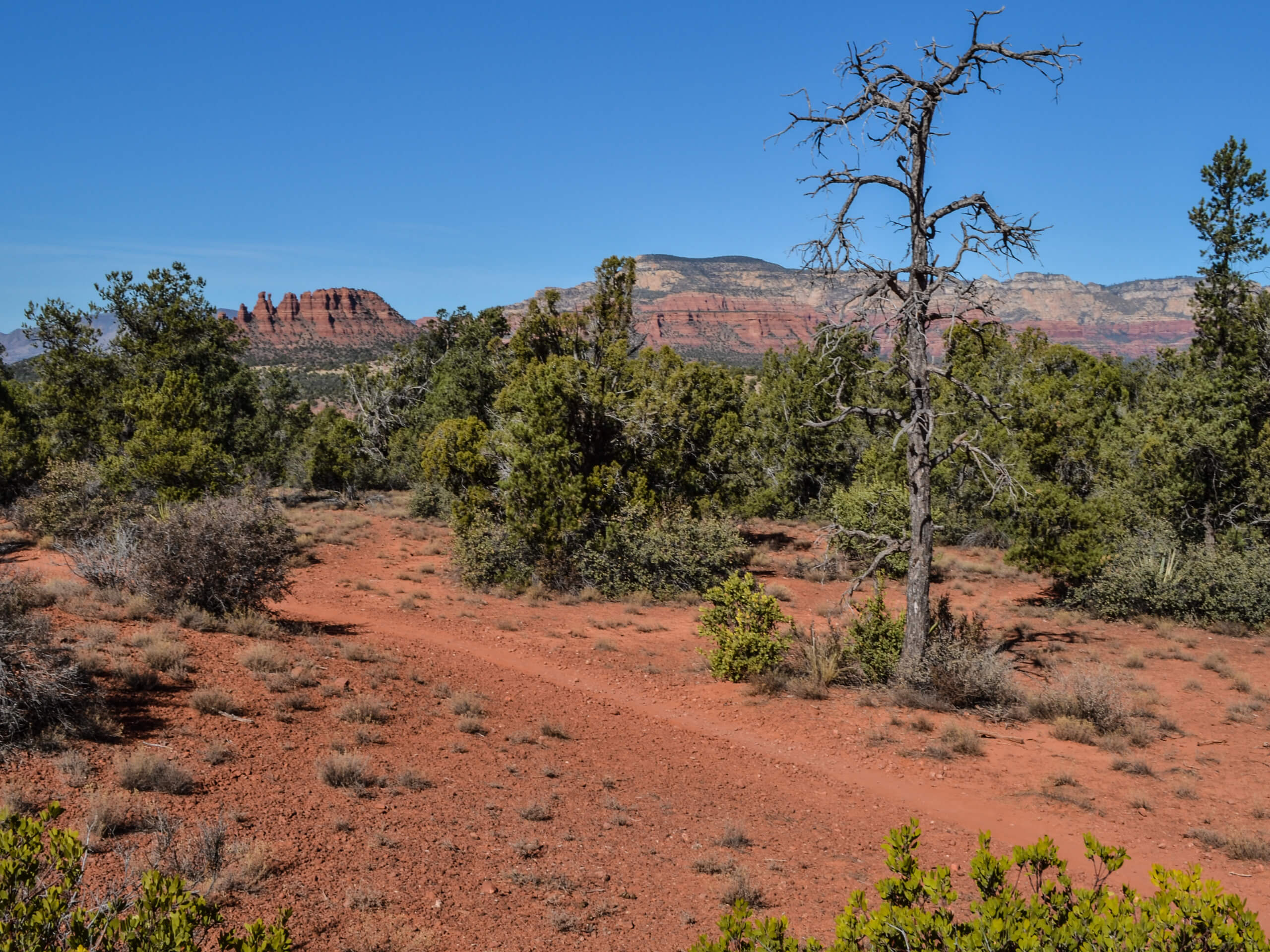
Girdner Trail
Difficulty Rating:
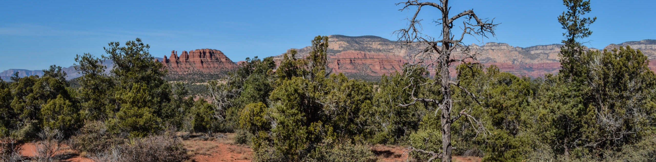
Girdner Trail is a 9.8mi out and back hike near Sedona with awesome views of nearby sandstone formations and mountains. It’s a longer hike compared to most trails in the area, but a modest elevation profile makes it suitable for beginners. This trail was recently rerouted to eliminate all the previous creek crossings, giving you an easier trip with better views. Expect moderate traffic on this hike.
Getting there
The trailhead for Girdner Trail is on Cultural Park Place.

About
| Backcountry Campground | No |
| When to do | Year-round |
| Pets allowed | Yes - On Leash |
| Family friendly | Yes |
| Route Signage | Average |
| Crowd Levels | Moderate |
| Route Type | Out and back |
Girdner Trail
Elevation Graph
Weather
Girdner Trail Description
Girdner Trail is a 9.8mi out and back hike on Sedona’s west side with an impressive view of the area’s iconic rock formations and red earth. This trail previously required several creek crossings that could become challenging in the spring, but it’s since been rerouted to stick to higher ground, which keeps your feet dry and gives you a better view.
Bring plenty of water on this trail. Sedona can be very hot between May and October and it’s important to stay hydrated while hiking.
Start from the trailhead near the Sedona Summit Resort, taking Cultural Park Place up to the trailhead. Use a GPS track for reference here, as there are lots of trails starting in this area and it can be easy to take the wrong one.
Hike to Dry Creek and then turn right to follow alongside it. Your route hugs the creek about two-thirds of the way, then pulls away between two hills to its end just before Boynton Pass Road. From here, turn around and retrace your steps back to the trailhead.
Similar hikes to the Girdner Trail hike

Margs Draw Trail
Margs Draw Trail is a bit of a hidden gem. This trail doesn’t get as much traffic as other nearby…

Baby Bell, Llama, and Bail Loop
The Baby Bell, Llama, and Bail Loop is a 3.6mi hike in Sedona near Bell Rock and Courthouse…

Herkenham Trail
Herkenham Trail is a 2.0mi out and back trail in the Coconino National Forest near Sedona. This route…
Comments