Doe Mountain Trail
View Photos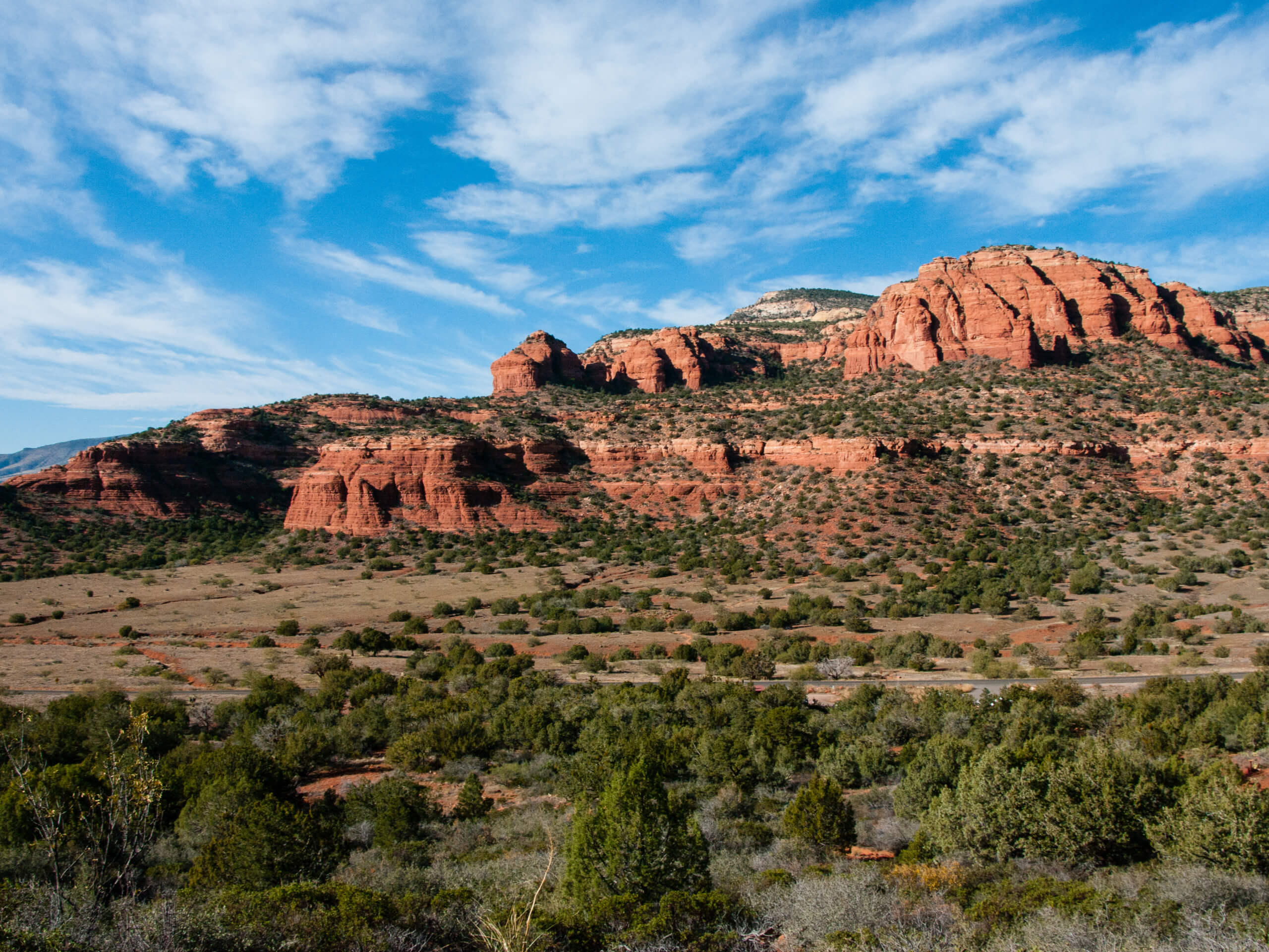
Doe Mountain Trail
Difficulty Rating:
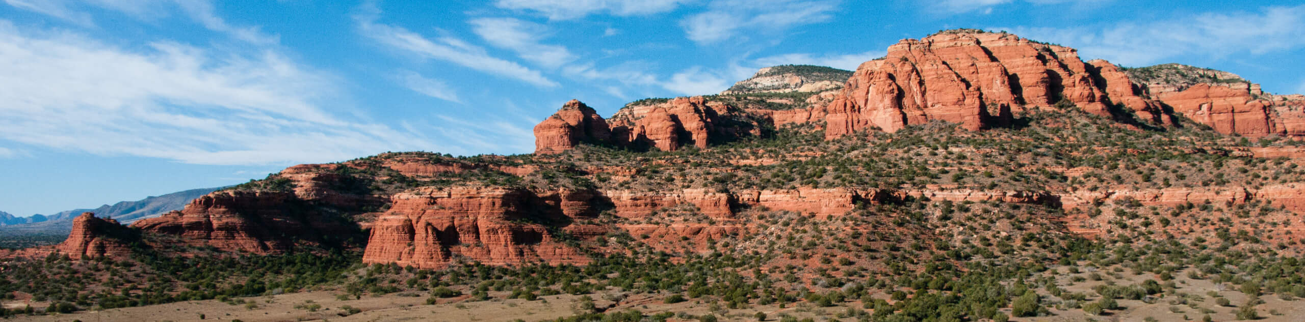
Doe Mountain has an awesome view of the surrounding landscape, including Bear Mountain, Lost Mountain, Mescal Mountain, and Maroon Mountain to the north and Sedona to the southeast. It’s a lot of bang for your buck considering the hike is one 1.5milong. While the trail is fairly easy in terms of elevation gain, there is a stretch where you’ll be on a steep, rocky path with a bit of scrambling required. The path isn’t well defined and you’ll need to pick your way over the rocks.
Small children may not be able to get through this hike, and those who are scared of heights may prefer a different trail.
Since this trail offers no shade, you’ll want to make sure you take adequate steps to protect yourself from the heat. Bring lots of water, wear a hat and sunscreen, and don’t try this hike during a hot summer afternoon.
Getting there
The trailhead for Doe Mountain is on Boynton Pass Road.

About
| Backcountry Campground | No |
| When to do | Year-round |
| Pets allowed | Yes - On Leash |
| Family friendly | Older Children only |
| Route Signage | Average |
| Crowd Levels | High |
| Route Type | Out and back |
Doe Mountain Trail
Elevation Graph
Weather
Doe Mountain Trail Description
Doe Mountain is an excellent choice if you’re wanting a hike that gives plenty of reward for a modest effort. The views of Sedona’s mountains are great and it’s only about three-quarters of a mile to the top. For a fast outing, it’s a fabulous pick with lots of camera-worthy vistas.
This hike is rated as moderate, but there are some sections that aren’t suitable for everyone. The route requires a bit of scrambling and some high, exposed sections. You’ll need to pick your way through rocky bits and the trail isn’t very well defined towards the summit. Those who are afraid of heights may want to choose another hike. Children may not be able to complete this trail or may need some help.
This hike begins from the Bear Mountain Trailhead. While hikers headed for Bear Mountain will cross the street, you’ll want to take the trail on this side of the road. Go straight through the junction with Aerie Trail. Head towards the edge of the mesa and then climb through zig-zagging turns lined by juniper, agave, and yucca.
You’ll climb through a gully, making your way through the rocks. The path veers right and then left, cresting the summit and leading you across to another viewpoint. This part of the hike up to the top is steep, so take your time.
You can explore most of the top of Doe Mountain, with the view changing all the way around. Check out Wilson Mountain, Capitol Butte, Dry Creek, and West Sedona from the south rim. From the north viewpoint, you can see the summits around Bear Mountain, the Verde Valley, and Sycamore Canyon.
When you’re ready, take the same route back down the mountain to the trailhead.
Trail Highlights
Bear Mountain
One of the dominant sights from Doe Mountain is Bear Mountain. The two peaks face one another from opposite sides of Boynton Pass Road. Bear Mountain is one of the tallest mountains in the Sedona area, and it’s flanked by Lost Mountain and Maroon Mountain, making for an impressive view of the south range of the Red Rocks Secret Mountain Wilderness.
Frequently Asked Questions
Where do you park for Doe Mountain?
Park at the Bear Mountain Trailhead off Boynton Pass Road.
Do you need a Red Rock Pass for Doe Mountain?
Yes. You can grab a pass at the trailhead kiosks.
What is the elevation of Doe Mountain in Sedona?
The elevation of Doe Mountain is 5067ft.
Insider Hints
Bring plenty of water for this hike. It’s unshaded and can get quite hot.
Avoid this trail in the summer months unless you’re hiking very early in the morning.
The nearby Enchantment Resort has excellent food if you’re hungry after your adventures.
Similar hikes to the Doe Mountain Trail hike

Margs Draw Trail
Margs Draw Trail is a bit of a hidden gem. This trail doesn’t get as much traffic as other nearby…

Baby Bell, Llama, and Bail Loop
The Baby Bell, Llama, and Bail Loop is a 3.6mi hike in Sedona near Bell Rock and Courthouse…

Herkenham Trail
Herkenham Trail is a 2.0mi out and back trail in the Coconino National Forest near Sedona. This route…
Comments