Doe Mountain Loop
View Photos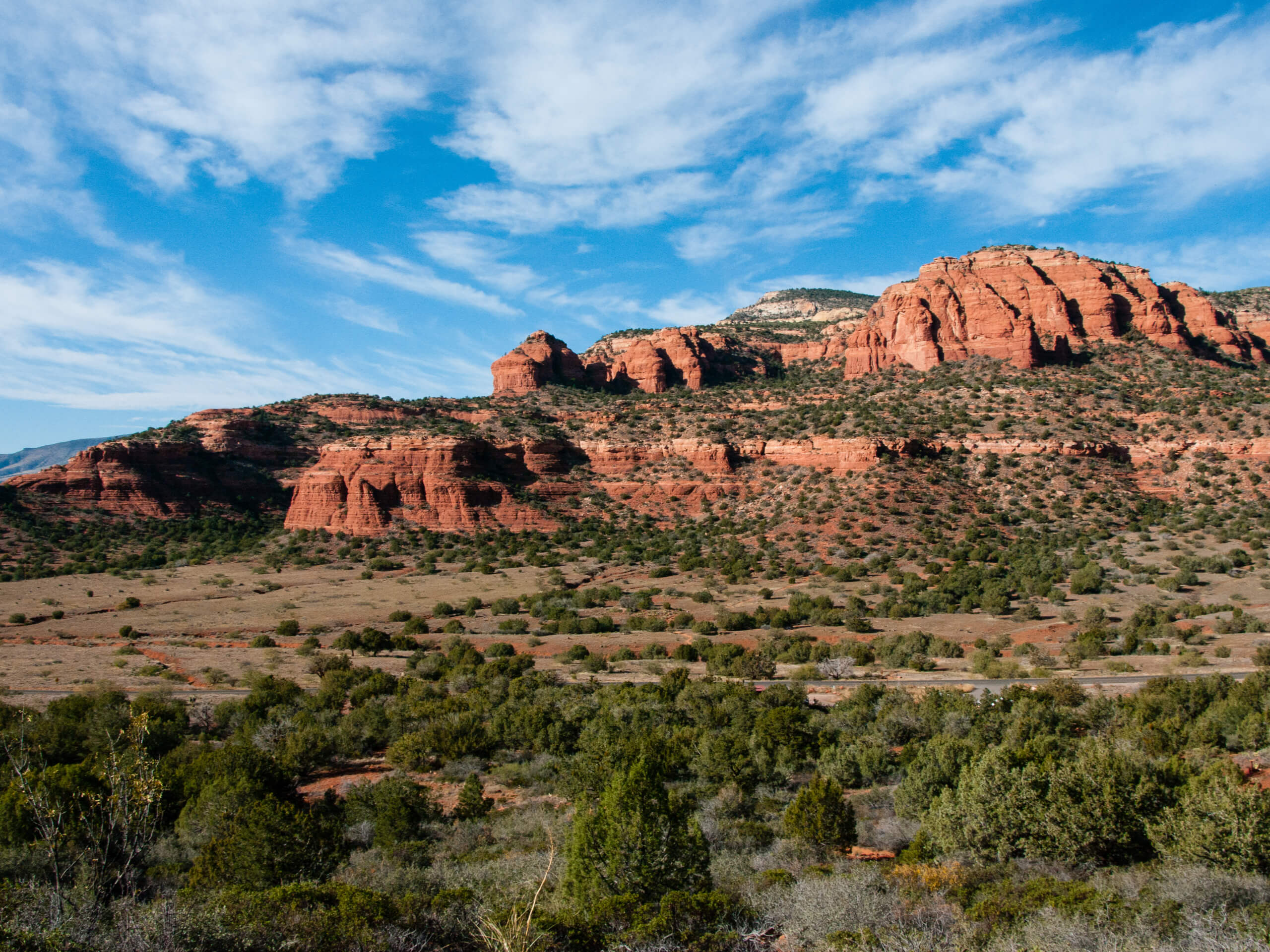
Doe Mountain Loop
Difficulty Rating:
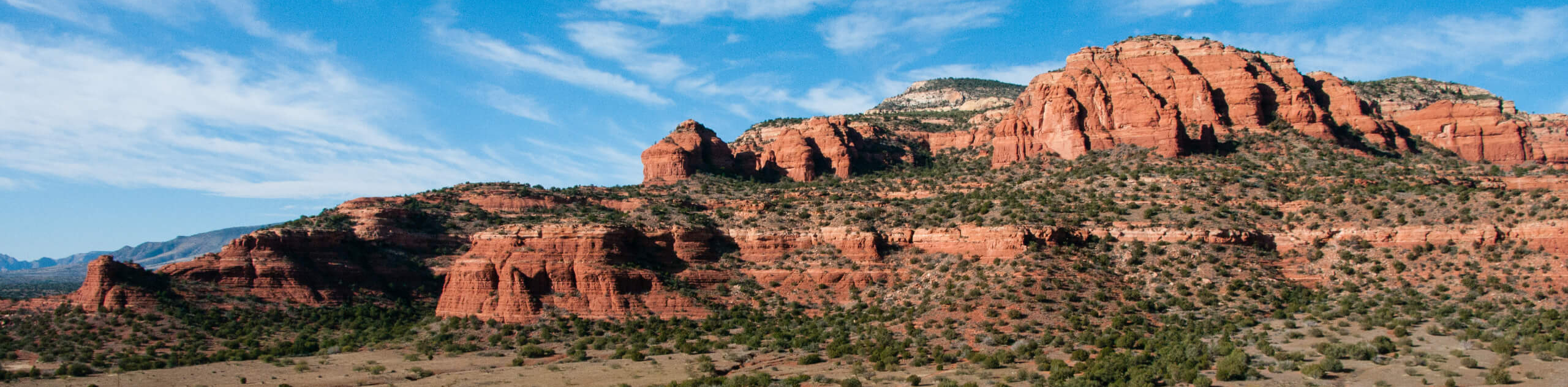
Doe Mountain is a great hike for all skill levels in all seasons. From the top, you’ll have an excellent view of the surrounding landscape, including Bear Mountain, Lost Mountain, Mescal Mountain, and Maroon Mountain to the north and Sedona to the southeast. While the trail is fairly easy in terms of elevation gain, there is a stretch where you’ll be on a steep, rocky path with a bit of scrambling required. The path isn’t well defined and you’ll need to pick your way over the rocks. Note that this is a slightly longer approach than the Doe Mountain Trail, which doesn’t include a loop of the summit.
Getting there
The trailhead for the Doe Mountain Loop is on Boynton Pass Road.

About
| Backcountry Campground | No |
| When to do | Year-round |
| Pets allowed | Yes - On Leash |
| Family friendly | Yes |
| Route Signage | Average |
| Crowd Levels | Moderate |
| Route Type | Loop |
Doe Mountain Loop
Elevation Graph
Weather
Doe Mountain Loop Description
Doe Mountain is a good pick if you’re wanting a hike that gives plenty of reward for a modest effort. The views of Sedona’s mountains are great and it’s not a long trip to the top. This hike is rated as moderate, but there are some sections that aren’t suitable for everyone. The route requires a bit of scrambling and some high, exposed sections. You’ll need to pick your way through rocky bits and the trail isn’t very well defined towards the summit.
This hike begins from the Bear Mountain Trailhead. While hikers headed for Bear Mountain will cross the street, you’ll want to take the trail on this side of the road. Go straight through the junction with Aerie Trail. Head towards the edge of the mesa and then climb through zig-zagging turns. You’ll climb through a gully, making your way through the rocks. The path turns right and then left, bringing you up to the summit and leading you across to another viewpoint. On top of the mountain, the trail isn’t well-defined, so expect a touch of routefinding and bushwhacking as you complete the loop.
Head back down the same way you came up once you’ve finished your loop.
Similar hikes to the Doe Mountain Loop hike

Margs Draw Trail
Margs Draw Trail is a bit of a hidden gem. This trail doesn’t get as much traffic as other nearby…

Baby Bell, Llama, and Bail Loop
The Baby Bell, Llama, and Bail Loop is a 3.6mi hike in Sedona near Bell Rock and Courthouse…

Herkenham Trail
Herkenham Trail is a 2.0mi out and back trail in the Coconino National Forest near Sedona. This route…
Comments