Chuck Wagon Trail
View Photos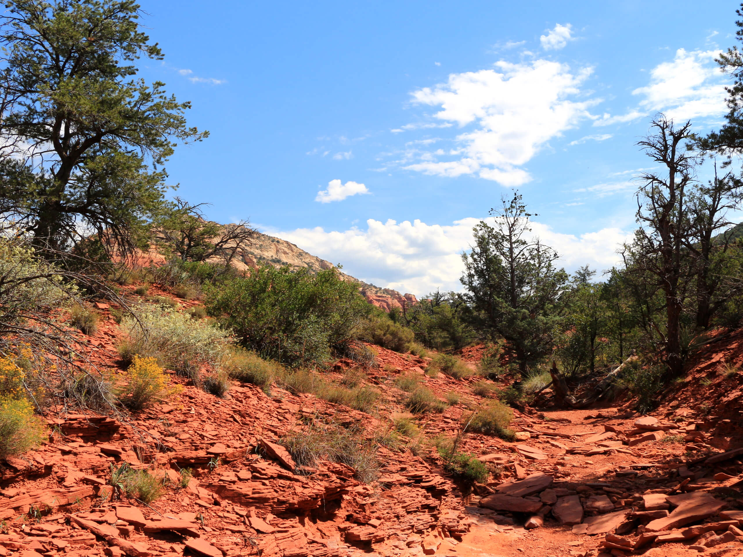
Chuck Wagon Trail
Difficulty Rating:
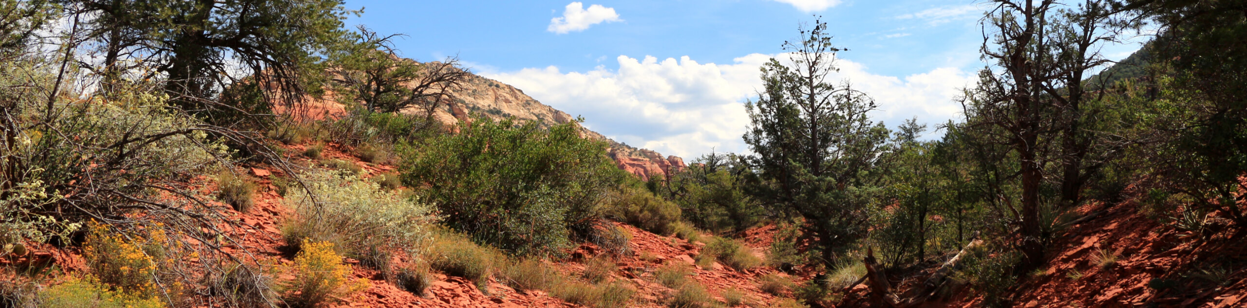
Chuck Wagon Trail is a 7.0mi out and back hike in Sedona. This trail is awesome for its relative lack of traffic compared to most hikes in Sedona, which can get downright congested. This one gives you a bit more room to breathe while still delivering nice views. While this route isn’t as busy, the trailhead is, so arrive early to get parking. This trail is easy enough for all skill levels.
Getting there
The trailhead for the Chuck Wagon Trail is off Boynton Pass Road.

About
| Backcountry Campground | No |
| When to do | Year-round |
| Pets allowed | Yes - On Leash |
| Family friendly | Yes |
| Route Signage | Average |
| Crowd Levels | Moderate |
| Route Type | Out and back |
Chuck Wagon Trail
Elevation Graph
Weather
Chuck Wagon Trail Description
Chuck Wagon Trail is a beautiful hike that can be enjoyed on its own or used as part of a longer loop. This route passes the Grassy Knolls and Capitol Butte, and it has a view of Maroon Mountain, Little Round Mountain, and Round Top Mountain.
The navigation in this area can be a challenge if you’re unfamiliar. While the signage is average, the trails can be somewhat easy to lose. Bring a GPS track or map if you’re wanting a bit of help staying on the route.
From the trailhead, take Chuck Wagon Trail. There are two main trails that leave from this trailhead, so don’t get onto Dry Creek Road by accident. You’ll hike between Dry Creek and Dry Creek Road, so if you find you’ve ventured across either, you’ll need to backtrack. The route ends where the trail splits into Dry Creek Road and Brins Mesa Trail. From here, turn back and retrace your steps.
Similar hikes to the Chuck Wagon Trail hike

Margs Draw Trail
Margs Draw Trail is a bit of a hidden gem. This trail doesn’t get as much traffic as other nearby…

Baby Bell, Llama, and Bail Loop
The Baby Bell, Llama, and Bail Loop is a 3.6mi hike in Sedona near Bell Rock and Courthouse…

Herkenham Trail
Herkenham Trail is a 2.0mi out and back trail in the Coconino National Forest near Sedona. This route…
Comments