Bell Rock via Bell Rock Pathway
View Photos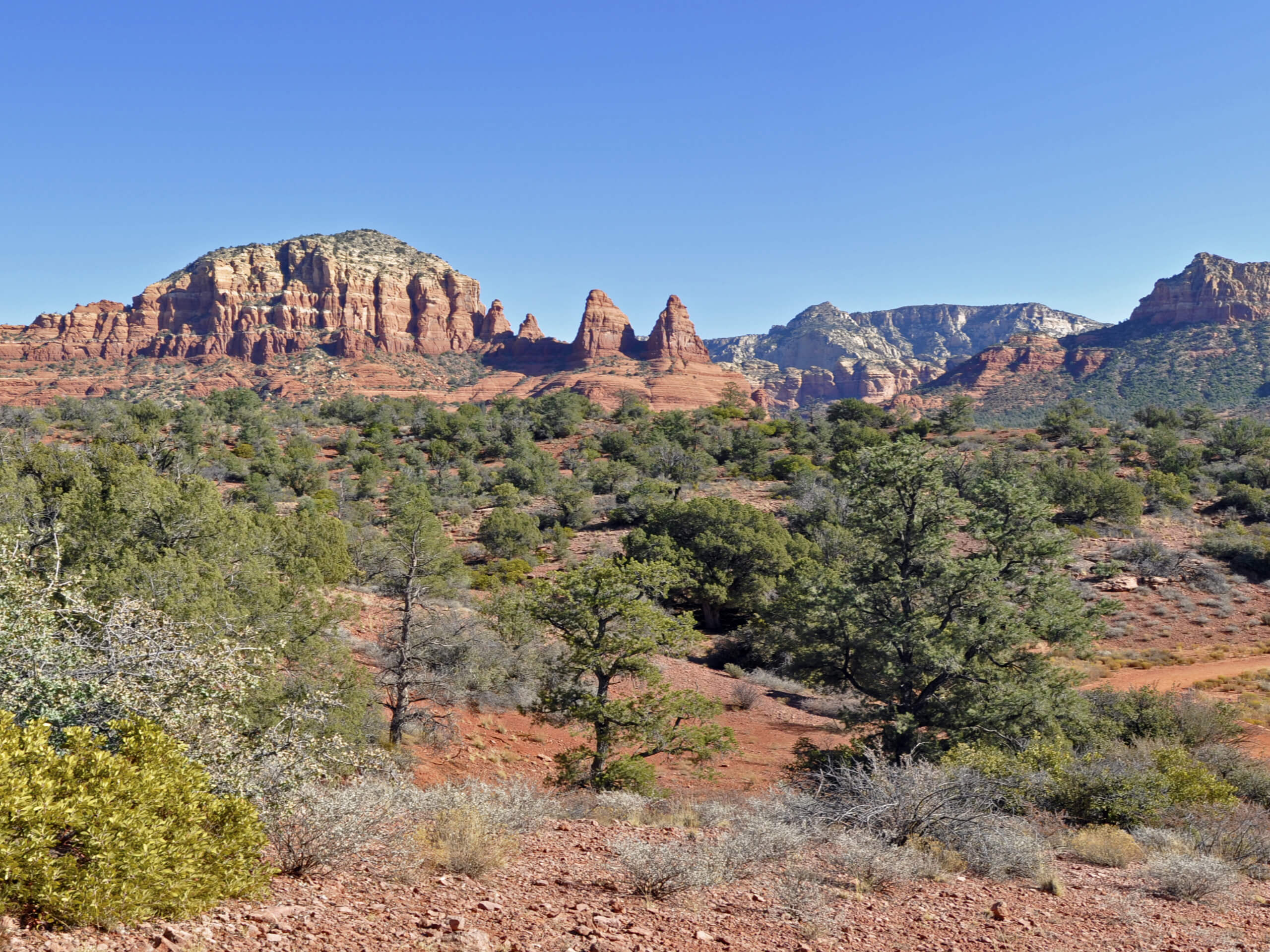
Bell Rock via Bell Rock Pathway
Difficulty Rating:
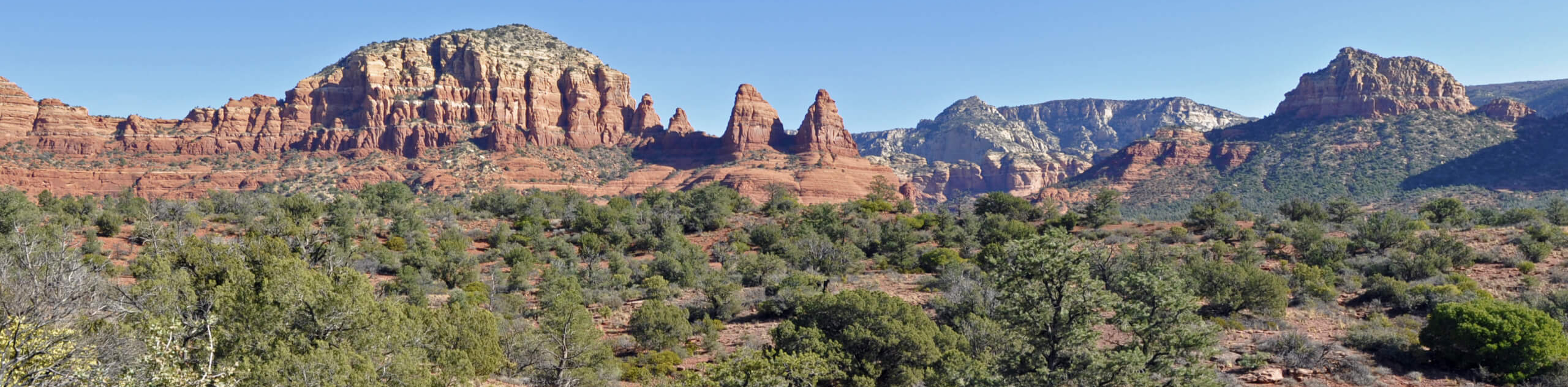
Bell Rock is one of Sedona’s most recognizable rock formations, and the hike there is a gorgeous, popular trek. If you want to skip some of the crowds and approach Bell Rock from the south side, this is the route for you. If you want to hike the traditional route, check out our Bell Rock Hike. This hike is family-friendly and fairly short. You’ll need to be able to complete very short sections with hands-on climbing. The further you go up the rock, the more climbing you’ll need to do, but the views are still fantastic from the most accessible viewpoints of the trail. This route gets busy, so arrive early if you can.
Getting there
The trailhead for the Bell Rock Trail is off Red Rock Scenic Highway.

About
| Backcountry Campground | No |
| When to do | Year-round |
| Pets allowed | Yes - On Leash |
| Family friendly | Yes |
| Route Signage | Good |
| Crowd Levels | High |
| Route Type | Out and back |
Bell Rock via Bell Rock Pathway
Elevation Graph
Weather
Bell Rock via Bell Rock Pathway Description
Bell Rock is one of Sedona’s defining rock formations, and it’s one of the most popular hikes in the area. With views of Courthouse Butte and Cathedral Rock, it’s a stunning spot. This trail takes you from the Bell Rock Vista Trailhead, which has you approach the rock from the south. This means you’ll have a different vantage point than the usual approach. We actually prefer this way in the afternoon as Bell Rock is lit up in the sun from this direction.
From the trailhead, take Bell Rock Pathway towards the rock. Stay left where the trail splits on the south face and then take a right to head up the trail that ascends Bell Rock. As you climb up the layers of stone preceding Bell Rock, look for the path of least resistance. People come from many directions here, and on some larger sloping portions of rock, there are various points where climbing up to the next level can be done easily. You can strictly follow the GPS route or just ascend where it looks easiest for you to do so.
There’s a wide, open plateau partway up the rock that gives you an amazing place to look at Gibraltar Mountain, Baby Bell, Courthouse Butte, and Cathedral Rock further on. This is an excellent stopping point if you want the easiest hike possible. You can scramble further up the rock if you’d like. Again, there’s no best trail, just choose the route that feels right for you and go as far as you’re comfortable with. Going all the way to the top of the spires is hazardous, so we don’t recommend it unless you’re an experienced climber. When you’re ready, retrace your steps back down the rock and to the trailhead, or onto whichever route you’re exploring next.
Similar hikes to the Bell Rock via Bell Rock Pathway hike

Margs Draw Trail
Margs Draw Trail is a bit of a hidden gem. This trail doesn’t get as much traffic as other nearby…

Baby Bell, Llama, and Bail Loop
The Baby Bell, Llama, and Bail Loop is a 3.6mi hike in Sedona near Bell Rock and Courthouse…

Herkenham Trail
Herkenham Trail is a 2.0mi out and back trail in the Coconino National Forest near Sedona. This route…
Comments