Mount Elbert East Ridge Trail
View Photos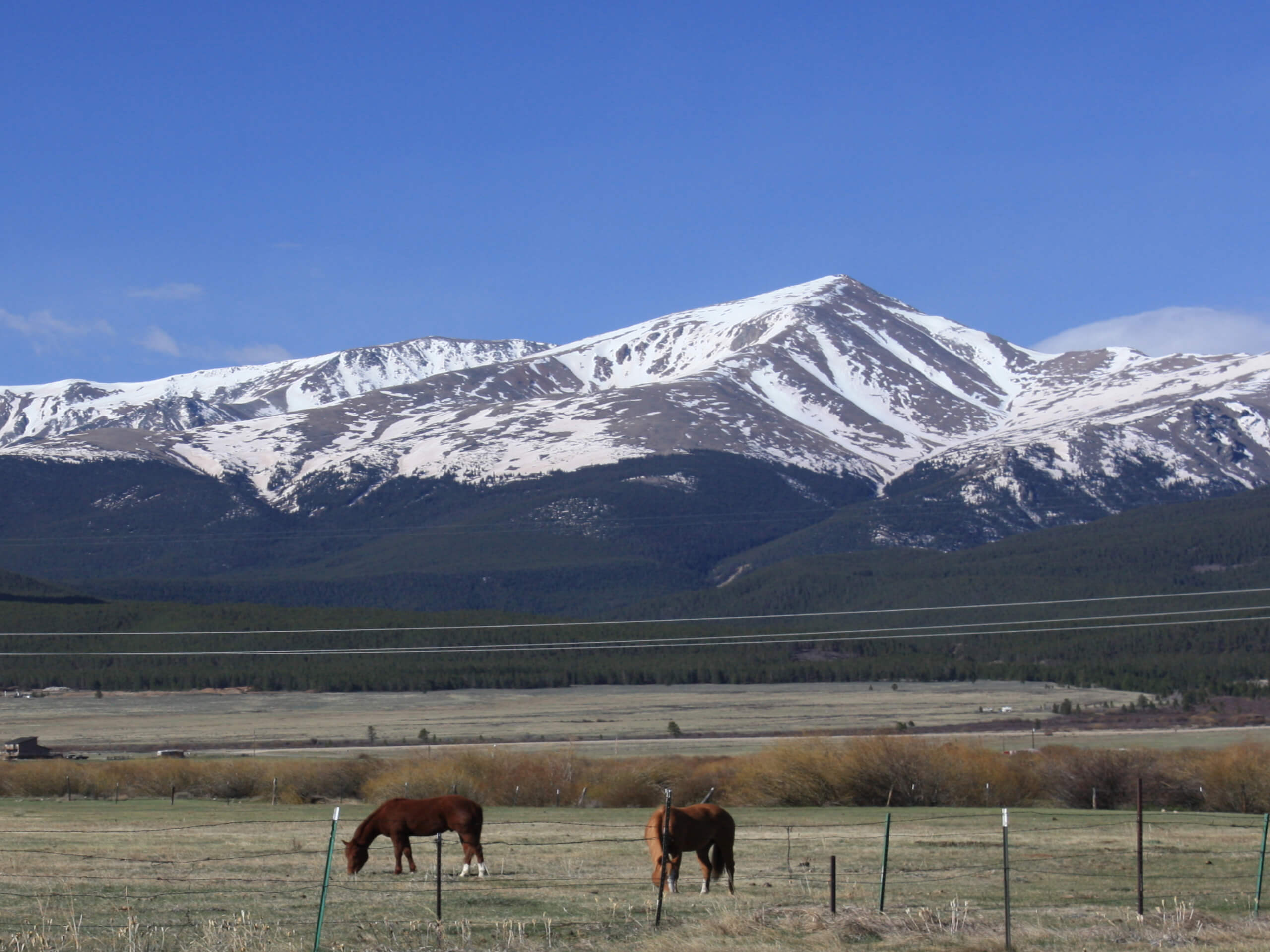
Mount Elbert East Ridge Trail
Difficulty Rating:
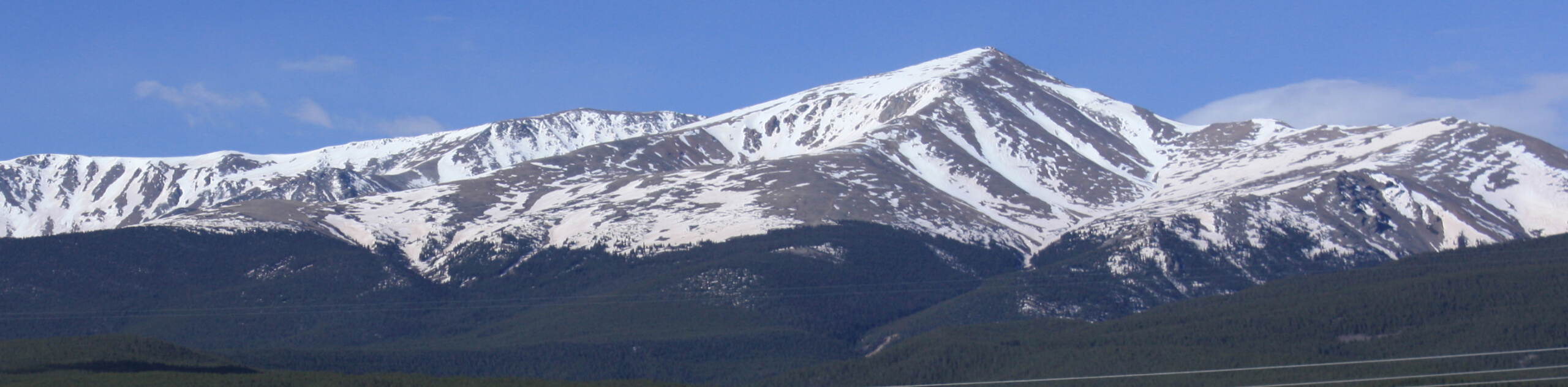
Tempted to summit Colorado’s highest peak? Us too! The Mount Elbert East Ridge Trail is an epic ascent that exhibits the diversity of high country’s ecosystems and reveals awe-inspiring vistas of the Sawatch Mountain Range. Get outside your comfort zone as you travel nearly 4921ft up to the summit. Reserved for experienced hikers or intrepid adventurers, this trek demands stamina.
Getting there
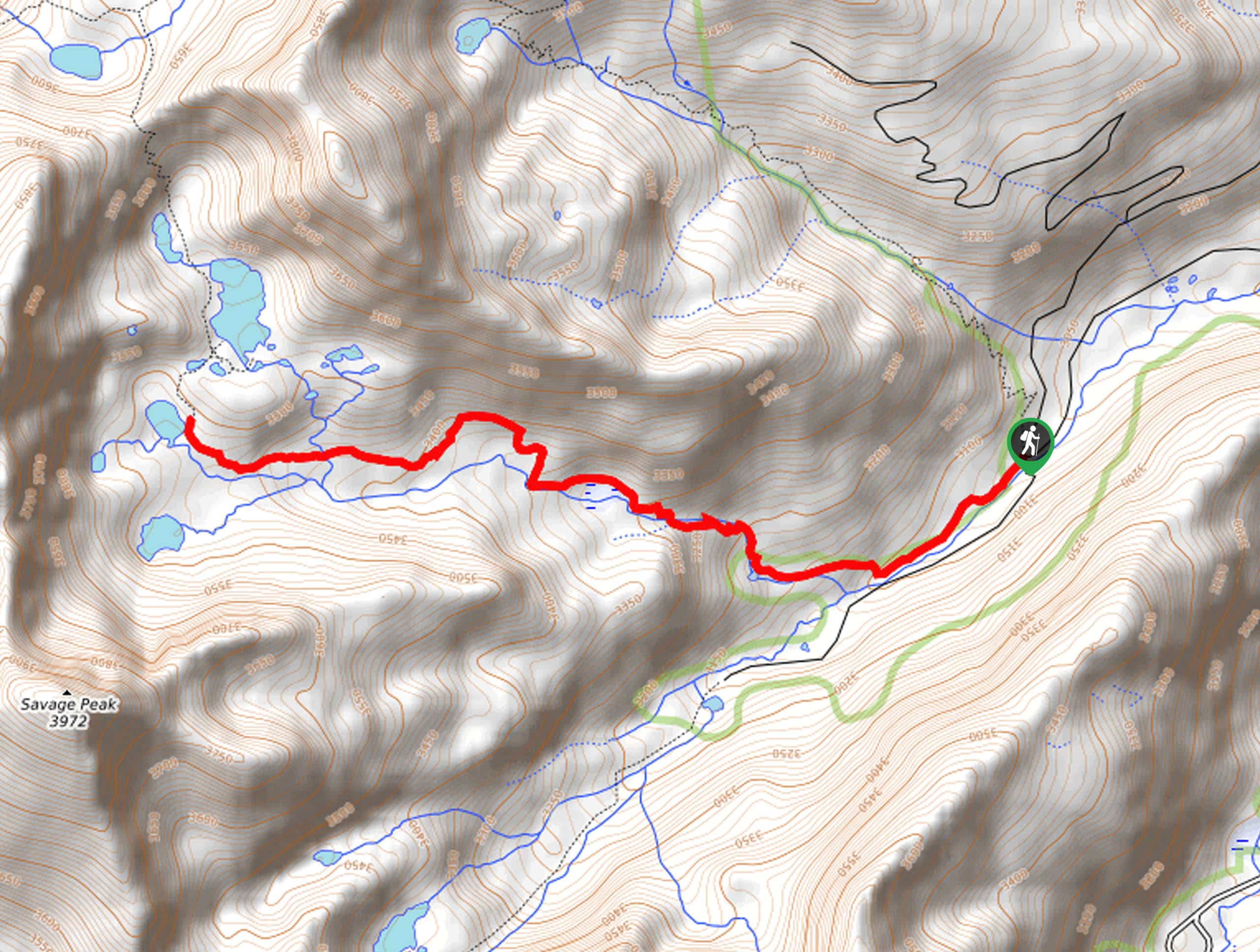
The Mount Elbert East Ridge Hike departs from the Mount Elbert Lower Trailhead off County Road 24.

About
| Backcountry Campground | Dispersed backcountry camping |
| When to do | May-October |
| Pets allowed | Yes - On Leash |
| Family friendly | No |
| Route Signage | Good |
| Crowd Levels | Extreme |
| Route Type | Lollipop |
Mount Elbert East Ridge Trail
Elevation Graph
Weather
Mount Elbert East Ridge Trail Description
The Mount Elbert East Ridge Trail necessitated a determined spirit as this lengthy ascent will challenge even veteran hikers. Let the panoramic views of Colorado’s mountainous landscape and the stunning scenery motivate you to persist up to the 14th highest ranked peak in the United States. Traveling to such extreme altitudes can take a toll on your body, so make sure you are acclimated to the area’s elevation prior to your climb. Additionally, it is imperative that you check the weather forecast and head out before dawn to mitigate the chances of getting caught in an afternoon storm at the exposed peak. When hiking in the winter months, be sure to strap on some crampons and bring along trekking poles to safely navigate the snow-packed terrain. Note that the road to the upper Mount Elbert Trailhead is reserved for vehicles with 4-wheel drive and is closed seasonally, so we urge you to park at the lower trailhead and depart from there.
Though taxing, the Mount Elbert East Ridge Trail is the go-to hike for many adventurers. Less crowded and more easily manageable, this route up to the summit is great for those conditioning for a more technical Colorado 14er ascent. Furthermore, the East Ridge Trail proves to be the safer summit hike in the winter months, as the threat of an avalanche is much lesser than that of the North Mount Elbert Trail. The beauty and grandeur of the Colorado alpine environment are made evident along this rewarding trek. Hiking through aspen forests, lodgepole pine woodlands, alpine streams, and lush tundras that expose panoramic views of the neighboring peaks, there is no shortage of stunning scenery along this trek. The exhaustion is well worth the effort—trust us.
Embark on your adventure along the Mount Elbert East Ridge Trail from the lower trailhead off County Road 24. From here, keep right and hike along the 4×4 trail beneath the shade of towering pines interspersed with golden aspens. Follow this route through the woodlands and over several snowmelt streams before arriving at the true trailhead. Departing from the true trailhead, track the Colorado Trail Segment 11 north, past Lily Pond sitting in a small wetland. Soon you will encounter an intersection, here, veer left, and you will be diverted onto the South Mount Elbert Trail. This woodland path will curve northwest up a set of switchbacks. Carefully navigate the winding terrain and you will eventually graduate the timberline.
Follow the route up to the East Ridge of Mount Elbert. Now trekking through a vibrant alpine tundra, keep an eye out for bighorn sheep, marmots, pikas, and maybe even elk. Revel in the vibrancy of the high county meadow and follow the marked path to safeguard the fragile environment. Views of Mount Elbert looming above are deceiving, but it isn’t as challenging as it looks. As you near the peak, the terrain will become increasingly rocky and steep, demanding a scramble up to the summit. Maneuver the vertiginous scree, and you will then summit Colorado’s highest mountain.
From atop Mount Elbert, you will be in the company of many other adventurers who summited via various routes. Revel in the grandeur of the competing peak, Mount Massive, in the north and appreciate sights of the Twin Lakes in the southeast. See La Plata Peak in the south and the dozens of other snow-capped Sawatch Mountain summits that litter the landscape. The stunning 360-degree vistas are undoubtedly Instagram-worthy as they warrant plenty of photo opportunities, so be sure to snap a few pics! Rest and rehydrate before attempting your descent. When you are ready, retrace your footing along the path all the way to the true trailhead, then trek the Colorado Trail Segment 11 all the way down to the lower trailhead for a change of scenery.
Frequently Asked Questions
Which Mount Elbert Trail is the easiest?
The Mount Elbert East Ridge Trail is considered the most accessible of the hikes up to Mount Elbert’s summit, but it isn’t easy!
How long does it take to summit Mount Elbert?
Though the answer depends greatly, on average, it can take anywhere between 8.5-11.5hrs to summit Mount Elbert.
How many people climb Mount Elbert a year?
Each year there are approximately 20,000-25,000 adventurers that summit Colorado’s highest peak.
Insider Hints
When hiking in the winter, the Mount Elbert East Ridge Trail is favorable over the North Mount Albert Trail due to the lessened chance of avalanches
Microspikes and trekking poles are a necessity when trekking in the late fall and winter months
Make sure you are acclimated to the area’s elevation prior to your ascent
Pack plenty of water—more than you anticipate needing—trust us
Grab a latte and bite to eat at City on a Hill Coffee in Leadville after your expedition
Similar hikes to the Mount Elbert East Ridge Trail hike
Mount of the Holy Cross Loop Trail
Hike up to one of the most famous Colorado 14ers along the Mount of the Holy Cross Loop Trail. This…
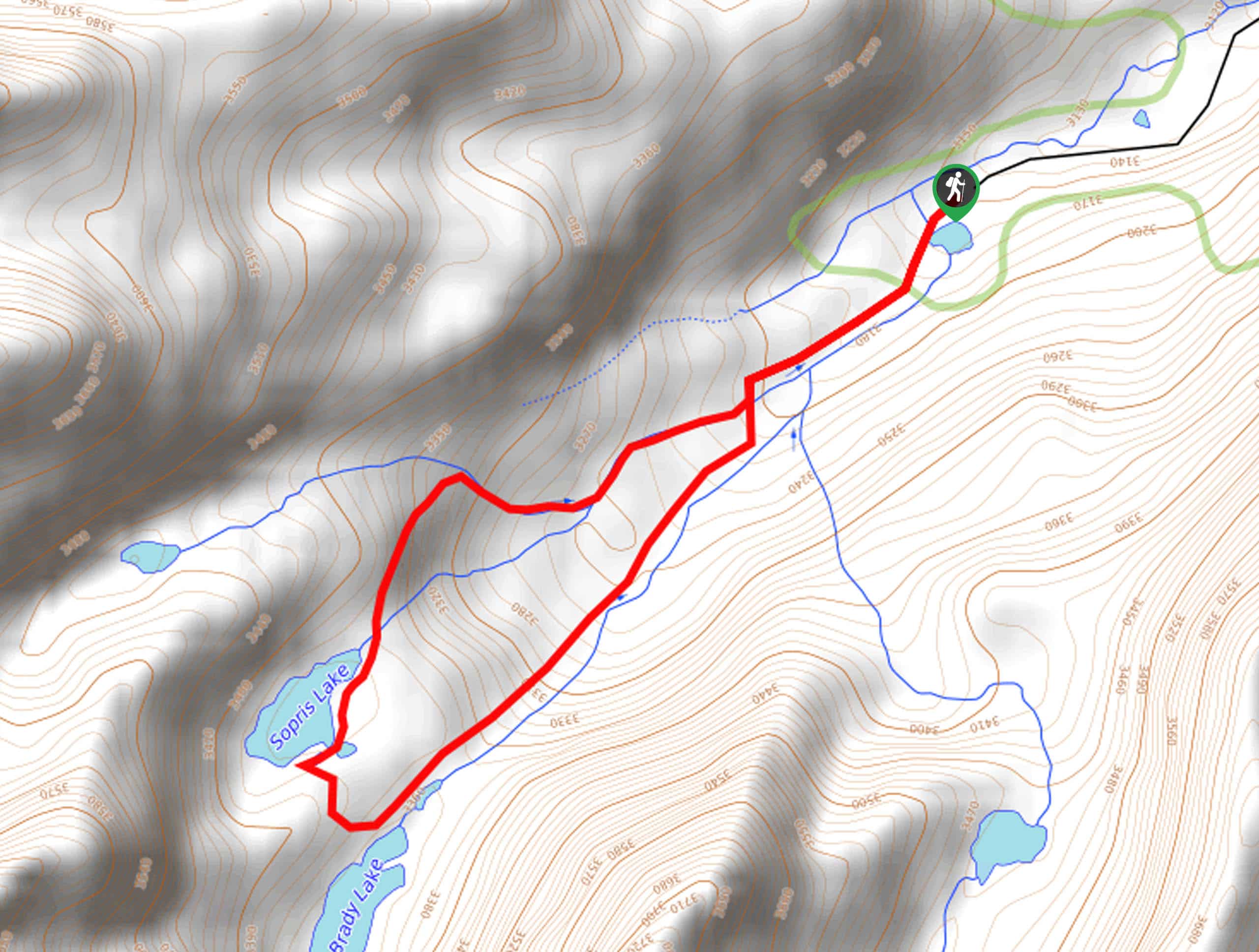
Sopris Lake via Brady Lake Trail
Immerse yourself in the jaw-dropping scenery that the Swatch Mountain Range has to offer, as you venture to Sopris Lake…
First Missouri Lake Trail
The First Missouri Lake Trail is a stunning day hike into Colorado’s high country. Explore the alpine terrain and revel…
Comments