Baldwin Lakes Trail
View Photos
Baldwin Lakes Trail
Difficulty Rating:
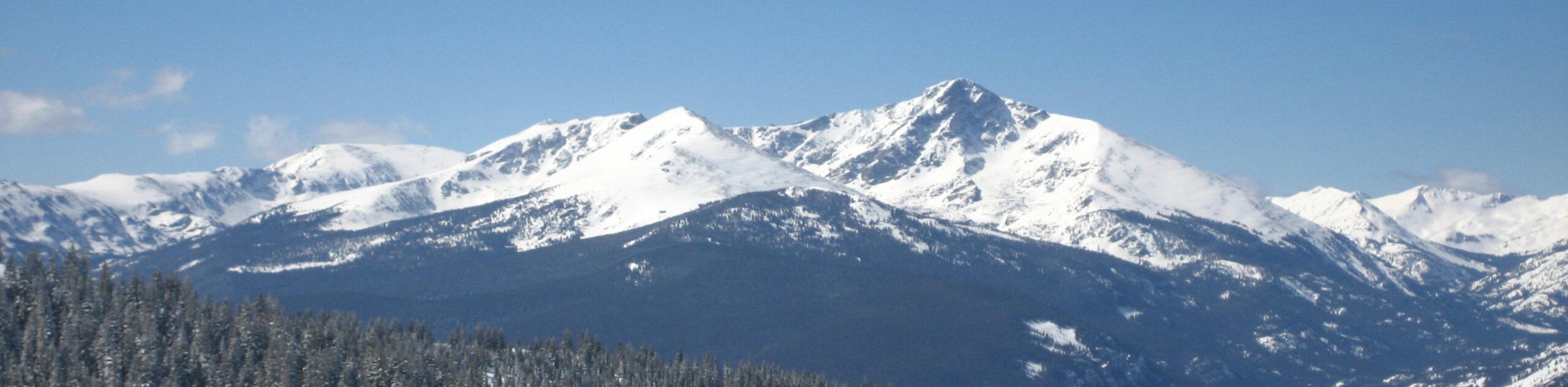
The Baldwin Lakes Trail is a wonderful adventure in the San Isabel National Forest up to a mountain basin laden with shimmering, blue-hued alpine lakes. Flanked by snow-capped Sawatch Mountain Range summits, this scenic hike delivers postcard-worthy views. Traveling along a shared off-roading route, this is an easy-to-follow path through Colorado’s alpine environment.
Getting there
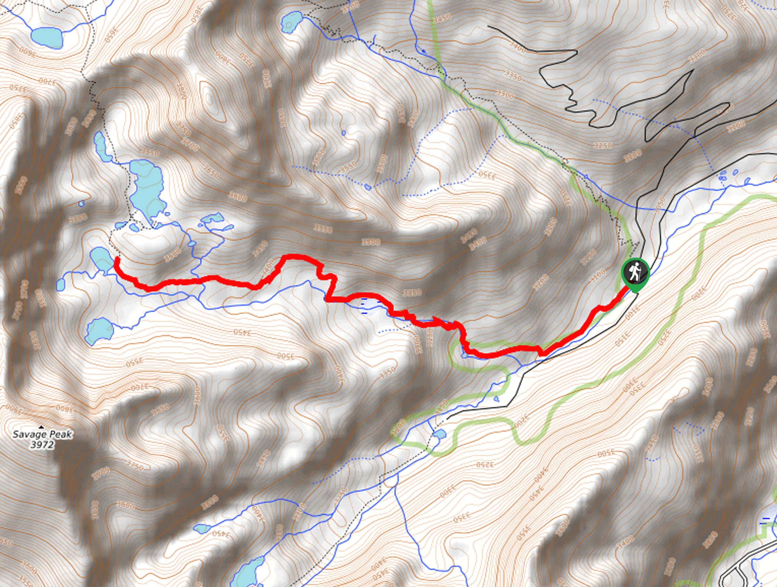
The Baldwin Lakes Trail departs from the Baldwin Gulch Trailhead off County Road 162.

About
| Backcountry Campground | No |
| When to do | June-September |
| Pets allowed | Yes - On Leash |
| Family friendly | No |
| Route Signage | Average |
| Crowd Levels | Low |
| Route Type | Out and back |
Baldwin Lakes Trail
Elevation Graph
Weather
Baldwin Lakes Trail Description
Ideal for those dipping their toes into high country hiking waters, the Baldwin Lakes Hike is a wonderful introductory ascent to high altitudes adventures. Travel along the semi-forest road amongst off-roaders and intrepid mountain bikers along the gurgling waters of Baldwin Creek up to the basin. In the company of fellow outdoor enthusiasts, you will be granted impressive views of Cronin Peak, Grizzly Mountain, Mount Mamma, and Boulder Mountain that hem the basin. Though taxing, the views from the trail’s culmination prove worth the effort. This versatile trail is open year-round; just trade your hiking boots for snowshoes in the winter. Note that the route is subject to seasonal vehicle closures, so check the bulletin at the trailhead.
Embark on your adventure along the Baldwin Lakes Trail from the Baldwin Gulch Trailhead. From here, track southeast along County Road 277. This section of the route will guide adventurers over several alpine creeks before encountering an intersection. At the fork, keep left, and you will be diverted south along Baldwin Creek. Hike the semi-forested route and let the meditative ambiance of the alpine stream lull you into a state of relaxation before confronting another junction. Keep right here, and you will shortly graduate from the timberline.
Admire the vibrancy of the alpine tundra’s vegetation as you trek up the increasingly rocky and steep terrain to the mountain basin. Revel in the views of the looming snow-capped peaks as you near the lakes. Soon you will summit the ridge; explore the blue-hued lakes that litter the basin, and rejuvenate your tired feet in the chilly waters. Take a break as you appreciate the expansive vistas, and when you are ready, retrace your footing along the path back to the trailhead.
Similar hikes to the Baldwin Lakes Trail hike
Mount of the Holy Cross Loop Trail
Hike up to one of the most famous Colorado 14ers along the Mount of the Holy Cross Loop Trail. This…
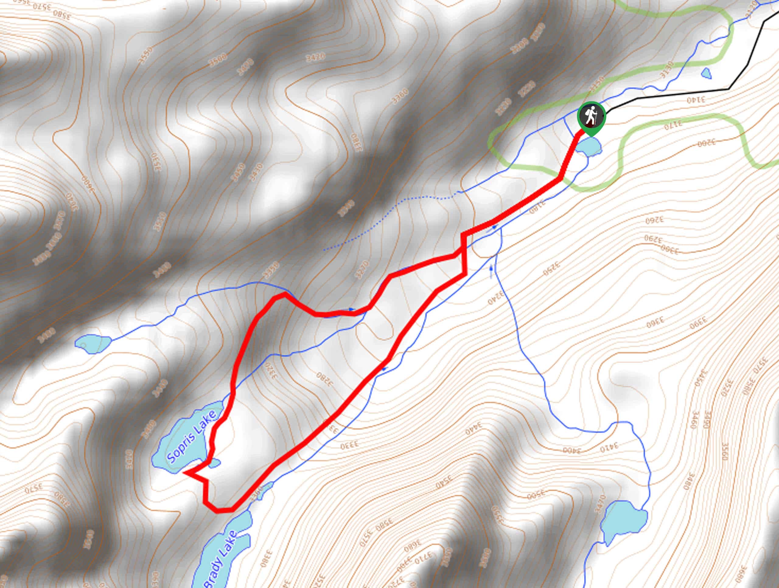
Sopris Lake via Brady Lake Trail
Immerse yourself in the jaw-dropping scenery that the Swatch Mountain Range has to offer, as you venture to Sopris Lake…
First Missouri Lake Trail
The First Missouri Lake Trail is a stunning day hike into Colorado’s high country. Explore the alpine terrain and revel…
Comments