
Browns Lake Trail
View Photos
Browns Lake Trail
Difficulty Rating:
Immerse yourself in the fresh air and let the astounding vistas of Colorado’s mountainous wilderness take your breath away along the Browns Lake Trail. This incredible nature walk is strenuous in sections, but the amazing scenery and alpine vistas rationalize the exhaustion. If you are seeking to push your personal limits, then consider this trek the next time you find yourself near Buena Vista.
Getting there
The Browns Lake Trail departs from the Browns Creek Trailhead off County Road 272.

About
| Backcountry Campground | Backcountry Dispersed Camping |
| When to do | April-September |
| Pets allowed | Yes - On Leash |
| Family friendly | Older Children only |
| Route Signage | Average |
| Crowd Levels | Moderate |
| Route Type | Out and back |
Browns Lake Trail
Elevation Graph
Weather
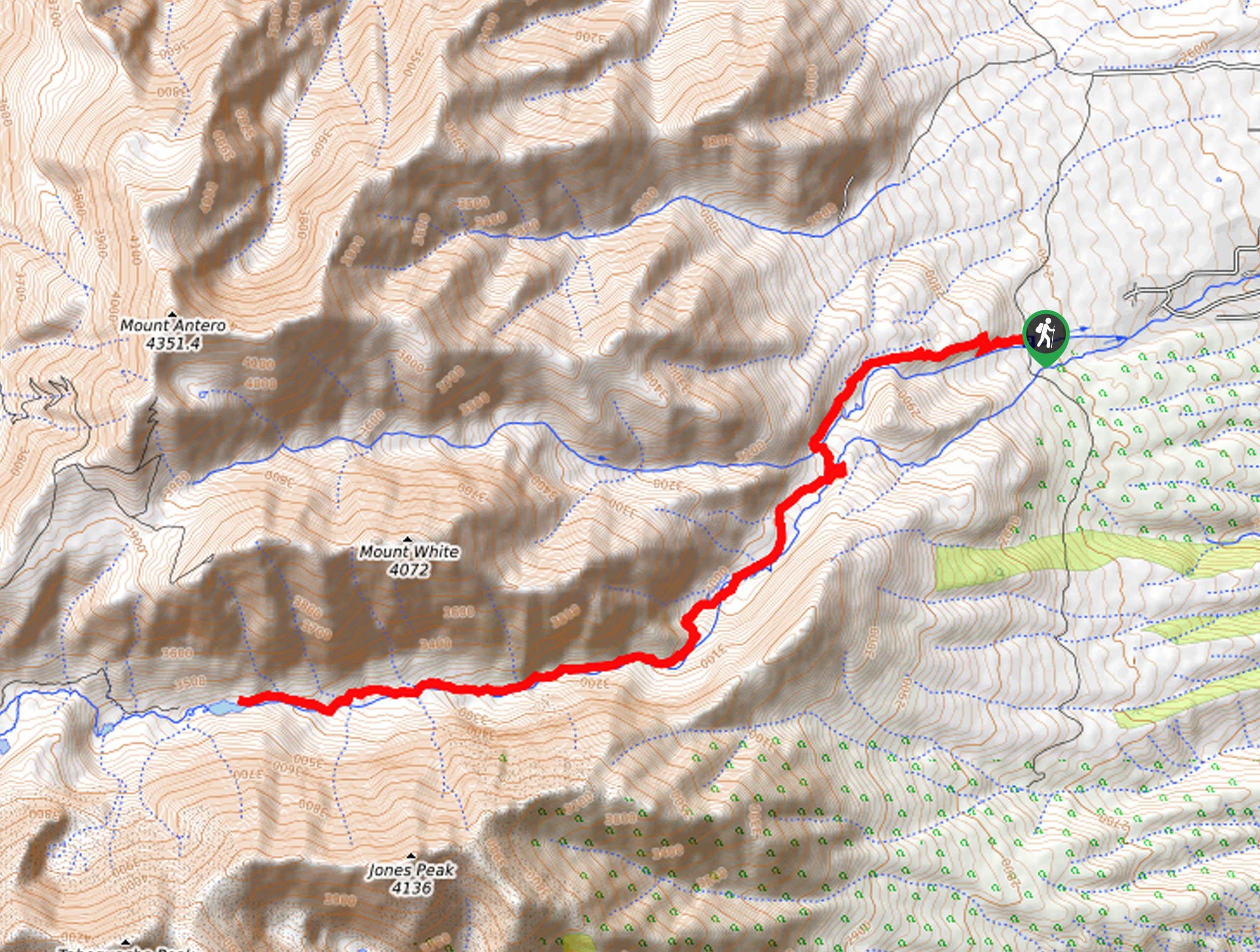
Browns Lake Trail Description
Travel through lush aspen groves, towering fragrant evergreens, and past a mesmerizing cascade on the Browns Lake Trail. This amazing adventure is chock-full of stunning scenery and incredible mountain views. Hike down a corridor lined with lush greenery and bounded by impressive snow-capped peaks as you make your way to the alpine lake. Lengthy and technical in sections, the views are well worth the effort. In the winter months, be sure to wear microspikes and consider trekking poles as the terrain after the waterfall can be hard to maneuver, especially when snow cloaked.
Embark on your adventure along the Browns Lake Trail from the Browns Creek Trailhead. From here, track west along the Wagon Loop Trail. Soon after your departure, you will encounter an intersection, stay left, and you will be diverted onto the Colorado Trail Segment 14. Hike this path, crossing over Little Browns Creek and Browns Creek before merging onto Browns Creek Trail, heading southwest. This route will intersect with Browns Creek on multiple occasions as it guides adventurers beneath the shade of lush trees before arriving at the falls. Enjoy the ambiance of the running waters and the mesmerizing sights. Rest here before beginning your final push to the lake.
After the cascades, the terrain proves more technical as hikers will have to navigate a boulder field and higher altitudes. Follow the path through aspen groves and open meadows that reveal astounding views of the surrounding peaks. Eventually, you will arrive at Browns Lake. Dip your tired feet in the chilly alpine waters and enjoy the postcard-worthy scenery. When you are finished reveling in the beauty, retrace your footing along the path back to the trailhead.
Similar hikes to the Browns Lake Trail hike
Mount of the Holy Cross Loop Trail
Hike up to one of the most famous Colorado 14ers along the Mount of the Holy Cross Loop Trail. This…
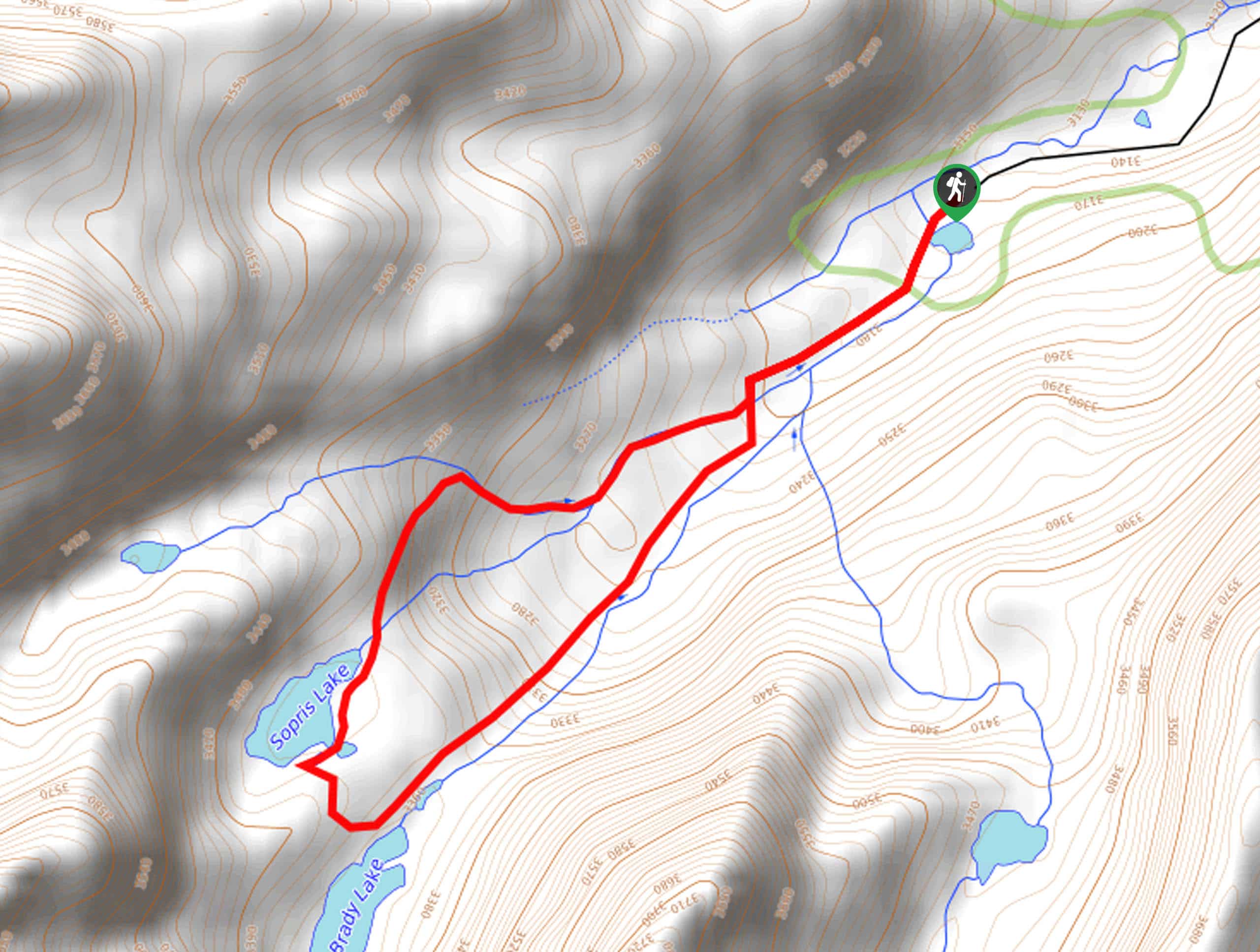
Sopris Lake via Brady Lake Trail
Immerse yourself in the jaw-dropping scenery that the Swatch Mountain Range has to offer, as you venture to Sopris Lake…
First Missouri Lake Trail
The First Missouri Lake Trail is a stunning day hike into Colorado’s high country. Explore the alpine terrain and revel…
Comments