
Flattop Mountain and Hallett Peak Hike
View Photos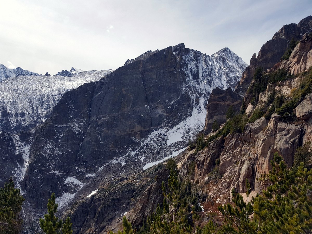
Flattop Mountain and Hallett Peak Hike
Difficulty Rating:
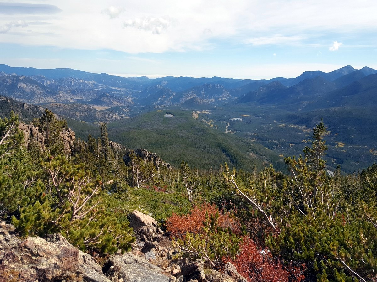
The Flattop Mountain hike can be a challenge as you climb towards the summit, but you are rewarded with stunning views. As you are hiking you can peer down onto some of the park’s other fantastic routes, such as the hikes to Dream Lake, Sprague Lake, and Emerald Lake.
Getting there
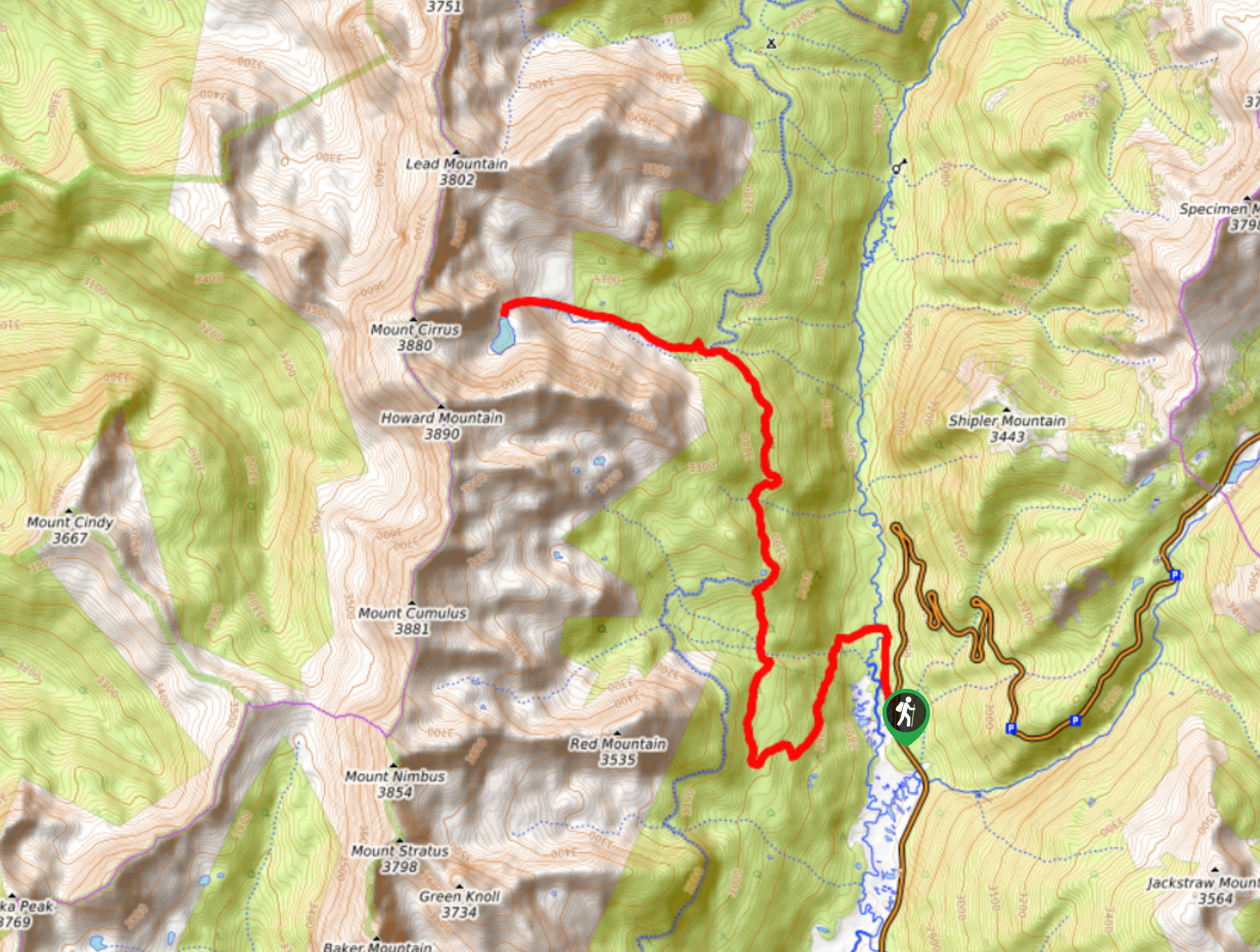
To get to the Flattop Mountain and Hallett Peak trailhead, take Highway 36 west from Estes Park and enter the Rocky Mountain National Park at the Beaver Meadows Entrance Station. Just after the pay station, turn left on Bear Lake Road. Follow the road for 10.0mi until it ends at the Bear Lake trailhead. This is a heavily used area. Save yourself some time by parking at the shuttle lot (5.0mi before the trailhead) and take the bus to the start of the hike.

About
| When to do | May through October |
| Backcountry Campsites | Available, permit required |
| Toilets | At trailhead |
| Family friendly | No |
| Route Signage | Average |
| Crowd Levels | Moderate |
| Route Type | Out and back |
Flattop Mountain and Hallett Peak Hike
Elevation Graph
Weather
Flattop Mountain & Hallett Peak Trail Description
Flattop Mountain Trail
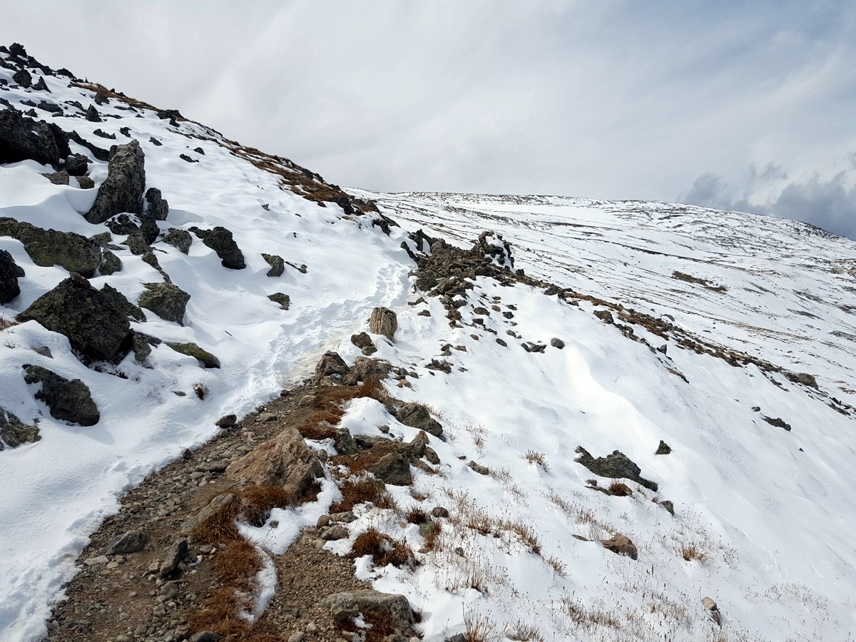
Don’t let the distance fool you – the Flattop Mountain trail can be challenging. Furthermore, the weather in this part of the Rockies can be variable, and in many cases you’ll experience very different conditions at the summit than you started with at the beginning of the hike. Pay close attention if lightning is forecast, and if so, consider a different hike.It’s also important to be mindful of the time of year. Flattop typically starts to see snow at the end of September. This summit hike will challenge you but not to the extreme of some of the other summit hikes of the park.
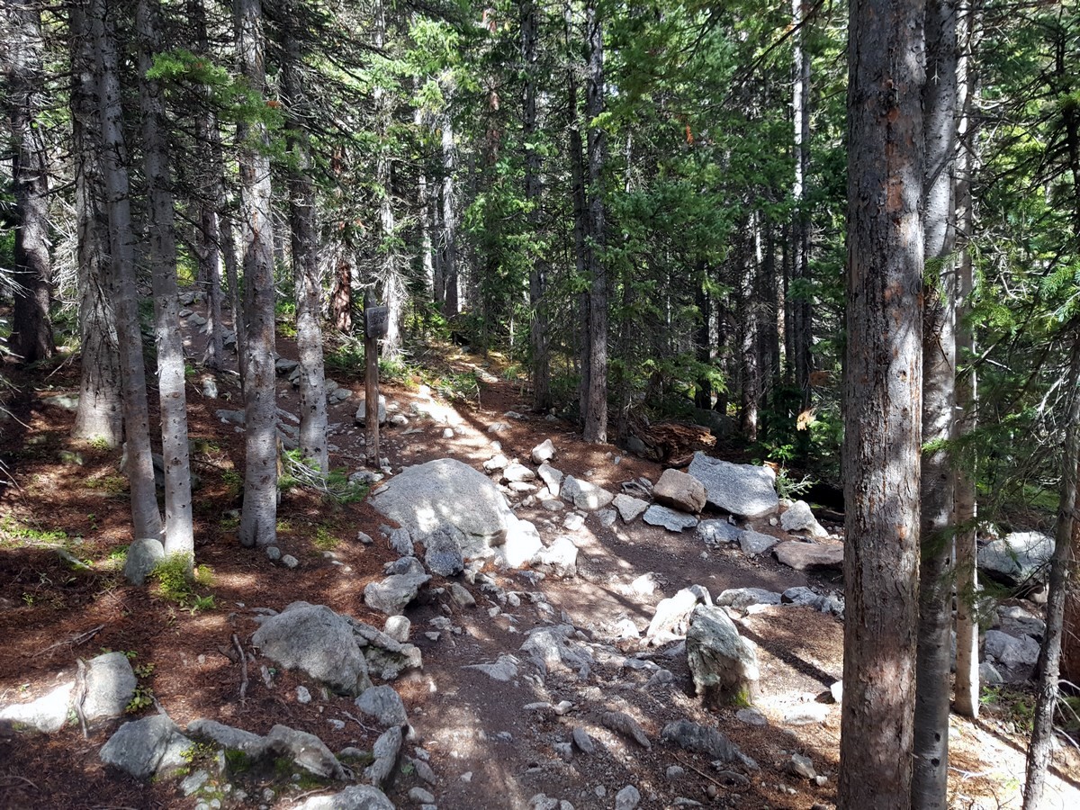
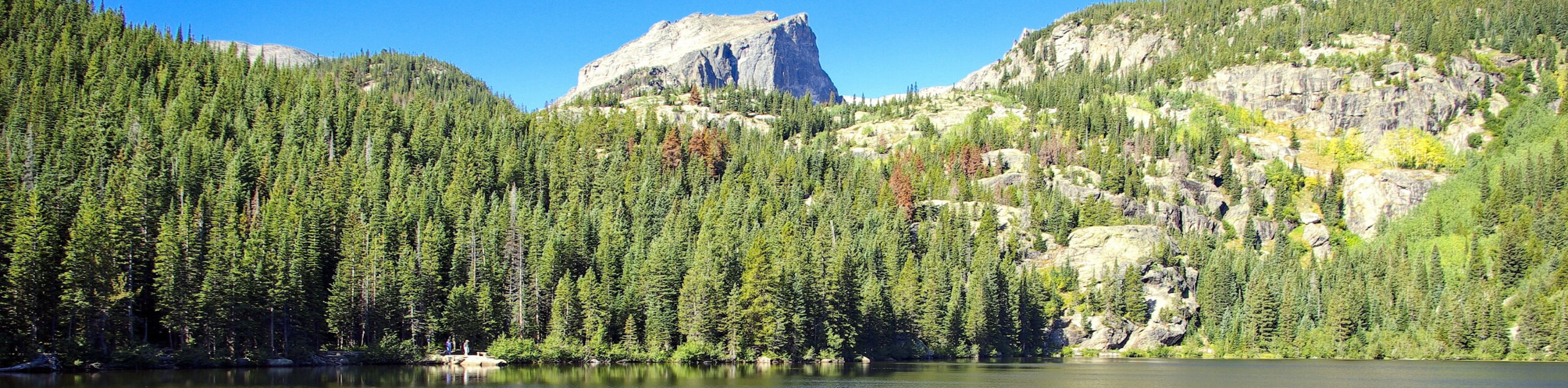
To start your hike up to Flattop Mountain, head to the right from the Bear Lake trailhead, going counter-clockwise around Bear Lake. In less than 0.3mi, you’ll see the turn-off for Flattop Mountain. It is marked with a sign and stairs. You’ll see the trailhead billboard just around the corner.
Follow the path for almost a 0.5mi until you reach the first intersection. Hang a left, following the well-marked signs for Flattop Mountain. You’ll travel on a gradual incline through aspens and thick pine trees for another 0.5mi to the next intersection. Here you’re going to turn left again and continue heading up. There are no other intersections until the summit of Flattop.
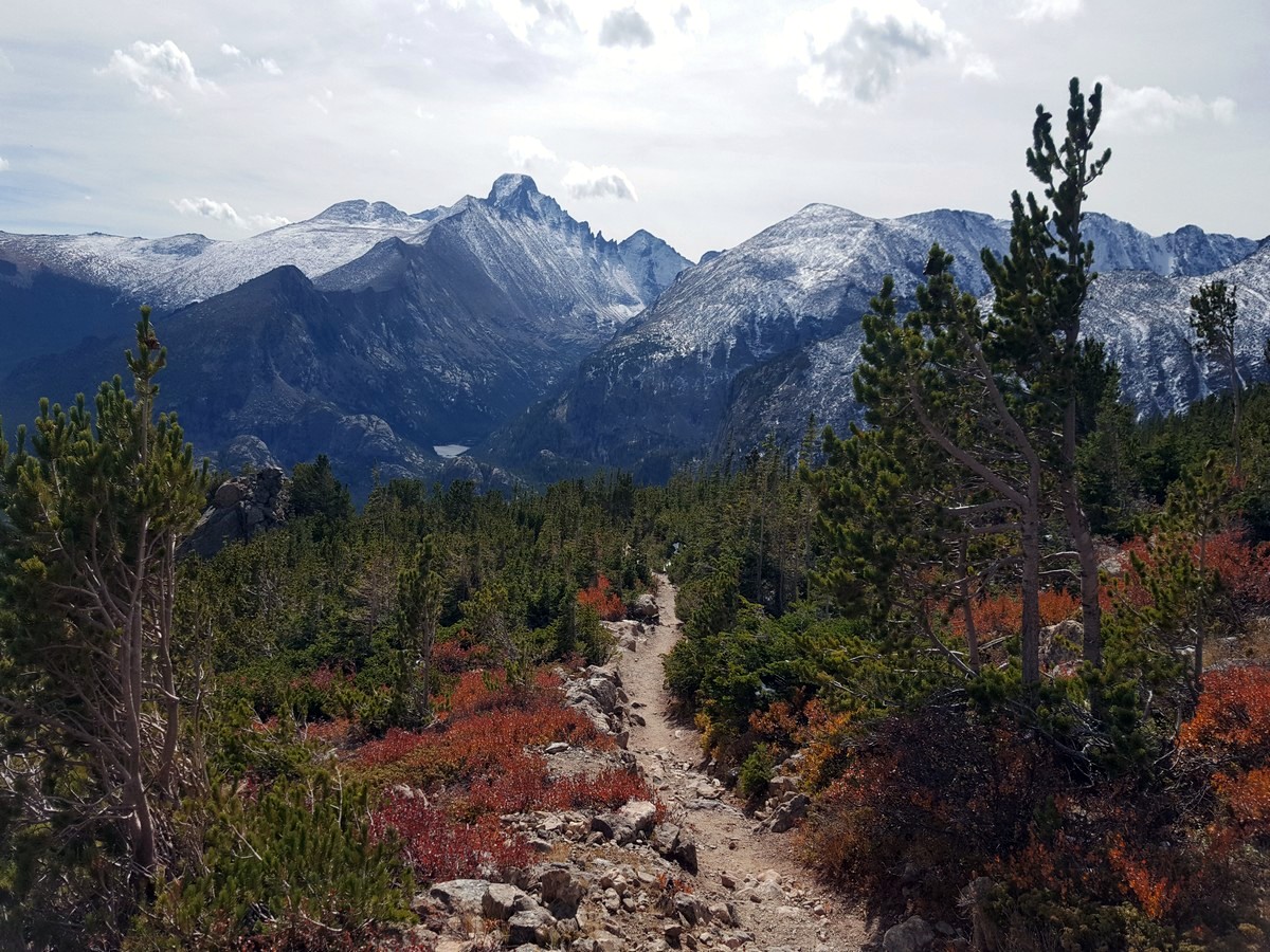
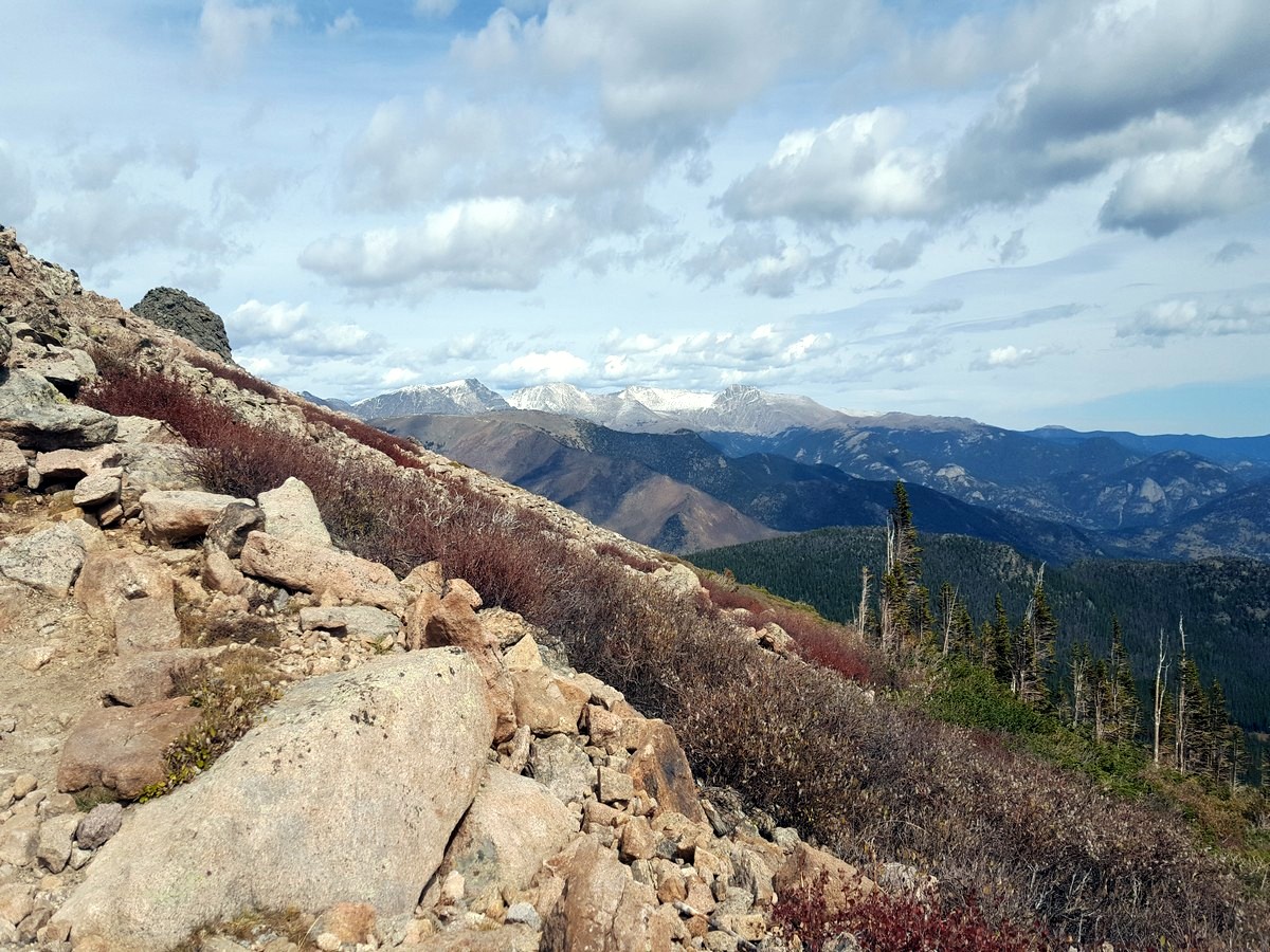
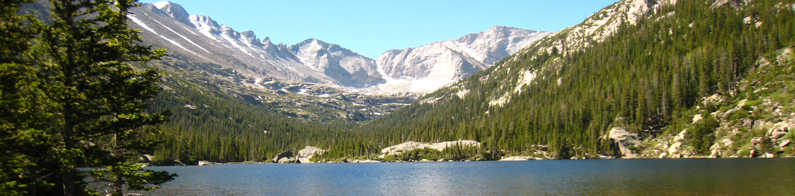
Approximately 2.0mi in, you’ll come to the corner of a switchback with a sign that says “Dream Lake Overlook. Do not descend.” Get as close to the edge as you feel comfortable and peer down, but be careful! You’ll see Dream Lake down below, amongst the trees.
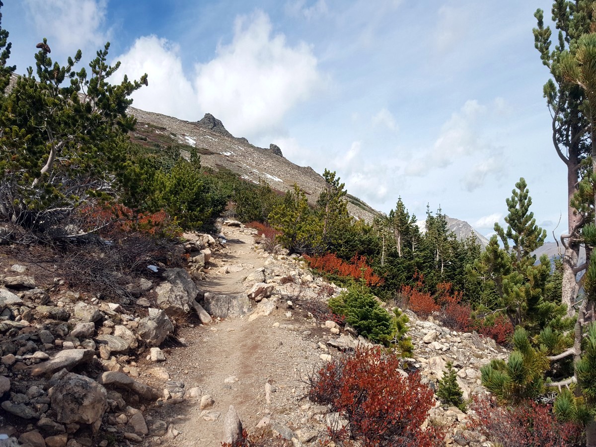
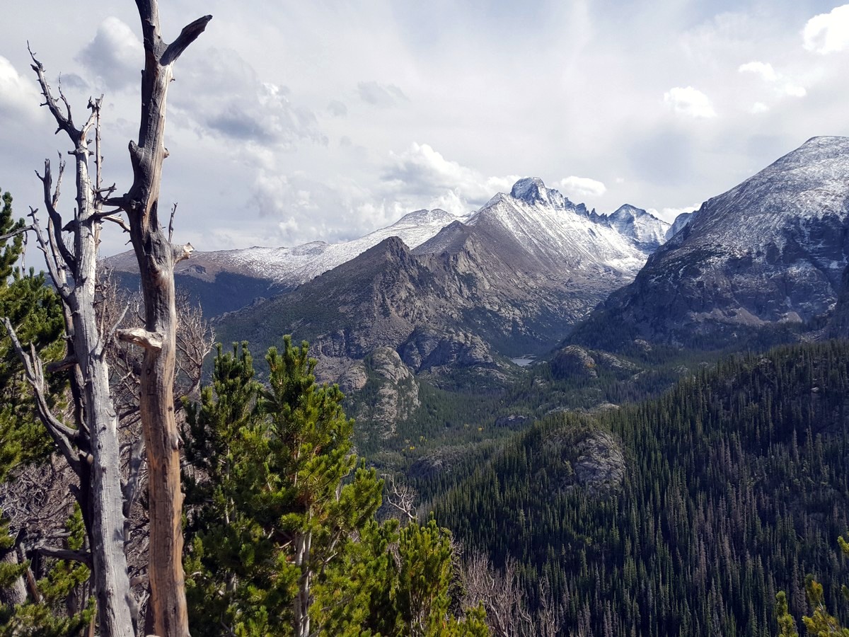
At 2.8mi into the hike, the trees start to thin and get smaller and smaller. Look to your right, and you’ll see Lake Bierstadt and Sprague Lake down below. If you look behind you, you’ll see Longs Peak towering over the valley.
You’ll be able to look down on Emerald Lake (marked by a sign) approximately 3.0mi into the hike.
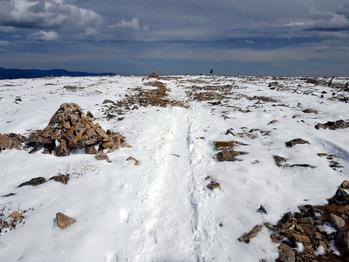
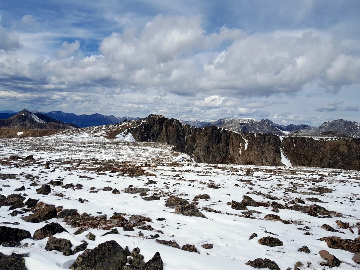
Just after looking down on Emerald Lake, the next set of switchbacks lead you out into the open, exposed alpine. The trail becomes rockier but is still well marked by a well-worn path. Keep climbing for another 1.5mi. It is often very windy at this point, making the trail seem more difficult than it is. Look to your left and you’ll see the summit of Hallett Peak. To the right is the Mummy Mountain Range.
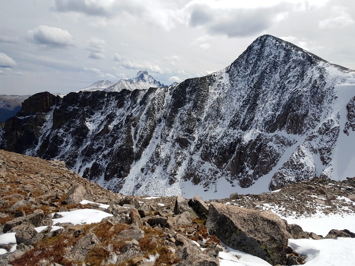
The trail eventually levels out and you’ll come to a signpost marking an intersection. This is the summit of Flattop. While you can turn around and head back the way you came, this is a great chance to also summit Hallett Peak.
Hallett Peak Hike
To summit Hallett Peak (note, this route isn’t shown on the GPS), follow the path as it continues straight and slightly to the left (heading south west). It’s another 0.8mi to the summit of Hallett and can be very challenging, often taking up to an hour. The elevation makes this ascent particularly difficult, especially to those who aren’t from Colorado.
From Hallett Peak, you can look down the western side of Rocky Mountain Park. While there are trails visible, none of them will take you back to the trailhead you started at.
To get back to the trailhead, turn around, retracing the way you came.
Want to find more amazing hikes in Rocky Mountain National Park? Check out Chasm Lake hike, Lake Haiyaha hike or the Sky Pond and Lake of Glass hike.
Insider Hints
Watch out for lightning and be prepared to get off the exposed part of this hike if you see any.
Another great hike is the loop trail to Odessa Lake, Fern Lake, and Lake Bierstadt.

Similar hikes to the Flattop Mountain and Hallett Peak Hike hike
Lake of the Clouds Hike
The Lake of the Clouds Hike is a picturesque adventure on the western border of the Rocky Mountain National Park.…
The Spearhead Hike
The Spearhead Hike is a demanding but awesome hike in the Rocky Mountain National Park. Ascend the Glacial Gorge past…
Bear Lake to North Inlet Hike
The Bear Lake to North Inlet Hike is a demanding one-way excursion across the Rocky Mountain National Park. This challenging…
TwoBoots 4 years ago
Incredible views. Fantastic 360 panorama
Ada Wright 5 years ago
Awesome hike. It was fun scrambling near the top. It was so thrilling and I love it.
athena1985 5 years ago
It's not that easy as it looks, but the trail was nice, and there are pleasant surroundings.
Michael Rivera 5 years ago
Carpark was pretty packed when we arrived around 1pm. Had to wait 15 minutes to get one. But overall, this hike is pretty awesome.
Monsiur Solo 5 years ago
Amazing hike. Lots of splendid views along the way. Expect to see lots of people in the afternoon.
Red Otter 5 years ago
Started the hike around 8am and finished 12:10am. We decided not to have our lunch there as we are not comfortable with the number of people.
Jedi Fox 5 years ago
Finished the hike in 3 hours. We need to stop a couple of times to rest and take photos. Nice surroundings and views.
Julia Totman 5 years ago
Just amazing. The air was very chilly had to take off my glasses a couple of times to wipe them.
Tyler Sledge 5 years ago
Nice hike that offers some minimal challenge. Using some microspikes and hiking poles would make trekking so much easier.
Nikola89 5 years ago
Very hard. You can see lakes and forests. Many colours on trees. Good hike.