Bluebird Lake hike
View Photos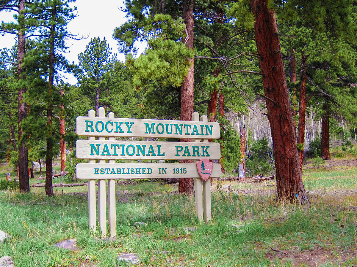
Bluebird Lake hike
Difficulty Rating:
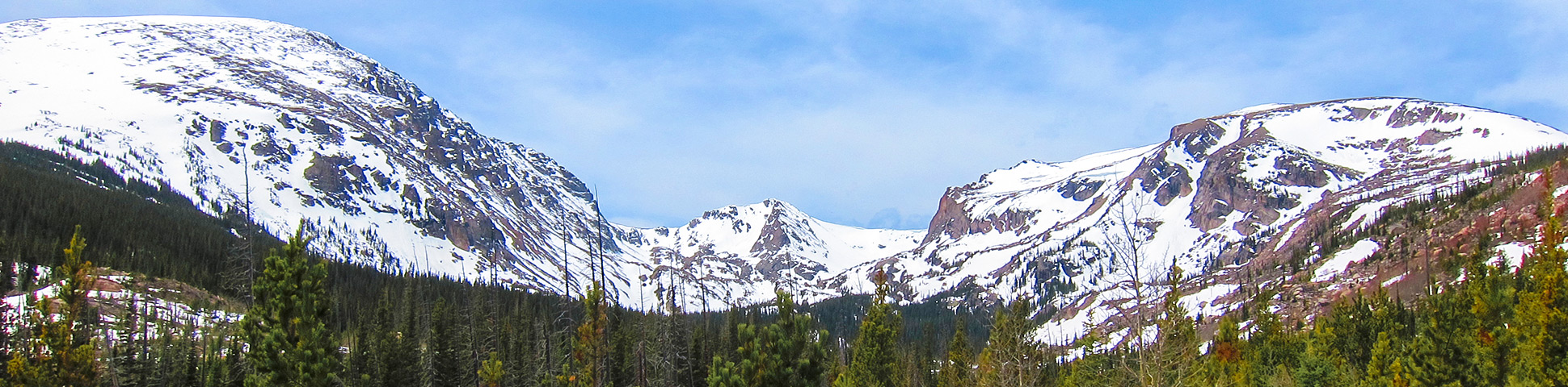
The Bluebird Lake hike is in the lesser known Wild Basin area of RMNP. Bluebird Lake offers amazing panoramic views of RMNP and Longs Peak. Be sure to tack on some extra time not only for the views at the top, but the whole route is scenic and breathtaking!
Getting there
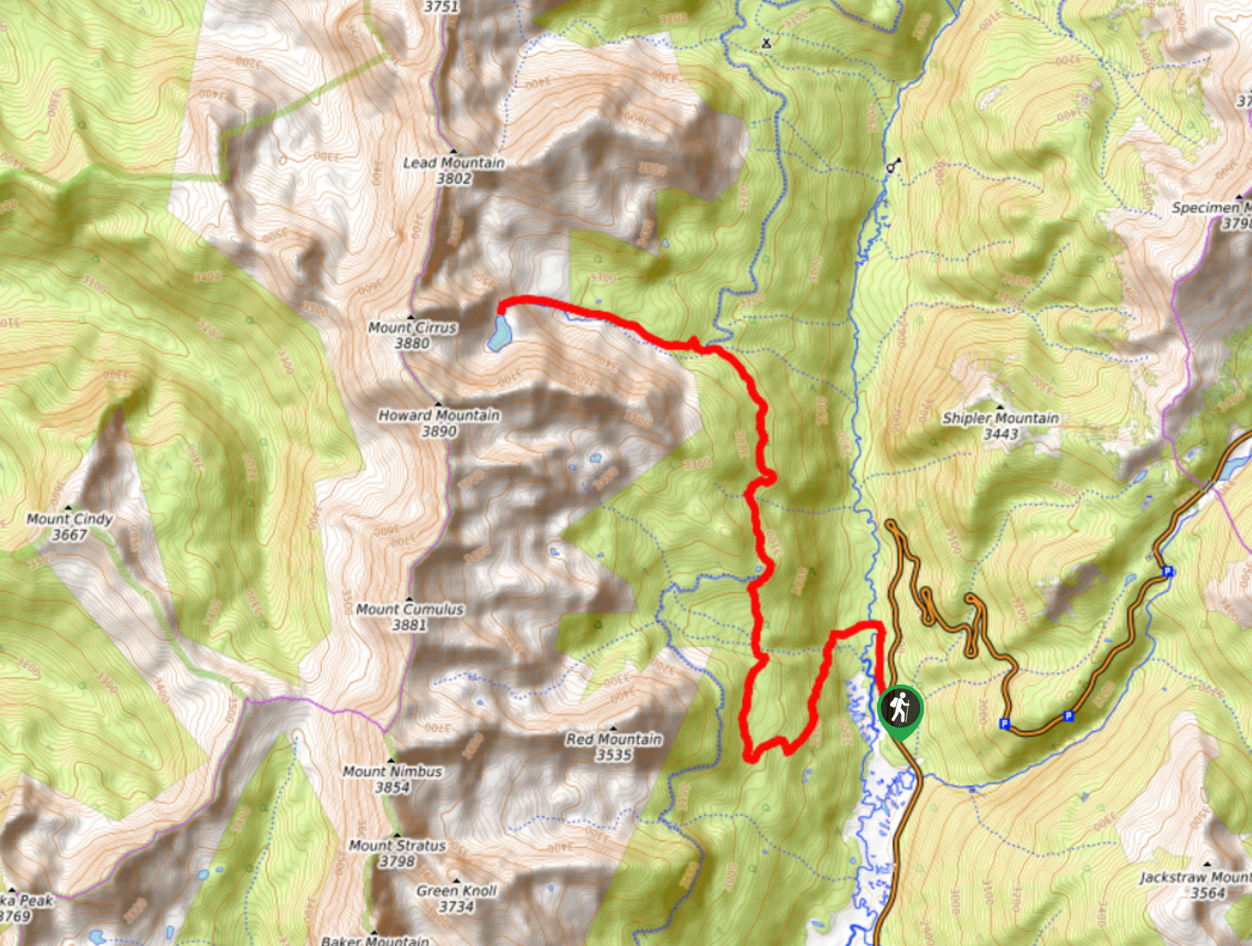
From Estes Park, take Highway 7 south for 25.0mi and turn right on to County Rd 84. From Lyons, turn left (south) onto 5th Ave., which turns into Highway 7. Follow it for about 20.0mi where you’ll turn left (west) on County Rd 84 following the signs for the Wild Basin Area. On County Rd 84, the road will split. Stay right and follow signs for Rocky Mountain National Parking (County Road 115). You’ll pass the Fee Station, which isn’t always manned, but you still need to pay the park fees. From here, the road becomes a narrow, windy, rough dirt road for about 5.0mi to the end the Wild Basin Trailhead.

About
| When to do | April to November |
| Backcountry Campsites | Camping is allowed in the backcountry, permits are required and can be obtained at the NP Visitors Center |
| Toilets | Yes, primitive pit toilet |
| Pets allowed | Yes - On Leash |
| Family friendly | No |
| Route Signage | Good |
| Crowd Levels | Low |
| Route Type | Out and back |
Bluebird Lake
Elevation Graph
Weather
Route Description for Bluebird Lake
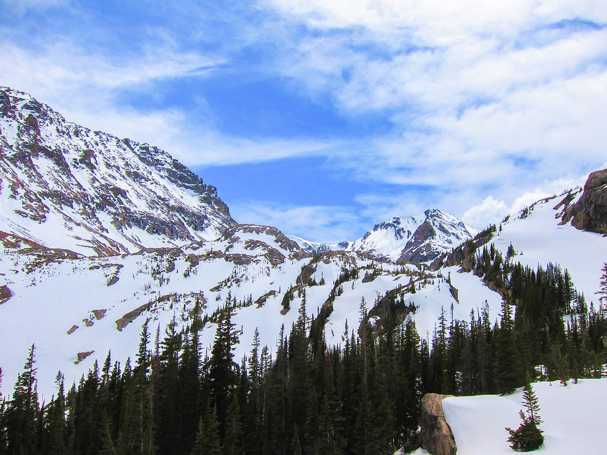
Rocky Mountain National Parks Bluebird Lake hike is a wonderful hike, with great views. We like it because it is in Wild Basin, a lesser known, southern section of RMNP that borders Indian Peaks Wilderness off of the Peak to Peak Hwy.
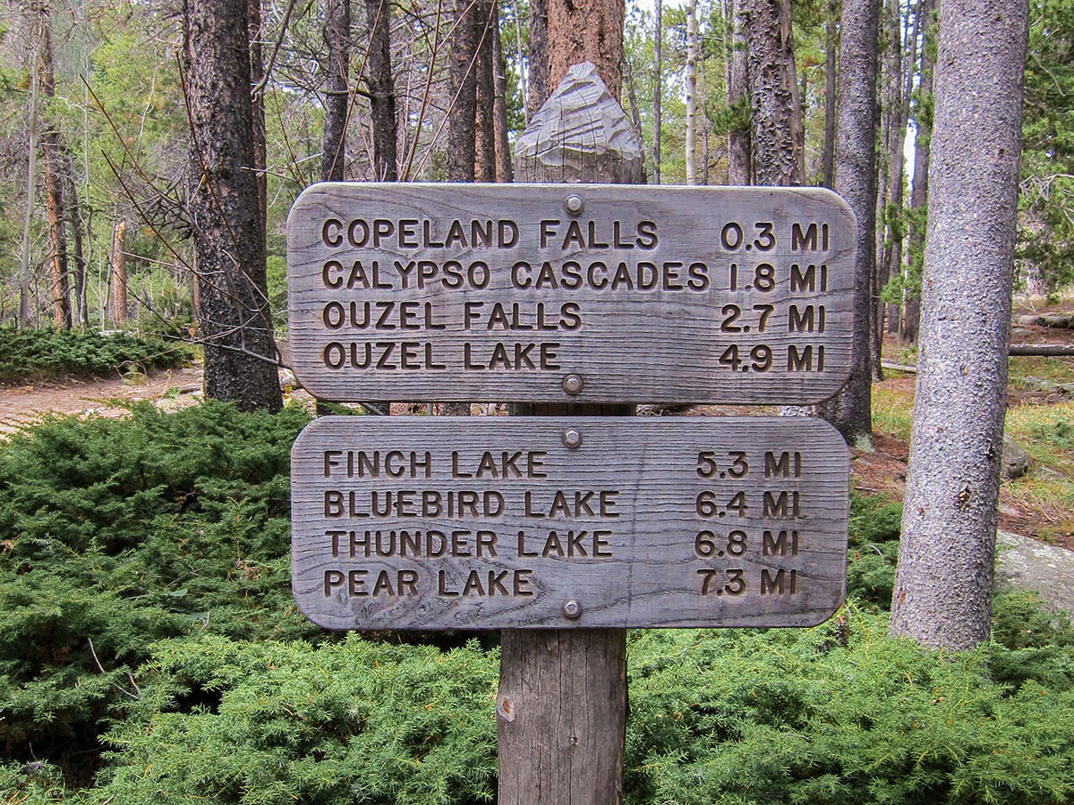
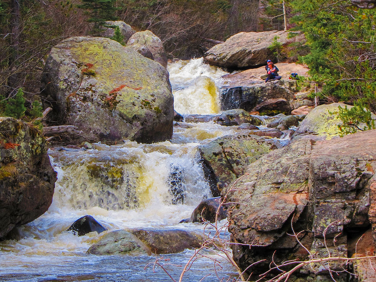
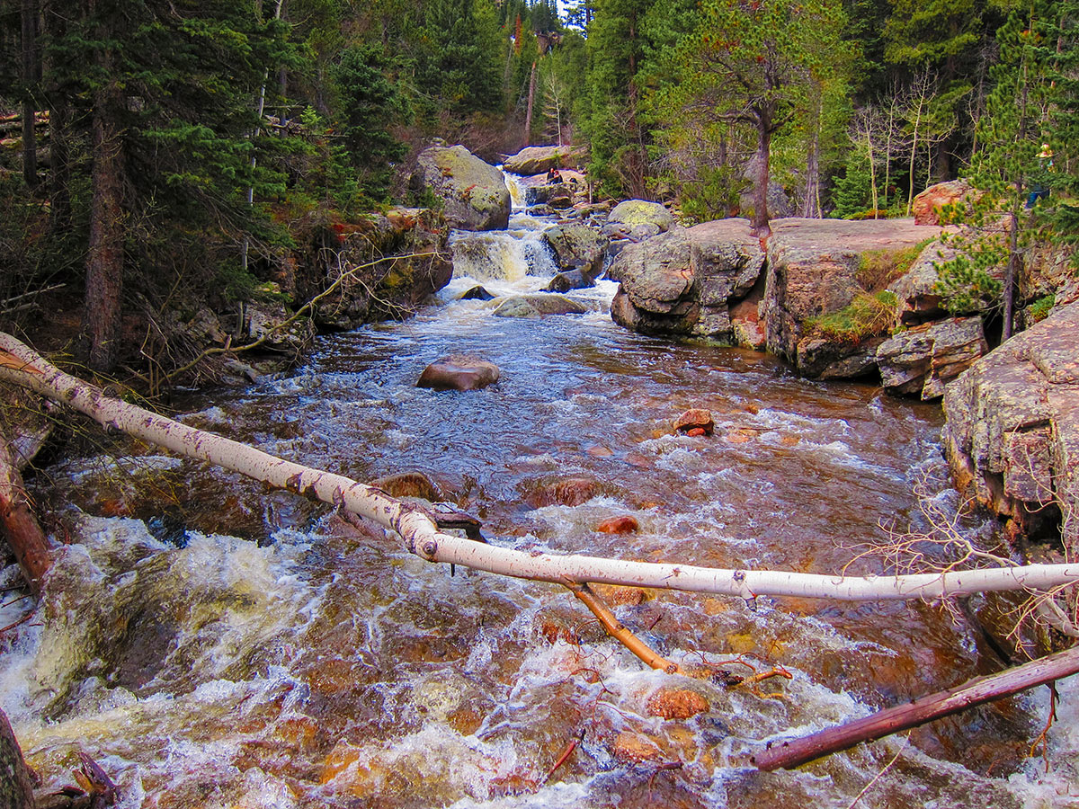
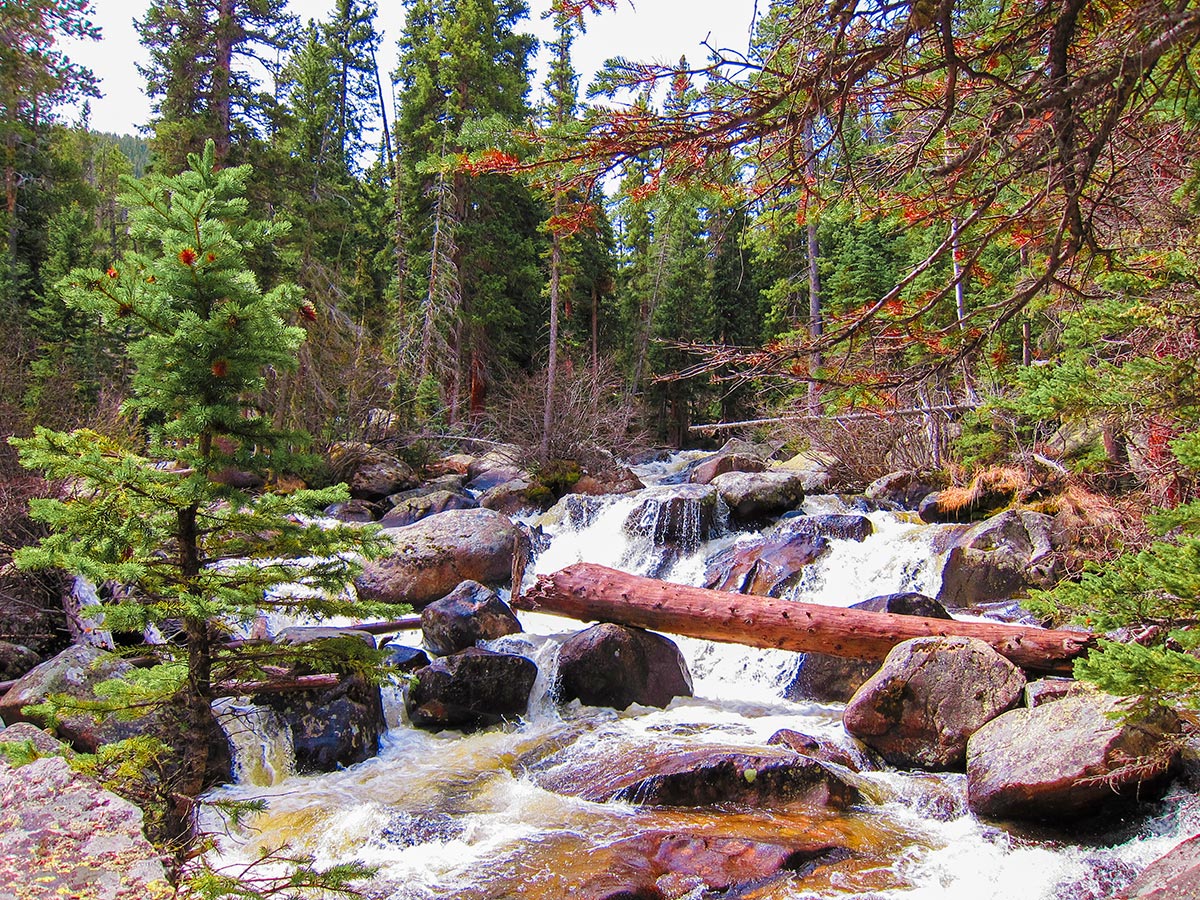
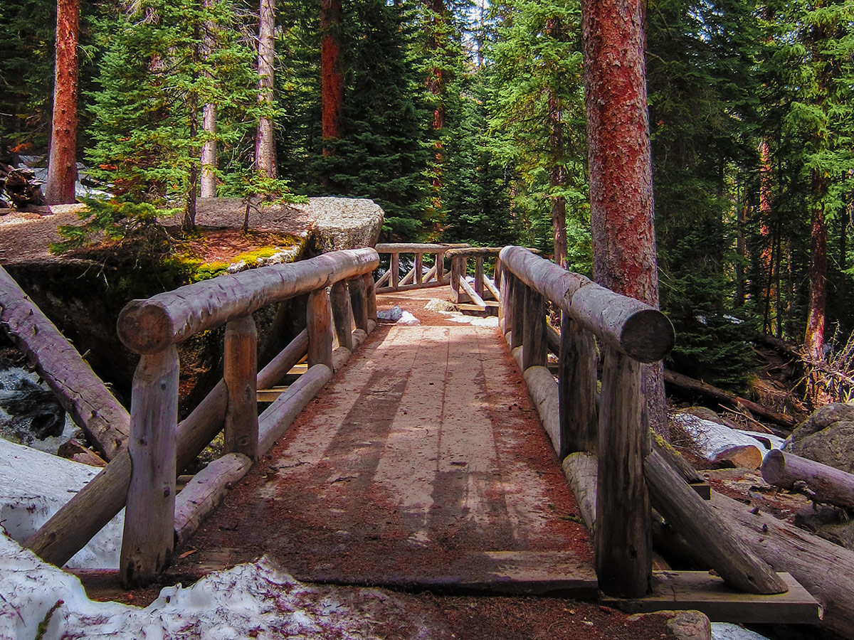
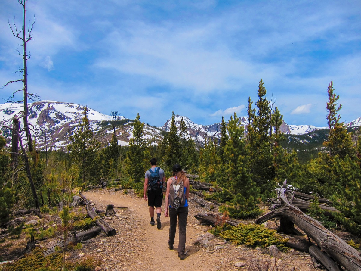
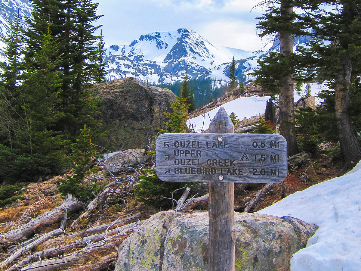
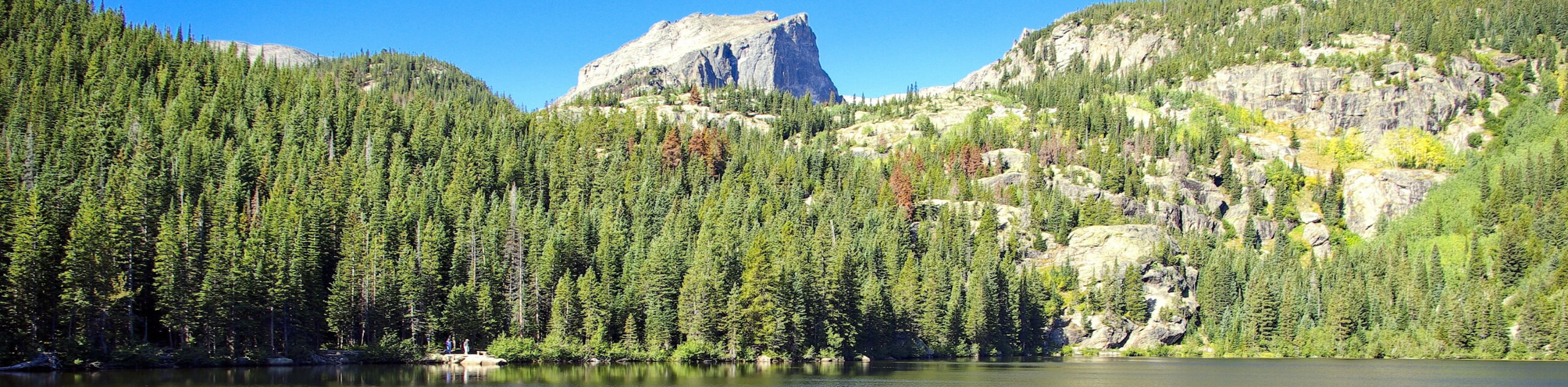
To hike to Bluebird Lake, from the Wild Basin Trailhead, follow the Wild Basin Trail towards Ouzel Lake. The Bluebird Lake hike starts out in a dense pine forest along the North Saint Vrain Creek and Copeland Falls.
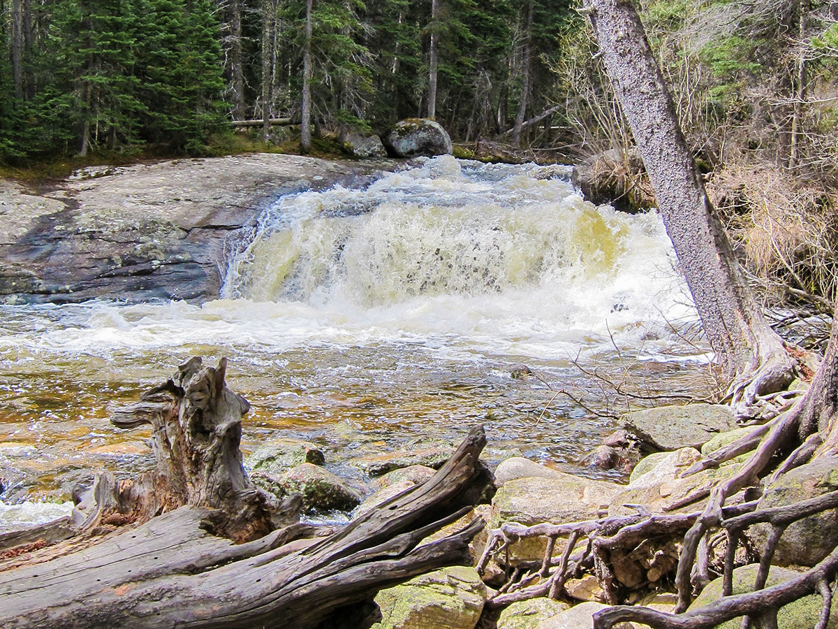
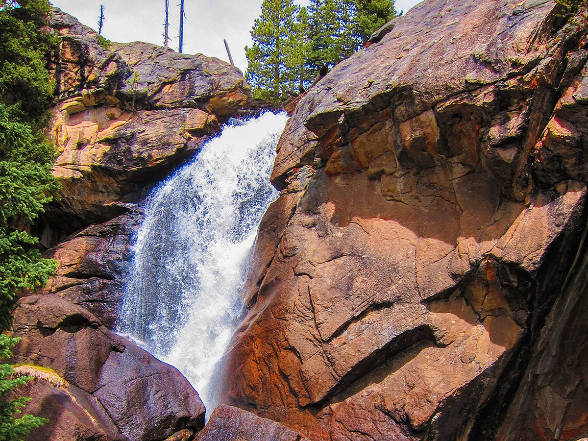
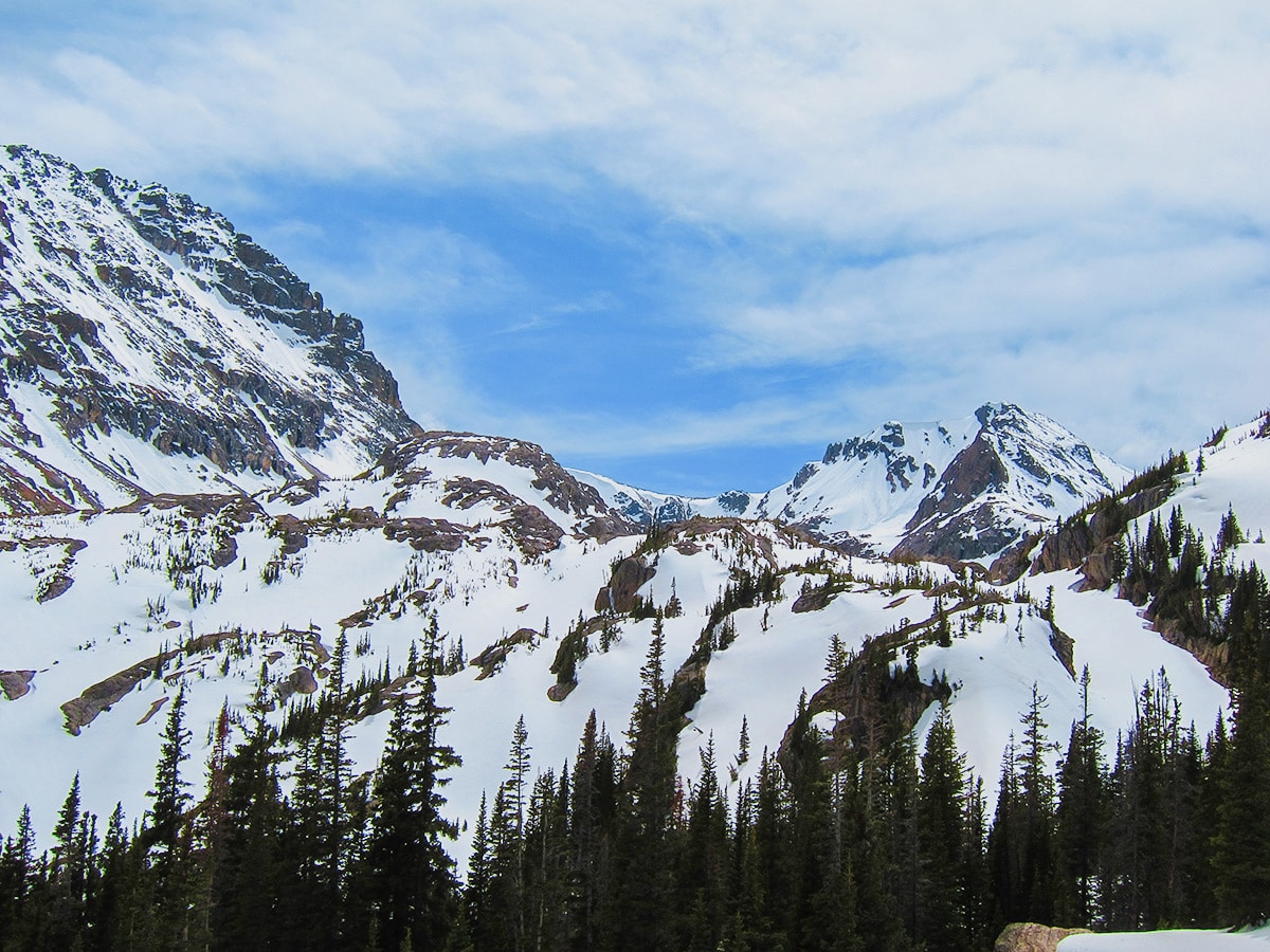
Slowly gaining elevation, the trail will arrive at a bridge and trail junction at Calypso Falls. Continue on the trail to Ouzel Falls, an amazing waterfall! From Ouzel Falls, the trail will quickly gain elevation, gaining an alpine ridge line.
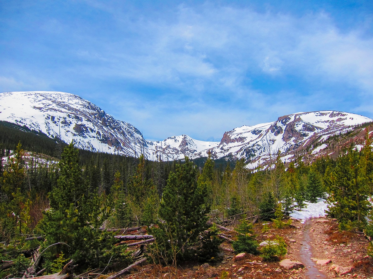
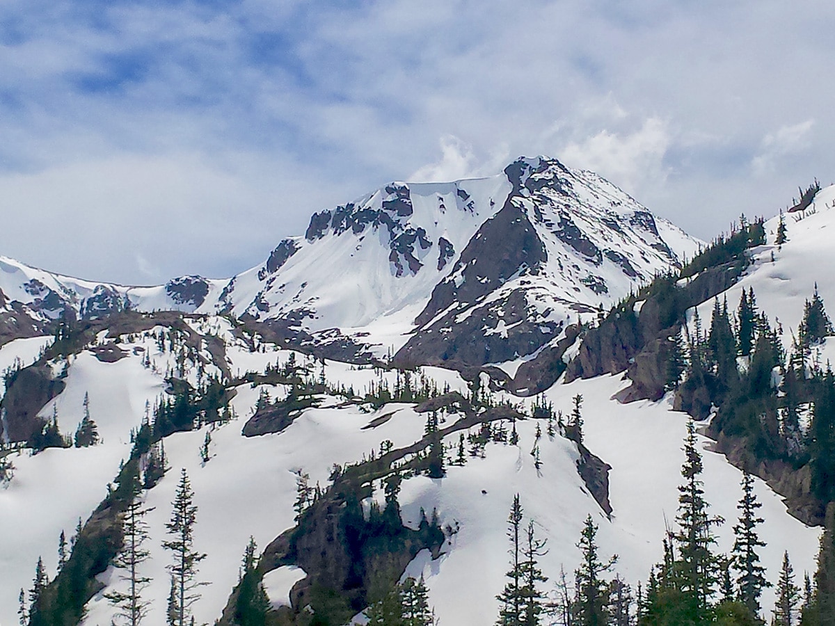
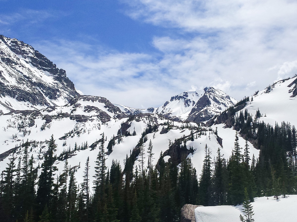
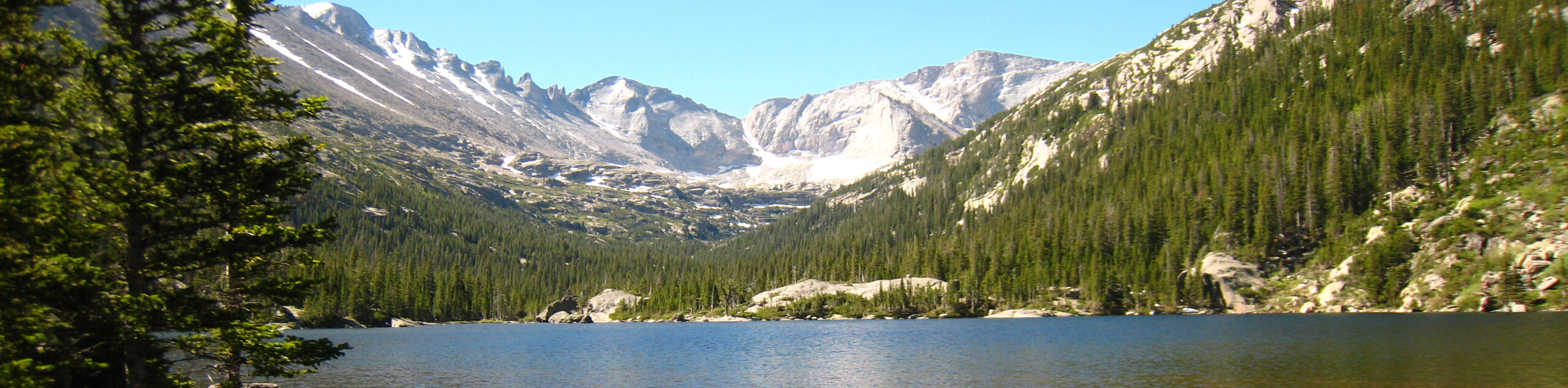
Along the ridge, the panoramic views of RMNP and the Wild Basin are incredible. Notable peaks straight ahead of you are Copeland Mountain (13176ft), Isolation Peak (13117ft) Mt. Alice (13310ft) and Ouzel Peak (12717ft), and to the north Longs Peak (14259ft) and Mount Meeker (13911ft). Ouzel Lake lies at the end of the ridge line.
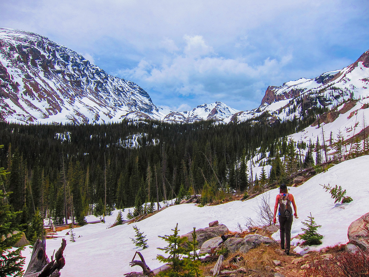
Continue past Ouzel Lake along the trail as it climbs up the narrowing valley to the base of Bluebird Lake. Soon you reach Bluebird Lake, where it’s a great time to take a break and enjoy this beautiful place.
To get back to the Wild Basin trailhead, return the way you came by retracing your steps.
Want to find more amazing hikes in Rocky Mountain National Park? Check out Chasm Lake hike, Lake Haiyaha hike or the Sky Pond and Lake of Glass hike.
Insider Hints
Visit Rock Creek Tavern & Pizzeria in the small mountain town of Allenspark!

Similar hikes to the Bluebird Lake hike
Lake of the Clouds Hike
The Lake of the Clouds Hike is a picturesque adventure on the western border of the Rocky Mountain National Park.…
The Spearhead Hike
The Spearhead Hike is a demanding but awesome hike in the Rocky Mountain National Park. Ascend the Glacial Gorge past…
Bear Lake to North Inlet Hike
The Bear Lake to North Inlet Hike is a demanding one-way excursion across the Rocky Mountain National Park. This challenging…
BoulderBound 4 years ago
Strenuous but rewarding hike. Breath-taking views everywhere.
TwoBoots 4 years ago
Favorite trail I’ve done in Colorado! Highly recommend for anyone looking for an adventure.
Tom Pack. 4 years ago
Great adventure! Very challenging with unbelievable views and Ouzel Falls was beautiful
Florence P. 4 years ago
A great hike with amazing views. The lake is festooned with amazingly gorgeous Limber Pines.